Lype Common

Downs, Moorland in Somerset Somerset West and Taunton

England

Lype Common

View across Lype Common
View across Lype Common Credit: thejackrustles

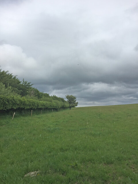
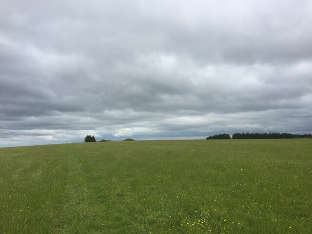
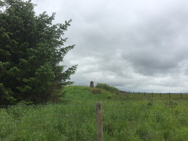
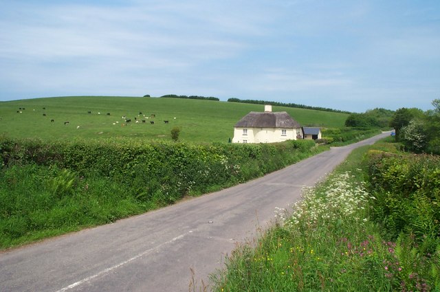
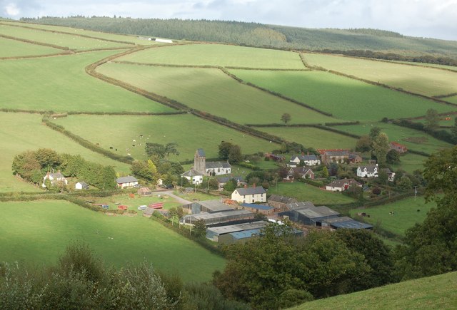
Lype Common, located in Somerset, England, is a diverse natural landscape that encompasses both downs and moorland. It spans an area of approximately 500 acres and is situated within the stunning Mendip Hills. The common is a designated Site of Special Scientific Interest (SSSI) due to its significant ecological value.

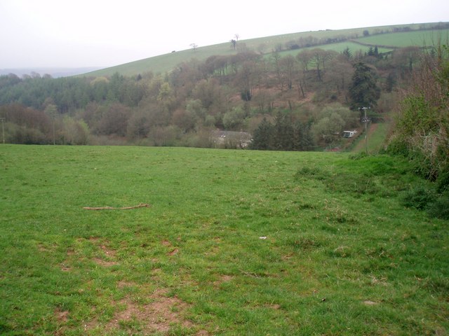
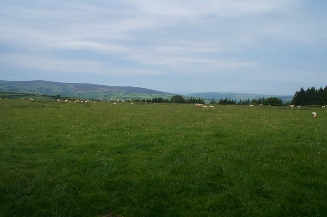
The downs of Lype Common are characterized by rolling hills covered in short grasses and scattered scrubland. These areas provide vital grazing grounds for a variety of livestock, including sheep and cattle. The downland also supports an array of wildflowers, such as orchids and bluebells, which create a vibrant and colorful display during the spring and summer months.

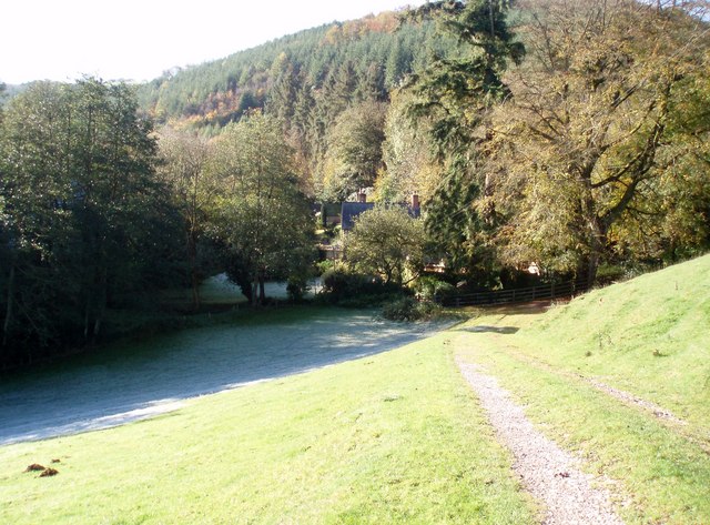
In contrast, the moorland section of Lype Common is characterized by open expanses of heather and gorse. This habitat is home to a range of bird species, including skylarks, stonechats, and wheatears. Additionally, the moorland supports a variety of reptiles, such as adders and common lizards, as well as small mammals like rabbits and voles.

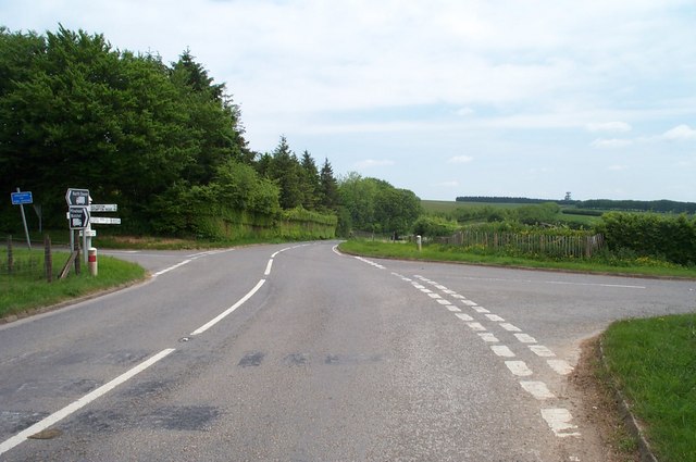
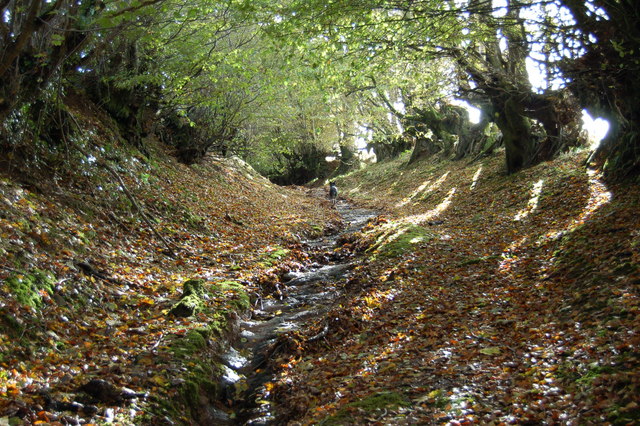
Lype Common is a popular destination for outdoor enthusiasts, offering numerous walking trails and opportunities for birdwatching. The common also provides a crucial habitat for a number of rare and protected species, including the silver-studded blue butterfly and the greater horseshoe bat.

Overall, Lype Common is a diverse and ecologically important landscape, offering visitors the chance to experience the beauty and tranquility of the Somerset countryside.

If you have any feedback on the listing, please let us know in the comments section below.

Lype Common Images

Images are sourced within 2km of 51.123206/-3.4925628 or Grid Reference SS9537. Thanks to Geograph Open Source API. All images are credited.

View across Lype Common
View towards Lype Hill Trig Point
Lype Hill Trig Point Flush Bracket S3930
Gupworthy "Terminus" The old station buildings of what was the western end of the old Mineral Railway are now in private hands, but the sign on the gate refers to Gupworthy Terminus!
Gupworthy "Terminus"
The old station buildings of what was the western end of the old Mineral Railway are now in private hands, but the sign on the gate refers to Gupworthy Terminus!
St. Mary's Church Luxborough This unusual little church has an elevated position just above the part of Luxborough known as Churchtown.
St. Mary's Church Luxborough
This unusual little church has an elevated position just above the part of Luxborough known as Churchtown.
Nurcott Farm. This smart farm now offers holiday cottages to rent.
Nurcott Farm.
This smart farm now offers holiday cottages to rent.
View across the Valley Taken on a drizzly spring day, the solitary house in the bottom of the valley is on the lane to Chargot House.
View across the Valley
Taken on a drizzly spring day, the solitary house in the bottom of the valley is on the lane to Chargot House.
House at Couple Cross, in the Brendon Hills
Cottage north of Lype Hill On the road down to Timberscombe from Lype Hill
Cottage north of Lype Hill
On the road down to Timberscombe from Lype Hill
Bridleway at White Moor, near Lype Hill A public Bridleway, now part of the Coleridge Way long distance path, runs across this field from where the photo was taken. Obviously not used by horses, nor by many people!
Bridleway at White Moor, near Lype Hill
A public Bridleway, now part of the Coleridge Way long distance path, runs across this field from where the photo was taken. Obviously not used by horses, nor by many people!
Heath Poult Cross Looking east along the B3224, which runs along the top of the Brendon Hills
Heath Poult Cross
Looking east along the B3224, which runs along the top of the Brendon Hills
Telecoms Tower at Lype Common This massive tower dominates the skyline along the B3224 on the Brendon Hills. It is sited at one of the highest points, 400 metres above sea level.
Telecoms Tower at Lype Common
This massive tower dominates the skyline along the B3224 on the Brendon Hills. It is sited at one of the highest points, 400 metres above sea level.
Part of The Samaritans Way (South West) Torrential rain had recently washed away the thin layer of soil to expose the bedrock down the centre of this old and little-used bridleway.
Part of The Samaritans Way (South West)
Torrential rain had recently washed away the thin layer of soil to expose the bedrock down the centre of this old and little-used bridleway.
Churchtown viewed from Samaritans Way Churchtown, with it historic church, is one of the three hamlets which make up the Parish of Luxborough.
Churchtown viewed from Samaritans Way
Churchtown, with it historic church, is one of the three hamlets which make up the Parish of Luxborough.
Collyhill Wood From the footpath to Kennisham Hill.
Collyhill Wood
From the footpath to Kennisham Hill.
House at the edge of Chargot Wood
Cutcombe: Old Stowey Looking down on the farm from the road between Heath Poult Cross and Timberscombe with Croydon Hill on the skyline. View east-north-east
Cutcombe: Old Stowey
Looking down on the farm from the road between Heath Poult Cross and Timberscombe with Croydon Hill on the skyline. View east-north-east
Bridleway to Leigh Farm This is the entrance to a well-maintained track and bridleway. Leigh Farm is quite a way down this track in the SS9633 gridsquare and is actually on a track which leaves the course of the bridleway after about a kilometre.
Bridleway to Leigh Farm
This is the entrance to a well-maintained track and bridleway. Leigh Farm is quite a way down this track in the SS9633 gridsquare and is actually on a track which leaves the course of the bridleway after about a kilometre.
Show me another place!

Lype Common is located at Grid Ref: SS9537 (Lat: 51.123206, Lng: -3.4925628)

Administrative County: Somerset

District: Somerset West and Taunton

Police Authority: Avon and Somerset

What 3 Words

///dentistry.smallest.unionists. Near Minehead, Somerset

Related Wikis

Brendon Hills

The Brendon Hills are a range of hills in west Somerset, England. The hills merge level into the eastern side of Exmoor and are included within the Exmoor...

Gupworthy railway station

Gupworthy (sometimes referred to as "Goosemoor") was originally intended as an intermediate station on the West Somerset Mineral Railway (WSMR), but neither...

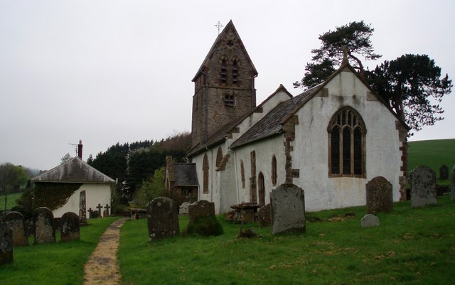
St Mary's Church, Luxborough

The Anglican St Mary's Church at Luxborough within the English county of Somerset dates from the 13th century. It is a Grade II listed building.The chancel...

Luxborough

Luxborough is a small village and civil parish located some 6 miles (9.7 km) south of Dunster, lying amongst the Brendon Hills and the Exmoor National...

Luxborough Road railway station

Luxborough Road (sometimes referred to as "Langham" or "Langham Hill") was an intermediate station on the West Somerset Mineral Railway (WSMR), which was...

Church of St John, Cutcombe

The Anglican Church of St John in Cutcombe, Somerset, England was built in the 13th and 14th centuries. It is a Grade II* listed building. == History... ==

Cutcombe

Cutcombe is a village and civil parish 9 miles (14 km) south of Minehead and north of Dulverton straddling the ridge between Exmoor and the Brendon Hills...

Timberscombe

Timberscombe is a village and civil parish on the River Avill 2.5 miles (4 km) south-west of Dunster, and 5.5 miles (9 km) south of Minehead within the...

Nearby Amenities

Located within 500m of 51.123206,-3.4925628
Collyhill Plantation
Place: locality
Lat/Long: 51.1204464/-3.488125
Lype Common
Place: locality
Lat/Long: 51.1232922/-3.4926408
Colly Hill
Place: locality
Lat/Long: 51.123482/-3.4855138
Woodland Brake
Place: locality
Lat/Long: 51.1261798/-3.4904144
Lype Brake
Place: locality
Lat/Long: 51.1270826/-3.495248
The data included in this document is from www.openstreetmap.org. The data is made available under ODbL.

Have you been to Lype Common?

Leave your review of Lype Common below (or comments, questions and feedback).