An Sligearnach
Hill, Mountain in Perthshire
Scotland
An Sligearnach
The requested URL returned error: 429 Too Many Requests
If you have any feedback on the listing, please let us know in the comments section below.
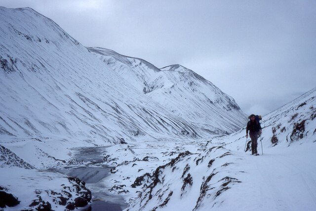
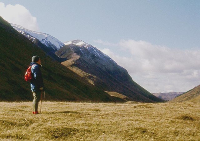
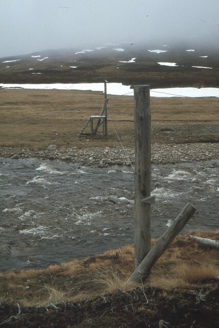
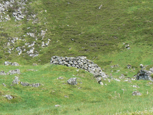
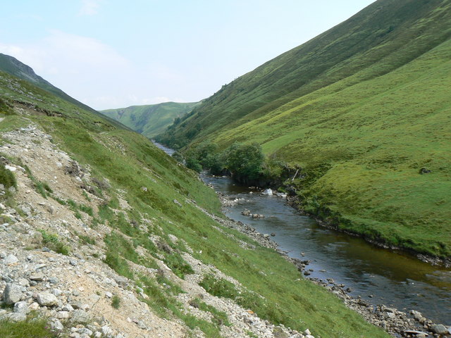
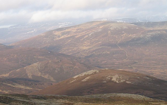
An Sligearnach Images
Images are sourced within 2km of 56.883531/-3.7214203 or Grid Reference NN9578. Thanks to Geograph Open Source API. All images are credited.


An Sligearnach is located at Grid Ref: NN9578 (Lat: 56.883531, Lng: -3.7214203)
Unitary Authority: Perth and Kinross
Police Authority: Tayside
What 3 Words
///overlaps.improving.ramming. Near Blair Atholl, Perth & Kinross
Nearby Locations
Related Wikis
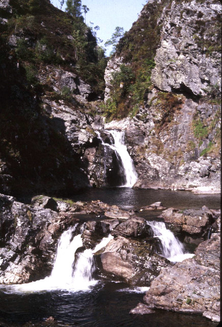
Falls of Tarf
The Falls of Tarf is a waterfall on the Tarf Water in the eastern Highlands of Scotland. Immediately downstream of the falls the Tarf is joined by a second...

Carn a' Chlamain
Càrn a' Chlamain (Gaelic: Càrn a' Chlamhain) is a Scottish mountain situated roughly 12 kilometres north of Blair Atholl in the Forest of Atholl. It is...

Loch Loch
Loch Loch is a remote freshwater loch, located in Glen Loch in Perth and Kinross, some 9.5 miles north of Pitlochry, Scotland and is within the Forest...
An Sgarsoch
An Sgarsoch (1,006.5m) is a mountain in the Grampian Mountains of Scotland. It lies north of Blair Atholl in a very remote part of the Highlands, on the...
Nearby Amenities
Located within 500m of 56.883531,-3.7214203Have you been to An Sligearnach?
Leave your review of An Sligearnach below (or comments, questions and feedback).