Foel y Ddinas
Hill, Mountain in Merionethshire
Wales
Foel y Ddinas

The requested URL returned error: 429 Too Many Requests
If you have any feedback on the listing, please let us know in the comments section below.
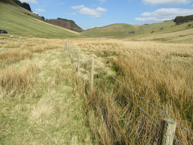
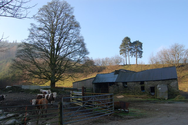
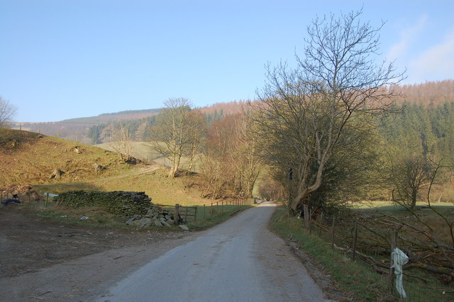
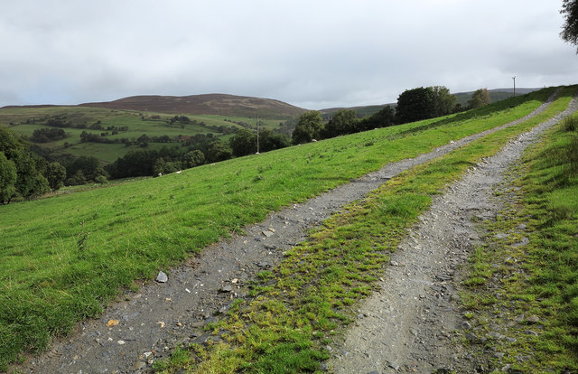
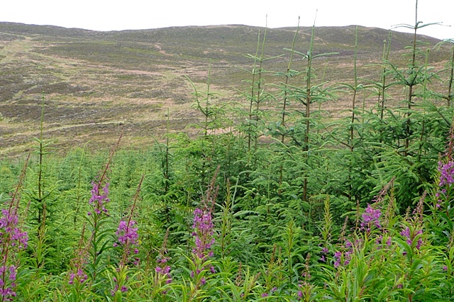
Foel y Ddinas Images
Images are sourced within 2km of 52.860978/-3.5578824 or Grid Reference SH9530. Thanks to Geograph Open Source API. All images are credited.


Foel y Ddinas is located at Grid Ref: SH9530 (Lat: 52.860978, Lng: -3.5578824)
Unitary Authority: Gwynedd
Police Authority: North Wales
What 3 Words
///ripples.walkway.waged. Near Bala, Gwynedd
Nearby Locations
Related Wikis

Foel Goch (Hirnant)
Foel Goch is a subsidiary summit of Esgeiriau Gwynion, and is included in a group of hills known as the Hirnantau. These hills rise from the south east...

Foel y Geifr
Foel y Geifr is a subsidiary summit of Esgeiriau Gwynion, and included in a group of hills known as the Hirnantau. These hills rise from the south east...
Rhiwaedog
Rhiwaedog is the name of an ancient estate in North Wales, located in the Penllyn forest near Bala, Gwynedd. It gives its name today to two hills, Rhiwaedog...

Meirionnydd Nant Conwy (UK Parliament constituency)
Meirionnydd Nant Conwy was a constituency represented in the House of Commons of the Parliament of the United Kingdom. It elected one Member of Parliament...
Nearby Amenities
Located within 500m of 52.860978,-3.5578824Have you been to Foel y Ddinas?
Leave your review of Foel y Ddinas below (or comments, questions and feedback).