Bryn Ceinon
Hill, Mountain in Brecknockshire
Wales
Bryn Ceinon

Bryn Ceinon is a prominent hill located in the county of Brecknockshire, Wales. It is situated in the southern part of the county, near the village of Talybont-on-Usk. With an elevation of approximately 488 meters (1,601 feet), it is classified as a hill rather than a mountain.
Bryn Ceinon offers breathtaking panoramic views of the surrounding countryside, including the Usk Valley and the Brecon Beacons National Park. Its location within the national park makes it a popular destination for hikers and nature enthusiasts.
The hill is covered with a diverse range of vegetation, including grasses, heather, and scattered patches of woodland. This varied landscape provides a habitat for several species of birds, mammals, and insects, making it an ideal spot for wildlife observation.
There are several walking trails and footpaths that crisscross Bryn Ceinon, allowing visitors to explore its beauty at their own pace. One of the most popular routes is the Talybont Reservoir circular walk, which passes by the hill and offers stunning views of the water and surrounding hills.
Bryn Ceinon also holds historical significance, as it is believed to have been an ancient burial ground. Excavations conducted in the area have uncovered traces of burial mounds and other archaeological remains, providing insights into the region's past.
Overall, Bryn Ceinon is a picturesque and culturally significant hill in Brecknockshire, offering visitors an opportunity to immerse themselves in the natural beauty and rich history of the area.
If you have any feedback on the listing, please let us know in the comments section below.
Bryn Ceinon Images
Images are sourced within 2km of 52.217156/-3.5356444 or Grid Reference SN9558. Thanks to Geograph Open Source API. All images are credited.


Bryn Ceinon is located at Grid Ref: SN9558 (Lat: 52.217156, Lng: -3.5356444)
Unitary Authority: Powys
Police Authority: Dyfed Powys
What 3 Words
///capacity.blackouts.lime. Near Llwyn-Madoc, Powys
Nearby Locations
Related Wikis
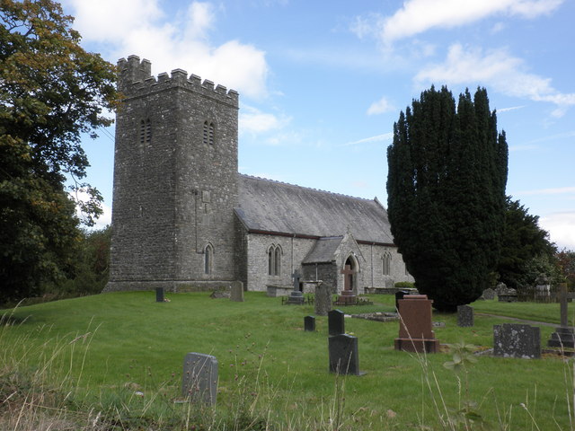
Llanafan Fawr
Llanafan Fawr is a village and community and ecclesiastical parish in Powys, Wales. Located in the former cantref of Buellt (Builth) and historic county...

Caeau Cnwch a Ty'n-y-graig
Caeau Cnwch a Ty'n-y-graig is a Site of Special Scientific Interest in Brecknock, Powys, Wales. It occupies sloping ground on the south west side of Pen...
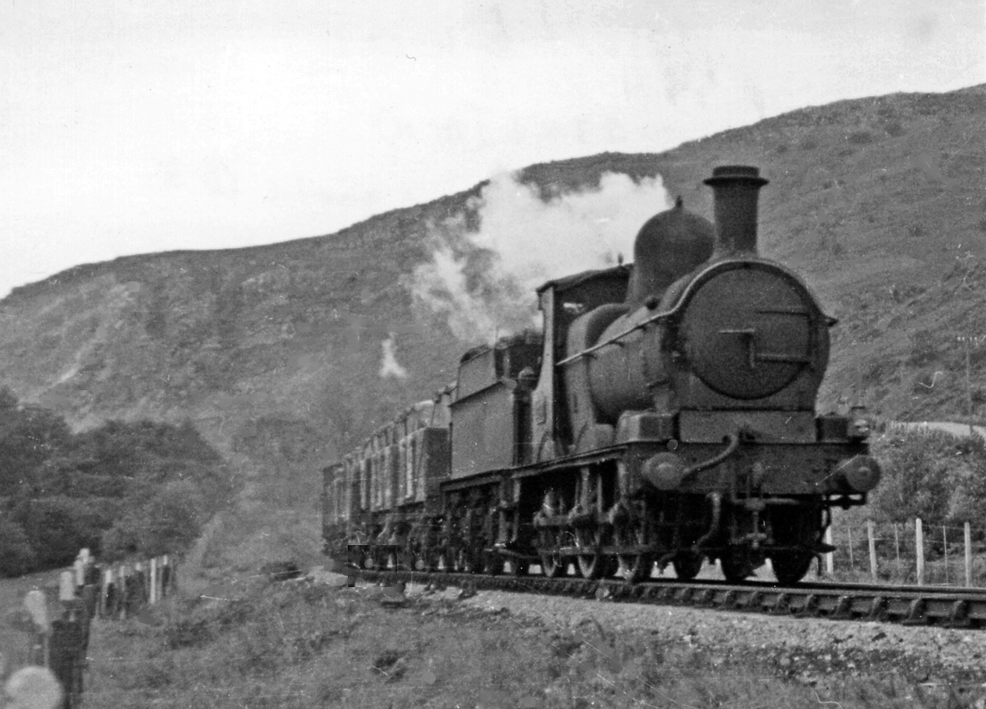
Doldowlod railway station
Doldowlod railway station stood on the Mid Wales Railway between Builth Wells and Rhayader. It was closed on 31 December 1962 and the track removed....
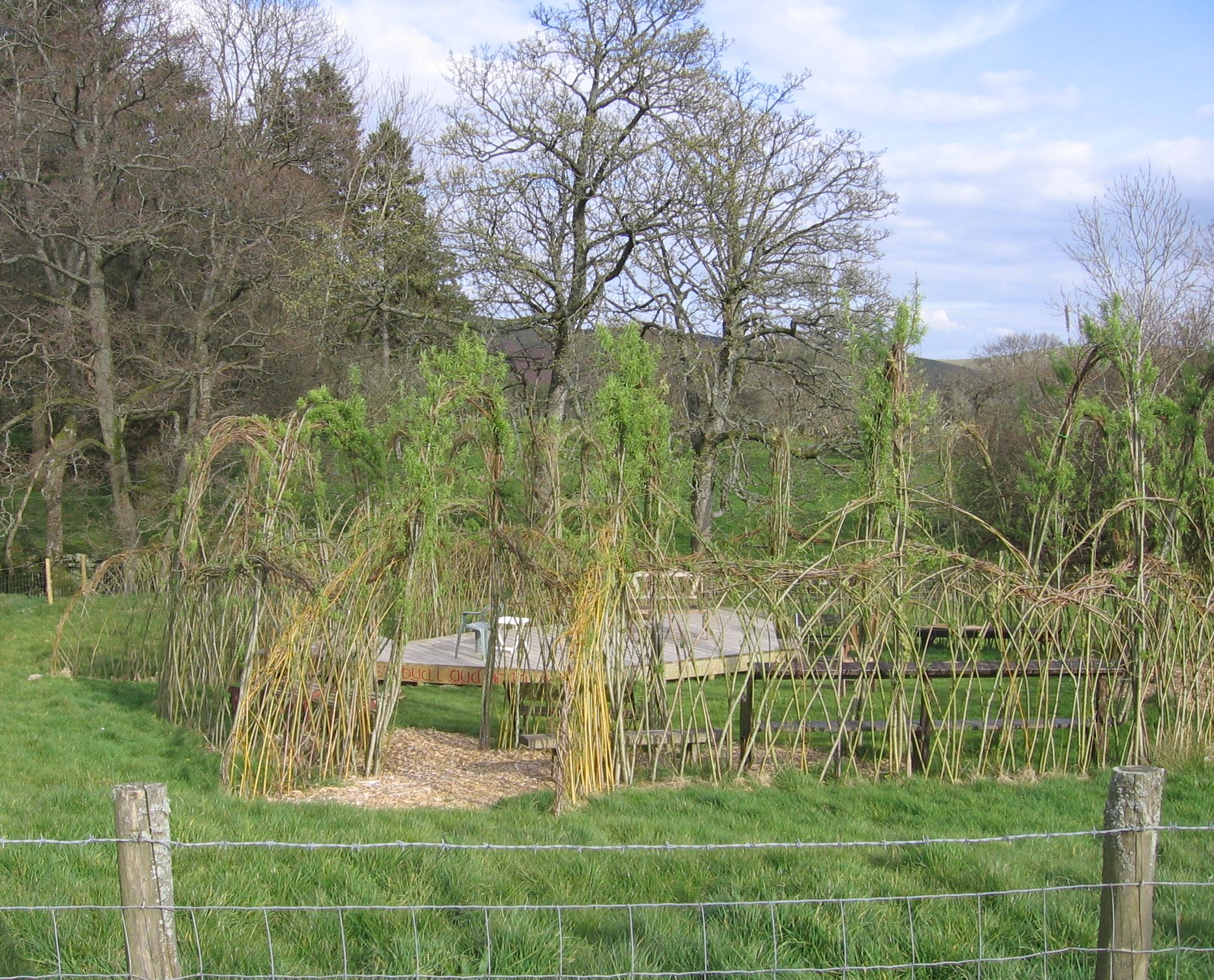
Willow Globe Theatre
The Willow Globe Theatre (Welsh: Glôb Byw, formerly known as the Living Willow Theatre) is an open air community theatre in Powys, Wales.It is a scaled...
Llysdinam
Llysdinam is a hamlet located in Powys, Wales, to the west and near to the town of Llandrindod Wells. == History == The Llysdinam estate and hamlet were...

River Ithon
The River Ithon (Welsh: Afon Ieithon) is a major left-bank tributary of the River Wye in Powys, mid Wales. It rises in the broad saddle between the western...
Carn Gafallt
Carn Gafallt is a Site of Special Scientific Interest in Breconshire, Powys, Wales, and a hill of 466 metres (1529 feet) which is a Marilyn. == See... ==
Argoed, Powys
Argoed is a small village in the community of Nantmel, Powys, Wales, which is 55 miles (88 km) from Cardiff and 152 miles (244 km) from London.The village...
Nearby Amenities
Located within 500m of 52.217156,-3.5356444Have you been to Bryn Ceinon?
Leave your review of Bryn Ceinon below (or comments, questions and feedback).