Auchenfad Hill

Hill, Mountain in Kirkcudbrightshire

Scotland

Auchenfad Hill

Whinneyhill Farm North of New Abbey
Whinneyhill Farm Credit: Eirian Evans

Auchenfad Hill is a prominent hill located in the region of Kirkcudbrightshire, in the southern part of Scotland. Situated near the village of Gatehouse of Fleet, this hill is part of the Galloway Hills range, which is known for its stunning natural beauty and diverse wildlife.

Standing at an elevation of approximately 1,184 feet (361 meters), Auchenfad Hill offers breathtaking panoramic views of the surrounding countryside. Its distinctive shape and prominent position make it a popular destination for hikers and outdoor enthusiasts seeking a challenging and rewarding climb.

The ascent to the summit of Auchenfad Hill can be approached from various directions, with well-maintained trails leading up the hillside. The terrain consists of heather-covered slopes and rocky outcrops, providing a unique and picturesque landscape for those venturing to the top. Along the way, hikers may encounter a variety of flora and fauna, including native Scottish wildlife such as red deer and golden eagles.

The summit of Auchenfad Hill offers an expansive vista, with views stretching out over the rolling hills and valleys of Kirkcudbrightshire. On clear days, it is even possible to catch a glimpse of the nearby Solway Firth and the distant peaks of the Lake District in England.

Overall, Auchenfad Hill is a remarkable natural feature that showcases the rugged beauty and rich biodiversity of the Galloway Hills. Its accessibility and stunning views make it a must-visit destination for outdoor enthusiasts and nature lovers alike.

If you have any feedback on the listing, please let us know in the comments section below.

Auchenfad Hill Images

Images are sourced within 2km of 55.011414/-3.6460403 or Grid Reference NX9469. Thanks to Geograph Open Source API. All images are credited.

Whinneyhill Farm North of New Abbey
Whinneyhill Farm
North of New Abbey
Lodge near the road to Mabie Forest
Clearfelling at Kirkconnel Flow An area of clearfelling at Kirkconnel Flow.
Clearfelling at Kirkconnel Flow
An area of clearfelling at Kirkconnel Flow.
A710 New Abbey Road
A710 New Abbey Road
Forestry road in Mabie Forest
A710 near Mabie
A710 near Mabie
Whinnyhill View Looking along the A710 at Whinnyhill on a bright mid-September morning.
Whinnyhill View
Looking along the A710 at Whinnyhill on a bright mid-September morning.
The River Nith from the air Woodcroft Farm and Kirkconnell Flow nature reserve <span class="nowrap"><a title="https://www.visitscotland.com/info/see-do/kirkconnell-flow-nature-reserve-p334051" rel="nofollow ugc noopener" href="https://www.visitscotland.com/info/see-do/kirkconnell-flow-nature-reserve-p334051">Link</a><img style="margin-left:2px;" alt="External link" title="External link - shift click to open in new window" src="https://s1.geograph.org.uk/img/external.png" width="10" height="10"/></span> are in the foreground.
The River Nith from the air
Woodcroft Farm and Kirkconnell Flow nature reserve LinkExternal link are in the foreground.
Rough grazing at Auchenfad Rough grazing at Auchenfad with Mabie Forest in the background.
Rough grazing at Auchenfad
Rough grazing at Auchenfad with Mabie Forest in the background.
Core path 5 at Mabie Forest Core path 5, which after quarter of a mile links up with the red route in Mabie Forest.
Core path 5 at Mabie Forest
Core path 5, which after quarter of a mile links up with the red route in Mabie Forest.
Track to Millhill Farm The track which leads to Millhill Farm.
Track to Millhill Farm
The track which leads to Millhill Farm.
Craigbill Small area of land still farmed in the forested area south of Dumfries.  Note the rounded granite stones in the dykes. This is rough wet country. The field was being used as a car park for orienteers, who like rough, wet, granite, forested places.
Craigbill
Small area of land still farmed in the forested area south of Dumfries. Note the rounded granite stones in the dykes. This is rough wet country. The field was being used as a car park for orienteers, who like rough, wet, granite, forested places.
Black Cycle Trail in Mabie Forest The platform in the background is approximately 2m above the ground.
Black Cycle Trail in Mabie Forest
The platform in the background is approximately 2m above the ground.
Minor road near Mabie Forest Scenic country road running through forest and farmland between the A711 and A710.
Minor road near Mabie Forest
Scenic country road running through forest and farmland between the A711 and A710.
Greeted by a cow at Woodcroft Farm
Bluebells near Woodcroft Farm
Cows in a Field Criffel in the background... on a cloudy day
Cows in a Field
Criffel in the background... on a cloudy day
Sheep on Whinny Hill
Show me another place!

Auchenfad Hill is located at Grid Ref: NX9469 (Lat: 55.011414, Lng: -3.6460403)

Unitary Authority: Dumfries and Galloway

Police Authority: Dumfries and Galloway

What 3 Words

///nursery.polka.taller. Near Dumfries, Dumfries & Galloway

Nearby Locations

Auchenfad Hill

Related Wikis

Mabie, Dumfries and Galloway

Mabie is a collection of mountain biking routes located in Dumfries and Galloway, southwest Scotland. The mountain bike routes are part of the 7Stanes...

Pict's Knowe

Pict's Knowe (grid reference NX 9538 7213) is a henge monument in the parish of Troqueer, Dumfries and Galloway. It is one of a small group of henge monuments...
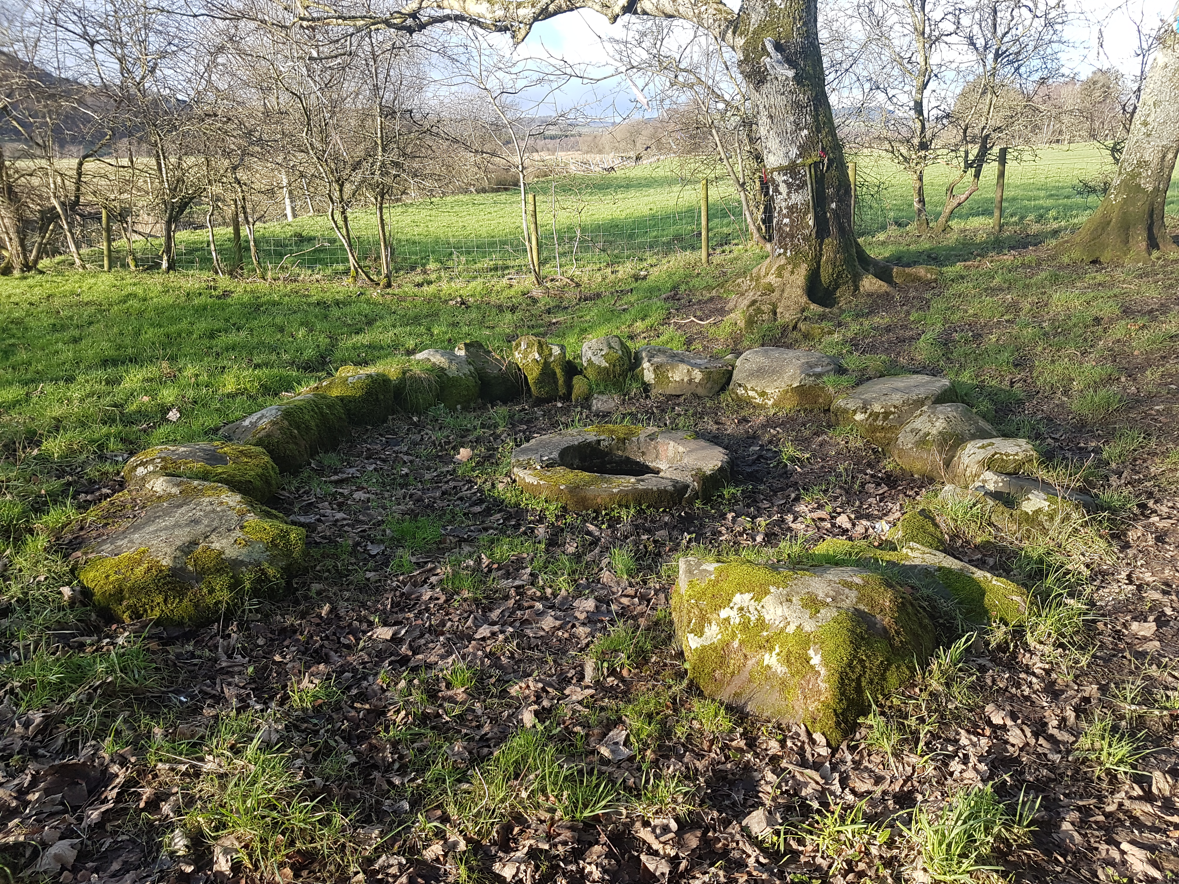
St Queran's Well

St Queran's Well is a holy well in Dumfries and Galloway, located in the parish of Troqueer in the historic county of Kirkcudbrightshire. A spring feeds...

Lochaber Loch

Lochaber Loch is a small, lowland freshwater loch that lies among steep-sided hills, approximately 4.5 mi (7.2 km) to the west of Dumfries, Scotland. The...

Nearby Amenities

Located within 500m of 55.011414,-3.6460403
Tourism: viewpoint
Lat/Long: 55.0113061/-3.6453163
Butterhole Hill
Ele: 215
Natural: peak
Source: NLS-OS-1st_Series
Lat/Long: 55.0128526/-3.6432795
Auchenfad Hill
Ele: 215
Natural: peak
Source: NLS-OS-1st_Series
Lat/Long: 55.0115478/-3.6460239
The data included in this document is from www.openstreetmap.org. The data is made available under ODbL.

Have you been to Auchenfad Hill?

Leave your review of Auchenfad Hill below (or comments, questions and feedback).