Crack Hill

Hill, Mountain in Glamorgan

Wales

Crack Hill

Ordnance Survey Rivet This OS rivet can be found on the stile at the entrance to Parcau Farm. It marks a point 38.347m above mean sea level.
Ordnance Survey Rivet Credit: Adrian Dust

The requested URL returned error: 429 Too Many Requests

If you have any feedback on the listing, please let us know in the comments section below.
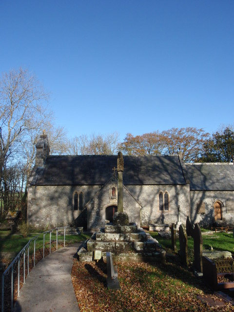
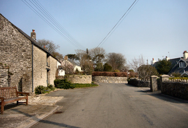
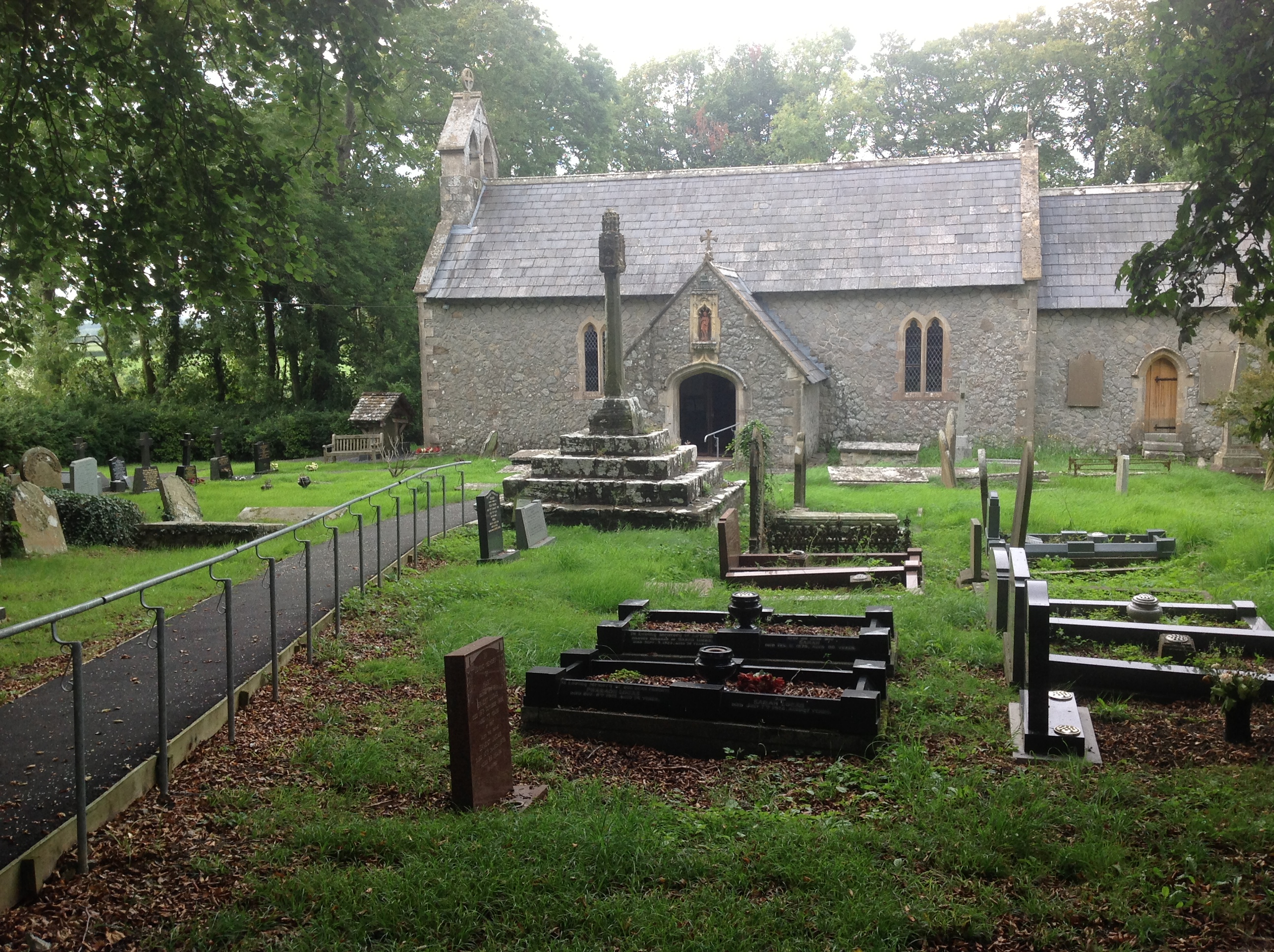
Crack Hill Images

Images are sourced within 2km of 51.477492/-3.515521 or Grid Reference SS9476. Thanks to Geograph Open Source API. All images are credited.

Ordnance Survey Rivet This OS rivet can be found on the stile at the entrance to Parcau Farm. It marks a point 38.347m above mean sea level.
Ordnance Survey Rivet
This OS rivet can be found on the stile at the entrance to Parcau Farm. It marks a point 38.347m above mean sea level.
Ordnance Survey Rivet This OS rivet can be found on the wall of No5 Twyn Yr Eglwys. It marks a point 59.747m above mean sea level.
Ordnance Survey Rivet
This OS rivet can be found on the wall of No5 Twyn Yr Eglwys. It marks a point 59.747m above mean sea level.
Ordnance Survey Cut Mark This OS cut mark can be found on the barn conversion at Heol Fawr. It marks a point 75.761m above mean sea level.
Ordnance Survey Cut Mark
This OS cut mark can be found on the barn conversion at Heol Fawr. It marks a point 75.761m above mean sea level.
Ordnance Survey Rivet This OS rivet can be found on the stile NE side of the road. It marks a point 78.946m above mean sea level.
Ordnance Survey Rivet
This OS rivet can be found on the stile NE side of the road. It marks a point 78.946m above mean sea level.
Chimney at former Llangan Lead Mine This chimney is all that is left of the Llangan Lead Mine which was active from 1855 to 1879. The site had been worked in the 18th century but was reopened to expolit a seam of lead and silver. The chimney stands solitary and somewhat incongruous in a private field in the glorious Vale of Glamorgan countryside but is a grade II listed structure.
Chimney at former Llangan Lead Mine
This chimney is all that is left of the Llangan Lead Mine which was active from 1855 to 1879. The site had been worked in the 18th century but was reopened to expolit a seam of lead and silver. The chimney stands solitary and somewhat incongruous in a private field in the glorious Vale of Glamorgan countryside but is a grade II listed structure.
St Michaels and All Angels, Colwinston The roots of this church are Norman with the nave, font and chancel arch dating from this period. The tower probably dates from the sixteenth century and was heightened in the late 17th or early 18th century. The windows largely date from the 16th century as well. There was a Victorian restoration and the church was re-roofed, redecorated and given the north vestry for the millennium.
The church is a grade 1 listed building.
St Michaels and All Angels, Colwinston
The roots of this church are Norman with the nave, font and chancel arch dating from this period. The tower probably dates from the sixteenth century and was heightened in the late 17th or early 18th century. The windows largely date from the 16th century as well. There was a Victorian restoration and the church was re-roofed, redecorated and given the north vestry for the millennium. The church is a grade 1 listed building.
Saron Welsh Congregationalist Chapel, Treoes This Chapel was built in 1841 on the site of a barn where the cause was established in 1831. A Gallery was added in 1861 and it was reroofed in 1986.
It is a Grade II Listed building.
Saron Welsh Congregationalist Chapel, Treoes
This Chapel was built in 1841 on the site of a barn where the cause was established in 1831. A Gallery was added in 1861 and it was reroofed in 1986. It is a Grade II Listed building.
Church of St Canna, Langan Probably 12th century in origin and plan, with the core walling possibly surviving in part, though very limited. Possibly 14th century rood stair and chancel arch. Some 16th century fabric may survive in the porch, but the church was externally almost completely rebuilt probably in 1856. The building has been unaltered since apart from the introduction of electricity.
Cadw listed as Grade II.
Church of St Canna, Langan
Probably 12th century in origin and plan, with the core walling possibly surviving in part, though very limited. Possibly 14th century rood stair and chancel arch. Some 16th century fabric may survive in the porch, but the church was externally almost completely rebuilt probably in 1856. The building has been unaltered since apart from the introduction of electricity. Cadw listed as Grade II.
Brocastle Brocastle, the lane from A48 to the residential home
Brocastle
Brocastle, the lane from A48 to the residential home
Brocastle Brocastle, the lane from the residential lane to A48
Brocastle
Brocastle, the lane from the residential lane to A48
A48 A48, view towards Crack Hill
A48
A48, view towards Crack Hill
Corntown Road/Crack Hill junction on A48
A48 looking east
A48 looking east
Pylon next to lane from Treoes
Lane at approach to Llangan
Road approaching Pentre Meyrick from the north
St Canna's Church Llangan
Memorial  at St Canna's Church Llangan
Memorial at St Canna's Church Llangan
Show me another place!

Crack Hill is located at Grid Ref: SS9476 (Lat: 51.477492, Lng: -3.515521)

Unitary Authority: The Vale of Glamorgan

Police Authority: South Wales

What 3 Words

///remotest.poppy.barn. Near Llangan, Vale of Glamorgan

Nearby Locations

Crack Hill

Related Wikis

Colwinston

Colwinston (historically sometimes Colwinstone; Welsh: Tregolwyn) is both a village and a community in the Vale of Glamorgan, Wales, approximately 4 miles...

Llandow (electoral ward)

Llandow (between 1995 and 2022 known as Llandow/Ewenny or Llandow and Ewenny), is the name of an electoral ward in the west of the Vale of Glamorgan, Wales...

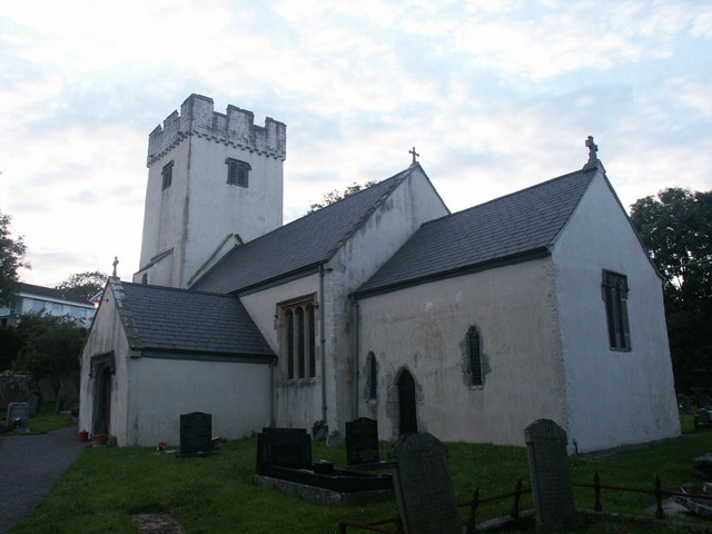
St Michael and All Angels Church, Colwinston

St Michael and All Angels Church is a Grade I listed church in Colwinston, in the Vale of Glamorgan, south Wales. It became a Grade I listed building on...

Llangan

Llangan (Welsh: Llanganna) is a small village and community in the Vale of Glamorgan, Wales. It is located approximately 4 miles (6.4 km) outside the market...

Nearby Amenities

Located within 500m of 51.477492,-3.515521
Direction: 235
Generator Method: photovoltaic
Generator Output Electricity: yes
Generator Solar Modules: 16
Generator Source: solar
Generator Type: solar_photovoltaic_panel
Location: roof
Power: generator
Lat/Long: 51.4811931/-3.5184849
Direction: 235
Generator Method: photovoltaic
Generator Output Electricity: yes
Generator Solar Modules: 8
Generator Source: solar
Generator Type: solar_photovoltaic_panel
Location: roof
Power: generator
Lat/Long: 51.4812789/-3.5186703
Direction: 235
Generator Method: photovoltaic
Generator Output Electricity: yes
Generator Solar Modules: 8
Generator Source: solar
Generator Type: solar_photovoltaic_panel
Location: roof
Power: generator
Lat/Long: 51.4813236/-3.5187136
Bus Stop
Bench: yes
Shelter: yes
Lat/Long: 51.4787624/-3.5219464
Bus Stop
Bench: yes
Shelter: yes
Lat/Long: 51.4787431/-3.5209944
The data included in this document is from www.openstreetmap.org. The data is made available under ODbL.

Have you been to Crack Hill?

Leave your review of Crack Hill below (or comments, questions and feedback).