Pyne's Hill
Hill, Mountain in Devon Exeter
England
Pyne's Hill

Pyne's Hill is a prominent geographical feature located in Devon, England. It is considered a hill rather than a mountain, as it reaches an elevation of approximately 244 meters (800 feet). The hill is situated near the town of Exeter and can be easily accessed by road or on foot.
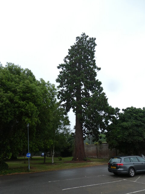
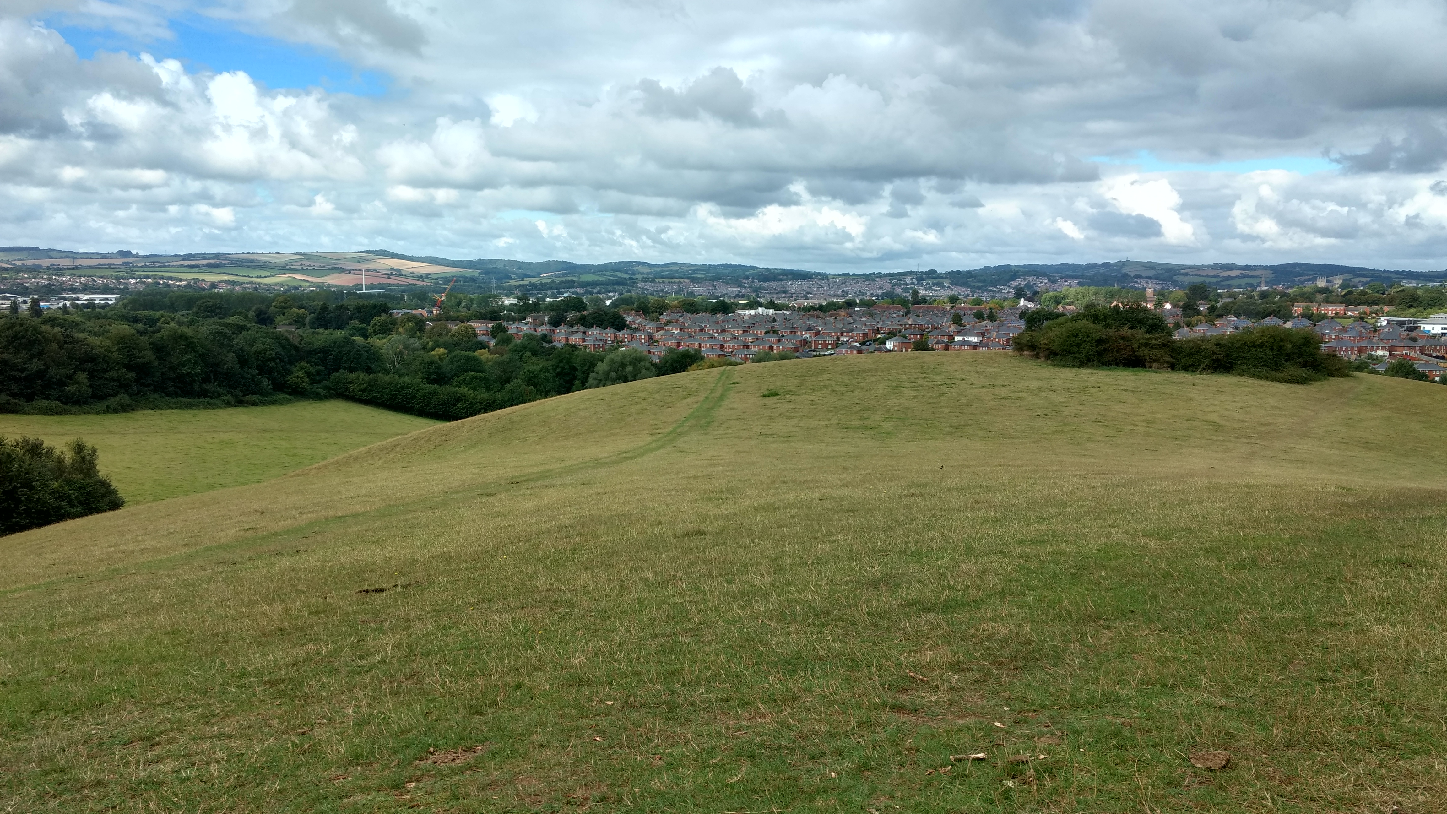
Pyne's Hill is known for its picturesque views of the surrounding countryside and offers a serene escape for nature enthusiasts. The hill is covered in lush green vegetation, including grasses, shrubs, and trees, creating a soothing and tranquil atmosphere. Its slopes are gentle, making it accessible for walkers of all abilities.
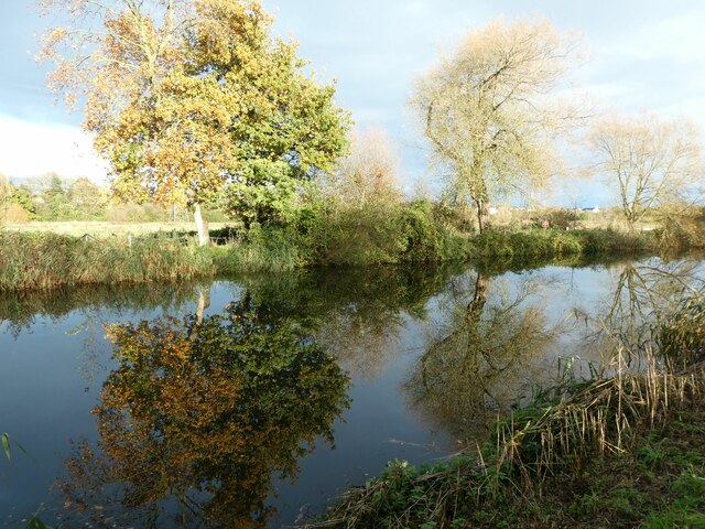
At the top of Pyne's Hill, visitors can enjoy panoramic vistas of the Devonshire landscape, including the River Exe and the city of Exeter. On clear days, it is possible to see as far as the Exe Estuary and the rolling hills of Dartmoor National Park in the distance.
The hill is a popular spot for outdoor activities such as hiking, picnicking, and photography. There are well-defined footpaths that lead to the summit, making it easy to navigate. Additionally, there are several benches strategically placed along the way for visitors to rest and take in the stunning views.
Pyne's Hill is not only a natural haven but also holds historical significance. It is believed to have been used as an Iron Age hillfort in ancient times, and remnants of earthworks can still be seen in certain areas.
Overall, Pyne's Hill is a remarkable and accessible destination that offers breathtaking views, recreational opportunities, and a glimpse into the region's past.
If you have any feedback on the listing, please let us know in the comments section below.
Pyne's Hill Images
Images are sourced within 2km of 50.709214/-3.4911149 or Grid Reference SX9491. Thanks to Geograph Open Source API. All images are credited.


Pyne's Hill is located at Grid Ref: SX9491 (Lat: 50.709214, Lng: -3.4911149)
Administrative County: Devon
District: Exeter
Police Authority: Devon and Cornwall
What 3 Words
///herds.lively.forum. Near Heavitree, Devon
Nearby Locations
Related Wikis
Ludwell Valley Park
Ludwell Valley Park is wildlife-focused public park in Exeter, Devon, United Kingdom. The park is owned by Exeter City Council and managed by Devon Wildlife...

Digby Hospital
Digby Hospital was a mental health facility in Digby, Devon, England. == History == The site was previously occupied by Digby Farm. The hospital, which...
Digby, Devon
Digby was a hamlet on the eastern edge of the city of Exeter in Devon, England, located by Clyst Heath. Between 1886 and 1987 it was the location of Exeter...
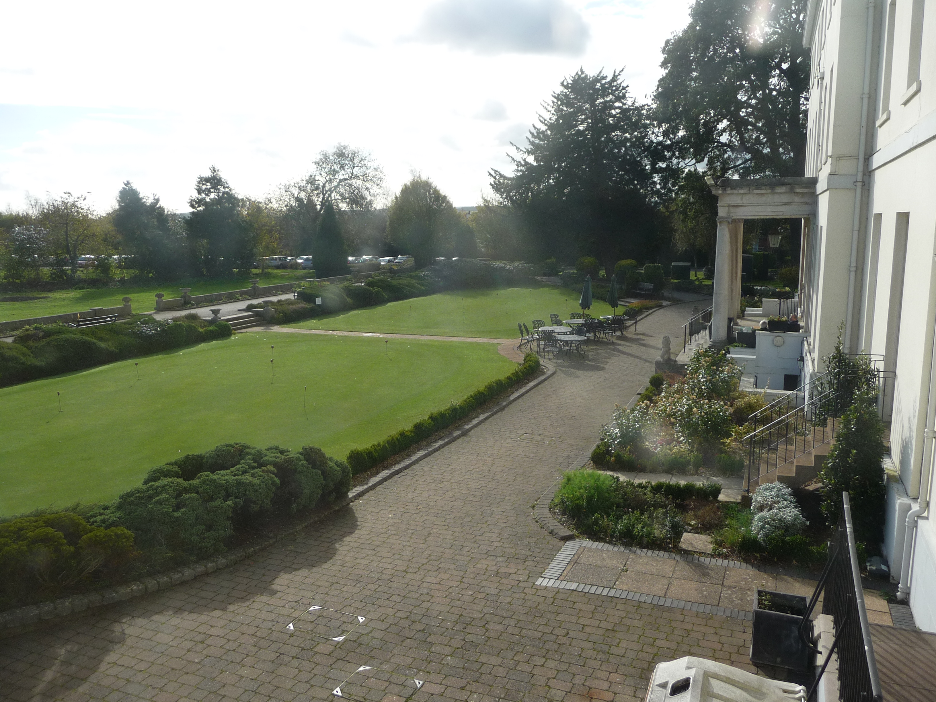
Exeter Golf and Country Club
Exeter Golf and Country Club offers golf, rackets, gym and swimming memberships, as well as an onsite restaurant and spa facilities. It can also be hired...
Nearby Amenities
Located within 500m of 50.709214,-3.4911149Have you been to Pyne's Hill?
Leave your review of Pyne's Hill below (or comments, questions and feedback).