Scarsoch Bheag

Hill, Mountain in Aberdeenshire

Scotland

Scarsoch Bheag

Stony and thinly vegetated summit area of An Sgarsoch The summit area of An Sgarsoch with Carn an Fhidhlier in the distance. The walker sheltering in the cairn had just made the traverse between the two mountains.
Stony and thinly vegetated summit area of An Sgarsoch Credit: Trevor Littlewood

The requested URL returned error: 429 Too Many Requests

If you have any feedback on the listing, please let us know in the comments section below.

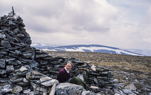
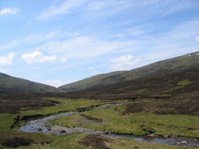
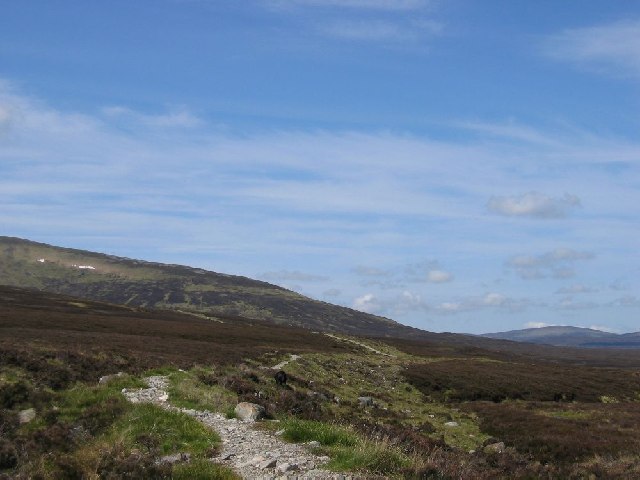
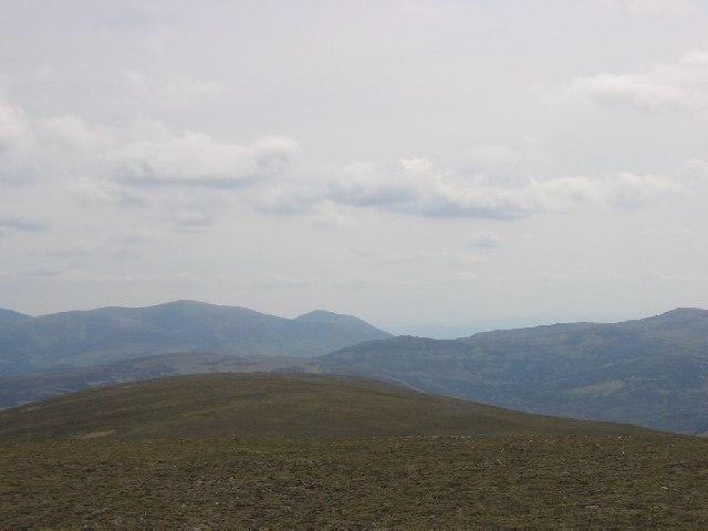
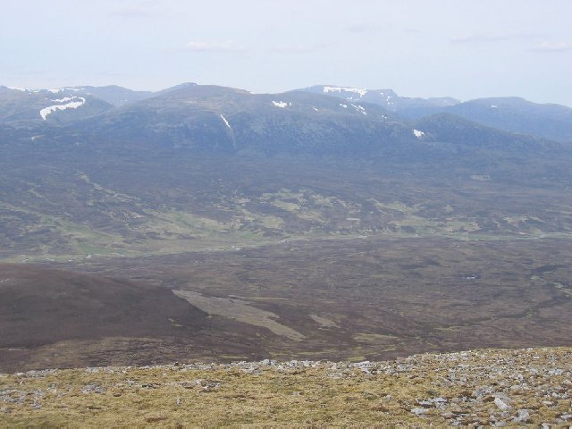
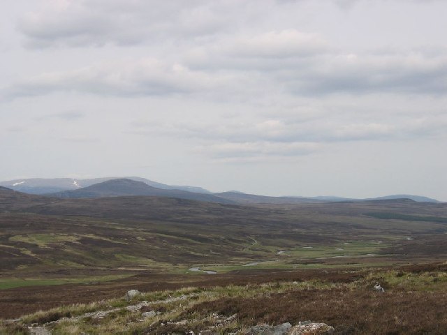
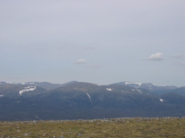
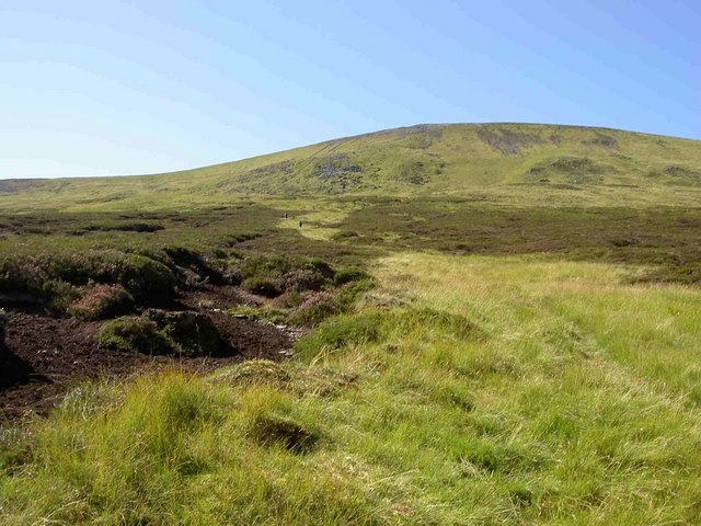
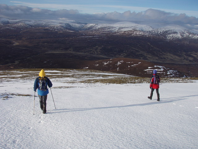
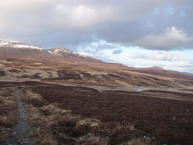
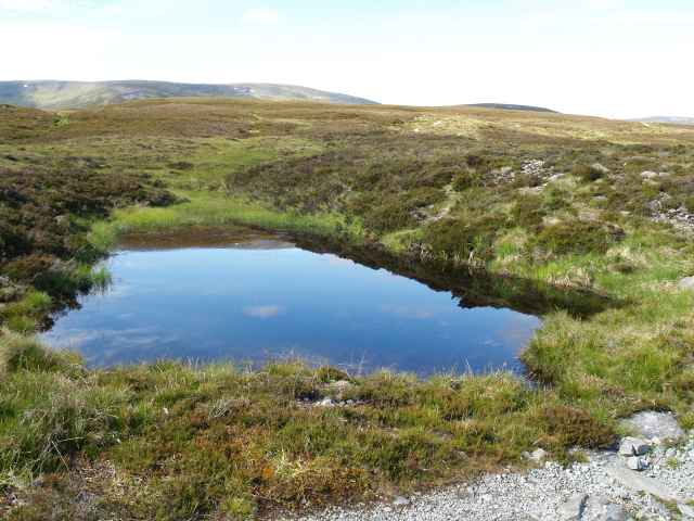
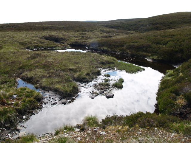
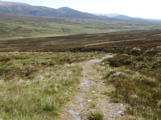
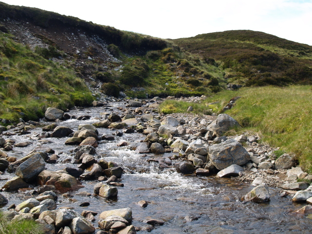
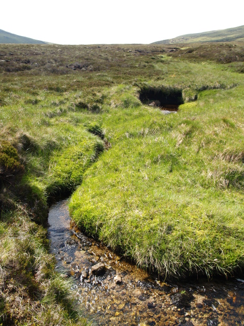
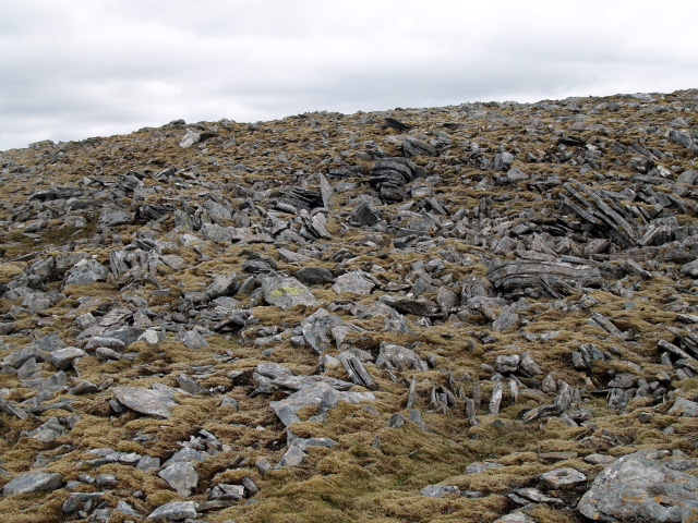
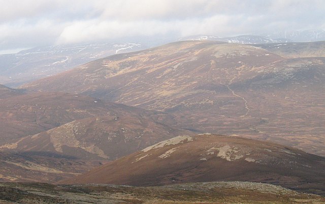
Scarsoch Bheag Images

Images are sourced within 2km of 56.946396/-3.7533346 or Grid Reference NN9385. Thanks to Geograph Open Source API. All images are credited.

Stony and thinly vegetated summit area of An Sgarsoch The summit area of An Sgarsoch with Carn an Fhidhlier in the distance. The walker sheltering in the cairn had just made the traverse between the two mountains.
Stony and thinly vegetated summit area of An Sgarsoch
The summit area of An Sgarsoch with Carn an Fhidhlier in the distance. The walker sheltering in the cairn had just made the traverse between the two mountains.
Looking south into Coirre Chaorainn
Heading west
Heading west
Southern ridge of An Sgarsoch
Leaving An Sgarsoch Looking north
Leaving An Sgarsoch
Looking north
Looking down the Geldie Heading East
Looking down the Geldie
Heading East
Cairngorms from the summit of An Sgarsoch
The Gentle Slopes of Carn Ealar
heading north from An Sgarsoch back to pick up the stalkers' path to Geldie Lodge
heading north from An Sgarsoch
back to pick up the stalkers' path to Geldie Lodge
the stalkers' path to Geldie Lodge on the way back to the bikes at Geldie Lodge on 7th March 2007 - little snow
the stalkers' path to Geldie Lodge
on the way back to the bikes at Geldie Lodge on 7th March 2007 - little snow
An Sgarsoch View across the Tarf towards An Sgarsoch, a notoriously remote hill. At 1006m asl it is dwarfed by Braigh Riabhach and Carn an t-Sabhail beyond.
An Sgarsoch
View across the Tarf towards An Sgarsoch, a notoriously remote hill. At 1006m asl it is dwarfed by Braigh Riabhach and Carn an t-Sabhail beyond.
Cloud sea from Sgarsoch Beag ridge. A temperature inversion with the tops of the Cairngorms across Glen Dee. Taken from the ridge leading to Sgarsoch Beag after camping on it.
Cloud sea from Sgarsoch Beag ridge.
A temperature inversion with the tops of the Cairngorms across Glen Dee. Taken from the ridge leading to Sgarsoch Beag after camping on it.
Bogpool near Geldie Lodge Just off the good track heading W towards Card an Fhidhleir.
Bogpool near Geldie Lodge
Just off the good track heading W towards Card an Fhidhleir.
Bogpool near Geldie Lodge track
Stalkers' path Looking towards the direction of Geldie Lodge.
Stalkers' path
Looking towards the direction of Geldie Lodge.
Allt a' Chaoraine
Allt a' Chaoraine
Unnamed burn, Carn an Fhidhleir
Boulder field below summit, An Sgarsoch
Show me another place!

Scarsoch Bheag is located at Grid Ref: NN9385 (Lat: 56.946396, Lng: -3.7533346)

Unitary Authority: Aberdeenshire

Police Authority: North East

What 3 Words

///uptake.sediment.seashell. Near Inverey, Aberdeenshire

Nearby Locations

Scarsoch Bheag

Related Wikis

An Sgarsoch

An Sgarsoch (1,006.5m) is a mountain in the Grampian Mountains of Scotland. It lies north of Blair Atholl in a very remote part of the Highlands, on the...

Carn an Fhidhleir

Carn an Fhidhleir (994 m) is a mountain in the Grampian Mountains of Scotland. It lies on the border of Inverness-shire, Perthshire and Aberdeenshire,...

Falls of Dee

Falls of Dee is a waterfall on Braeriach in the Cairngorms, Scotland. == See also == Waterfalls of Scotland == References ==

Loch Tilt

Loch Tilt is a small mountain freshwater loch that sits at the end of Glen Tilt and is located in north-east Perth and Kinross, Scotland. Loch Tilt has...

Nearby Amenities

Located within 500m of 56.946396,-3.7533346
Scarsoch Bheag
Ele: 774
Natural: peak
Wikidata: Q20577811
Lat/Long: 56.946145/-3.7533699
The data included in this document is from www.openstreetmap.org. The data is made available under ODbL.

Have you been to Scarsoch Bheag?

Leave your review of Scarsoch Bheag below (or comments, questions and feedback).