Fence Hill

Hill, Mountain in Kirkcudbrightshire

Scotland

Fence Hill

Waterloo Monument The Waterloo Monument New Abbey, on a dull morning.
Waterloo Monument Credit: Rab McMurdo

The requested URL returned error: 429 Too Many Requests

If you have any feedback on the listing, please let us know in the comments section below.
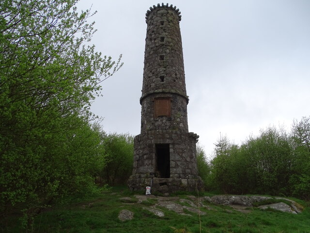
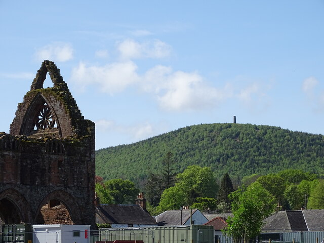
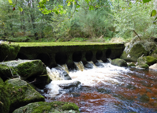
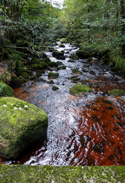
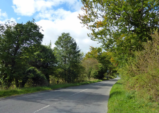
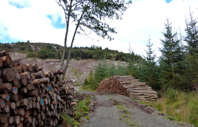
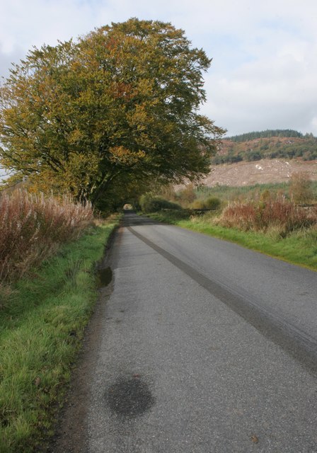
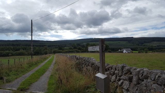
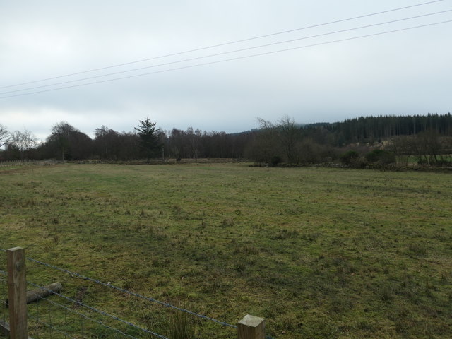
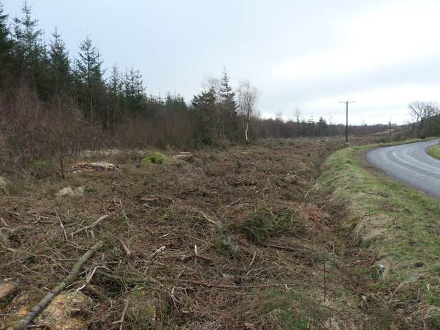
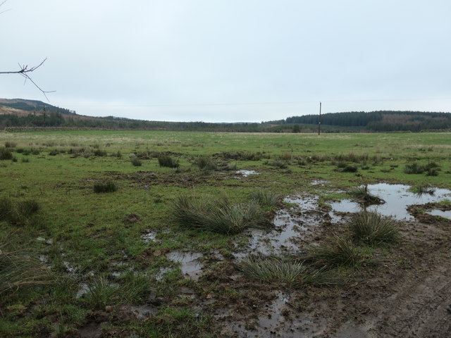
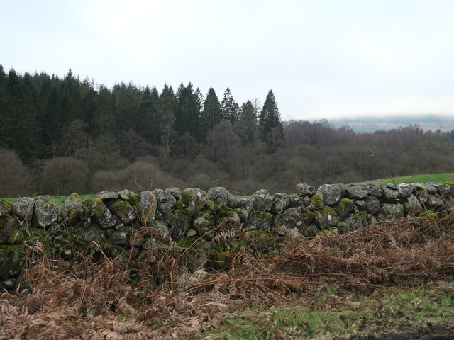
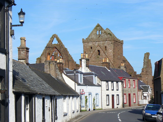
Fence Hill Images

Images are sourced within 2km of 54.972951/-3.6662616 or Grid Reference NX9365. Thanks to Geograph Open Source API. All images are credited.

Waterloo Monument The Waterloo Monument New Abbey, on a dull morning.
Waterloo Monument
The Waterloo Monument New Abbey, on a dull morning.
The Waterloo Memorial A view of the Waterloo Memorial from New Abbey graveyard.
The Waterloo Memorial
A view of the Waterloo Memorial from New Abbey graveyard.
Crossing New Abbey Pow This substantial ford-bridge takes a rough track across the river.
Crossing New Abbey Pow
This substantial ford-bridge takes a rough track across the river.
New Abbey Pow An upstream view of this small river near New Abbey.
New Abbey Pow
An upstream view of this small river near New Abbey.
This Way to Beeswing The minor road between New Abbey and Beeswing, viewed in mid-September with the trees just beginning to show some autumn colour.
This Way to Beeswing
The minor road between New Abbey and Beeswing, viewed in mid-September with the trees just beginning to show some autumn colour.
Timber Operations in Auchengray Forest This view compares well with <a href="https://www.geograph.org.uk/photo/3194340">NX9367 : A track into the Auchengray Plantation</a> taken in 2012.
Timber Operations in Auchengray Forest
This view compares well with NX9367 : A track into the Auchengray Plantation taken in 2012.
New Abbey to Beeswing road
Field beside the New Abbey to Beeswing road In the distance is Auchengray Hill. Part of the plantation covering the middle slopes of the hill have been felled recently.
Field beside the New Abbey to Beeswing road
In the distance is Auchengray Hill. Part of the plantation covering the middle slopes of the hill have been felled recently.
Track to Riddlebank The private track to Riddlebank cottage.
Track to Riddlebank
The private track to Riddlebank cottage.
Old Milestone by Barlay Wood, New Abbey Parish By the UC road, in parish of New Abbey (Nithsdale District), Barlay, just East of track to house.

Inscription reads:- : New Abbey / 1¾ : : Killywhan / 4 :

Surveyed

Milestone Society National ID: DG_NABW02
Old Milestone by Barlay Wood, New Abbey Parish
By the UC road, in parish of New Abbey (Nithsdale District), Barlay, just East of track to house. Inscription reads:- : New Abbey / 1¾ : : Killywhan / 4 : Surveyed Milestone Society National ID: DG_NABW02
Old Milestone near Riddlebank, New Abbey parish Milestone by the UC road, in parish of New Abbey (Nithsdale District), Riddlebank, just East of, and opposite track to house.

Inscription once read:-
: (Killywhan / 3) : : (New Abbey / 2¾) :   

Surveyed

Milestone Society National ID: DG_NABW03
Old Milestone near Riddlebank, New Abbey parish
Milestone by the UC road, in parish of New Abbey (Nithsdale District), Riddlebank, just East of, and opposite track to house. Inscription once read:- : (Killywhan / 3) : : (New Abbey / 2¾) : Surveyed Milestone Society National ID: DG_NABW03
Forestry track into Auchengray plantation Skirting Auchengray Hill.
Forestry track into Auchengray plantation
Skirting Auchengray Hill.
The road to Beeswing at Auchengray Hill Heading west at a 65 metre spot height.
The road to Beeswing at Auchengray Hill
Heading west at a 65 metre spot height.
The route of Glensone Burn Marked by the patchy hedge.
The route of Glensone Burn
Marked by the patchy hedge.
Pasture alongside Glensone Burn On the south side of the road between New Abbey and Beeswing.
Pasture alongside Glensone Burn
On the south side of the road between New Abbey and Beeswing.
Felled woodland, Auchengray plantation On the north side of the road between New Abbey and Beeswing, on the southern edge of the plantation.
Felled woodland, Auchengray plantation
On the north side of the road between New Abbey and Beeswing, on the southern edge of the plantation.
Farmland west of Barlay About 70 metres above sea level.
Farmland west of Barlay
About 70 metres above sea level.
The northern perimeter of Kinharvie plantation Managed by Forestry Commission Scotland. On the south side of Glensone Burn.
The northern perimeter of Kinharvie plantation
Managed by Forestry Commission Scotland. On the south side of Glensone Burn.
Show me another place!

Fence Hill is located at Grid Ref: NX9365 (Lat: 54.972951, Lng: -3.6662616)

Unitary Authority: Dumfries and Galloway

Police Authority: Dumfries and Galloway

What 3 Words

///fixtures.shrub.ventures. Near Dalbeattie, Dumfries & Galloway

Related Wikis

National Museum of Costume

The National Museum of Costume was located at Shambellie House, in New Abbey, Dumfries and Galloway, Scotland and it formed part of the National Museums...

New Abbey

New Abbey (Scottish Gaelic: An Abaid Ùr) is a village in the historical county of Kirkcudbrightshire in Dumfries and Galloway, Scotland. It is 6 miles...

Sweetheart Abbey

The Abbey of Dulce Cor, better known as Sweetheart Abbey (Gaelic: An Abaid Ur), was a Cistercian monastery founded in 1275 in what is now the village of...

Abbey Vale F.C.

Abbey Vale Football Club are a football club based in the village of New Abbey in the historical county of Kirkcudbright shire in the Dumfries and Galloway...

Have you been to Fence Hill?

Leave your review of Fence Hill below (or comments, questions and feedback).