Cnoc Coire na Feàrna
Hill, Mountain in Caithness
Scotland
Cnoc Coire na Feàrna
Cnoc Coire na Feàrna is a prominent hill located in the county of Caithness, in the northernmost part of mainland Scotland. Situated in the remote and rugged landscape of the Scottish Highlands, this hill is a notable landmark in the region.
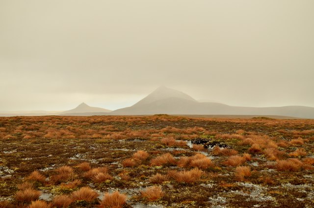
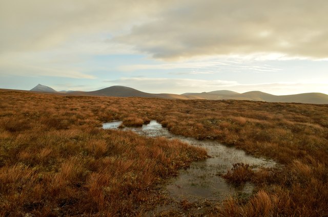
With an elevation reaching approximately 453 meters (1,487 feet), Cnoc Coire na Feàrna offers stunning panoramic views of the surrounding countryside. The hill is characterized by its distinct conical shape, making it easily identifiable from afar.
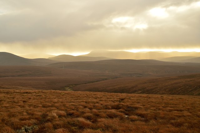
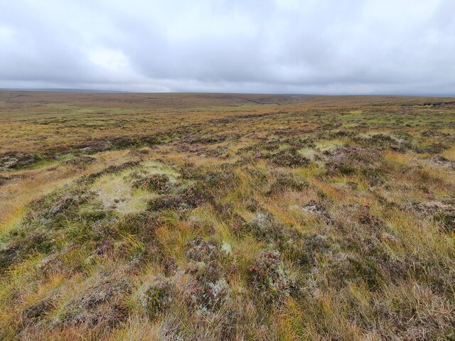
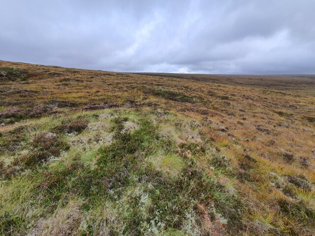
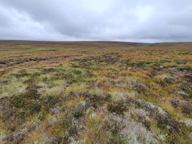
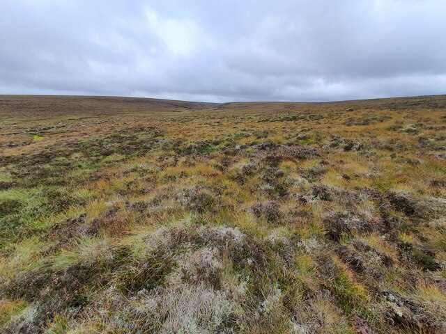
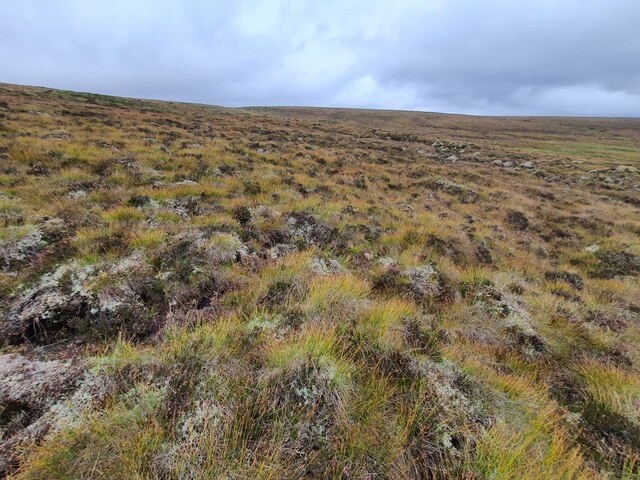
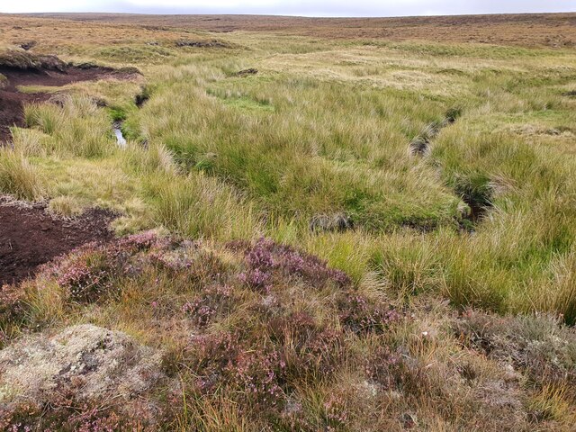
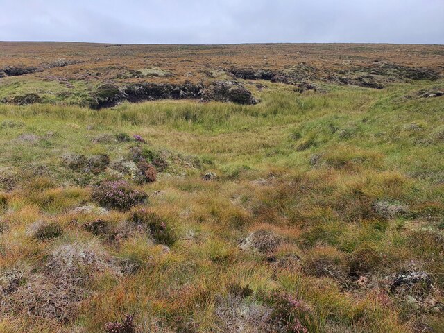
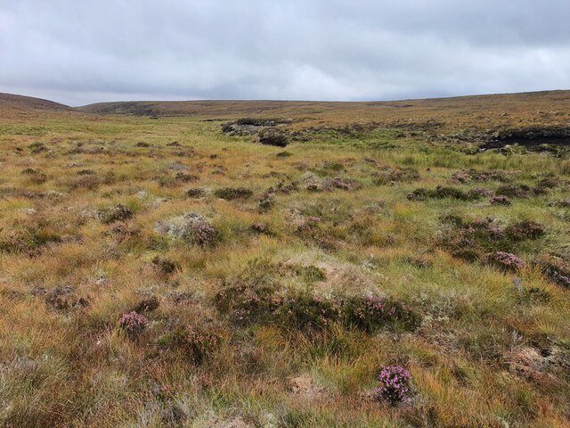
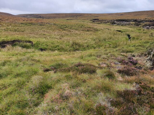
The terrain surrounding Cnoc Coire na Feàrna is diverse and varied, featuring heather-covered moorland, scattered patches of woodland, and rocky outcrops. The hill is also home to a diverse range of flora and fauna, including various species of birds, mammals, and wildflowers.
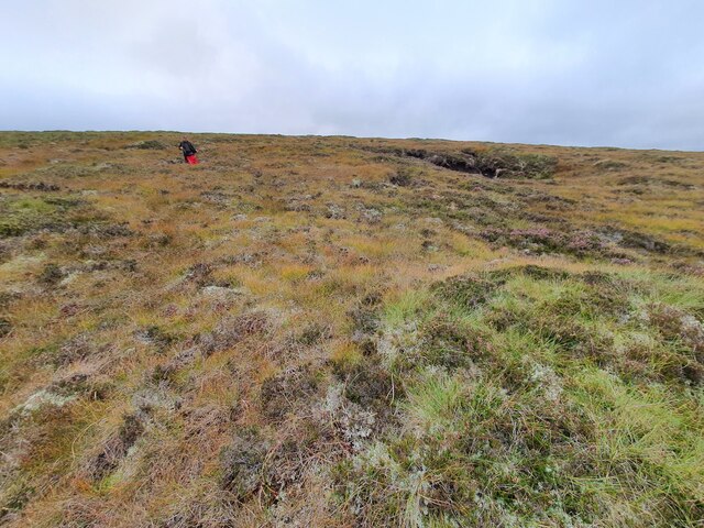
For outdoor enthusiasts, Cnoc Coire na Feàrna provides an ideal location for hiking and hillwalking. There are several trails and paths that lead to the summit, offering a range of difficulty levels for different skill levels. The climb to the top of the hill can be challenging but rewarding, with breathtaking views awaiting those who reach the summit.
Cnoc Coire na Feàrna is not only a natural landmark but also holds cultural significance. It is steeped in local folklore and legends, adding to its mystique and charm. Whether for its natural beauty, recreational opportunities, or cultural significance, Cnoc Coire na Feàrna is a must-visit destination for those exploring the enchanting landscapes of Caithness.
If you have any feedback on the listing, please let us know in the comments section below.
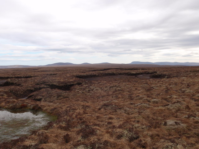
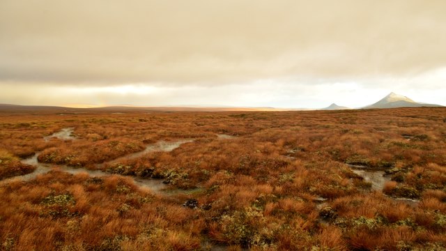
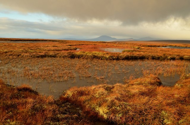
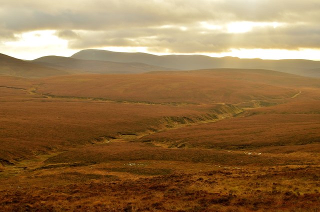
Cnoc Coire na Feàrna Images
Images are sourced within 2km of 58.244346/-3.8169558 or Grid Reference NC9329. Thanks to Geograph Open Source API. All images are credited.

Cnoc Coire na Feàrna is located at Grid Ref: NC9329 (Lat: 58.244346, Lng: -3.8169558)
Unitary Authority: Highland
Police Authority: Highlands and Islands
What 3 Words
///cotton.moss.zoos. Near Kinbrace, Highland
Nearby Locations
Related Wikis

Caithness, Sutherland and Easter Ross (UK Parliament constituency)
Caithness, Sutherland and Easter Ross is a constituency of the House of Commons of the Parliament of the United Kingdom (Westminster). It is the most northerly...

Morven, Caithness
Morven (Scottish Gaelic: A' Mhòr Bheinn) is a mountain in Sutherland, in the Highland Region of Scotland. The mountain is classed as a Graham and, at 706...

Achentoul
Achentoul (Scottish Gaelic: Achadh an t-Sabhail; translation: "field of the barn") is a hamlet in the Kinbrace area of Sutherland, in the Scottish council...

Kinbrace railway station
Kinbrace railway station is a railway station serving the village of Kinbrace in the Highland council area in the north of Scotland. It is located on the...

Kinbrace
Kinbrace is a small village in Sutherland in the Highland council area of Scotland. It lies at the junction of the A897 and B871 and is 17 miles (27 km...
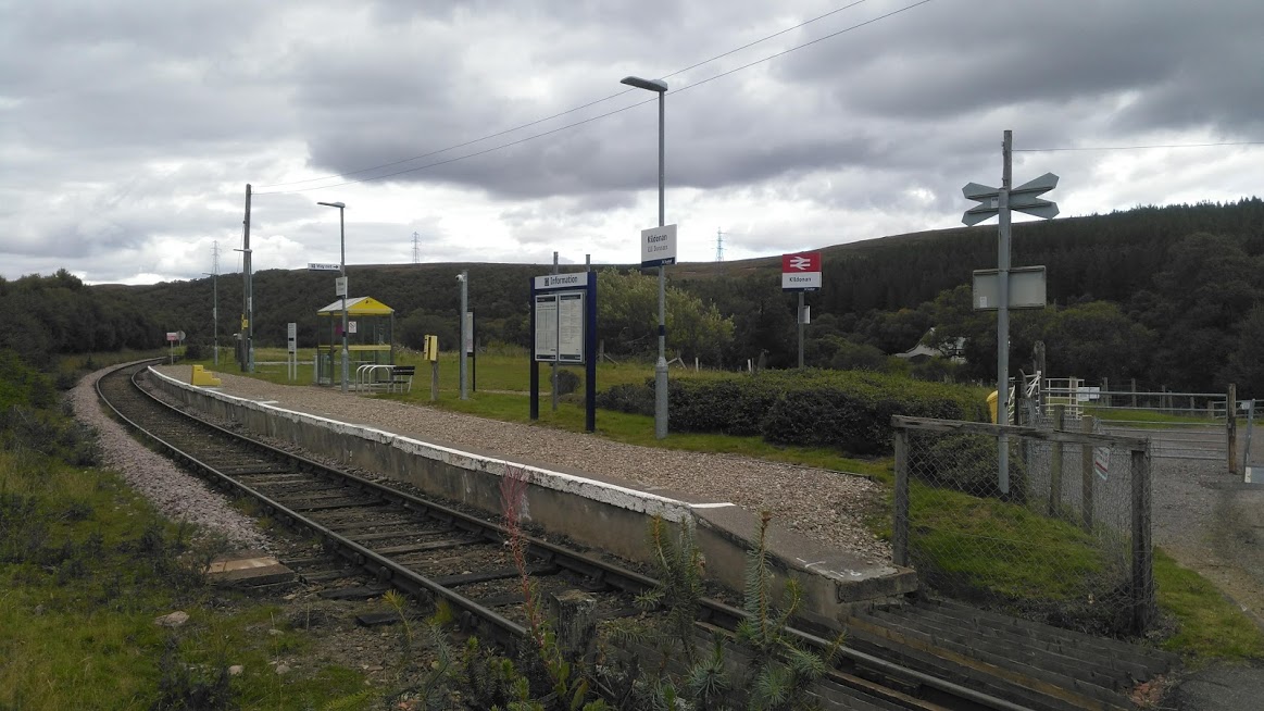
Kildonan railway station
Kildonan railway station ( kil-DON-ən) is a railway station near Kildonan Lodge in the Highland council area in the north of Scotland. It is located on...

A897 road
The A897 single track road is entirely within the Highland council area of Scotland. It runs generally north from the A9 at Helmsdale to the A836 near...
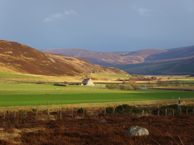
Strath of Kildonan
Strath of Kildonan, also known as Strath Ullie, (Scottish Gaelic: Srath Ilidh), is a strath in Sutherland, in the north of Scotland. It extends in a north...
Nearby Amenities
Located within 500m of 58.244346,-3.8169558Have you been to Cnoc Coire na Feàrna?
Leave your review of Cnoc Coire na Feàrna below (or comments, questions and feedback).