Fanfed

Hill, Mountain in Brecknockshire

Wales

Fanfed

Moelydd summit  Rounded, bald hills (moelydd) dominate the edge of the moorland. This summit hardly looks like one when viewed against the nearby peak of Gelli Faenog.
Moelydd summit Credit: Jonathan Wilkins

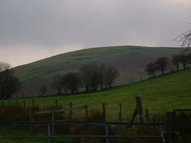
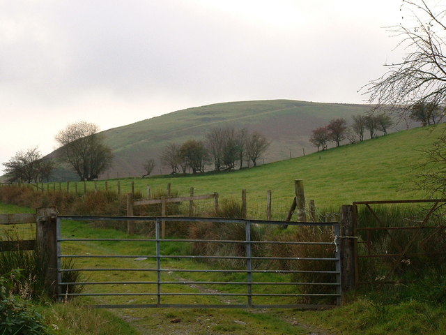
Fanfed is a prominent hill/mountain located in the historic county of Brecknockshire, Wales. Rising to an elevation of around 516 meters (1,693 feet), it forms part of the Brecon Beacons National Park. The mountain is situated approximately 8 kilometers northeast of the town of Brecon.

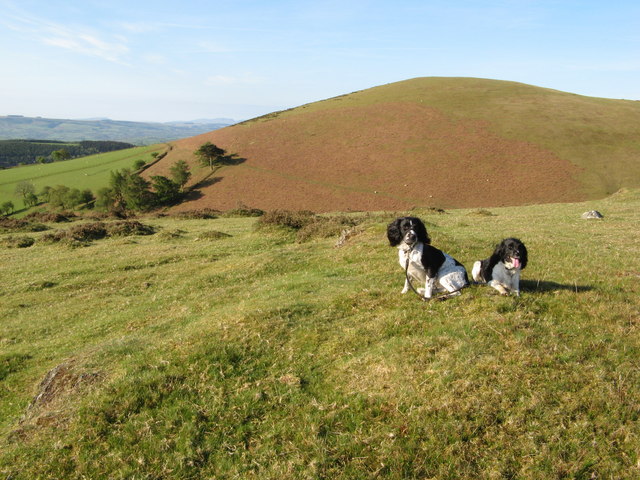
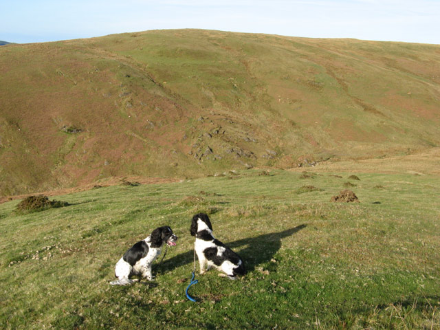
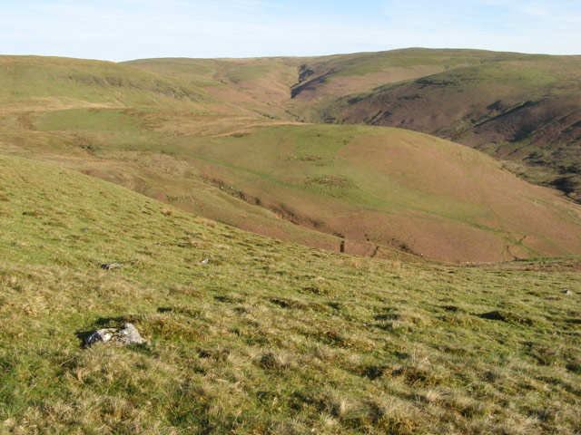
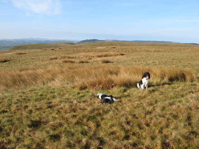
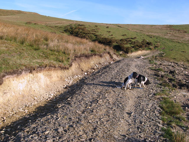
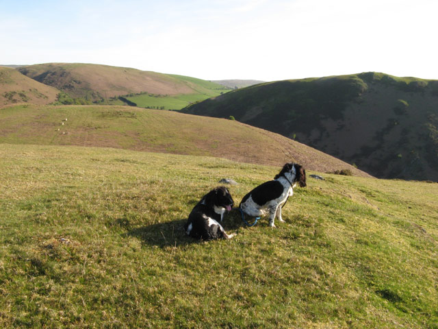
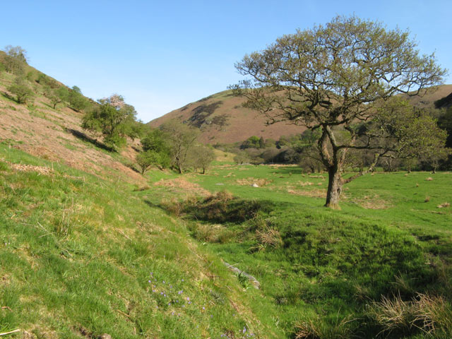
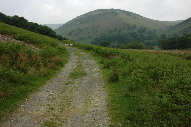
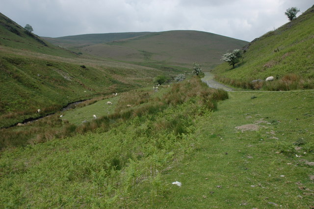
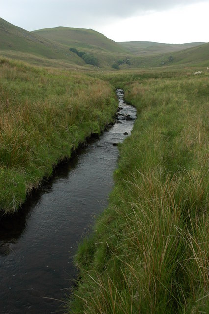
Fanfed is characterized by its distinctive conical shape and is a popular destination for outdoor enthusiasts, hikers, and nature lovers. Its slopes are adorned with a variety of vegetation, including heather, grasses, and scattered shrubs, providing a picturesque landscape that changes with the seasons. The summit offers breathtaking panoramic views of the surrounding countryside, including the nearby peaks of Pen y Fan and Corn Du.

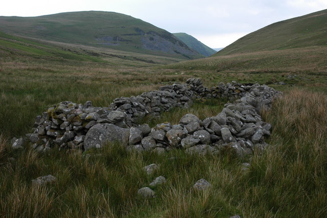
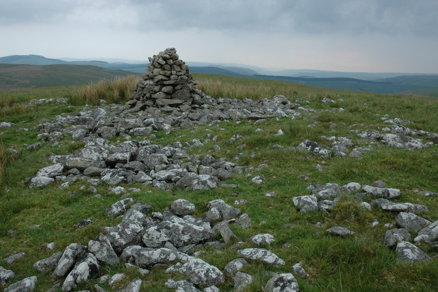
The hill/mountain is accessible via a network of footpaths and trails, catering to a range of abilities. One of the most popular routes to reach the summit starts from the village of Libanus, following a well-marked path that winds its way up through the hillside. Along the way, visitors can appreciate the diverse flora and fauna, as well as the presence of ancient cairns and stone walls, which add to the area's historical and cultural significance.

Fanfed is also renowned for its rich birdlife, with species such as red kites, buzzards, and peregrine falcons frequently spotted soaring above its slopes. Additionally, the mountain provides a habitat for various small mammals, including rabbits, voles, and shrews.

Overall, Fanfed in Brecknockshire offers a captivating natural experience, combining stunning vistas, diverse ecosystems, and a wealth of recreational opportunities for those who venture to its summit.

If you have any feedback on the listing, please let us know in the comments section below.
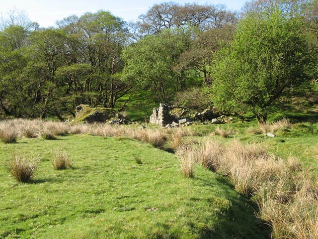
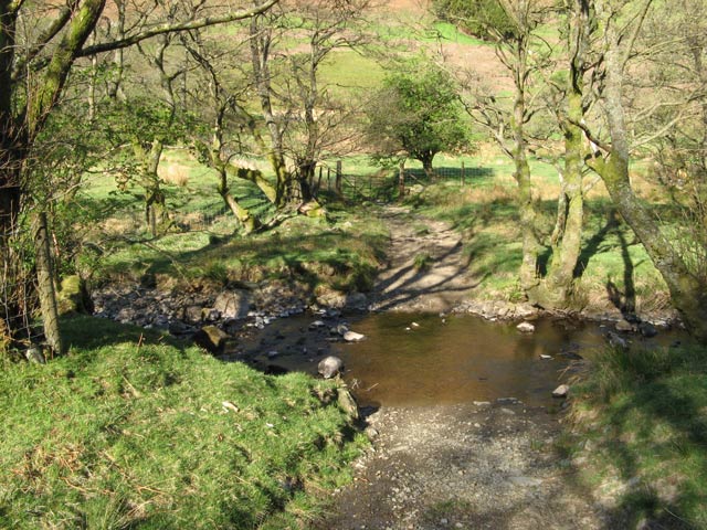
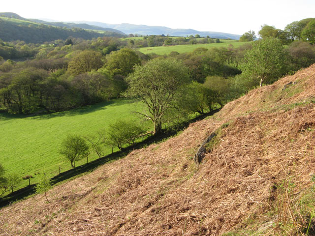
Fanfed Images

Images are sourced within 2km of 52.191208/-3.5818434 or Grid Reference SN9155. Thanks to Geograph Open Source API. All images are credited.

Moelydd summit  Rounded, bald hills (moelydd) dominate the edge of the moorland. This summit hardly looks like one when viewed against the nearby peak of Gelli Faenog.
Moelydd summit
Rounded, bald hills (moelydd) dominate the edge of the moorland. This summit hardly looks like one when viewed against the nearby peak of Gelli Faenog.
Cwm Gwnfel Looking down from the shoulder of the hill into Cwm Gwnfel, a very quiet and desolate place with an intriguing rock outcrop pattern, possibly folded strata or a landslip.
Cwm Gwnfel
Looking down from the shoulder of the hill into Cwm Gwnfel, a very quiet and desolate place with an intriguing rock outcrop pattern, possibly folded strata or a landslip.
Lan Goch Looking over the narrow tributary valleys to Lan Goch, a rounded plateau jutting out above Cwm Dulas.
Lan Goch
Looking over the narrow tributary valleys to Lan Goch, a rounded plateau jutting out above Cwm Dulas.
Rushy summit The top of the ridge shown as Banc Du on the map. Flatter, poorly-drained land is being claimed by rushes.
Rushy summit
The top of the ridge shown as Banc Du on the map. Flatter, poorly-drained land is being claimed by rushes.
Track cutting Considerable effort has been expended in improving the informal track which must cross a small stream here. Rushes on the bank suggest that this was also a very wet and boggy area.
Track cutting
Considerable effort has been expended in improving the informal track which must cross a small stream here. Rushes on the bank suggest that this was also a very wet and boggy area.
View from the summit Deep shadow in Cwm Dulas accentuates the curious, billowy nature of the terrain here.
View from the summit
Deep shadow in Cwm Dulas accentuates the curious, billowy nature of the terrain here.
New timber footbridge It's good to see that the crossings of the Dulas are so well maintained. This one is very new.
New timber footbridge
It's good to see that the crossings of the Dulas are so well maintained. This one is very new.
Cwm Dulas Looking up the level floor of this lovely valley towards Allt y Dinas.
Cwm Dulas
Looking up the level floor of this lovely valley towards Allt y Dinas.
Ruined farm A poignant reminder of how closely people lived to the land in past times.
Ruined farm
A poignant reminder of how closely people lived to the land in past times.
Ford on the Dulas The crossing of the Dulas for farm traffic or livestock.
Ford on the Dulas
The crossing of the Dulas for farm traffic or livestock.
Edge of the hill pasture Improved grassland on the lower fields makes a sharp contrast with the bracken-infested slope of the hill pasture above the valley of the Dulas. The bridleway runs along the boundary wall on its way to Ty'n y clyn where it rejoins the road.
Edge of the hill pasture
Improved grassland on the lower fields makes a sharp contrast with the bracken-infested slope of the hill pasture above the valley of the Dulas. The bridleway runs along the boundary wall on its way to Ty'n y clyn where it rejoins the road.
Wennallt
Wennallt
Wennallt
Wennallt
Bridleway to Cwmdulas Bridleway to a farm in Cwmdulas, the hill in the background is Allt y Ddinas, the summit of which is 448m above sea level.
Bridleway to Cwmdulas
Bridleway to a farm in Cwmdulas, the hill in the background is Allt y Ddinas, the summit of which is 448m above sea level.
Cwmdulas The track into this cwm used to give access to an old mine.
Cwmdulas
The track into this cwm used to give access to an old mine.
Cwmdulas The upper reaches of Cwmdulas, in the middle distance trees mark where two tributaries of Dulas tumble over a series of waterfalls.
Cwmdulas
The upper reaches of Cwmdulas, in the middle distance trees mark where two tributaries of Dulas tumble over a series of waterfalls.
Sheepfold in Cwmdulas Small sheepfold in Cwmdulas.
Sheepfold in Cwmdulas
Small sheepfold in Cwmdulas.
Cairn on Darren This cairn is situated to the east of the highest point on Darren.
Cairn on Darren
This cairn is situated to the east of the highest point on Darren.
Show me another place!

Fanfed is located at Grid Ref: SN9155 (Lat: 52.191208, Lng: -3.5818434)

Unitary Authority: Powys

Police Authority: Dyfed Powys

What 3 Words

///having.hardback.civic. Near Llwyn-Madoc, Powys

Nearby Locations

Fanfed Maen-cam

Related Wikis

Beulah, Powys

Beulah is a village in southern Powys, Wales, in the community of Treflys, lying on the Afon Cammarch. The village sits astride the main A483 road about...

Llanafan Fawr

Llanafan Fawr is a village and community and ecclesiastical parish in Powys, Wales. Located in the former cantref of Buellt (Builth) and historic county...

Treflys

Treflys is a community in the county of Powys, Wales, and is 49.9 miles (80.4 km) from Cardiff and 154.4 miles (248.5 km) from London. In 2011 the population...

Garth Bank Quarry

Garth Bank Quarry is a Site of Special Scientific Interest in Brecknock, Powys, Wales. The Countryside Council for Wales describes the significance of...

Have you been to Fanfed?

Leave your review of Fanfed below (or comments, questions and feedback).