Foel Cae'r-hafotty
Hill, Mountain in Merionethshire
Wales
Foel Cae'r-hafotty
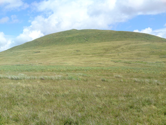
Foel Cae'r-hafotty is a prominent hill/mountain located in the county of Merionethshire, Wales. Situated in the southern part of Snowdonia National Park, it forms part of the stunning landscape of the region. Standing at an elevation of approximately 1,650 feet (500 meters), it offers breathtaking panoramic views of the surrounding countryside.
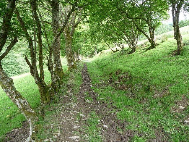
The hill/mountain is characterized by its rugged and rocky terrain, covered in patches of heather and grass. Its slopes are relatively steep, providing a moderate challenge for hikers and climbers. A well-defined footpath leads to the summit, making it accessible to outdoor enthusiasts of varying abilities.
The summit of Foel Cae'r-hafotty provides an excellent vantage point, offering uninterrupted vistas of the nearby peaks and valleys. On clear days, it is possible to see as far as the coastline, providing a truly awe-inspiring sight. The hill/mountain also offers opportunities for birdwatching, with various species of birds, including raptors, often spotted in the area.
The surrounding area of Foel Cae'r-hafotty is rich in natural beauty and wildlife. It is home to a diverse range of flora and fauna, including rare and protected species. The hill/mountain is also a popular spot for picnic-goers and nature enthusiasts, who can enjoy the peaceful surroundings and observe the local wildlife.
Overall, Foel Cae'r-hafotty offers visitors a chance to immerse themselves in the natural wonders of Snowdonia National Park. With its magnificent views, challenging terrain, and abundant wildlife, it is a must-visit destination for anyone seeking an unforgettable outdoor experience.
If you have any feedback on the listing, please let us know in the comments section below.
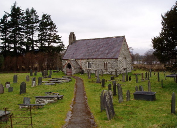
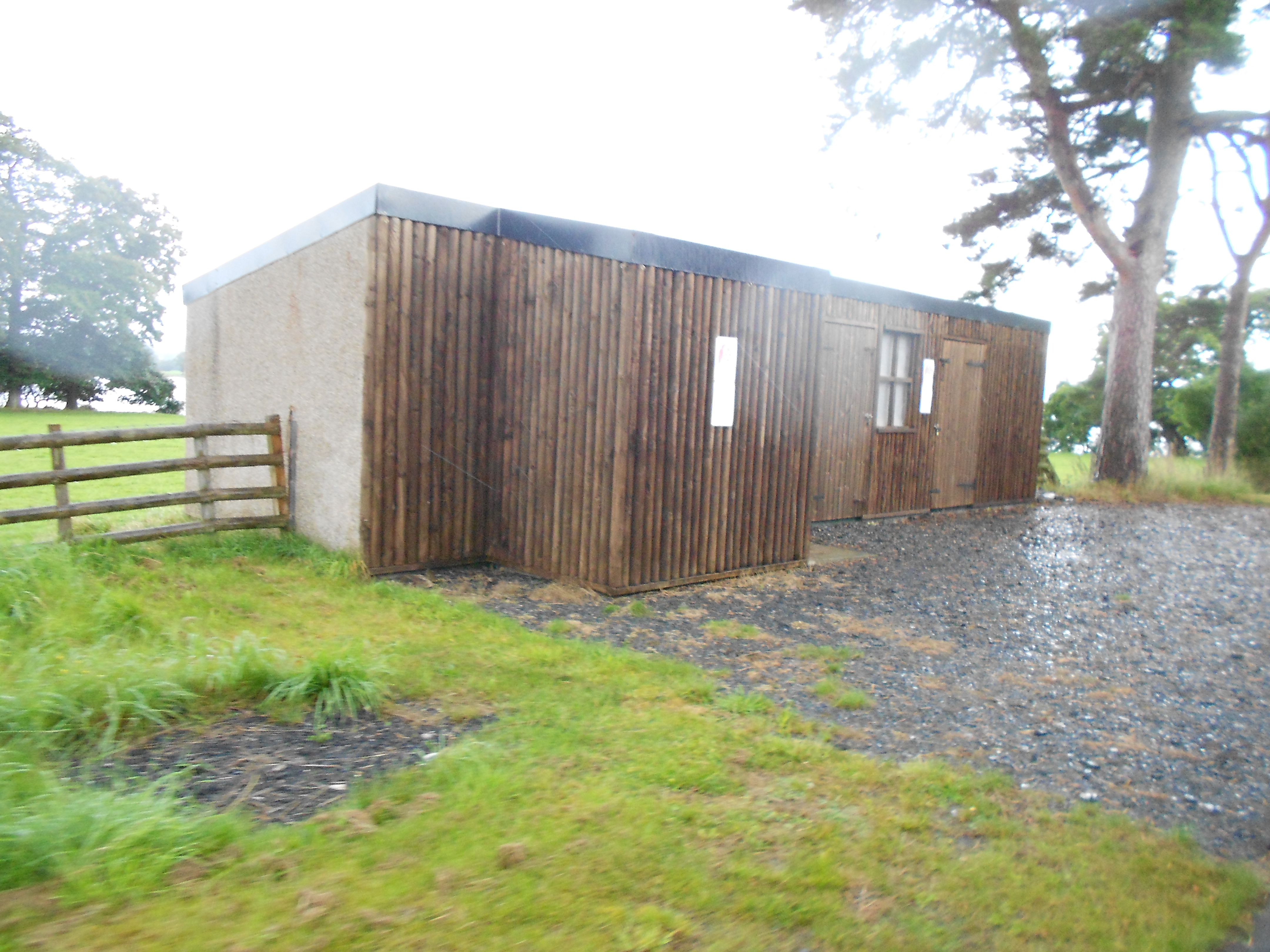
Foel Cae'r-hafotty Images
Images are sourced within 2km of 52.859843/-3.6060128 or Grid Reference SH9130. Thanks to Geograph Open Source API. All images are credited.


Foel Cae'r-hafotty is located at Grid Ref: SH9130 (Lat: 52.859843, Lng: -3.6060128)
Unitary Authority: Gwynedd
Police Authority: North Wales
What 3 Words
///oblige.cocoons.timidly. Near Llanuwchllyn, Gwynedd
Nearby Locations
Related Wikis

Meirionnydd Nant Conwy (UK Parliament constituency)
Meirionnydd Nant Conwy was a constituency represented in the House of Commons of the Parliament of the United Kingdom. It elected one Member of Parliament...
Llangywer
Llangywer (or Llangower) is a community near Bala, Gwynedd, Wales. It is in the historic county of Merionethshire, and is located on the south side of...

Llangower railway station
Llangower was a minor station opened by the GWR on the Ruabon to Barmouth line in 1929 on the southern shore of Bala Lake serving the hamlet of Llangower...
Glan Llyn Halt railway station
Glan Llyn Halt in Gwynedd, Wales, was a railway halt on the Ruabon to Barmouth line on the south shore of Bala Lake, and is a limited-use station on the...
Related Videos

Beautiful Countryside & Relaxing Music | 4K Aerial Views, Bala Wales | Scenic Exploration
1 hour of Beautiful Countryside & Relaxing Music with 4K Aerial Views of Llangywer in Bala, Wales from Scenic Exploration.
A Grand Reach Down to Llangower, Sailing Under Jib and Heaving to Under Jib and Mizzen
A great day out and perfect for my first day back sailing after my torn back ligament healing. The wind was great, the sun was ...
Nearby Amenities
Located within 500m of 52.859843,-3.6060128Have you been to Foel Cae'r-hafotty?
Leave your review of Foel Cae'r-hafotty below (or comments, questions and feedback).