Craig Dod
Hill, Mountain in Lanarkshire
Scotland
Craig Dod

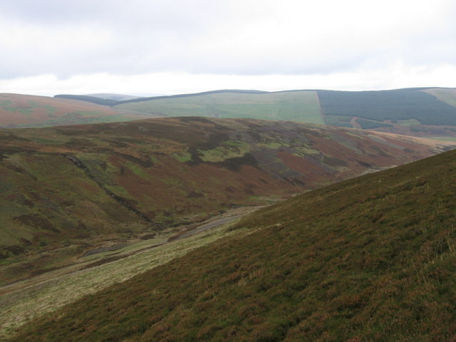
Craig Dod is a prominent hill located in the picturesque region of Lanarkshire, Scotland. It is situated amidst the breath-taking landscapes of the Scottish Highlands, offering visitors an opportunity to immerse themselves in the natural beauty of the area. With its impressive height, reaching approximately 1,218 feet (372 meters), Craig Dod stands as a significant landmark in the region.
The hill is characterized by its rugged terrain, featuring a combination of steep slopes and rocky outcrops. This makes it a popular destination for outdoor enthusiasts, who enjoy engaging in activities such as hiking, climbing, and nature photography. Its strategic location provides stunning panoramic views of the surrounding countryside, including the nearby Tinto Hill and the River Clyde.
Covered with heather and grass, Craig Dod offers a diverse range of flora and fauna, attracting nature lovers throughout the year. It is home to a variety of bird species, including peregrine falcons, red grouses, and Scottish crossbills. Additionally, visitors may encounter other wildlife such as deer, foxes, and rabbits while exploring the hill's trails.
To reach the summit of Craig Dod, one can follow well-marked paths that wind their way up the hill. While the ascent can be challenging, the reward is a breathtaking panorama that stretches across the Lanarkshire countryside. On clear days, it is even possible to catch glimpses of the distant cities of Glasgow and Edinburgh.
Overall, Craig Dod in Lanarkshire is a mesmerizing hill that offers visitors a chance to experience the natural splendor of the Scottish Highlands while enjoying various outdoor activities.
If you have any feedback on the listing, please let us know in the comments section below.
Craig Dod Images
Images are sourced within 2km of 55.466939/-3.7105308 or Grid Reference NS9120. Thanks to Geograph Open Source API. All images are credited.


Craig Dod is located at Grid Ref: NS9120 (Lat: 55.466939, Lng: -3.7105308)
Unitary Authority: South Lanarkshire
Police Authority: Lanarkshire
What 3 Words
///inversely.dynamic.oddly. Near Douglas, South Lanarkshire
Nearby Locations
Related Wikis

Crawford, South Lanarkshire
Crawford is a village and civil parish in South Lanarkshire, Scotland.Crawford is close to the source of the River Clyde and the M74 motorway, 50 miles...

Abington railway station
Abington railway station was a station which served Abington, in the Scottish county of South Lanarkshire. It was served by local trains on what is now...

Abington, South Lanarkshire
Abington is a village in the Scottish council region of South Lanarkshire, close to the M74 motorway, marking the point where it changes name to the A74...
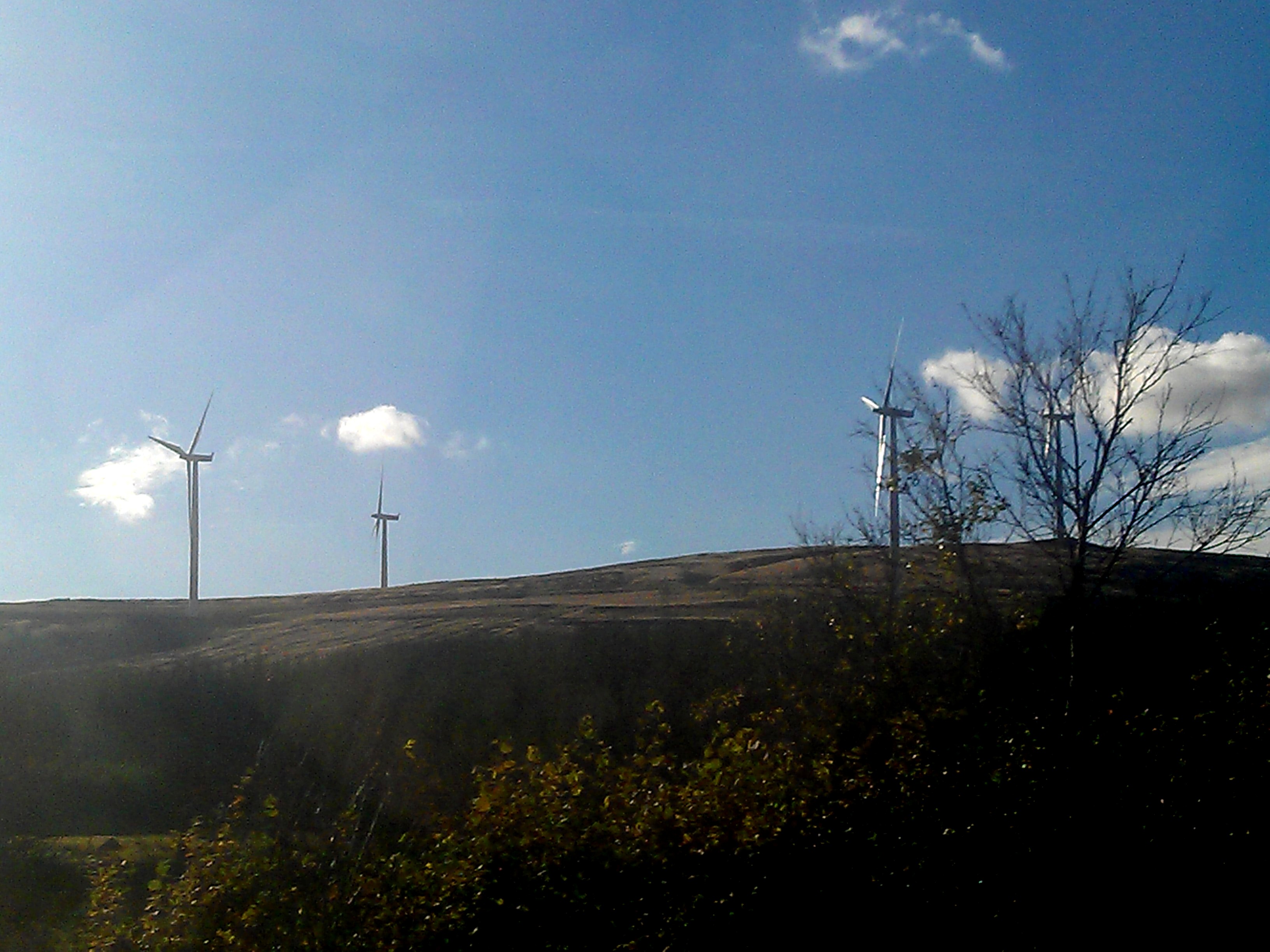
Clyde Wind Farm
The Clyde Wind Farm is a 522 megawatt (MW) wind farm near Abington in South Lanarkshire, Scotland. == Planning == The first stage of the project consists...
Crawford Castle
Crawford Castle, substantially in ruins, is located on the north bank of the River Clyde, around 1⁄2 mile (800 metres) north of Crawford, South Lanarkshire...

Crawford railway station (Scotland)
Crawford railway station was a station which served the village of Crawford, near Abington, in the Scottish county of South Lanarkshire. It was served...
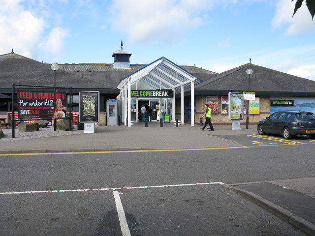
Abington services
Abington services is a motorway service station near the village of Abington, Scotland. The service station is located next to the M74 motorway and is...

Elvanfoot
Elvanfoot is a small village in South Lanarkshire, Scotland. Elvanfoot is located at the confluence of the River Clyde and Elvan Water. The Clyde is crossed...
Have you been to Craig Dod?
Leave your review of Craig Dod below (or comments, questions and feedback).