Cerrig Gwaun-y-llan
Hill, Mountain in Montgomeryshire
Wales
Cerrig Gwaun-y-llan

Cerrig Gwaun-y-llan is a prominent hill located in Montgomeryshire, Wales. The hill is part of the stunning Cambrian Mountains range and is situated in a remote and rural area. It stands at an elevation of approximately 450 meters (1,476 feet) above sea level, offering breathtaking panoramic views of the surrounding countryside.
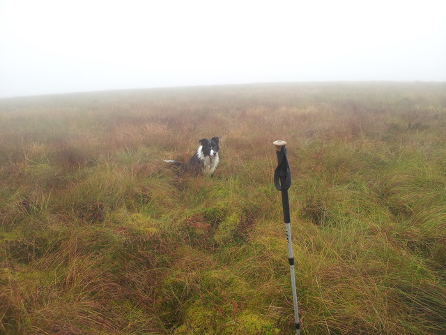
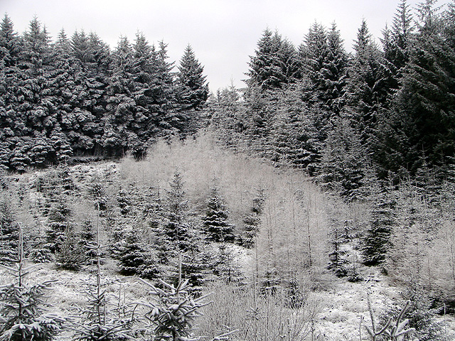
The hill is characterized by its rugged terrain, with steep slopes and rocky outcrops. It is covered in heather and grasses, providing a habitat for various plant and animal species. The hill is also home to a diverse range of birdlife, including red kites, buzzards, and ravens, making it a popular spot for birdwatching enthusiasts.
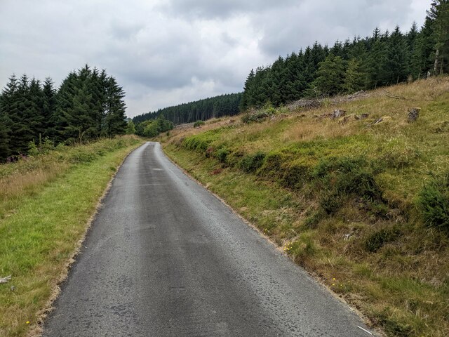
Cerrig Gwaun-y-llan is a haven for outdoor enthusiasts, offering fantastic opportunities for hiking and walking. There are several well-marked trails that lead to the summit, allowing visitors to explore the hill and enjoy its natural beauty. The climb to the top can be challenging but rewarding, with stunning views of the surrounding countryside as a reward.
In addition to its natural attractions, Cerrig Gwaun-y-llan also holds historical significance. The hill is dotted with ancient burial sites and remains dating back to the Bronze Age, adding an element of intrigue and mystery to its allure.
Overall, Cerrig Gwaun-y-llan is a picturesque and captivating hill in Montgomeryshire, offering a chance to immerse oneself in nature, witness breathtaking views, and discover the area's rich history.
If you have any feedback on the listing, please let us know in the comments section below.
Cerrig Gwaun-y-llan Images
Images are sourced within 2km of 52.38799/-3.6680179 or Grid Reference SN8677. Thanks to Geograph Open Source API. All images are credited.


Cerrig Gwaun-y-llan is located at Grid Ref: SN8677 (Lat: 52.38799, Lng: -3.6680179)
Unitary Authority: Powys
Police Authority: Dyfed Powys
What 3 Words
///surround.treaties.megawatt. Near Cwmystwyth, Ceredigion
Nearby Locations
Related Wikis

Llangurig
Llangurig is both a village and a community in Montgomeryshire, Powys, Wales. The population was 723 in the 2011 UK Census. The community includes the...
Llangurig railway station
Llangurig railway station was intended to serve the village and rural locale of Llangurig in the Welsh county of Powys. The station, which was on the Llangurig...

Elenydd
The Elenydd (Welsh: [ɛˈlɛnɨð]) is an upland area of Mid Wales, extending across parts of northern and eastern Ceredigion and Powys between Aberystwyth...

Llangurig branch
The Llangurig branch was a part of a proposed scheme by the Manchester and Milford Railway (M&MR) to connect industrialised Northwest England with the...
Have you been to Cerrig Gwaun-y-llan?
Leave your review of Cerrig Gwaun-y-llan below (or comments, questions and feedback).