Blairshinnoch Hill
Hill, Mountain in Kirkcudbrightshire
Scotland
Blairshinnoch Hill

Blairshinnoch Hill is a prominent hill located in Kirkcudbrightshire, Scotland. Situated in the southern part of the county, it forms part of the Galloway Hills range. With an elevation of approximately 377 meters (1,237 feet), it offers stunning panoramic views of the surrounding landscape.
The hill is characterized by its rugged terrain, covered in heather and grasses, giving it a picturesque appearance. It is a popular destination for hikers and nature enthusiasts, who are drawn to its natural beauty and the opportunity to explore the area's diverse flora and fauna.
Blairshinnoch Hill is easily accessible, thanks to the presence of well-established footpaths and trails. The ascent to the summit is relatively moderate, making it suitable for individuals with varying levels of fitness. Once at the top, visitors are greeted with breathtaking vistas of the rolling Scottish countryside, including the nearby hills and valleys.
The hill is also rich in history, with remnants of ancient settlements and historical landmarks scattered throughout the surrounding area. It is believed to have been inhabited since prehistoric times, and evidence of human activity, such as stone circles and burial mounds, has been discovered in the vicinity.
Blairshinnoch Hill is a haven for wildlife, with various species of birds, mammals, and plants calling it home. Visitors may encounter red deer, mountain hares, and numerous bird species as they explore the hill's trails.
Overall, Blairshinnoch Hill offers a captivating blend of natural beauty, historical significance, and opportunities for outdoor recreation, making it a must-visit destination for those seeking to immerse themselves in Scotland's stunning countryside.
If you have any feedback on the listing, please let us know in the comments section below.
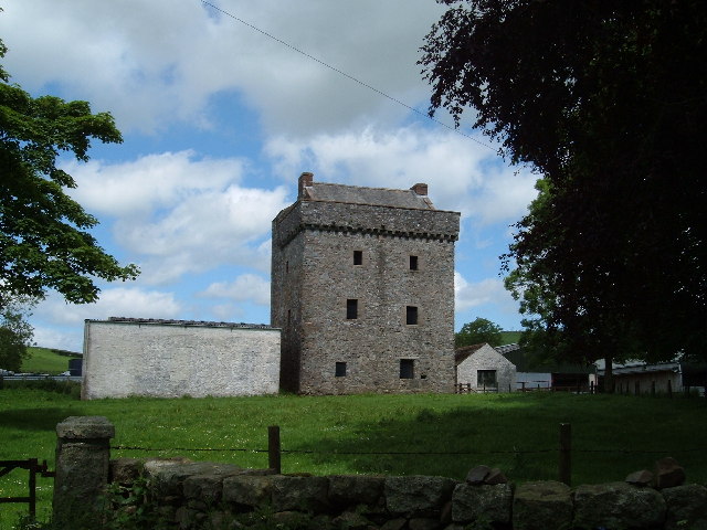
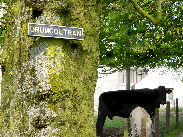
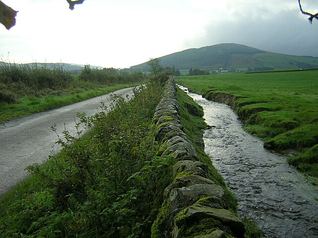
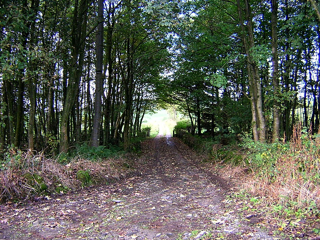
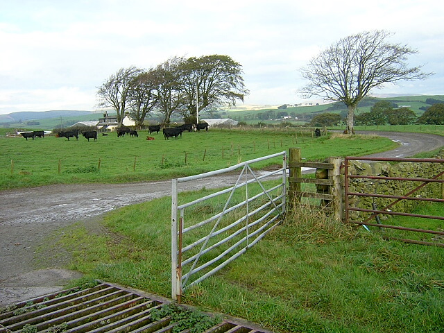
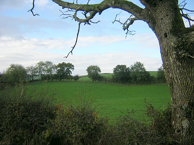
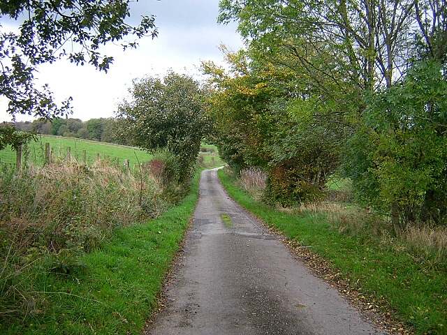
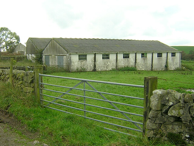
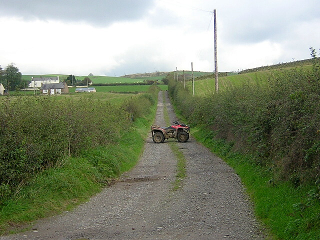
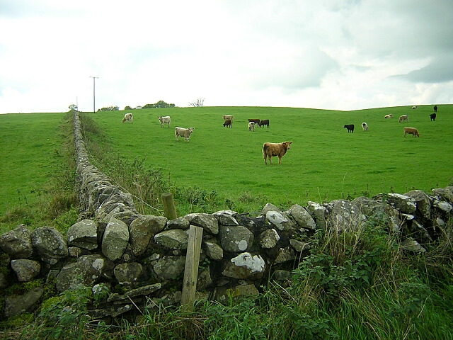
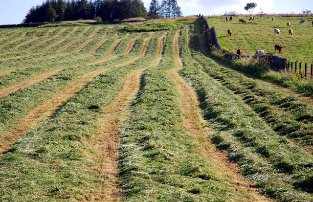
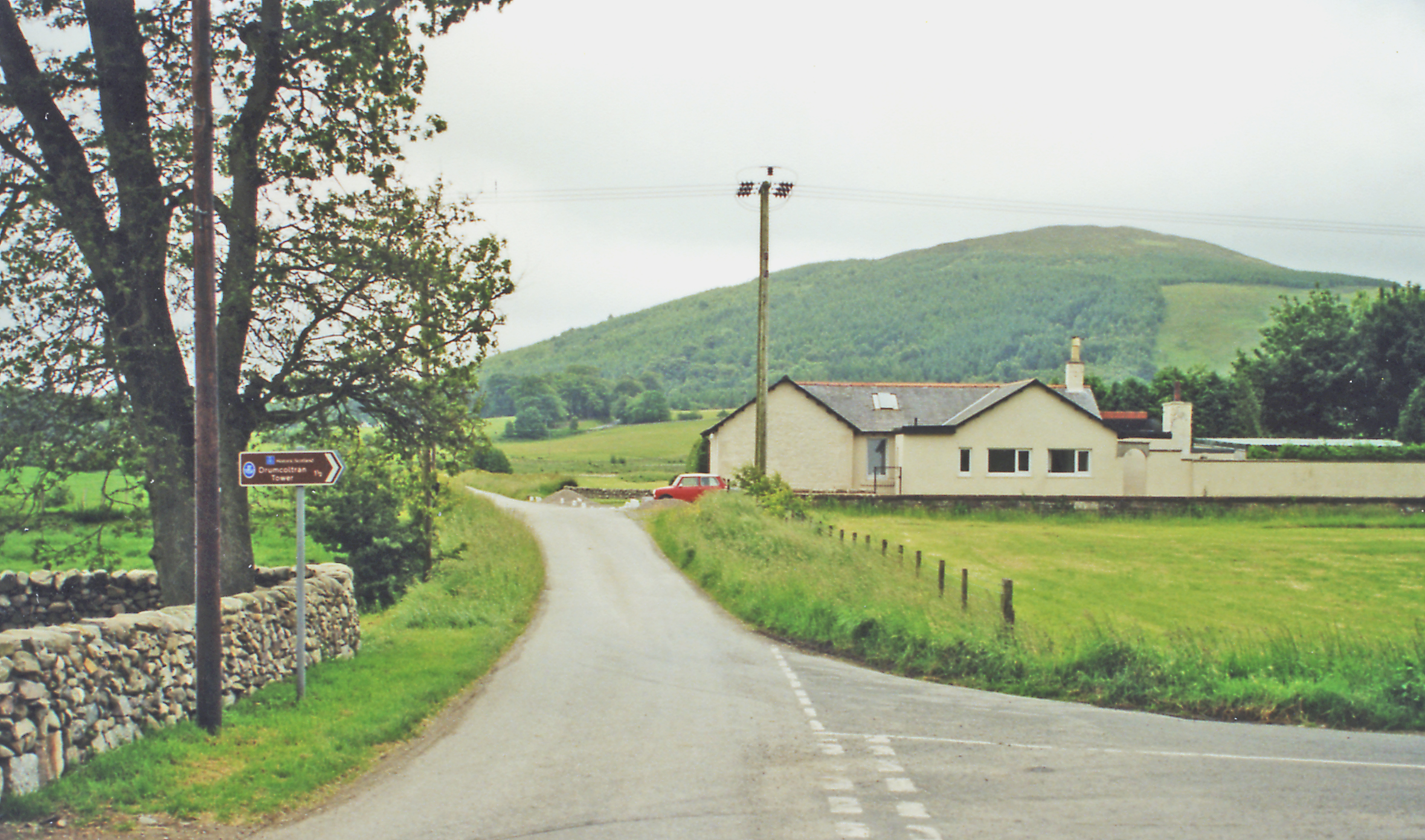
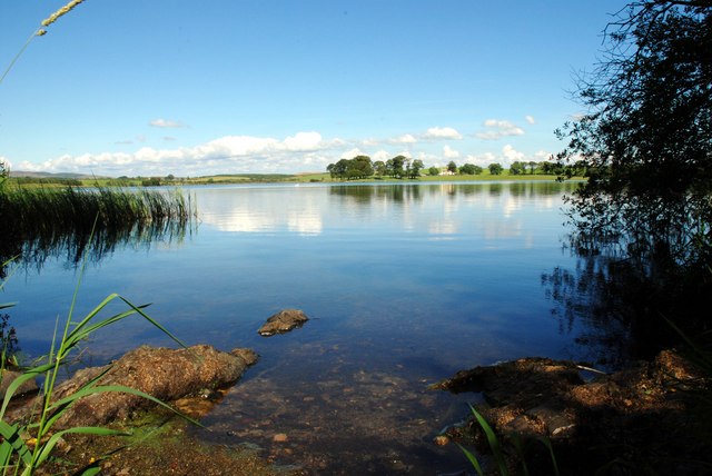
Blairshinnoch Hill Images
Images are sourced within 2km of 55.008628/-3.7744702 or Grid Reference NX8669. Thanks to Geograph Open Source API. All images are credited.


Blairshinnoch Hill is located at Grid Ref: NX8669 (Lat: 55.008628, Lng: -3.7744702)
Unitary Authority: Dumfries and Galloway
Police Authority: Dumfries and Galloway
What 3 Words
///scoots.tastier.reviewed. Near Dalbeattie, Dumfries & Galloway
Nearby Locations
Related Wikis
Killywhan railway station
Killywhan railway station served the hamlet of Killywhan, Dumfries and Galloway, Scotland from 1859 to 1959 on the Castle Douglas and Dumfries Railway...

Kirkgunzeon
Kirkgunȝeon (Scottish Gaelic: Cill Fhionnain) is a village and civil parish in Dumfries and Galloway, south west Scotland. The village is 10.4 miles (16...

Beeswing, Dumfries and Galloway
Beeswing is a small village in the historical county of Kirkcudbrightshire in Scotland. == Etymology == Before Beeswing became known as Beeswing, it was...
Milton Loch
Milton Loch is an alkaline freshwater loch located in Dumfries and Galloway, Scotland. In the loch and nearby are archaeological sites including three...
Nearby Amenities
Located within 500m of 55.008628,-3.7744702Have you been to Blairshinnoch Hill?
Leave your review of Blairshinnoch Hill below (or comments, questions and feedback).