Cistfaen
Hill, Mountain in Montgomeryshire
Wales
Cistfaen
Cistfaen is a hill located in Montgomeryshire, Wales, known for its scenic beauty and historical significance. Situated in the western part of the county, it is part of the Cambrian Mountains range. Standing at an elevation of approximately 1,750 feet (533 meters), Cistfaen offers breathtaking panoramic views of the surrounding countryside.
The hill is primarily composed of gritstone, which gives it a rugged and distinctive appearance. Its slopes are covered in heather, bracken, and scattered patches of woodland, providing a diverse habitat for various plant and animal species.
Cistfaen is of great historical importance, as it is home to an ancient burial cairn dating back to the Bronze Age. The cairn, measuring around 50 feet (15 meters) in diameter, is believed to be a burial site for a prominent figure from the local community. Archaeological excavations have unearthed artifacts such as pottery and flint tools, shedding light on the lives of the people who lived in the area thousands of years ago.
The hill is a popular destination for hikers and nature enthusiasts, offering numerous walking trails and paths to explore its natural beauty. It also attracts photographers and artists who are captivated by the stunning vistas and the play of light and shadow on the landscape.
Overall, Cistfaen is a remarkable hill in Montgomeryshire, combining natural beauty, historical significance, and recreational opportunities for visitors.
If you have any feedback on the listing, please let us know in the comments section below.
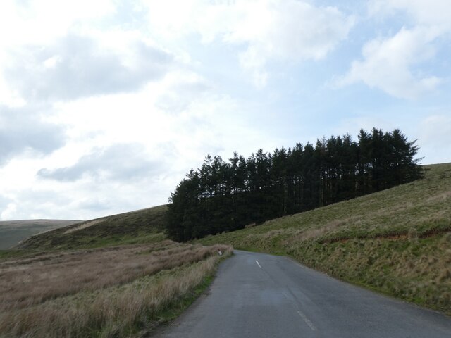
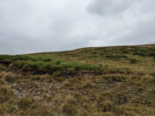
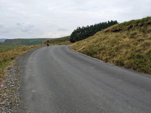
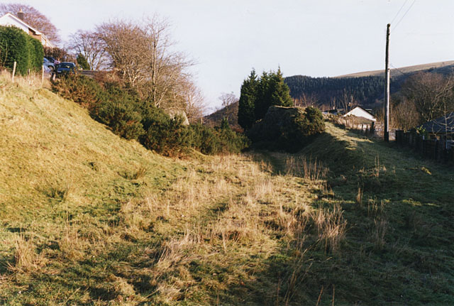
Cistfaen Images
Images are sourced within 2km of 52.380518/-3.669279 or Grid Reference SN8677. Thanks to Geograph Open Source API. All images are credited.


Cistfaen is located at Grid Ref: SN8677 (Lat: 52.380518, Lng: -3.669279)
Unitary Authority: Powys
Police Authority: Dyfed Powys
What 3 Words
///narrowest.drew.robots. Near Cwmystwyth, Ceredigion
Nearby Locations
Related Wikis

Elenydd
The Elenydd (Welsh: [ɛˈlɛnɨð]) is an upland area of Mid Wales, extending across parts of northern and eastern Ceredigion and Powys between Aberystwyth...

Llangurig
Llangurig is both a village and a community in Montgomeryshire, Powys, Wales. The population was 723 in the 2011 UK Census. The community includes the...
Llangurig railway station
Llangurig railway station was intended to serve the village and rural locale of Llangurig in the Welsh county of Powys. The station, which was on the Llangurig...

Llangurig branch
The Llangurig branch was a part of a proposed scheme by the Manchester and Milford Railway (M&MR) to connect industrialised Northwest England with the...
Have you been to Cistfaen?
Leave your review of Cistfaen below (or comments, questions and feedback).