Holywell
Settlement in Huntingdonshire Huntingdonshire
England
Holywell

Holywell is a village located in the district of Huntingdonshire, Cambridgeshire, England. Situated approximately 7 miles west of Huntingdon, Holywell is a small and picturesque settlement with a population of around 300 residents.
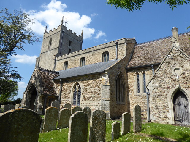
The village is primarily known for its historic church, St. John the Baptist, which dates back to the 12th century. This Grade I listed building features remarkable architectural details, including a Norman arch and a beautifully preserved nave. The church serves as a focal point for the local community, hosting regular services and special events.
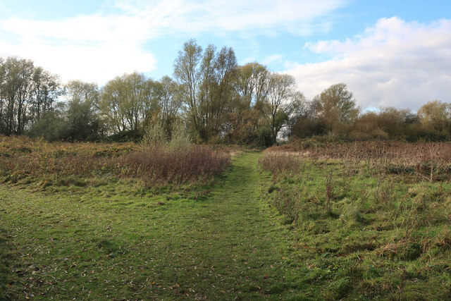
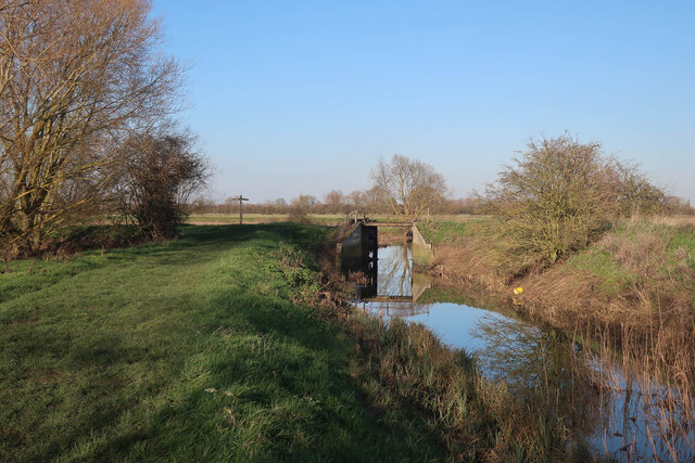
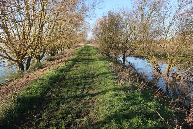
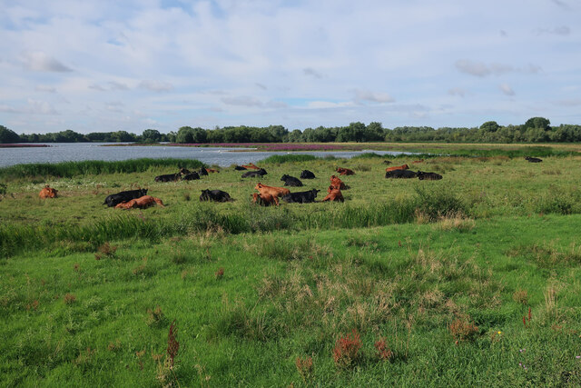
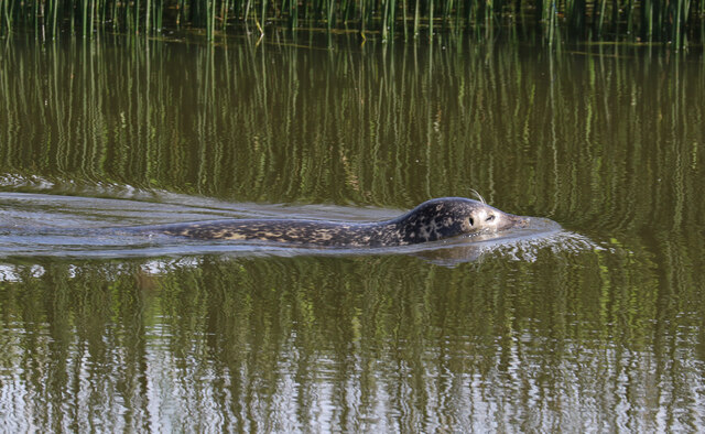
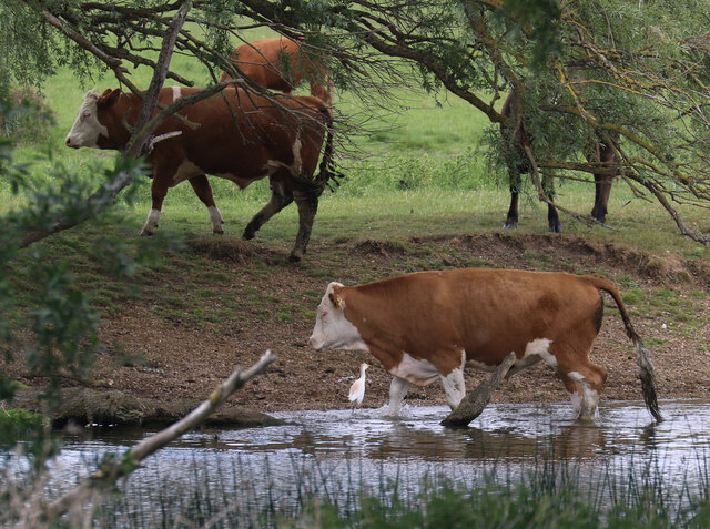
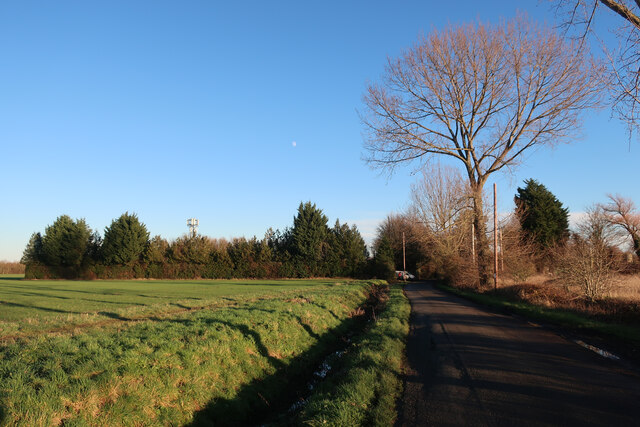
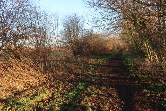
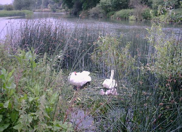
Holywell is surrounded by scenic countryside, offering residents and visitors ample opportunities for outdoor activities. The nearby Holywell Wood provides a tranquil setting for nature walks, and the Holywell Ponds offer a peaceful spot for fishing and bird-watching.
Although Holywell is a small village, it benefits from its proximity to larger towns such as Huntingdon. This allows residents to easily access amenities and services, including schools, healthcare facilities, and shopping centers.
The village maintains a strong sense of community, with various social and recreational activities organized throughout the year. Holywell Fair, an annual event held in the summer, brings together residents and visitors for a day of games, food stalls, and entertainment.
In conclusion, Holywell is a charming village in Huntingdonshire, offering a blend of historical and natural attractions while providing a close-knit community feel.
If you have any feedback on the listing, please let us know in the comments section below.
Holywell Images
Images are sourced within 2km of 52.319339/-0.037094 or Grid Reference TL3370. Thanks to Geograph Open Source API. All images are credited.


Holywell is located at Grid Ref: TL3370 (Lat: 52.319339, Lng: -0.037094)
Administrative County: Cambridgeshire
District: Huntingdonshire
Police Authority: Cambridgeshire
What 3 Words
///troubles.dislikes.quickly. Near Needingworth, Cambridgeshire
Nearby Locations
Related Wikis

Holywell, Cambridgeshire
Holywell is a village in Cambridgeshire, England, approximately 6 miles (10 km) east of Huntingdon, in the civil parish of Holywell-cum-Needingworth. It...
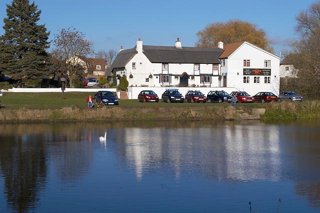
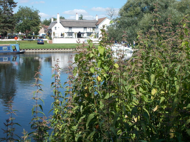
The Old Ferry Boat Inn
The Old Ferry Boat Inn is a pub in Holywell, Huntingdonshire, Cambridgeshire, England. It is situated on the banks of the River Great Ouse.The Old Ferry...
Ouse Valley Way
The Ouse Valley Way is a 150-mile (240 km) footpath in England, following the River Great Ouse from its source near Syresham in Northamptonshire to its...
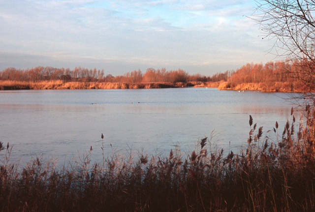
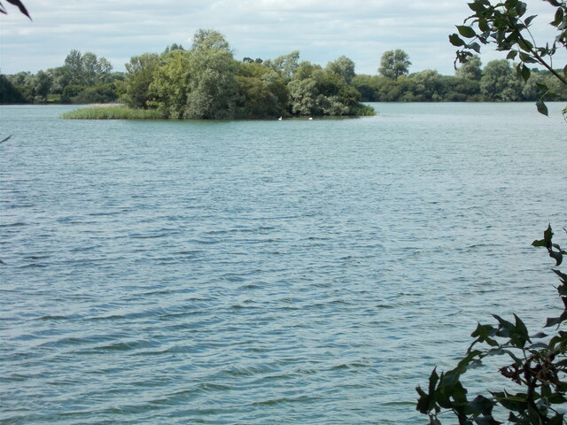
Fen Drayton Lakes
Fen Drayton Lakes is a complex of lakes, lagoons, ponds and a river, situated close to Fen Drayton, Holywell and Swavesey in Cambridgeshire, England. The...
Needingworth
Needingworth is a village in Cambridgeshire, England. Needingworth lies approximately 7 miles (11 km) east of Huntingdon and just west of the Prime Meridian...
St Ives railway station (Cambridgeshire)
St Ives railway station is a former railway station in St Ives, Cambridgeshire. It formed a junction, with lines to the east heading towards Cambridge...
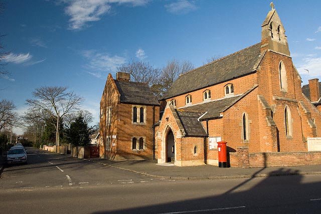
Sacred Heart Church, St Ives
Sacred Heart Church is a Roman Catholic church that serves as the parish church of St Ives, Cambridgeshire. It was originally designed and built by Augustus...
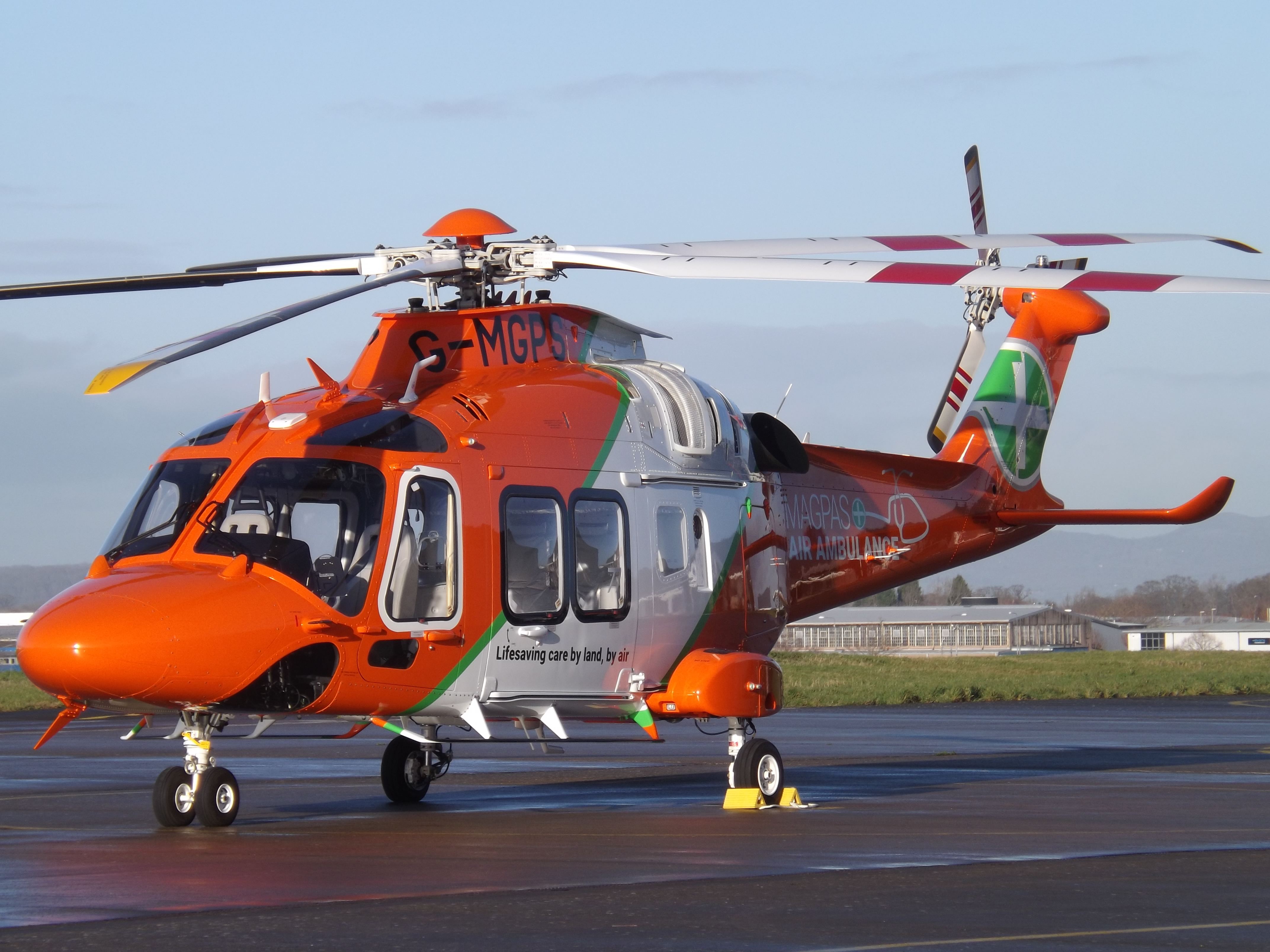
Magpas
Magpas Air Ambulance is a registered charity that operates a helicopter emergency medical service (HEMS) dedicated to the seriously ill and injured in...
Nearby Amenities
Located within 500m of 52.319339,-0.037094Have you been to Holywell?
Leave your review of Holywell below (or comments, questions and feedback).