Holywell Fen
Downs, Moorland in Huntingdonshire Huntingdonshire
England
Holywell Fen

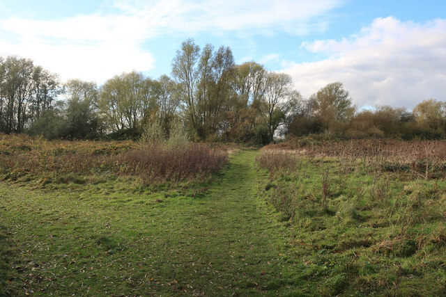
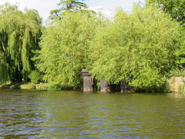
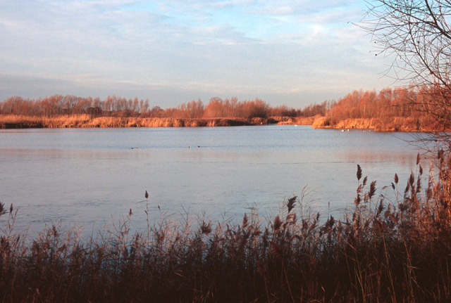
Holywell Fen is a nature reserve located in Huntingdonshire, England. It is situated in the Cambridgeshire Fens, an area renowned for its wetland habitats and diverse wildlife. The fen covers an extensive area of approximately 150 hectares and is composed of a combination of downs and moorland.
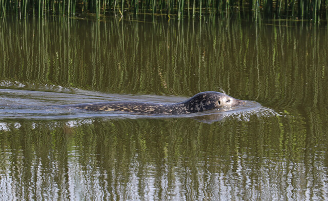
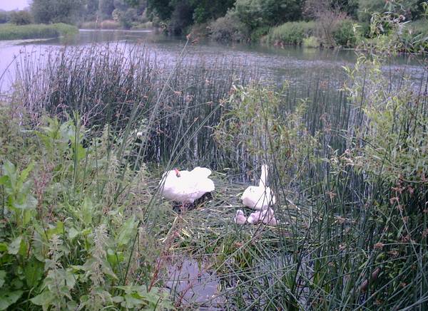
The fen is characterized by its wetland environment, with numerous shallow pools, marshy areas, and reed beds. It is home to a wide variety of plant and animal species, including rare and protected species. The diverse plant life consists of reeds, sedges, and grasses, providing a vital habitat for numerous bird species, amphibians, and insects.
Birdwatchers flock to Holywell Fen to observe the rich birdlife that thrives in the area. Species such as the bittern, marsh harrier, and bearded tit are known to breed here, making it an important site for bird conservation. The fen also attracts migratory birds during the winter months, providing a spectacle of bird activity.
Visitors to Holywell Fen can enjoy several walking trails that meander through the reserve, allowing them to explore and appreciate the natural beauty of the area. The fen is managed by the Royal Society for the Protection of Birds (RSPB), who work to maintain and enhance the habitat for the benefit of the wildlife.
In summary, Holywell Fen in Huntingdonshire is a significant nature reserve characterized by its wetland environment, downs, and moorland. With its diverse plant and animal life, it provides a haven for birdwatchers and nature enthusiasts alike.
If you have any feedback on the listing, please let us know in the comments section below.
Holywell Fen Images
Images are sourced within 2km of 52.318609/-0.046691586 or Grid Reference TL3370. Thanks to Geograph Open Source API. All images are credited.


![Harrison Way [A1096] crosses the Great Ouse Approaching the bridge that carries a bypass for St Ives, which dates from the 1970s](https://s2.geograph.org.uk/geophotos/07/19/72/7197286_b80b0cc7.jpg)
![The River Great Ouse at St Ives Passing under Harrison Way [A1096].](https://s2.geograph.org.uk/geophotos/07/19/73/7197322_3e415e75.jpg)


Holywell Fen is located at Grid Ref: TL3370 (Lat: 52.318609, Lng: -0.046691586)
Administrative County: Cambridgeshire
District: Huntingdonshire
Police Authority: Cambridgeshire
What 3 Words
///from.airfields.skate. Near Needingworth, Cambridgeshire
Nearby Locations
Related Wikis
Ouse Valley Way
The Ouse Valley Way is a 150-mile (240 km) footpath in England, following the River Great Ouse from its source near Syresham in Northamptonshire to its...

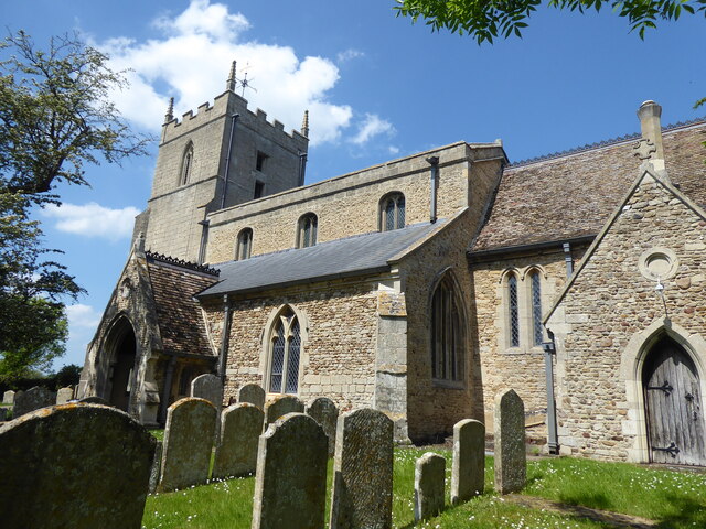
Holywell, Cambridgeshire
Holywell is a village in Cambridgeshire, England, approximately 6 miles (10 km) east of Huntingdon, in the civil parish of Holywell-cum-Needingworth. It...
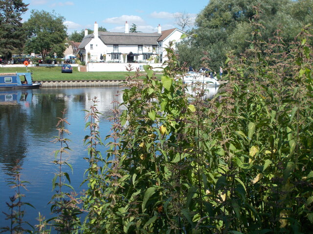
The Old Ferry Boat Inn
The Old Ferry Boat Inn is a pub in Holywell, Huntingdonshire, Cambridgeshire, England. It is situated on the banks of the River Great Ouse.The Old Ferry...
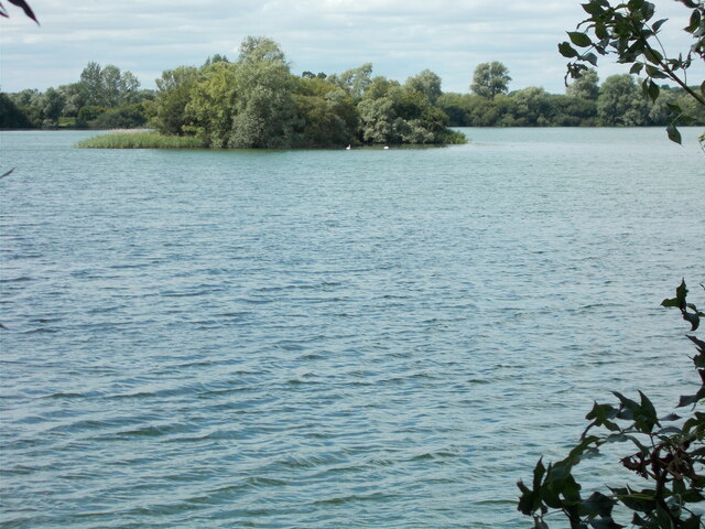
Fen Drayton Lakes
Fen Drayton Lakes is a complex of lakes, lagoons, ponds and a river, situated close to Fen Drayton, Holywell and Swavesey in Cambridgeshire, England. The...
St Ives railway station (Cambridgeshire)
St Ives railway station is a former railway station in St Ives, Cambridgeshire. It formed a junction, with lines to the east heading towards Cambridge...
St Ives Priory
St Ives Priory was a priory in Cambridgeshire, England. It was established in 1017 by monks from Ramsey Abbey. == References ==
Sacred Heart Church, St Ives
Sacred Heart Church is a Roman Catholic church that serves as the parish church of St Ives, Cambridgeshire. It was originally designed and built by Augustus...

St Ives Town Hall
St Ives Town Hall is a municipal structure in Market Hill, St Ives, Cambridgeshire, England. The structure, which is the meeting place of St Ives Town...
Nearby Amenities
Located within 500m of 52.318609,-0.046691586Have you been to Holywell Fen?
Leave your review of Holywell Fen below (or comments, questions and feedback).