Barcloy Hill
Hill, Mountain in Kirkcudbrightshire
Scotland
Barcloy Hill
Barcloy Hill is a prominent hill located in the historic county of Kirkcudbrightshire, in southwest Scotland. Situated near the village of Ringford, it forms part of the landscape of the Galloway Forest Park, known for its natural beauty and diverse wildlife.
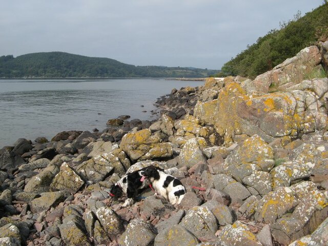
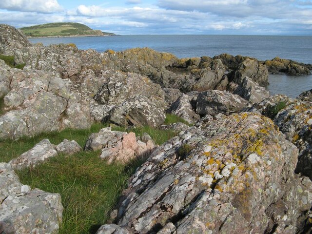
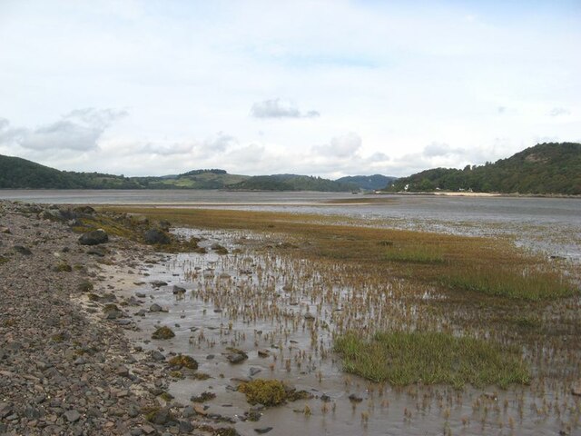
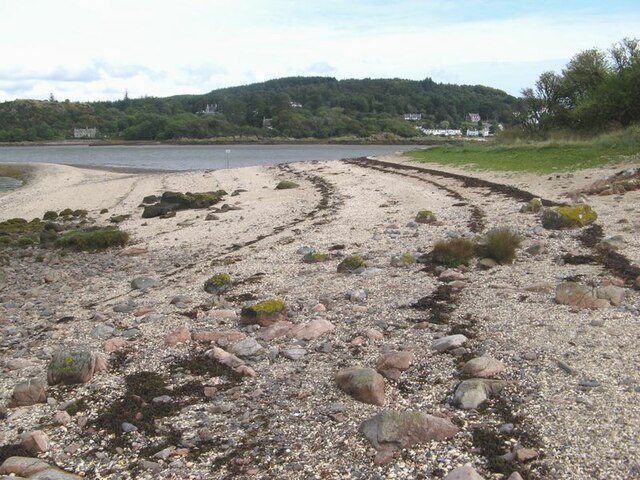
Rising to an elevation of 272 meters (892 feet), Barcloy Hill offers breathtaking panoramic views of the surrounding countryside, including the picturesque estuary of the River Dee. It is characterized by gentle slopes covered in heather and grasses, with scattered patches of woodland. The hill's summit is marked by a trig point, providing a great vantage point for photographers and nature enthusiasts.
Barcloy Hill boasts a rich history dating back to ancient times. Evidence of prehistoric settlements, including stone circles and burial mounds, have been discovered in the vicinity, highlighting the area's significance to early human communities. The hill also played a role in more recent history, with remnants of World War II structures still visible, serving as a reminder of the region's wartime past.
The hill is a popular destination for walkers and hikers, offering various trails that cater to different fitness levels. Its accessibility and proximity to nearby towns and villages make it a favored spot for locals and tourists alike, seeking a peaceful escape into nature.
Barcloy Hill's natural beauty, combined with its historical and cultural significance, make it a must-visit destination for those exploring the Kirkcudbrightshire region of Scotland.
If you have any feedback on the listing, please let us know in the comments section below.
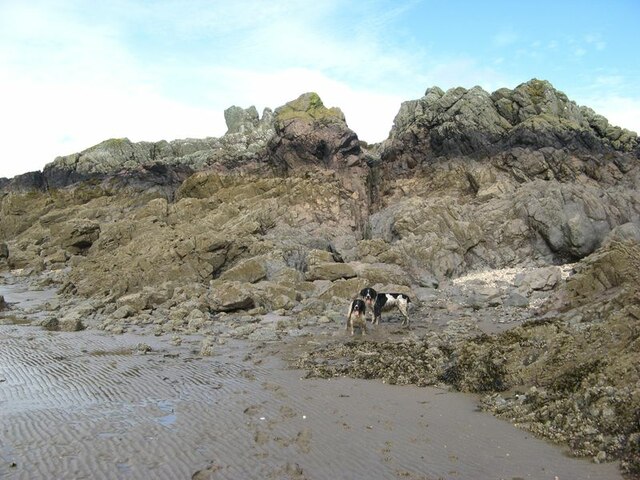
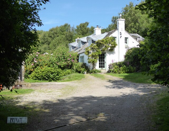
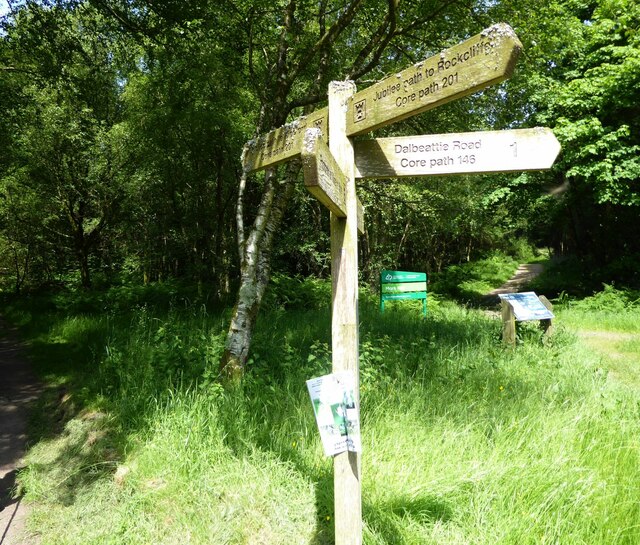
Barcloy Hill Images
Images are sourced within 2km of 54.855905/-3.7814974 or Grid Reference NX8552. Thanks to Geograph Open Source API. All images are credited.


Barcloy Hill is located at Grid Ref: NX8552 (Lat: 54.855905, Lng: -3.7814974)
Unitary Authority: Dumfries and Galloway
Police Authority: Dumfries and Galloway
What 3 Words
///clearcut.vocal.toys. Near Dalbeattie, Dumfries & Galloway
Nearby Locations
Related Wikis

Rough Island, Scotland
"Rough Island" is also used as a translation of "Garbh Eilean", a common Scottish name for islandsRough Island is a 20-acre (8 ha) uninhabited tidal island...

Colvend and Southwick
Colvend and Southwick is a community council area and civil parish within the Stewartry area of Dumfries and Galloway, Scotland. It is also part of the...

Rough Firth
Rough Firth is an inlet on the northern coast of the Solway Firth in the Stewartry area of Dumfries and Galloway, Scotland. The firth lies between Almorness...
Rockcliffe, Dumfries and Galloway
Rockcliffe is a small, coastal village in Kirkcudbrightshire, Dumfries and Galloway in Scotland, with a view of Rough Island, Hestan Island, the Solway...

Kippford
Kippford (/ˈkɪpfəd/; otherwise Scaur) is a small village along the Solway coast, in the historic county of Kirkcudbrightshire in Dumfries and Galloway...

Hestan Island
Hestan Island is a small coastal island at the southern foot of the River Urr estuary in the Solway Firth, in the historical county of Kirkcudbrightshire...

Urr Water
Urr Water or River Urr (arc. River Orr) is a river in which flows through the counties of Dumfriesshire and Kirkcudbrightshire in southwest Scotland....

Orchardton Castle
Orchardton Castle overlooks the Solway Coast. Built in the 1880s, this is a Grade B listed property formerly known as Orchardton House. Built around a...
Nearby Amenities
Located within 500m of 54.855905,-3.7814974Have you been to Barcloy Hill?
Leave your review of Barcloy Hill below (or comments, questions and feedback).