Meall na h-Iolaire
Hill, Mountain in Perthshire
Scotland
Meall na h-Iolaire
Meall na h-Iolaire, also known as the Hill of the Eagle, is a prominent peak located in Perthshire, Scotland. Rising to an impressive height of 1,121 meters (3,677 feet), it forms part of the renowned Ben Lawers range, which is often frequented by hikers, mountaineers, and nature enthusiasts.
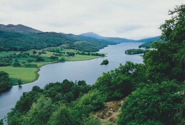
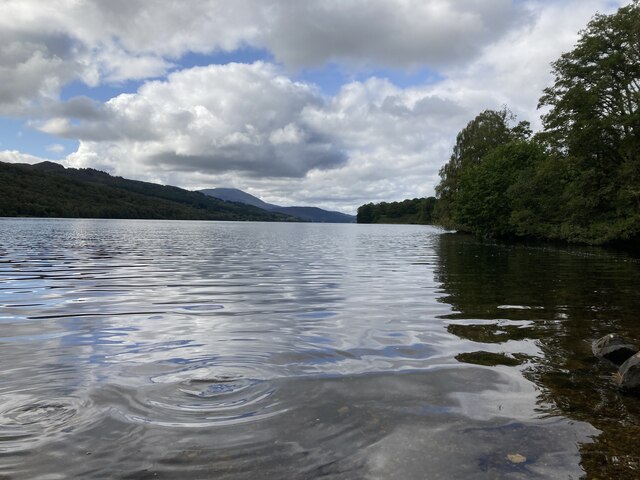
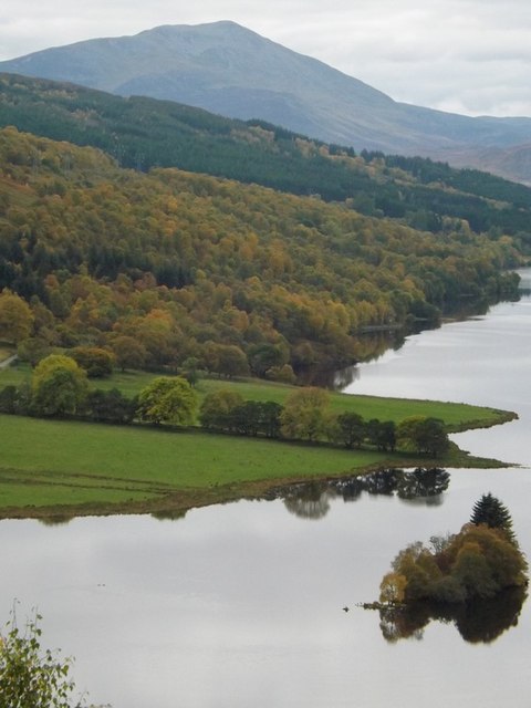
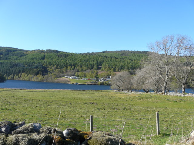
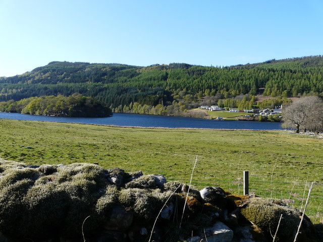
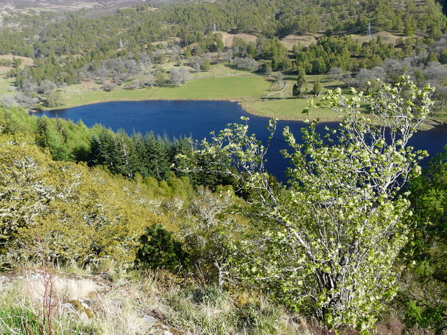
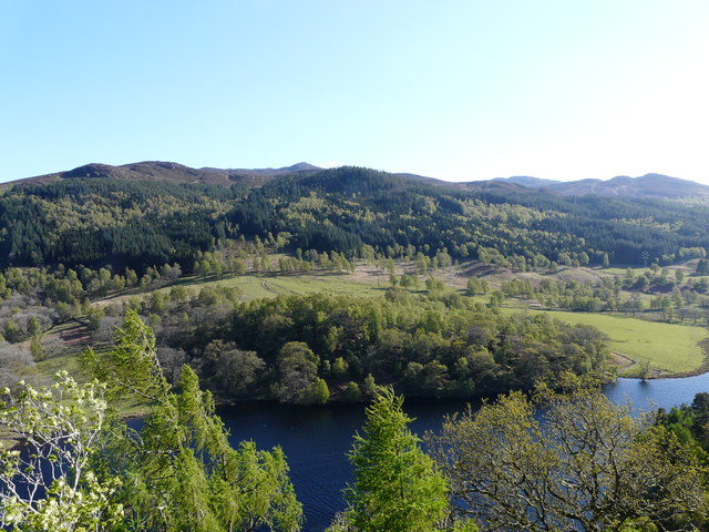
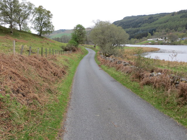
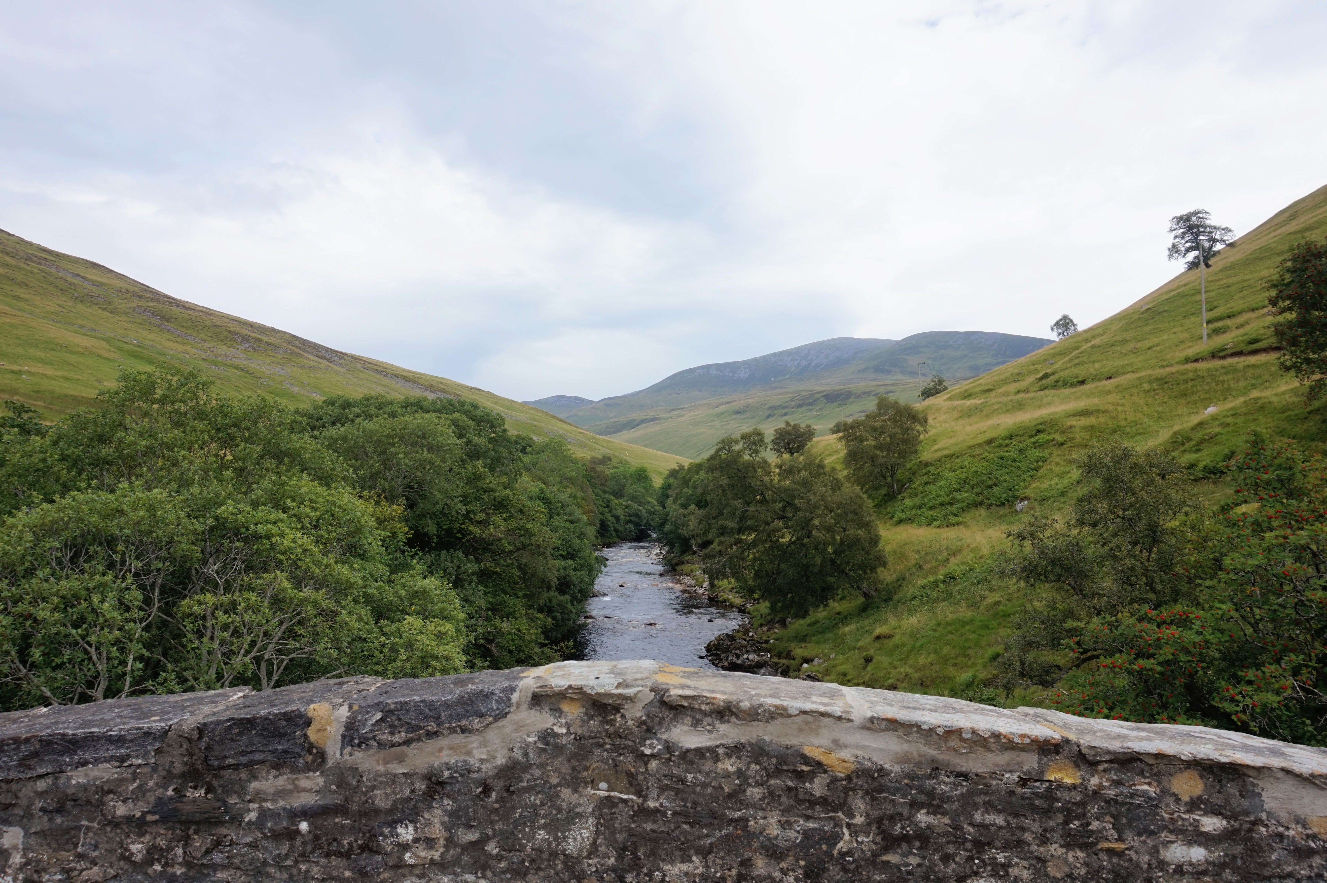
Situated within the Ben Lawers National Nature Reserve, Meall na h-Iolaire offers breathtaking panoramic views of the surrounding landscape. On a clear day, visitors can marvel at the picturesque sight of Loch Tay, the Tarmachan Ridge, and the stunning peaks of the Southern Highlands.
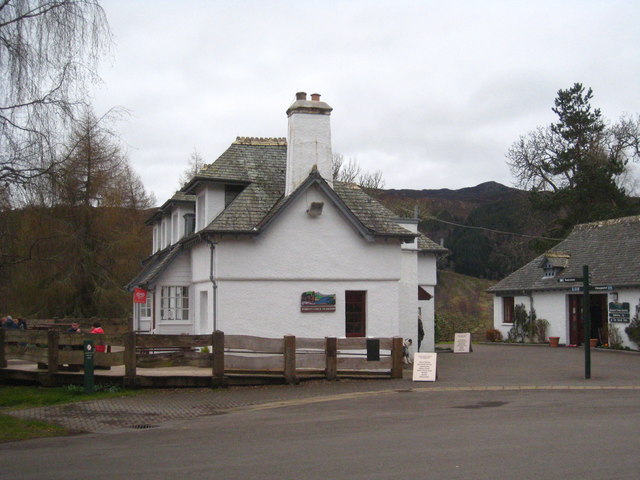
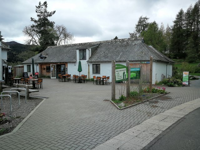
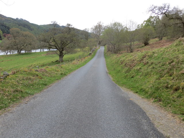
The trek to Meall na h-Iolaire is a challenging but rewarding one. Starting from the car park at Ben Lawers Visitor Centre, the ascent takes climbers through a variety of terrains, including grassy slopes, rocky outcrops, and scree fields. It is recommended to bring appropriate hiking gear and be prepared for changing weather conditions.
The summit of Meall na h-Iolaire is marked by a cairn, providing a perfect spot to rest and soak in the awe-inspiring surroundings. The peak is home to a diverse range of flora and fauna, including rare alpine plants and bird species such as ptarmigan and golden eagles. Nature enthusiasts can enjoy observing the unique ecosystem and learn about the conservation efforts undertaken in the area.
Meall na h-Iolaire offers an unforgettable experience for outdoor enthusiasts seeking a challenge and a chance to immerse themselves in the breathtaking natural beauty of Perthshire.
If you have any feedback on the listing, please let us know in the comments section below.
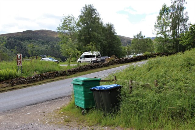
Meall na h-Iolaire Images
Images are sourced within 2km of 56.726239/-3.8690866 or Grid Reference NN8560. Thanks to Geograph Open Source API. All images are credited.

Meall na h-Iolaire is located at Grid Ref: NN8560 (Lat: 56.726239, Lng: -3.8690866)
Unitary Authority: Perth and Kinross
Police Authority: Tayside
What 3 Words
///flick.wept.history. Near Blair Atholl, Perth & Kinross
Nearby Locations
Related Wikis

Balavoulin
Balavoulin, also known as Milton Lodge, is a Category B listed building in Blair Atholl, Perth and Kinross, Scotland.The building is two storeys with an...

Fincastle Chapel
Fincastle Chapel, also known as Glenfincastle Chapel, is a former church building in Glen Fincastle, 2.6 mi (4.2 km) south of Blair Atholl, Perth and Kinross...

Loch Bhac
Loch Bhac (Bhaic or Vach) is a fine freshwater trout loch, located in the west part of the Allean Forest, and east part of Tay Forest park, and slightly...

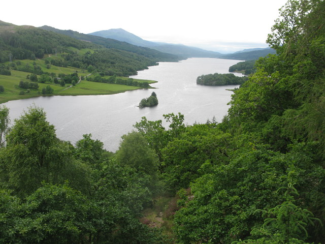
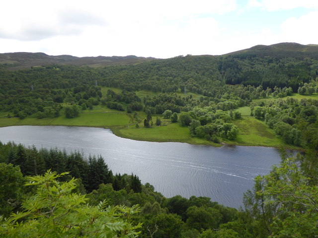
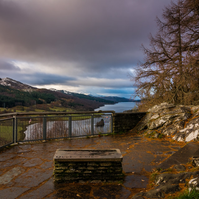
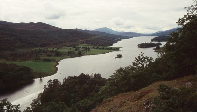
Loch Tummel
Loch Tummel (Scottish Gaelic: Loch Teimheil) is a long, narrow loch, seven kilometres (4+1⁄2 miles) northwest of Pitlochry in the council area of Perth...
River Tilt
The River Tilt is a tributary of the River Garry in Perth and Kinross, Scotland. It is sourced from the confluence of Tarf Water and the Allt Garbh Buidhe...

Tummel hydro-electric power scheme
The Tummel hydro-electric power scheme is an interconnected network of dams, power stations, aqueducts and electric power transmission in the Grampian...

Blair Atholl Watermill
Blair Atholl Watermill is Scotland's oldest working watermill, located in Blair Atholl, Perth and Kinross, and dating to around 1830. There has been a...
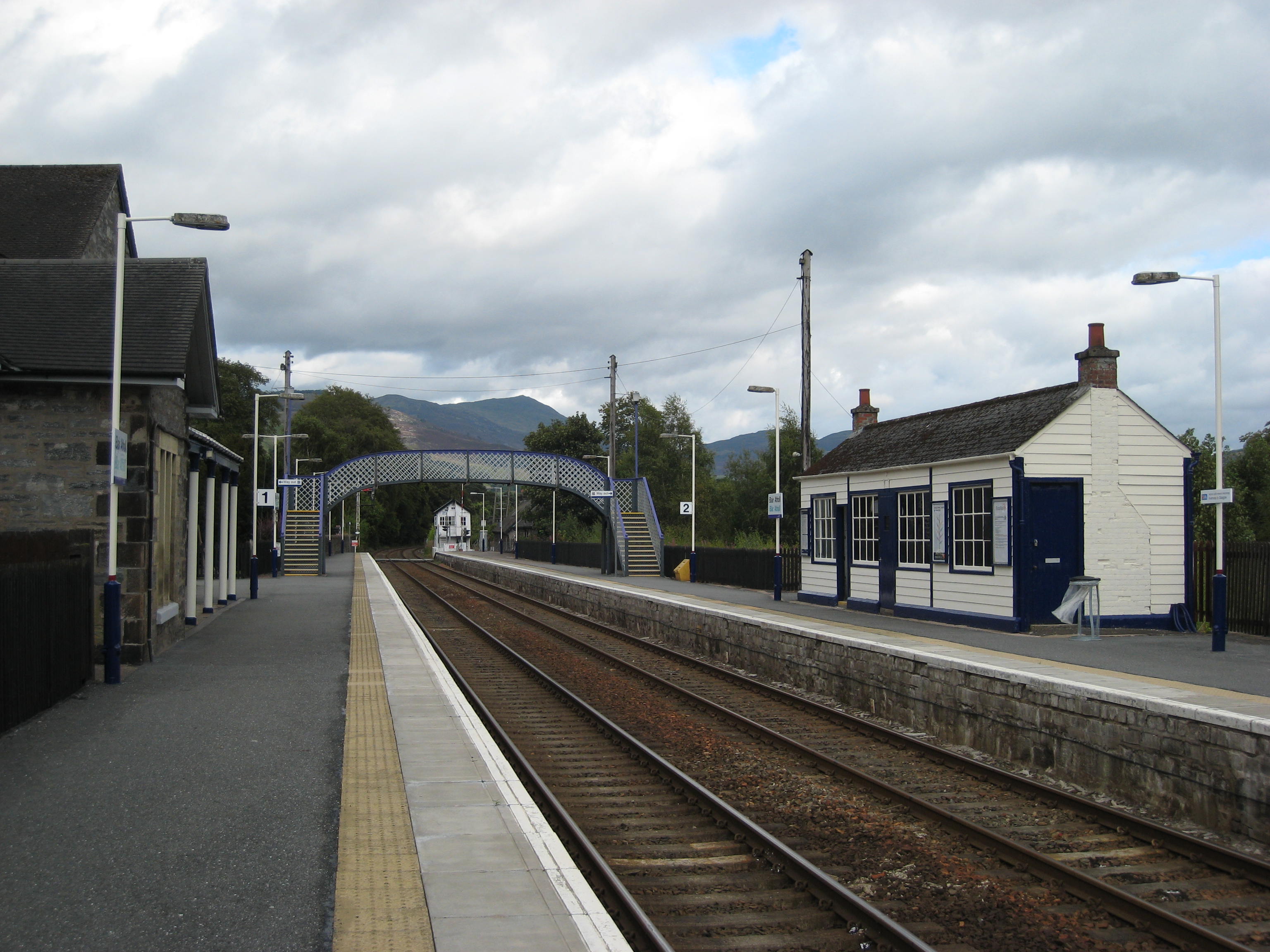
Blair Atholl railway station
Blair Atholl railway station is a railway station serving the town of Blair Atholl, Perth and Kinross, Scotland. The station is managed by ScotRail and...
Nearby Amenities
Located within 500m of 56.726239,-3.8690866Have you been to Meall na h-Iolaire?
Leave your review of Meall na h-Iolaire below (or comments, questions and feedback).