Allt Pant-mawr

Hill, Mountain in Montgomeryshire

Wales

Allt Pant-mawr

Wye Valley near Nanty Farm
Wye Valley near Nanty Farm Credit: Anthony Parkes

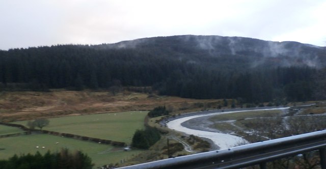
Allt Pant-mawr is a prominent hill located in Montgomeryshire, Wales. It is part of the Cambrian Mountains range, known for its rugged and picturesque landscapes. Rising to an elevation of approximately 460 meters (1,509 feet), Allt Pant-mawr offers stunning panoramic views of the surrounding countryside, including the rolling hills and valleys of Montgomeryshire.

The hill is covered in a mix of grasses, heather, and small shrubs, providing habitat for a variety of wildlife such as birds, insects, and small mammals. The area is popular with hikers and nature enthusiasts, who come to explore the network of trails that crisscross the hillside.

Allt Pant-mawr is also steeped in history, with evidence of ancient settlements and farming practices dating back centuries. Visitors can discover remnants of stone walls and other structures that hint at the hill's past use by early inhabitants.

Overall, Allt Pant-mawr is a beautiful and tranquil spot for outdoor recreation and exploration, offering a glimpse into the natural and cultural heritage of Montgomeryshire.

If you have any feedback on the listing, please let us know in the comments section below.

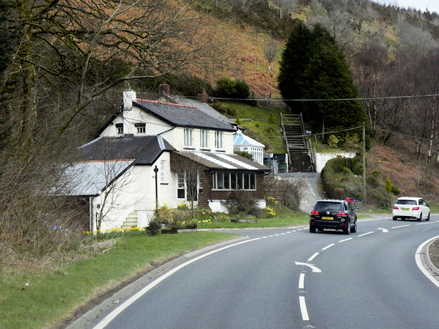
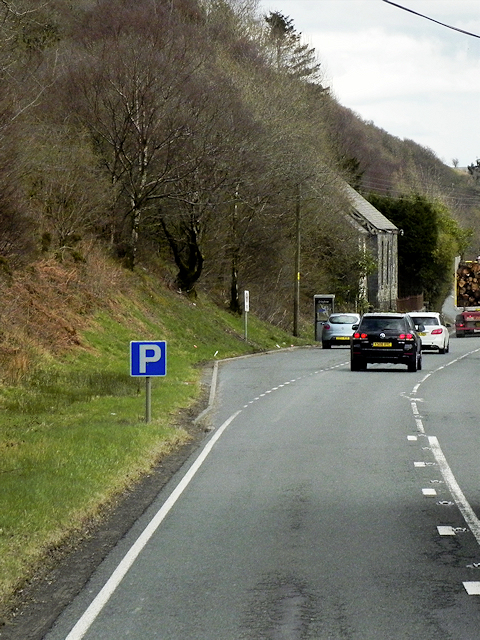
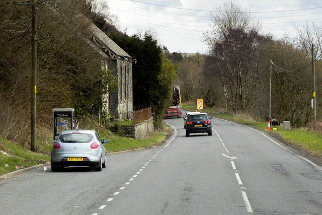
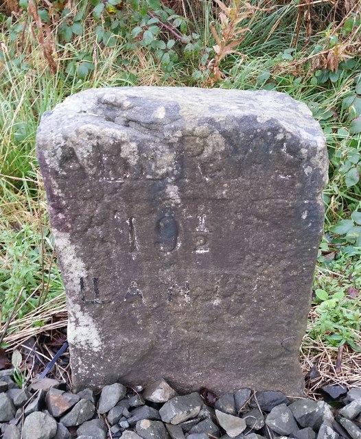
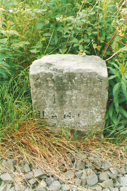
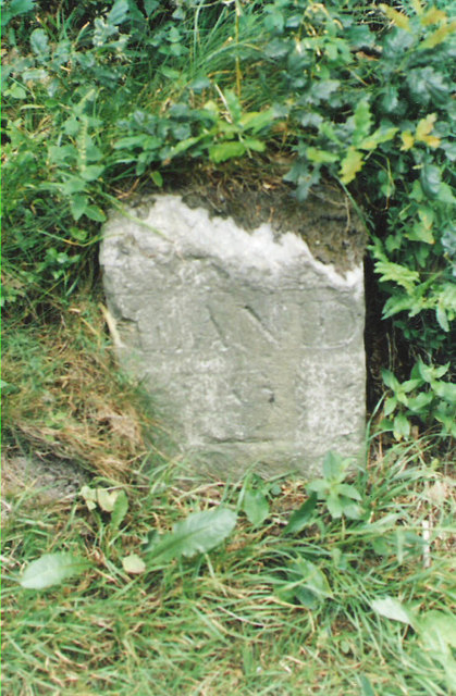
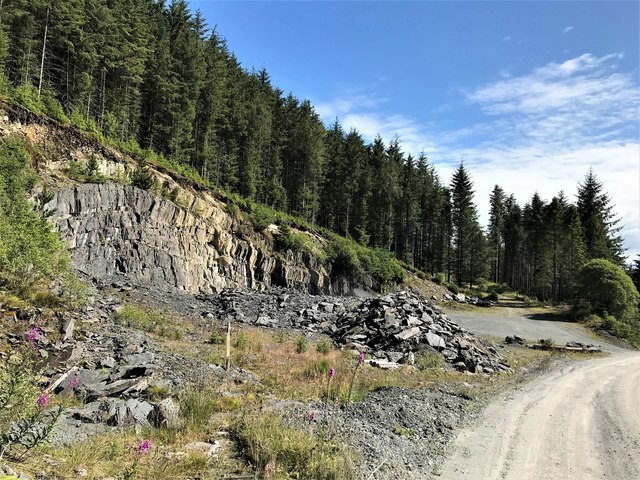
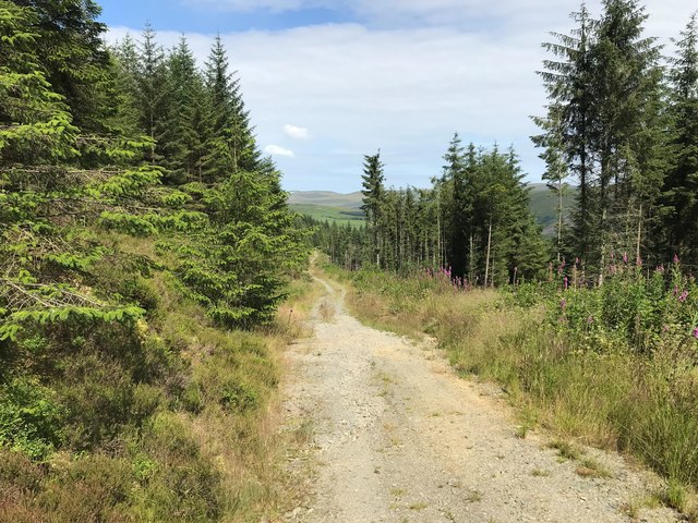
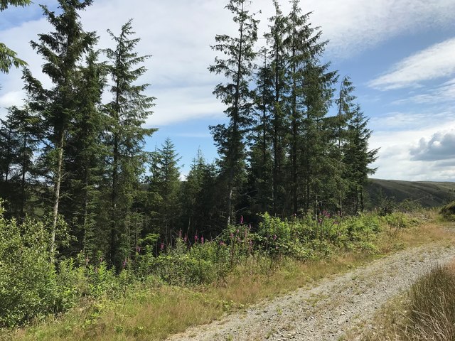
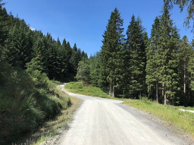
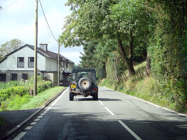
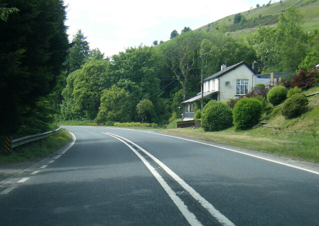
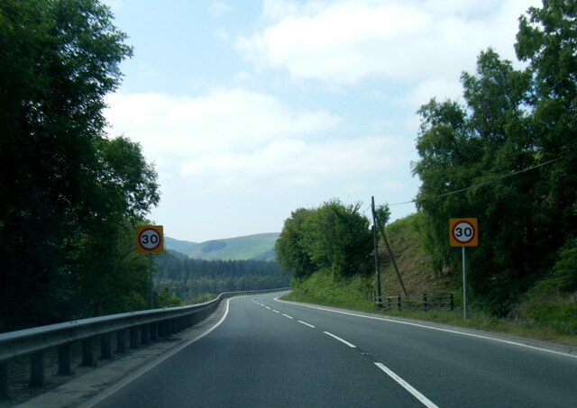
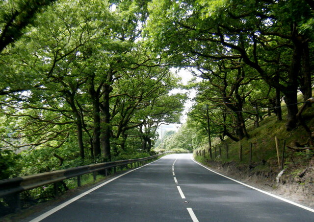
Allt Pant-mawr Images

Images are sourced within 2km of 52.429339/-3.6845085 or Grid Reference SN8582. Thanks to Geograph Open Source API. All images are credited.

Wye Valley near Nanty Farm
A44 near Pont Rhydgaled The A44 is a major road in the United Kingdom that runs for 155 miles from Oxford in southern England to Aberystwyth in west Wales.
<span class="nowrap"><a title="http://www.sabre-roads.org.uk/wiki/index.php?title=A44" rel="nofollow ugc noopener" href="http://www.sabre-roads.org.uk/wiki/index.php?title=A44">Link</a><img style="margin-left:2px;" alt="External link" title="External link - shift click to open in new window" src="https://s1.geograph.org.uk/img/external.png" width="10" height="10"/></span>  SABRE
<span class="nowrap"><a title="https://en.wikipedia.org/wiki/A44_road" rel="nofollow ugc noopener" href="https://en.wikipedia.org/wiki/A44_road">Link</a><img style="margin-left:2px;" alt="External link" title="External link - shift click to open in new window" src="https://s1.geograph.org.uk/img/external.png" width="10" height="10"/></span>  Wikipedia
A44 near Pont Rhydgaled
The A44 is a major road in the United Kingdom that runs for 155 miles from Oxford in southern England to Aberystwyth in west Wales. LinkExternal link SABRE LinkExternal link Wikipedia
A44 at Pant Mawr The A44 is a major road in the United Kingdom that runs for 155 miles from Oxford in southern England to Aberystwyth in west Wales.
<span class="nowrap"><a title="http://www.sabre-roads.org.uk/wiki/index.php?title=A44" rel="nofollow ugc noopener" href="http://www.sabre-roads.org.uk/wiki/index.php?title=A44">Link</a><img style="margin-left:2px;" alt="External link" title="External link - shift click to open in new window" src="https://s1.geograph.org.uk/img/external.png" width="10" height="10"/></span>  SABRE
<span class="nowrap"><a title="https://en.wikipedia.org/wiki/A44_road" rel="nofollow ugc noopener" href="https://en.wikipedia.org/wiki/A44_road">Link</a><img style="margin-left:2px;" alt="External link" title="External link - shift click to open in new window" src="https://s1.geograph.org.uk/img/external.png" width="10" height="10"/></span>  Wikipedia
A44 at Pant Mawr
The A44 is a major road in the United Kingdom that runs for 155 miles from Oxford in southern England to Aberystwyth in west Wales. LinkExternal link SABRE LinkExternal link Wikipedia
Eastbound A44, Pant Mawr
Eastbound A44, Penlon The A44 is a major road in the United Kingdom that runs for 155 miles from Oxford in southern England to Aberystwyth in west Wales.
<span class="nowrap"><a title="http://www.sabre-roads.org.uk/wiki/index.php?title=A44" rel="nofollow ugc noopener" href="http://www.sabre-roads.org.uk/wiki/index.php?title=A44">Link</a><img style="margin-left:2px;" alt="External link" title="External link - shift click to open in new window" src="https://s1.geograph.org.uk/img/external.png" width="10" height="10"/></span>  SABRE
<span class="nowrap"><a title="https://en.wikipedia.org/wiki/A44_road" rel="nofollow ugc noopener" href="https://en.wikipedia.org/wiki/A44_road">Link</a><img style="margin-left:2px;" alt="External link" title="External link - shift click to open in new window" src="https://s1.geograph.org.uk/img/external.png" width="10" height="10"/></span>  Wikipedia
Eastbound A44, Penlon
The A44 is a major road in the United Kingdom that runs for 155 miles from Oxford in southern England to Aberystwyth in west Wales. LinkExternal link SABRE LinkExternal link Wikipedia
Layby on Eastbound A44 near Tynllechwedd The A44 is a major road in the United Kingdom that runs for 155 miles from Oxford in southern England to Aberystwyth in west Wales.
<span class="nowrap"><a title="http://www.sabre-roads.org.uk/wiki/index.php?title=A44" rel="nofollow ugc noopener" href="http://www.sabre-roads.org.uk/wiki/index.php?title=A44">Link</a><img style="margin-left:2px;" alt="External link" title="External link - shift click to open in new window" src="https://s1.geograph.org.uk/img/external.png" width="10" height="10"/></span>  SABRE
<span class="nowrap"><a title="https://en.wikipedia.org/wiki/A44_road" rel="nofollow ugc noopener" href="https://en.wikipedia.org/wiki/A44_road">Link</a><img style="margin-left:2px;" alt="External link" title="External link - shift click to open in new window" src="https://s1.geograph.org.uk/img/external.png" width="10" height="10"/></span>  Wikipedia
Layby on Eastbound A44 near Tynllechwedd
The A44 is a major road in the United Kingdom that runs for 155 miles from Oxford in southern England to Aberystwyth in west Wales. LinkExternal link SABRE LinkExternal link Wikipedia
Telephone Kiosk next to the A44, Tynllechwedd The A44 is a major road in the United Kingdom that runs for 155 miles from Oxford in southern England to Aberystwyth in west Wales.
<span class="nowrap"><a title="http://www.sabre-roads.org.uk/wiki/index.php?title=A44" rel="nofollow ugc noopener" href="http://www.sabre-roads.org.uk/wiki/index.php?title=A44">Link</a><img style="margin-left:2px;" alt="External link" title="External link - shift click to open in new window" src="https://s1.geograph.org.uk/img/external.png" width="10" height="10"/></span>  SABRE
<span class="nowrap"><a title="https://en.wikipedia.org/wiki/A44_road" rel="nofollow ugc noopener" href="https://en.wikipedia.org/wiki/A44_road">Link</a><img style="margin-left:2px;" alt="External link" title="External link - shift click to open in new window" src="https://s1.geograph.org.uk/img/external.png" width="10" height="10"/></span>  Wikipedia
Telephone Kiosk next to the A44, Tynllechwedd
The A44 is a major road in the United Kingdom that runs for 155 miles from Oxford in southern England to Aberystwyth in west Wales. LinkExternal link SABRE LinkExternal link Wikipedia
Milestone - Aberystwyth 19.5 North side of the road.
Milestone - Aberystwyth 19.5
North side of the road.
Old Milestone by the A44, Penrhiwgaled, Llangurig Parish By the A44, in parish of Llangurig (Powys District), West of Pont Rhydgaled, Dyffryn Gwy, on verge.

Inscription reads:-
ABERYS(TWYTH)
19½
LLANID(LOES)
10
 
Surveyed

Milestone Society National ID: MOT_LIAY10.
Old Milestone by the A44, Penrhiwgaled, Llangurig Parish
By the A44, in parish of Llangurig (Powys District), West of Pont Rhydgaled, Dyffryn Gwy, on verge. Inscription reads:- ABERYS(TWYTH) 19½ LLANID(LOES) 10 Surveyed Milestone Society National ID: MOT_LIAY10.
Old Milestone by the A44, east of Pant Mawr, Llangurig parish Milestone by the A44, in parish of Llangurig (Powys District), East of Pant Mawr, Dyffryn Gwy, on verge, North side of road.

Inscription reads:-
: LLANID / LOES 9 : : (Aberystwyth / 20½) :  

Surveyed

Milestone Society National ID: MOT_LIAY09
Old Milestone by the A44, east of Pant Mawr, Llangurig parish
Milestone by the A44, in parish of Llangurig (Powys District), East of Pant Mawr, Dyffryn Gwy, on verge, North side of road. Inscription reads:- : LLANID / LOES 9 : : (Aberystwyth / 20½) : Surveyed Milestone Society National ID: MOT_LIAY09
Quarry Workings Located in forestry to the south of the Wye valley.
Quarry Workings
Located in forestry to the south of the Wye valley.
Forestry Track Switchback logging road heading down towards the Wye valley and A44 road.
Forestry Track
Switchback logging road heading down towards the Wye valley and A44 road.
Forestry Road above the Wye Valley The track dog-legs here at Nant yr Eryr - one of the River Wye tributaries.
Forestry Road above the Wye Valley
The track dog-legs here at Nant yr Eryr - one of the River Wye tributaries.
Forestry Road Junction and Exit to Main Road To the right is a rare exit from the maze of forestry roads which snake around the slopes of the Wye valley. On foot (and if you are careful enough) it's quicker to take a diving short-cut through the thick conifer foliage instead of following all the switchbacks.
Forestry Road Junction and Exit to Main Road
To the right is a rare exit from the maze of forestry roads which snake around the slopes of the Wye valley. On foot (and if you are careful enough) it's quicker to take a diving short-cut through the thick conifer foliage instead of following all the switchbacks.
On the A44 road towards Sweet Lamb The Landrover ahead is sporting an 'EJ' plate, the traditional index for Cardiganshire (Ceredigion). 

On the left is the old Glansevern Hotel, which was previously a country house. The nine bedroom hotel was derelict when photographed by Jeremy Bolwell in 2012 <a href="https://www.geograph.org.uk/photo/2802454">SN8482 : The old Glansevern Arms Hotel on the A44 road</a>. In the caption to his photograph Jeremy asked 'What will its future be?' The answer is - none! It had been offered for sale in 2008 with planning consent for conversion to three dwellings. It was subsequently purchased by the County Council but was demolished and the frontage incorporated into a road-widening scheme. The land behind the property is now used as a small council depot. The Inn is listed on the RCAHMW (Coflein) recorded names site but is otherwise lacking in information. The earliest found OS map showing the building as an Inn is 1886/87, but it may well pre-date that.
On the A44 road towards Sweet Lamb
The Landrover ahead is sporting an 'EJ' plate, the traditional index for Cardiganshire (Ceredigion). On the left is the old Glansevern Hotel, which was previously a country house. The nine bedroom hotel was derelict when photographed by Jeremy Bolwell in 2012 SN8482 : The old Glansevern Arms Hotel on the A44 road. In the caption to his photograph Jeremy asked 'What will its future be?' The answer is - none! It had been offered for sale in 2008 with planning consent for conversion to three dwellings. It was subsequently purchased by the County Council but was demolished and the frontage incorporated into a road-widening scheme. The land behind the property is now used as a small council depot. The Inn is listed on the RCAHMW (Coflein) recorded names site but is otherwise lacking in information. The earliest found OS map showing the building as an Inn is 1886/87, but it may well pre-date that.
A44 at Penlon
A44 at Penlon
A44 north of Nanty Farm
A44 in woodland near Pant Mawr
Show me another place!

Allt Pant-mawr is located at Grid Ref: SN8582 (Lat: 52.429339, Lng: -3.6845085)

Unitary Authority: Powys

Police Authority: Dyfed Powys

What 3 Words

///bolsters.cobble.poorly. Near Llanidloes, Powys

Related Wikis

Mwyngloddfa Nantiago

Mwyngloddfa Nantiago is a Site of Special Scientific Interest in Brecknock, Powys, Wales. It is located on the eastern flank of the Plynlimon range of...

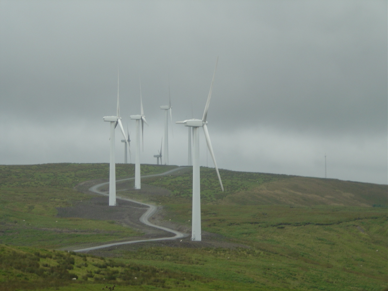
Cefn Croes Wind Farm

Cefn Croes is a wind farm in Ceredigion, Wales. It is located in the Cambrian Mountains on Cefn Croes mountain, 573m (1,880 ft) south of the A44 road between...

Hafren Forest

Hafren Forest lies north-west of Llanidloes, an ancient market town in Mid Wales. == Overview == The forest covers around 40 square kilometres (15 square...

Elvis Rock

The Elvis Rock is a rock alongside the A44 in Powys, Wales, near its border with Ceredigion. It is one of the most well known pieces of graffiti in Wales...

Nearby Amenities

Located within 500m of 52.429339,-3.6845085
Allt Pant-Mawr
Natural: peak
Lat/Long: 52.4290769/-3.6831964
The data included in this document is from www.openstreetmap.org. The data is made available under ODbL.

Have you been to Allt Pant-mawr?

Leave your review of Allt Pant-mawr below (or comments, questions and feedback).