Craig y Bychau
Hill, Mountain in Merionethshire
Wales
Craig y Bychau
The requested URL returned error: 429 Too Many Requests
If you have any feedback on the listing, please let us know in the comments section below.
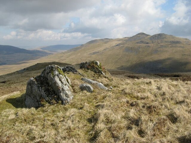
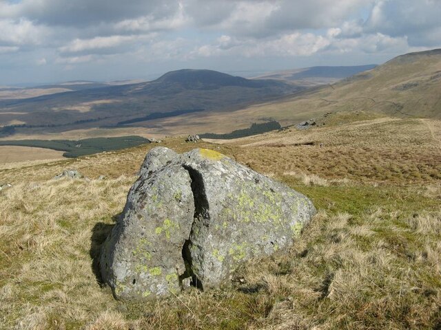
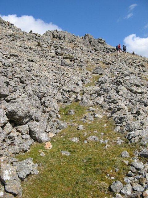
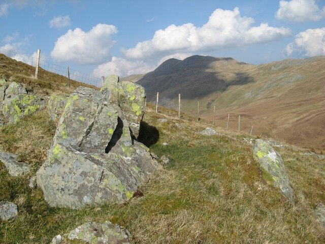
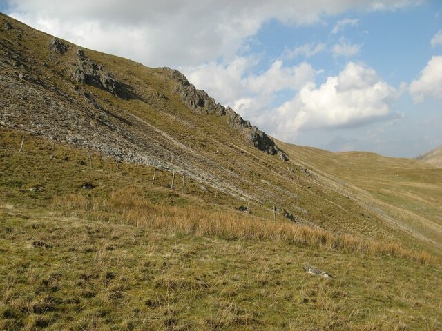
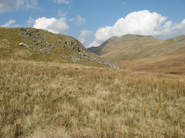
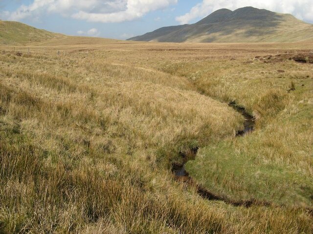
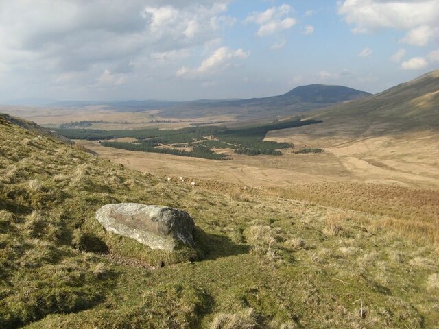
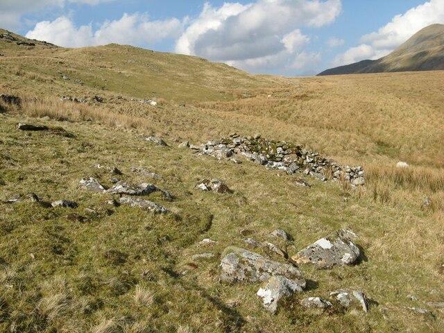
Craig y Bychau Images
Images are sourced within 2km of 52.90311/-3.7475882 or Grid Reference SH8235. Thanks to Geograph Open Source API. All images are credited.


Craig y Bychau is located at Grid Ref: SH8235 (Lat: 52.90311, Lng: -3.7475882)
Unitary Authority: Gwynedd
Police Authority: North Wales
What 3 Words
///pheasants.copiers.owner. Near Llanuwchllyn, Gwynedd
Nearby Locations
Related Wikis
Arenigs
Arenigs is an informal term for a group of mountains in central Snowdonia, in north Wales. They are not strictly defined, but normally include at least...

Foel Boeth
Foel Boeth is the twin top of Gallt y Daren in the southern half of the Snowdonia National Park in Gwynedd, North Wales, and forms part of the Arenig mountain...

Gallt y Daren
Gallt y Daren is a peak in the southern half of the Snowdonia National Park in Gwynedd, North Wales, and forms part of the Arenig mountain range. It is...

Arenig Fawr South Top
Arenig Fawr South Top is the twin top of Arenig Fawr in southern Snowdonia, North Wales. It is the second highest member of the Arenig range, being 18...
Nearby Amenities
Located within 500m of 52.90311,-3.7475882Have you been to Craig y Bychau?
Leave your review of Craig y Bychau below (or comments, questions and feedback).