Ackerlls Hill

Hill, Mountain in Devon South Hams

England

Ackerlls Hill

Approaching Dartington Hall The drive curves across the head of a side valley of the Dart before climbing to the hall and its gardens, although the Valley Field of the gardens, seen ahead, can also be accessed from this bend - see <a href="https://www.geograph.org.uk/photo/3741663">SX7962 : Garden entrance</a>. A ha-ha separates it from the field on the left. <span class="nowrap"><a title="https://historicengland.org.uk/listing/the-list/list-entry/1000453?section=official-listing" rel="nofollow ugc noopener" href="https://historicengland.org.uk/listing/the-list/list-entry/1000453?section=official-listing">Link</a><img style="margin-left:2px;" alt="External link" title="External link - shift click to open in new window" src="https://s1.geograph.org.uk/img/external.png" width="10" height="10"/></span> See also <a href="https://www.geograph.org.uk/photo/6483896">SX7962 : Field and trees, Dartington</a>.
Approaching Dartington Hall Credit: Derek Harper

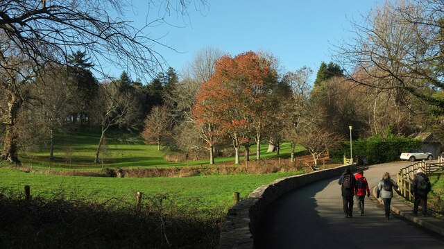
Ackerlls Hill is a prominent geographical feature located in Devon, England. It is categorized as a hill rather than a mountain, with an elevation of approximately 233 meters (764 feet). Situated within the Dartmoor National Park, Ackerlls Hill offers breathtaking panoramic views of the surrounding countryside, making it a popular destination for hikers, nature enthusiasts, and photographers.

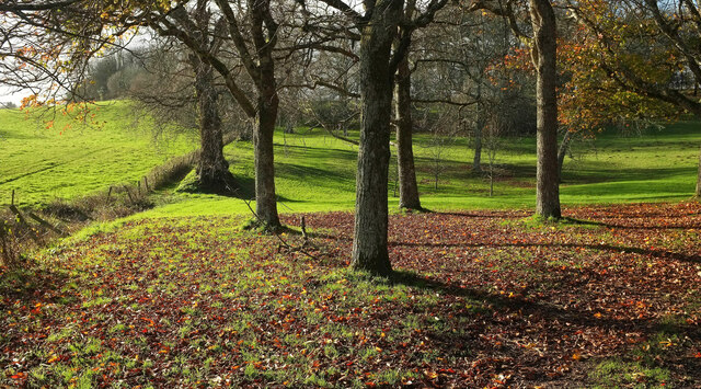
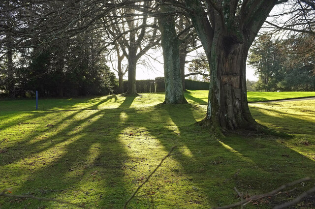
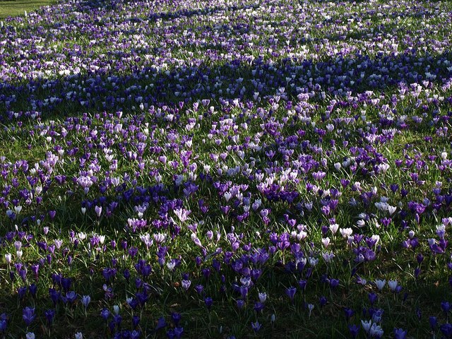
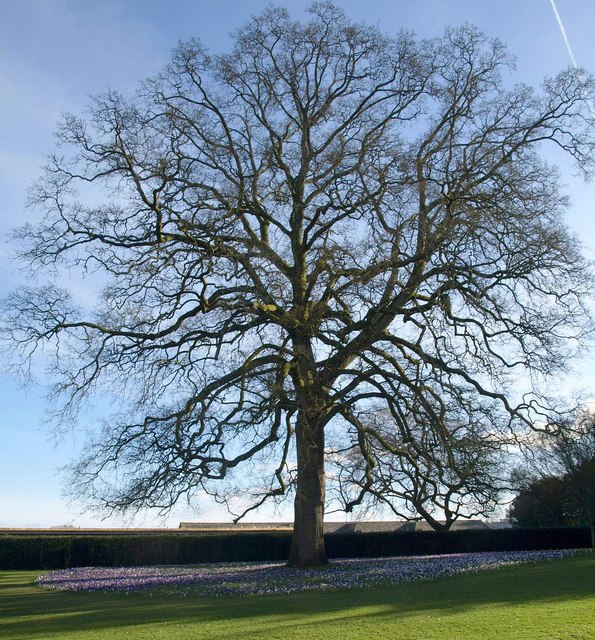
The hill is covered in a diverse range of vegetation, including heather, gorse, and grasses, which create a colorful and picturesque landscape. Its slopes are moderately steep, providing an enjoyable challenge for those venturing to the summit. The hill is made up of granite rocks, reflecting the region's geological history.

Ackerlls Hill is home to a variety of wildlife, including birds, such as skylarks and buzzards, and small mammals like rabbits and foxes. Visitors may also spot grazing sheep and ponies, which contribute to the area's pastoral charm.

There are several well-marked trails that lead to the top of Ackerlls Hill, allowing visitors to explore its surroundings. These trails offer stunning views of nearby tors, rolling hills, and the distant coastline. Additionally, the hill is part of a network of walking routes, making it accessible from various starting points.

Due to its location within Dartmoor National Park, Ackerlls Hill is subject to the park's regulations and guidelines. Visitors are encouraged to respect the natural environment and follow designated paths to preserve the area's delicate ecosystem.

If you have any feedback on the listing, please let us know in the comments section below.

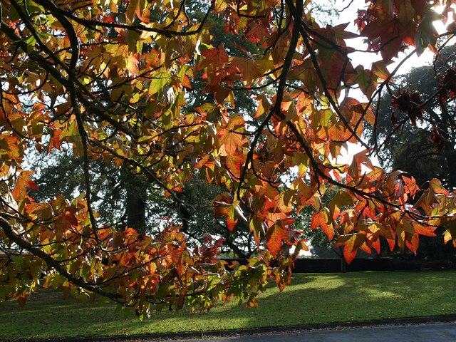
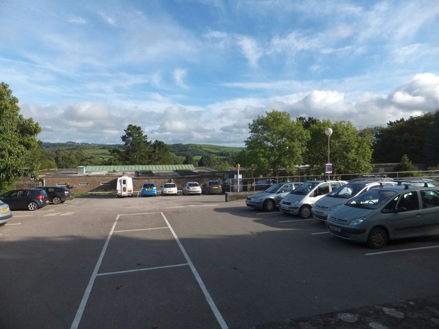
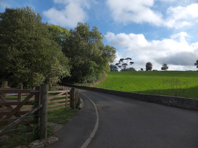
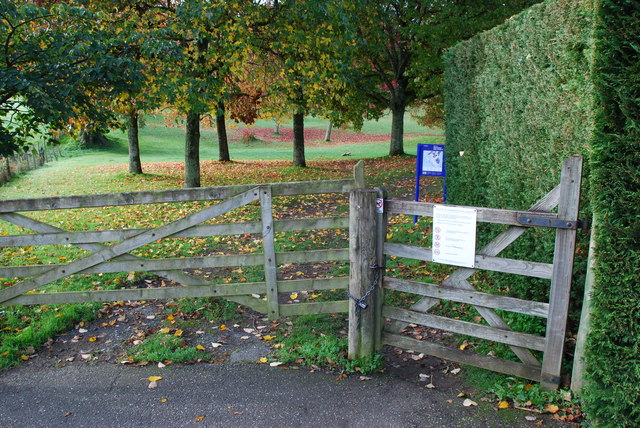
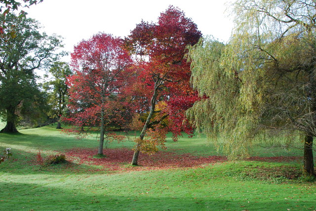
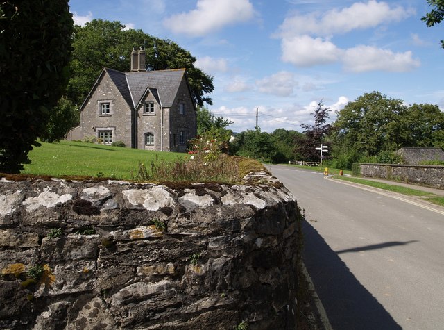
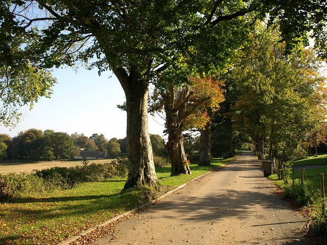
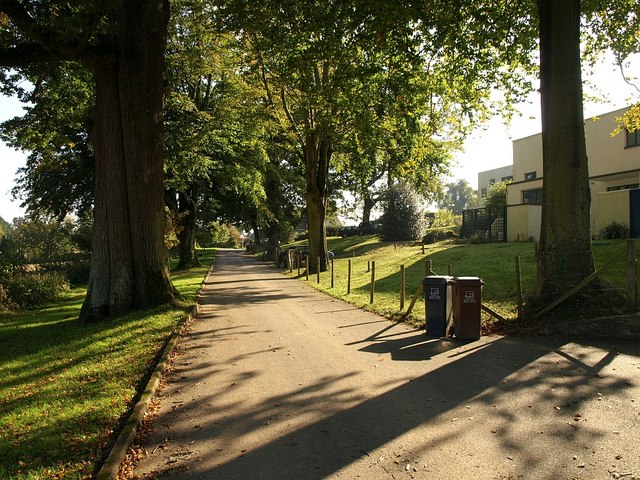
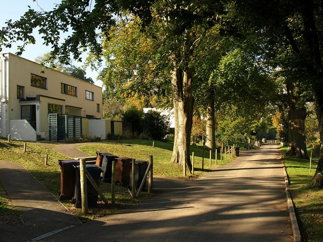
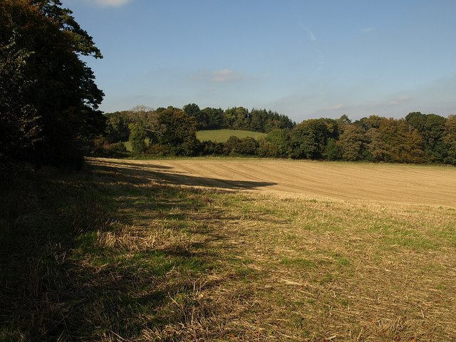
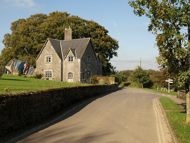
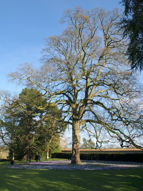
Ackerlls Hill Images

Images are sourced within 2km of 50.452841/-3.6651801 or Grid Reference SX8162. Thanks to Geograph Open Source API. All images are credited.

Approaching Dartington Hall The drive curves across the head of a side valley of the Dart before climbing to the hall and its gardens, although the Valley Field of the gardens, seen ahead, can also be accessed from this bend - see <a href="https://www.geograph.org.uk/photo/3741663">SX7962 : Garden entrance</a>. A ha-ha separates it from the field on the left. <span class="nowrap"><a title="https://historicengland.org.uk/listing/the-list/list-entry/1000453?section=official-listing" rel="nofollow ugc noopener" href="https://historicengland.org.uk/listing/the-list/list-entry/1000453?section=official-listing">Link</a><img style="margin-left:2px;" alt="External link" title="External link - shift click to open in new window" src="https://s1.geograph.org.uk/img/external.png" width="10" height="10"/></span> See also <a href="https://www.geograph.org.uk/photo/6483896">SX7962 : Field and trees, Dartington</a>.
Approaching Dartington Hall
The drive curves across the head of a side valley of the Dart before climbing to the hall and its gardens, although the Valley Field of the gardens, seen ahead, can also be accessed from this bend - see SX7962 : Garden entrance. A ha-ha separates it from the field on the left. LinkExternal link See also SX7962 : Field and trees, Dartington.
Valley field, Dartington Hall On the southern side of the gardens, which stretch up to the right. On the left is the ha-ha visible in <a href="https://www.geograph.org.uk/photo/7064596">SX7962 : Approaching Dartington Hall</a>.
Valley field, Dartington Hall
On the southern side of the gardens, which stretch up to the right. On the left is the ha-ha visible in SX7962 : Approaching Dartington Hall.
Dartington Space "Dartington Space is a complex on the main Dartington estate consisting of commercial tenants, Trust offices and performance space" <span class="nowrap"><a title="https://www.dartington.org/our-venue/commercial-property-lettings/" rel="nofollow ugc noopener" href="https://www.dartington.org/our-venue/commercial-property-lettings/">Link</a><img style="margin-left:2px;" alt="External link" title="External link - shift click to open in new window" src="https://s1.geograph.org.uk/img/external.png" width="10" height="10"/></span>
Dartington Space
"Dartington Space is a complex on the main Dartington estate consisting of commercial tenants, Trust offices and performance space" LinkExternal link
Trees and shadows, Dartington By the access road to the courtyard.
Trees and shadows, Dartington
By the access road to the courtyard.
Acer leaves, Dartington This maple is by the vehicle drive into the hall courtyard.
Acer leaves, Dartington
This maple is by the vehicle drive into the hall courtyard.
Car park at Dartington Hall One of the two large car parks for visitors to the estate.  This has views across the valley of the River Dart
Car park at Dartington Hall
One of the two large car parks for visitors to the estate. This has views across the valley of the River Dart
Woodland and grassland at Dartington Hall On the road to Totnes, the road passes from grassland to woodland between the Hall and the River Dart
Woodland and grassland at Dartington Hall
On the road to Totnes, the road passes from grassland to woodland between the Hall and the River Dart
Garden entrance This entrance is at the lower end of the gardens off Dartington Hall Drive.
Garden entrance
This entrance is at the lower end of the gardens off Dartington Hall Drive.
Autumn colours Lovely late Autumn colours in the Dartington Hall Gardens.
Autumn colours
Lovely late Autumn colours in the Dartington Hall Gardens.
Park Road, Dartington The very northeastern corner of the square; in fact, the cottage on the left and the signpost at the corner of Park Road and Warren Lane are a metre or so into <a href="https://www.geograph.org.uk/gridref/SX7963">SX7963</a>.
Park Road, Dartington
The very northeastern corner of the square; in fact, the cottage on the left and the signpost at the corner of Park Road and Warren Lane are a metre or so into SX7963.
Warren Lane, Dartington On the right-hand side of this tree-lined cul-de-sac, which has fine views across the Dart valley, is a series of 1930s buildings designed by William Lescaze. <span class="nowrap"><a title="http://www.dartington.org/property-management/warren-house-lane" rel="nofollow ugc noopener" href="http://www.dartington.org/property-management/warren-house-lane">Link</a><img style="margin-left:2px;" alt="External link" title="External link - shift click to open in new window" src="https://s1.geograph.org.uk/img/external.png" width="10" height="10"/></span>
Warren Lane, Dartington
On the right-hand side of this tree-lined cul-de-sac, which has fine views across the Dart valley, is a series of 1930s buildings designed by William Lescaze. LinkExternal link
Warren Lane, Dartington Another view along <a href="https://www.geograph.org.uk/photo/1010505">SX7963 : Warren Lane, Dartington</a>, with a couple of the houses described at <span class="nowrap"><a title="http://www.dartington.org/property-management/warren-house-lane" rel="nofollow ugc noopener" href="http://www.dartington.org/property-management/warren-house-lane">Link</a><img style="margin-left:2px;" alt="External link" title="External link - shift click to open in new window" src="https://s1.geograph.org.uk/img/external.png" width="10" height="10"/></span> .
Warren Lane, Dartington
Another view along SX7963 : Warren Lane, Dartington, with a couple of the houses described at LinkExternal link .
Warren Lane, Dartington A view in the opposite direction to <a href="https://www.geograph.org.uk/photo/1010515">SX7963 : Warren Lane, Dartington</a>. Busy day for the binmen.
Warren Lane, Dartington
A view in the opposite direction to SX7963 : Warren Lane, Dartington. Busy day for the binmen.
Field at Dartington A view along the side of <a href="https://www.geograph.org.uk/photo/1010535">SX7963 : Warren Lane, Dartington</a> of the field shown in <a href="https://www.geograph.org.uk/photo/1010672">SX8063 : Field at Dartington</a>, which straddles a gridline; this view therefore looks along the very eastern edge of the square to the field boundary adjoining <a href="https://www.geograph.org.uk/photo/1010468">SX8063 : Thistlepark Plantation</a> on the right.
Field at Dartington
A view along the side of SX7963 : Warren Lane, Dartington of the field shown in SX8063 : Field at Dartington, which straddles a gridline; this view therefore looks along the very eastern edge of the square to the field boundary adjoining SX8063 : Thistlepark Plantation on the right.
Cottage, Dartington A good day for getting the washing dry. Here Park Road swings down to the right; the road ahead, bending left, is <a href="https://www.geograph.org.uk/photo/1010535">SX7963 : Warren Lane, Dartington</a>.
Cottage, Dartington
A good day for getting the washing dry. Here Park Road swings down to the right; the road ahead, bending left, is SX7963 : Warren Lane, Dartington.
Turkey oak and crocus ring, Dartington One of the draws to the gardens at this time of year is the ring of Crocus vernis around this Quercus cerris at the east side of the Great Lawn. The ring is also seen in <a href="https://www.geograph.org.uk/photo/703876">SX7962 : Crocus at Dartington</a>.
Turkey oak and crocus ring, Dartington
One of the draws to the gardens at this time of year is the ring of Crocus vernis around this Quercus cerris at the east side of the Great Lawn. The ring is also seen in SX7962 : Crocus at Dartington.
Crocuses, Dartington Part of the ring shown in <a href="https://www.geograph.org.uk/photo/1190247">SX7962 : Turkey oak and crocus ring, Dartington</a>. The difficulty of getting a true colour in a photograph is shown by the sharp contrast in hue between the purple blooms in sun and shadow, when they appear blue; the sunlit shade is more accurate.
Crocuses, Dartington
Part of the ring shown in SX7962 : Turkey oak and crocus ring, Dartington. The difficulty of getting a true colour in a photograph is shown by the sharp contrast in hue between the purple blooms in sun and shadow, when they appear blue; the sunlit shade is more accurate.
Turkey oak and crocus ring, Dartington Another view of <a href="https://www.geograph.org.uk/photo/1190247">SX7962 : Turkey oak and crocus ring, Dartington</a>.
Turkey oak and crocus ring, Dartington
Show me another place!

Ackerlls Hill is located at Grid Ref: SX8162 (Lat: 50.452841, Lng: -3.6651801)

Administrative County: Devon

District: South Hams

Police Authority: Devon and Cornwall

What 3 Words

///chimp.portfolio.casino. Near Totnes, Devon

Related Wikis

Related Videos

Totnes Town Holiday Countryside Walk

WalangEditVlog #NoEditVlog #Totnes #devon #countryside.

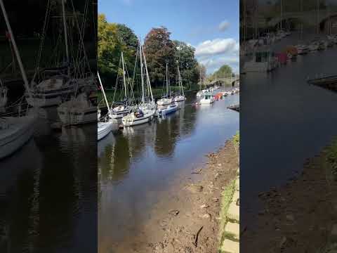
Rob Watson's Walk Around Dartington

Last weekend I visited friends at Soundart Radio in Devon, and I had a chance to walk into Totnes along the River Dart. I captured ...

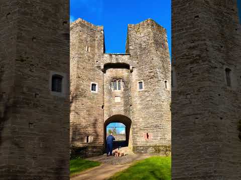
Barry Pomeroy Castle

castle#devon #travel #explore #photography #monument #around.

Nearby Amenities

Located within 500m of 50.452841,-3.6651801
Pub
The Pig and Whistle
Wikidata: Q79684319
Lat/Long: 50.4516764/-3.6651971
The data included in this document is from www.openstreetmap.org. The data is made available under ODbL.

Have you been to Ackerlls Hill?

Leave your review of Ackerlls Hill below (or comments, questions and feedback).