Silver Head Hill

Hill, Mountain in Devon South Hams

England

Silver Head Hill

All roads closed, Littlehempston The left hand fork takes you below a railway bridge, which merits two signs, one imperial, one metric; the right fork, as it says, avoids the bridge. Neither totally helpful in reaching the village this month, but they get you close enough to walk to the pub (the Tally Ho).
All roads closed, Littlehempston Credit: Derek Harper

Silver Head Hill is a prominent hill located in the county of Devon, England. It is situated in the southern part of the county, near the village of Axminster. Although referred to as a hill, its elevation of approximately 285 meters above sea level qualifies it as a mountain according to the recognized definition.

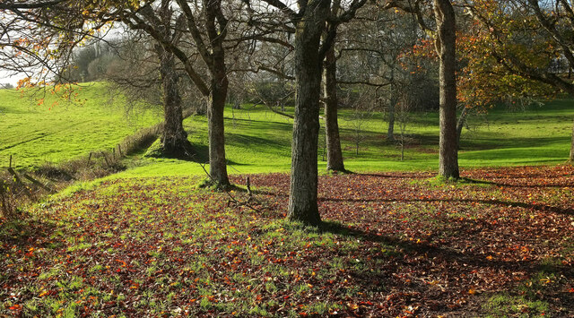
The hill is characterized by its distinctive silver-gray appearance, which is believed to be due to the presence of flint and chalk in the underlying rocks. This unique feature gives the hill its name - Silver Head Hill. The hill is mostly covered in grass and heather, providing a picturesque and natural landscape.

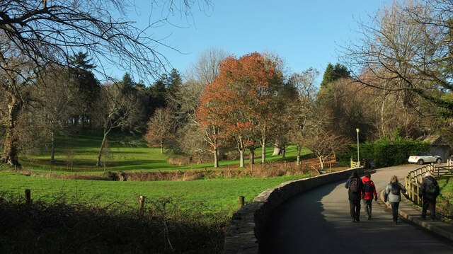
Silver Head Hill offers stunning panoramic views of the surrounding countryside. On a clear day, visitors can enjoy vistas extending as far as the English Channel to the south and the Blackdown Hills to the north. The hill is a popular destination for hikers and nature enthusiasts, who can explore the numerous walking trails that traverse the area.

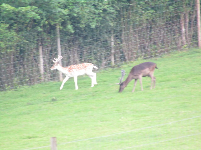
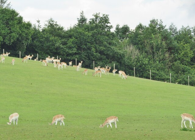
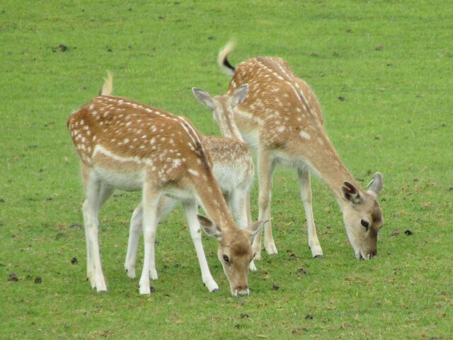
The hill is also home to a variety of wildlife, including several bird species, such as kestrels and buzzards, which can often be spotted soaring above. Additionally, the hill is known for its diverse plant life, with wildflowers and ferns dotting the landscape.

Overall, Silver Head Hill is a captivating natural landmark in Devon, offering visitors the opportunity to immerse themselves in the beauty of the English countryside while enjoying breathtaking views and a peaceful environment.

If you have any feedback on the listing, please let us know in the comments section below.

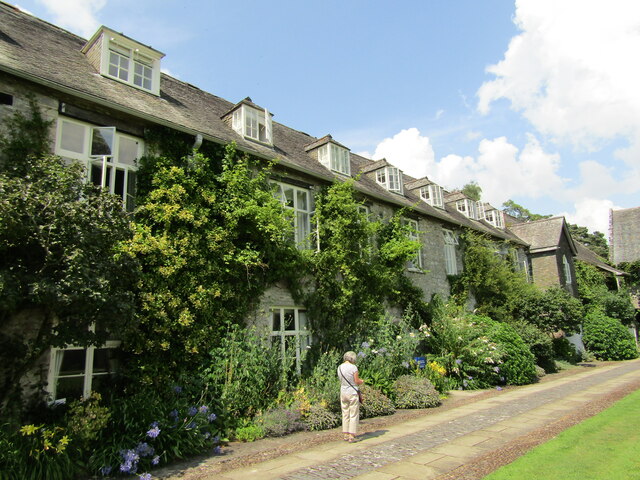
Silver Head Hill Images

Images are sourced within 2km of 50.449326/-3.6719728 or Grid Reference SX8162. Thanks to Geograph Open Source API. All images are credited.

All roads closed, Littlehempston The left hand fork takes you below a railway bridge, which merits two signs, one imperial, one metric; the right fork, as it says, avoids the bridge. Neither totally helpful in reaching the village this month, but they get you close enough to walk to the pub (the Tally Ho).
All roads closed, Littlehempston
The left hand fork takes you below a railway bridge, which merits two signs, one imperial, one metric; the right fork, as it says, avoids the bridge. Neither totally helpful in reaching the village this month, but they get you close enough to walk to the pub (the Tally Ho).
Roadworks, Littlehempston On our arrival at the further junction, a van blocked the lane towards the camera, necessitating a deviation to the junction shown in <a href="https://www.geograph.org.uk/photo/7692393">SX8162 : All roads closed, Littlehempston</a>.
Roadworks, Littlehempston
On our arrival at the further junction, a van blocked the lane towards the camera, necessitating a deviation to the junction shown in SX8162 : All roads closed, Littlehempston.
Roadworks, Littlehempston Looking the other way from <a href="https://www.geograph.org.uk/photo/7692448">SX8162 : Roadworks, Littlehempston</a>, with the Tally Ho pub on the left, and the east end of the grade I listed church of St John the Baptist <span class="nowrap"><a title="https://historicengland.org.uk/listing/the-list/list-entry/1108513?section=official-list-entry" rel="nofollow ugc noopener" href="https://historicengland.org.uk/listing/the-list/list-entry/1108513?section=official-list-entry">Link</a><img style="margin-left:2px;" alt="External link" title="External link - shift click to open in new window" src="https://s1.geograph.org.uk/img/external.png" width="10" height="10"/></span> beyond.
Roadworks, Littlehempston
Looking the other way from SX8162 : Roadworks, Littlehempston, with the Tally Ho pub on the left, and the east end of the grade I listed church of St John the Baptist LinkExternal link beyond.
Roadworks, Littlehempston Nice new pipes awaiting installation in the road past the Tally Ho pub.
Roadworks, Littlehempston
Nice new pipes awaiting installation in the road past the Tally Ho pub.
Dartington Hall "Dartington Trust is a centre for learning, arts, ecology and social justice based on a 1,200 acre estate near Totnes".
<span class="nowrap"><a title="www.dartington.org" rel="nofollow ugc noopener" href="http://www.dartington.org">Link</a><img style="margin-left:2px;" alt="External link" title="External link - shift click to open in new window" src="https://s1.geograph.org.uk/img/external.png" width="10" height="10"/></span>
Dartington Hall
"Dartington Trust is a centre for learning, arts, ecology and social justice based on a 1,200 acre estate near Totnes". LinkExternal link
Dartington Estate - Deer Park Fallow deer by Park Copse.
Dartington Hall's estate offers good walking opportunities in 880 acres with woodland, wildlife and the River Dart.
<span class="nowrap"><a title="www.dartington.org" rel="nofollow ugc noopener" href="http://www.dartington.org">Link</a><img style="margin-left:2px;" alt="External link" title="External link - shift click to open in new window" src="https://s1.geograph.org.uk/img/external.png" width="10" height="10"/></span>
Dartington Estate - Deer Park
Fallow deer by Park Copse. Dartington Hall's estate offers good walking opportunities in 880 acres with woodland, wildlife and the River Dart. LinkExternal link
Dartington Estate - Fallow Deer Dartington Hall's estate offers good walking opportunities in 880 acres with woodland, wildlife and the River Dart.
<span class="nowrap"><a title="www.dartington.org" rel="nofollow ugc noopener" href="http://www.dartington.org">Link</a><img style="margin-left:2px;" alt="External link" title="External link - shift click to open in new window" src="https://s1.geograph.org.uk/img/external.png" width="10" height="10"/></span>
Dartington Estate - Fallow Deer
Dartington Hall's estate offers good walking opportunities in 880 acres with woodland, wildlife and the River Dart. LinkExternal link
Field footpath on the approach to Dartington Hall near Totnes
Dartington Hall courtyard
Stream, Queen’s Marsh Heading towards the camera and Bidwell Brook. The wooden structure is the hide shown in <a href="https://www.geograph.org.uk/photo/5708275">SX7961 : Hide, Queen's Marsh</a> and relocated to the edge of the flood plain. Behind rises Dartington Hill Plantation.
Stream, Queen’s Marsh
Heading towards the camera and Bidwell Brook. The wooden structure is the hide shown in SX7961 : Hide, Queen's Marsh and relocated to the edge of the flood plain. Behind rises Dartington Hill Plantation.
Drive to Dartington Hall Winding up the west side of the Dart valley.
Drive to Dartington Hall
Winding up the west side of the Dart valley.
Drive from Dartington Hall A reverse view of <a href="https://www.geograph.org.uk/photo/7064503">SX7962 : Drive to Dartington Hall</a>.
Drive from Dartington Hall
Approaching Dartington Hall The drive curves across the head of a side valley of the Dart before climbing to the hall and its gardens, although the Valley Field of the gardens, seen ahead, can also be accessed from this bend - see <a href="https://www.geograph.org.uk/photo/3741663">SX7962 : Garden entrance</a>. A ha-ha separates it from the field on the left. <span class="nowrap"><a title="https://historicengland.org.uk/listing/the-list/list-entry/1000453?section=official-listing" rel="nofollow ugc noopener" href="https://historicengland.org.uk/listing/the-list/list-entry/1000453?section=official-listing">Link</a><img style="margin-left:2px;" alt="External link" title="External link - shift click to open in new window" src="https://s1.geograph.org.uk/img/external.png" width="10" height="10"/></span> See also <a href="https://www.geograph.org.uk/photo/6483896">SX7962 : Field and trees, Dartington</a>.
Approaching Dartington Hall
The drive curves across the head of a side valley of the Dart before climbing to the hall and its gardens, although the Valley Field of the gardens, seen ahead, can also be accessed from this bend - see SX7962 : Garden entrance. A ha-ha separates it from the field on the left. LinkExternal link See also SX7962 : Field and trees, Dartington.
Valley field, Dartington Hall On the southern side of the gardens, which stretch up to the right. On the left is the ha-ha visible in <a href="https://www.geograph.org.uk/photo/7064596">SX7962 : Approaching Dartington Hall</a>.
Valley field, Dartington Hall
On the southern side of the gardens, which stretch up to the right. On the left is the ha-ha visible in SX7962 : Approaching Dartington Hall.
Dartington Space "Dartington Space is a complex on the main Dartington estate consisting of commercial tenants, Trust offices and performance space" <span class="nowrap"><a title="https://www.dartington.org/our-venue/commercial-property-lettings/" rel="nofollow ugc noopener" href="https://www.dartington.org/our-venue/commercial-property-lettings/">Link</a><img style="margin-left:2px;" alt="External link" title="External link - shift click to open in new window" src="https://s1.geograph.org.uk/img/external.png" width="10" height="10"/></span>
Dartington Space
"Dartington Space is a complex on the main Dartington estate consisting of commercial tenants, Trust offices and performance space" LinkExternal link
Show me another place!

Silver Head Hill is located at Grid Ref: SX8162 (Lat: 50.449326, Lng: -3.6719728)

Administrative County: Devon

District: South Hams

Police Authority: Devon and Cornwall

What 3 Words

///impulsive.coupler.listed. Near Totnes, Devon

Related Wikis

Littlehempston

Littlehempston is a village and civil parish in the South Hams District of Devon in England consisting of 83 households, with a population of 207 in the...

Totnes (Riverside) railway station

Totnes (Riverside) railway station, previously known as Totnes Littlehempston railway station and Littlehempston Riverside railway station, is a railway...

Dartington College of Arts

Dartington College of Arts was a specialist arts college located at Dartington Hall in the south-west of England, offering courses at degree and postgraduate...

Soundart Radio

Soundart Radio 102.5 fm is an art radio station based in Dartington, Totnes, Devon, UK. Founded as a student radio station in 2006 by two graduates of...
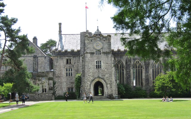
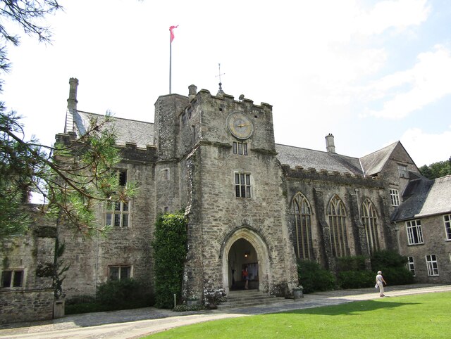
Dartington Hall

Dartington Hall in Dartington, near Totnes, Devon, England, is an historic house and country estate of 1,200 acres (4.9 km2) dating from medieval times...

Berry Pomeroy

Berry Pomeroy is a village and civil parish in the South Hams district of Devon, England, 2 miles (3 km) east of the town of Totnes. The parish is surrounded...

Totnes Signal Box

Totnes Signal Box is a Grade II listed former Great Western Railway signal box, located on Totnes railway station. It presently functions as a cafe....

Totnes railway station

Totnes railway station serves the towns of Totnes and Dartington in Devon, England. It was opened by the South Devon Railway Company in 1847. Situated...

Nearby Amenities

Located within 500m of 50.449326,-3.6719728
Littlehempston
Is In: Devon, England, UK
Place: village
Source: npe
Lat/Long: 50.4521008/-3.6717476
Ash Tree Cross
Place: locality
Lat/Long: 50.4525724/-3.6720919
Post Box
Brand: Royal Mail
Brand Wikidata: Q638098
Brand Wikipedia: en:Royal Mail
Collection Times: Mo-Fr 17:00; Sa 07:45; Su off
Drive Through: no
Operator: Royal Mail
Operator Wikidata: Q638098
Post Box Mounting: pier
Post Box Type: lamp
Ref: TQ9 65
Royal Cypher: EIIR
Royal Cypher Wikidata: Q33102113
Source: survey;streetlevel imagery;aerial imagery;local knowledge
Lat/Long: 50.4525139/-3.673186
Pub
Tally Ho
Wikidata: Q79684330
Lat/Long: 50.4519174/-3.6734066
Barrier: stile
Lat/Long: 50.4474785/-3.6739659
Barrier: kissing_gate
Lat/Long: 50.44882/-3.6749249
Barrier: stile
Lat/Long: 50.4514801/-3.6737596
Barrier: kissing_gate
Lat/Long: 50.4488869/-3.6750884
Historic: well
Lat/Long: 50.4473709/-3.6738318
Natural: spring
Lat/Long: 50.4475067/-3.6735633
Bus Stop
Bus: yes
Public Transport: platform
Lat/Long: 50.4506171/-3.6673269
Generator Method: photovoltaic
Generator Output Electricity: yes
Generator Source: solar
Generator Type: solar_photovoltaic_panel
Location: roof
Power: generator
Lat/Long: 50.4521766/-3.6729106
Generator Method: photovoltaic
Generator Output Electricity: yes
Generator Source: solar
Generator Type: solar_photovoltaic_panel
Location: roof
Power: generator
Lat/Long: 50.4533533/-3.6716231
The data included in this document is from www.openstreetmap.org. The data is made available under ODbL.

Have you been to Silver Head Hill?

Leave your review of Silver Head Hill below (or comments, questions and feedback).