Thieves Hill
Hill, Mountain in Lanarkshire
Scotland
Thieves Hill

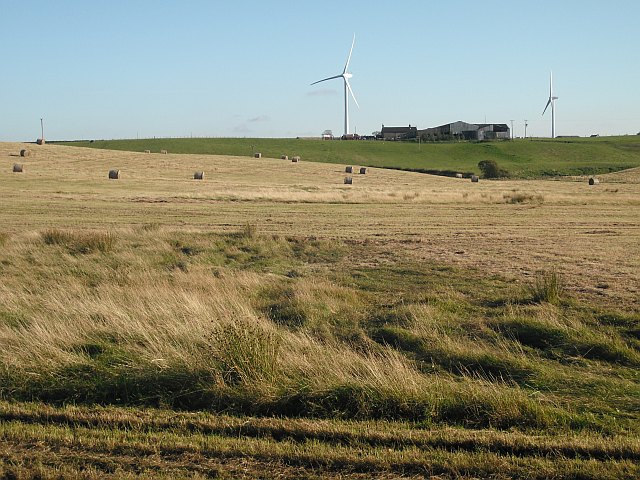
Thieves Hill, located in Lanarkshire, Scotland, is a prominent hill known for its historical significance and picturesque beauty. Situated near the village of Lesmahagow, it forms part of the Clyde Valley and offers breathtaking panoramic views of the surrounding countryside.
Rising to an elevation of approximately 1,000 feet (305 meters), Thieves Hill is composed of rugged terrain covered in heather and grass, making it a favorite destination for hikers and nature enthusiasts. The hill is accessible through various footpaths and trails, allowing visitors to explore its diverse flora and fauna.
One of the notable features of Thieves Hill is its intriguing name, which originates from its association with local folklore. Legend has it that the hill was a popular hiding spot for thieves and outlaws in the past, who took advantage of its strategic location and dense vegetation to evade capture. While there is little evidence to support these tales, the name has endured throughout the centuries, adding an air of mystery to the hill's allure.
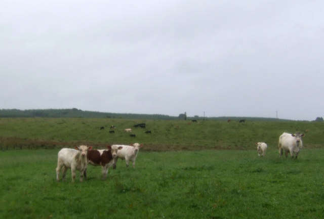
Aside from its historical and cultural significance, Thieves Hill is also home to a variety of wildlife. Birdwatchers can spot numerous species, including buzzards, kestrels, and peregrine falcons soaring through the skies. Additionally, the hill's slopes are inhabited by rabbits, foxes, and deer, further enhancing the natural charm of the area.
With its rich history, stunning vistas, and diverse wildlife, Thieves Hill is a captivating destination that offers visitors a unique blend of adventure and tranquility. Whether it's for a leisurely stroll, a challenging hike, or a moment of reflection amidst nature, this Lanarkshire landmark is sure to leave a lasting impression.
If you have any feedback on the listing, please let us know in the comments section below.
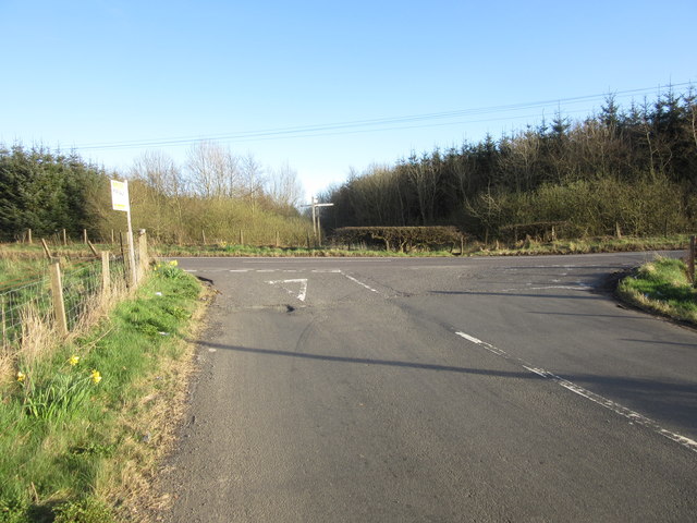
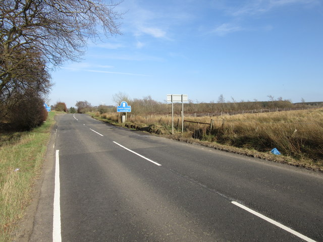
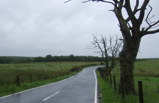
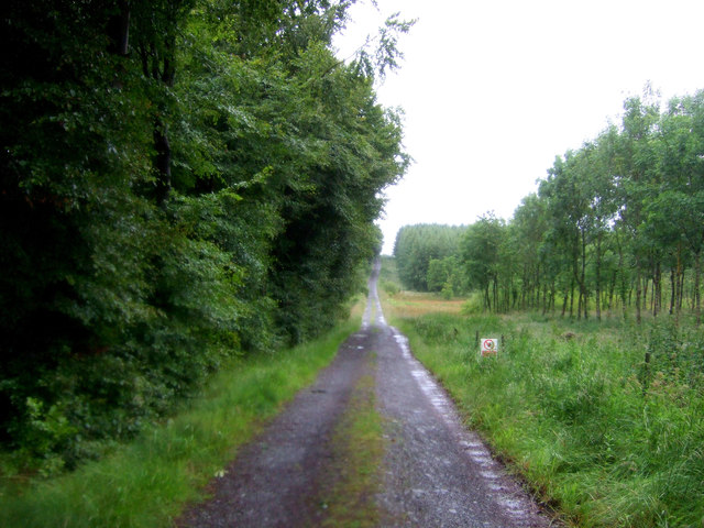
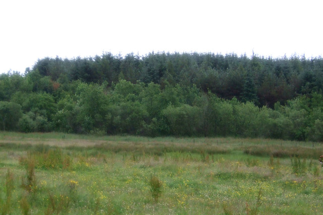
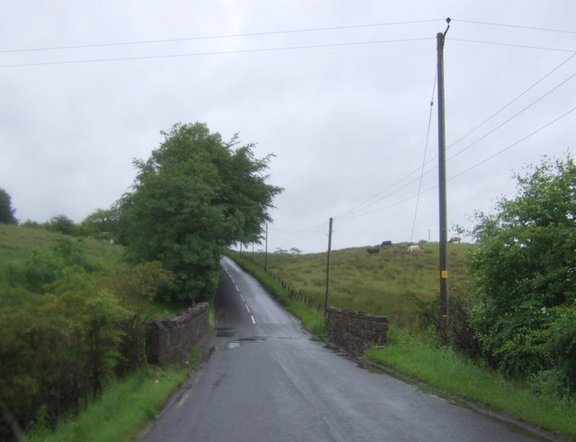
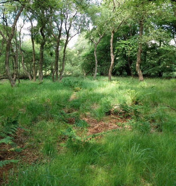
Thieves Hill Images
Images are sourced within 2km of 55.936217/-3.8924605 or Grid Reference NS8173. Thanks to Geograph Open Source API. All images are credited.


Thieves Hill is located at Grid Ref: NS8173 (Lat: 55.936217, Lng: -3.8924605)
Unitary Authority: North Lanarkshire
Police Authority: Lanarkshire
What 3 Words
///tastier.guardian.taskbar. Near Slamannan, Falkirk
Nearby Locations
Related Wikis
Upperton, North Lanarkshire
Upperton is a village in North Lanarkshire, Scotland, near Airdrie and Cumbernauld, about 20 miles (32 km) north-east of Glasgow. It lies close to the...

Central Belt
The Central Belt of Scotland is the area of highest population density within Scotland. Depending on the definition used, it has a population of between...
Longriggend
Longriggend is a village in North Lanarkshire, Scotland, with a population of approximately 200. == Grography == It is situated on moorland 8 km north...

Longriggend railway station
Longriggend railway station was a railway station serving the village of Longriggend, North Lanarkshire, Scotland. The station was part of the Slamannan...
Have you been to Thieves Hill?
Leave your review of Thieves Hill below (or comments, questions and feedback).