Auchentaggart Hill

Hill, Mountain in Dumfriesshire

Scotland

Auchentaggart Hill

Benchmark at Ryehill Benchmark on the corner of a building at Ryehill.
Benchmark at Ryehill Credit: Rab McMurdo

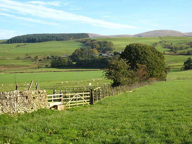
Auchentaggart Hill is a prominent hill located in Dumfriesshire, Scotland. With an elevation of approximately 557 meters (1827 feet), it stands as a significant landmark within the region. Situated in the Southern Uplands, it offers stunning panoramic views of the surrounding countryside.

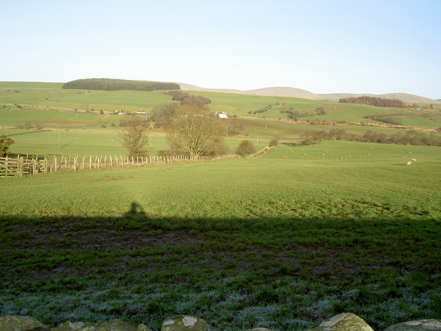
The hill is composed mainly of granite, giving it a rugged and distinctive appearance. Its slopes are covered in heather, grasses, and scattered boulders, creating a picturesque landscape. The terrain is moderately challenging, making it popular among outdoor enthusiasts who enjoy hiking and hillwalking.

At the summit of Auchentaggart Hill, visitors are rewarded with breathtaking vistas of the rolling hills, valleys, and nearby lochs. On a clear day, it is even possible to catch a glimpse of the Galloway Forest Park and the distant peaks of the Lake District in England.

The hill is home to a variety of wildlife, including red grouse, mountain hares, and various bird species. It is also known for its diverse plant life, with wildflowers and shrubs dotting its slopes.

Access to Auchentaggart Hill is relatively straightforward, as there are several trails leading to the summit. The most popular route starts from the village of Durisdeer, which is located a few miles away. It is advised to wear appropriate footwear and carry essential supplies, as the weather conditions can change rapidly.

Overall, Auchentaggart Hill offers a memorable outdoor experience, combining natural beauty, captivating views, and a sense of tranquility.

If you have any feedback on the listing, please let us know in the comments section below.

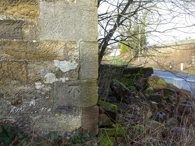
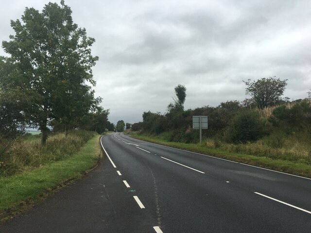
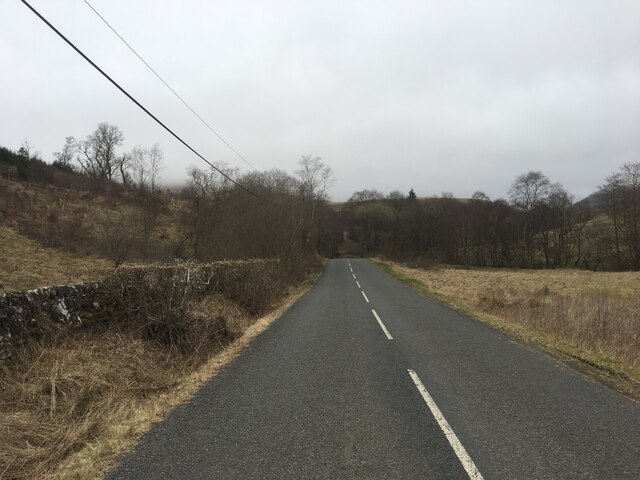
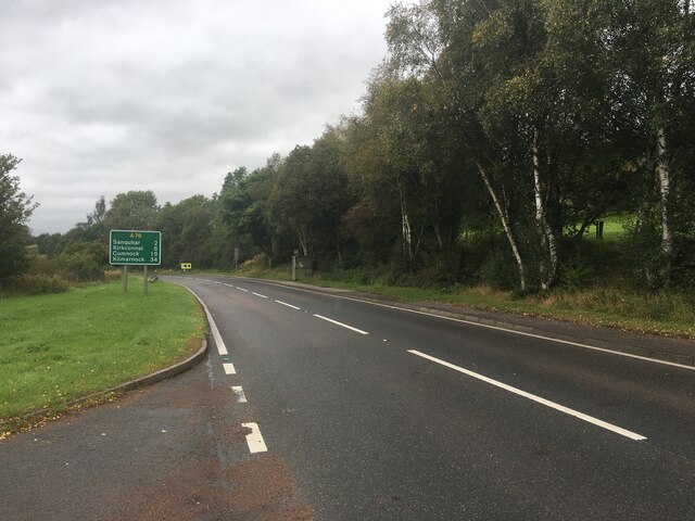
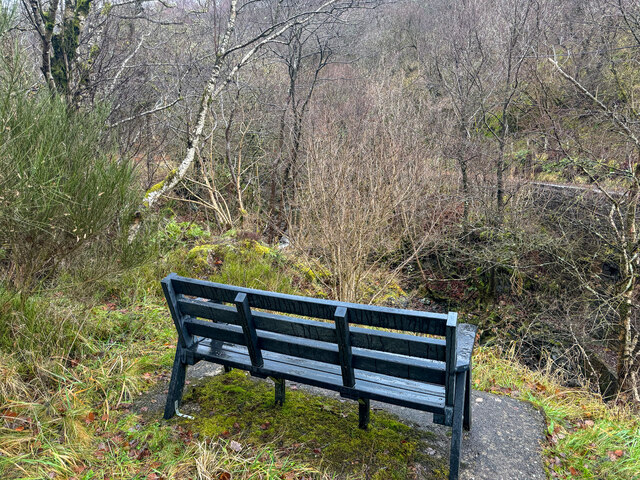
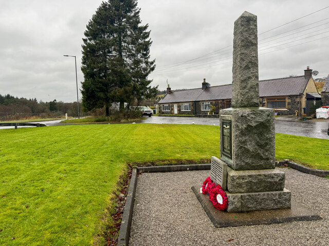
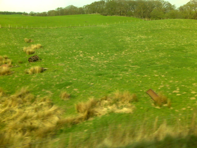
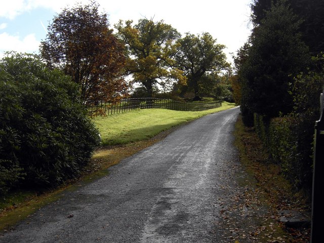
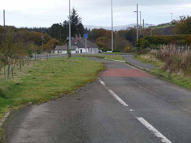
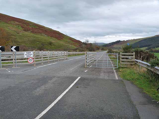
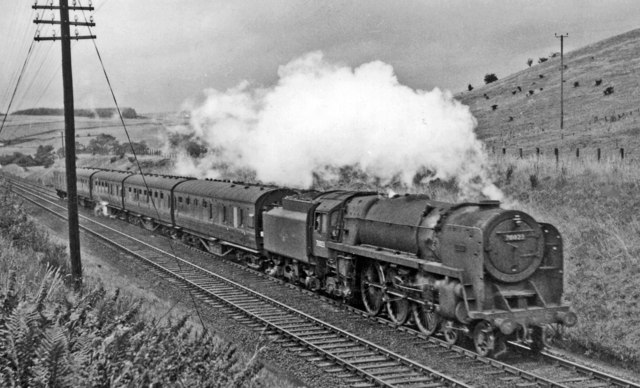
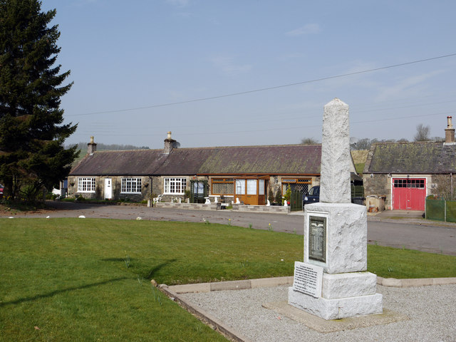
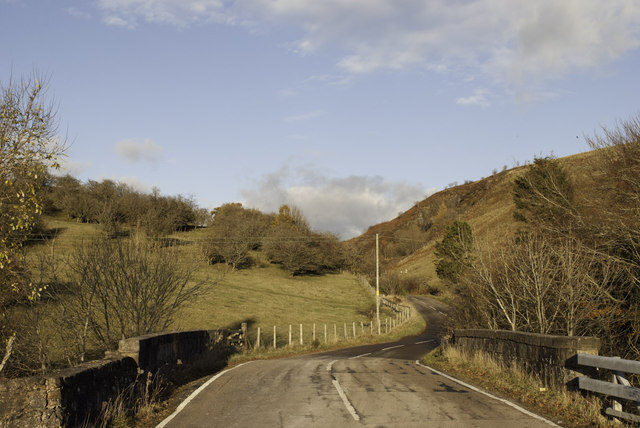
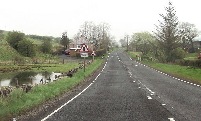
Auchentaggart Hill Images

Images are sourced within 2km of 55.357619/-3.8754467 or Grid Reference NS8108. Thanks to Geograph Open Source API. All images are credited.

Benchmark at Ryehill Benchmark on the corner of a building at Ryehill.
Benchmark at Ryehill
Benchmark on the corner of a building at Ryehill.
A76 towards Sanquhar
B797 towards Wanlockhead
A76 towards Sanquhar
Seat with not much of a view Geocaching is a type of global treasure hunt of people looking for caches, or hidden stashes of objects. Geocaching may also be described as a series of hide-and-seek games, where hiders provide online clues for seekers. Seekers use global positioning system (GPS) devices to find hidden caches
Seat with not much of a view
Geocaching is a type of global treasure hunt of people looking for caches, or hidden stashes of objects. Geocaching may also be described as a series of hide-and-seek games, where hiders provide online clues for seekers. Seekers use global positioning system (GPS) devices to find hidden caches
Mennock Remembers
Mennock Remembers
View from Goose Hill Farm
Old farm implements seen in a field
Nithsdale and Ryehill Farm Looking across Nithsdale from Goose Hill Farm. Lowther Hills in the distance.
Nithsdale and Ryehill Farm
Looking across Nithsdale from Goose Hill Farm. Lowther Hills in the distance.
Driveway to Eliock House The driveway which leads to Eliock House.
Driveway to Eliock House
The driveway which leads to Eliock House.
Down freight on the Nithsdale Anglo-Scottish main line View SE just south of Sanquhar, towards Dumfries and Carlisle on the ex-Glasgow & South Western Carlisle - Dumfries - Glasgow main line. The locomotive is Hughes/Fowler 5P4F 2-6-0 No. 42746. See also <a href="https://www.geograph.org.uk/photo/2165305">NS7908 : Down freight train in Nithsdale south of Sanquhar</a>. (I was on our honeymoon and my bride was very tolerant!)
Down freight on the Nithsdale Anglo-Scottish main line
View SE just south of Sanquhar, towards Dumfries and Carlisle on the ex-Glasgow & South Western Carlisle - Dumfries - Glasgow main line. The locomotive is Hughes/Fowler 5P4F 2-6-0 No. 42746. See also NS7908 : Down freight train in Nithsdale south of Sanquhar. (I was on our honeymoon and my bride was very tolerant!)
Down freight train in Nithsdale south of Sanquhar View SE from A76 where it accompanies the ex-Glasgow & South Western main line, Carlisle - Dumfries - Glasgow in Nithsdale. The train is a Class K local goods, headed by Hughes/Fowler 5P4F 2-6-0 No. 42919. In the distance is probably Cairnkinna Hill (1,819 ft.).
Down freight train in Nithsdale south of Sanquhar
View SE from A76 where it accompanies the ex-Glasgow & South Western main line, Carlisle - Dumfries - Glasgow in Nithsdale. The train is a Class K local goods, headed by Hughes/Fowler 5P4F 2-6-0 No. 42919. In the distance is probably Cairnkinna Hill (1,819 ft.).
End of the cycle route! A short way back along this length of old road at Mennock, a signpost indicates this as a cycle route to Kilmarnock about 50 km away.  But after 250 metres, cyclists are mercilessly tipped out onto the fast and busy A76.
End of the cycle route!
A short way back along this length of old road at Mennock, a signpost indicates this as a cycle route to Kilmarnock about 50 km away. But after 250 metres, cyclists are mercilessly tipped out onto the fast and busy A76.
Old road at Mennock A signpost nearby indicates a cycle route to Dumfries about 40 km away. But after following this length of the old road for no more than 2 km, cyclists are mercilessly tipped onto the fast and busy A76 at the south-eastern end of a short length of new road.
Old road at Mennock
A signpost nearby indicates a cycle route to Dumfries about 40 km away. But after following this length of the old road for no more than 2 km, cyclists are mercilessly tipped onto the fast and busy A76 at the south-eastern end of a short length of new road.
Glasgow - Carlisle stopping train near Sanquhar View NW, towards New Cumnock, Kilmarnock and Glasgow: ex-GSW Glasgow - Carlisle main line. The 12.15 Glasgow St Enoch - Carlisle is headed by BR Standard 'Britannia' 4-6-2 No. 70023 'Venus' (built 8/51, withdrawn 12/67).
Glasgow - Carlisle stopping train near Sanquhar
View NW, towards New Cumnock, Kilmarnock and Glasgow: ex-GSW Glasgow - Carlisle main line. The 12.15 Glasgow St Enoch - Carlisle is headed by BR Standard 'Britannia' 4-6-2 No. 70023 'Venus' (built 8/51, withdrawn 12/67).
War memorial and cottage at Mennock Mennock is a small village on the A76 south-east of the larger settlement of Sanquhar. The war memorial lies rather to the north-west of the village centre and has an unusual bronze plaque naming the World War One dead of the village, headed 'Weekly Despatch', as if to replicate a newspaper-like presentation.
War memorial and cottage at Mennock
Mennock is a small village on the A76 south-east of the larger settlement of Sanquhar. The war memorial lies rather to the north-west of the village centre and has an unusual bronze plaque naming the World War One dead of the village, headed 'Weekly Despatch', as if to replicate a newspaper-like presentation.
The start of the Mennock Pass
A76 at Ryehill
A76 at Ryehill
Show me another place!

Auchentaggart Hill is located at Grid Ref: NS8108 (Lat: 55.357619, Lng: -3.8754467)

Unitary Authority: Dumfries and Galloway

Police Authority: Dumfries and Galloway

What 3 Words

///excavated.late.cabs. Near Sanquhar, Dumfries & Galloway

Related Wikis

Mennock Lye Goods Depot

Mennock Lye Goods Depot or Mennock Siding was a railway freight facility located off the A76 in the hamlet of Mennock that lies circa two miles (three...

Mennock

Mennock is a small village or hamlet which lies 2 miles (3.2 km) south-east of Sanquhar on the A76, in Dumfriesshire, in the District Council Region of...

Sanquhar Castle

Sanquhar Castle, now a ruin, was built in the 13th century; the ruins are situated north east of Dumfries overlooking the River Nith. Situated on the southern...

Sanquhar

Sanquhar (Scots: Sanchar, Scottish Gaelic: Seanchair) is a village on the River Nith in Dumfries and Galloway, Scotland, north of Thornhill and west of...

Nearby Amenities

Located within 500m of 55.357619,-3.8754467
Auchentaggart Hill
Natural: peak
Lat/Long: 55.3570446/-3.8740793
Barrier: yes
Lat/Long: 55.36027/-3.8744686
Power: tower
Lat/Long: 55.3542694/-3.8751153
Power: pole
Lat/Long: 55.3548423/-3.8747313
Power: pole
Lat/Long: 55.3553283/-3.8744046
Power: pole
Lat/Long: 55.3558119/-3.8740545
Power: pole
Lat/Long: 55.3563944/-3.8736536
Power: pole
Lat/Long: 55.3569781/-3.8732526
Power: pole
Lat/Long: 55.3576522/-3.872805
Power: pole
Lat/Long: 55.3583239/-3.8723553
Power: pole
Lat/Long: 55.3589727/-3.8718885
Power: pole
Lat/Long: 55.3593043/-3.8716828
Power: pole
Lat/Long: 55.3596227/-3.8714579
Power: pole
Lat/Long: 55.3599181/-3.8705881
Power: pole
Lat/Long: 55.3602293/-3.8697119
The data included in this document is from www.openstreetmap.org. The data is made available under ODbL.

Have you been to Auchentaggart Hill?

Leave your review of Auchentaggart Hill below (or comments, questions and feedback).