Cnoc Glas

Hill, Mountain in Sutherland

Scotland

Cnoc Glas

A836, looking East
A836, looking East Credit: Carron K

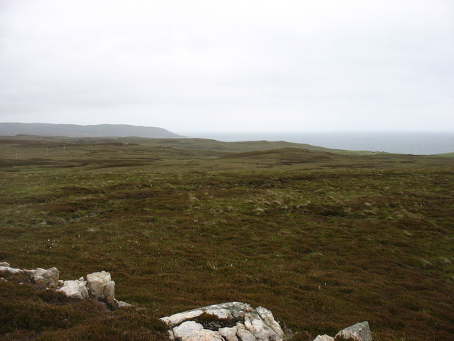
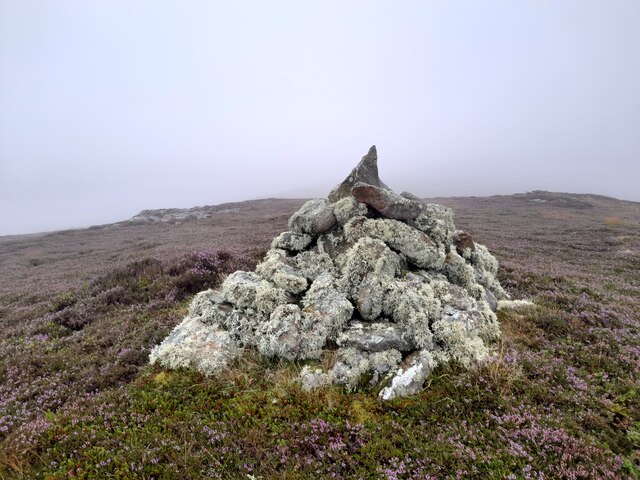
Cnoc Glas, located in Sutherland, Scotland, is a prominent hill/mountain that stands at an elevation of 879 meters (2,884 feet) above sea level. It is part of the larger range known as the Foinaven Group, which is renowned for its rugged and beautiful landscapes. Cnoc Glas is situated to the southwest of Foinaven, the highest peak in the group.

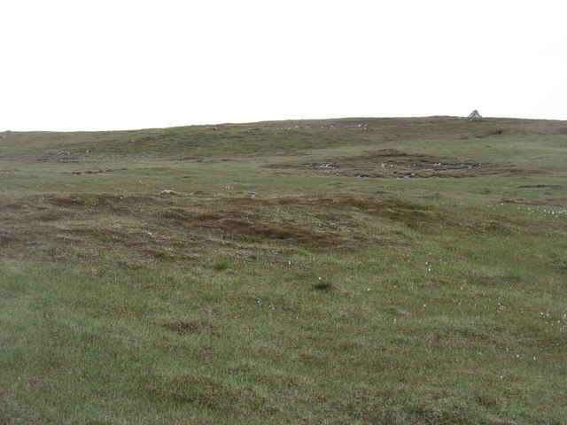
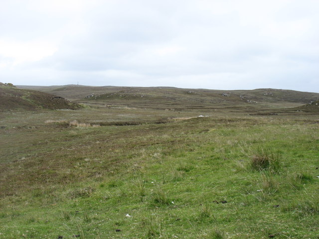
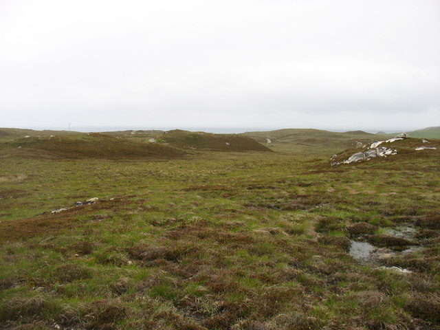
The hill/mountain is characterized by its distinctive pyramidal shape, with steep slopes that are covered in heather and grass. Its summit offers breathtaking panoramic views of the surrounding area, including nearby lochs, valleys, and other peaks such as Arkle and Ben Stack. On a clear day, it is even possible to see the coastline and the distant islands of the Inner Hebrides.

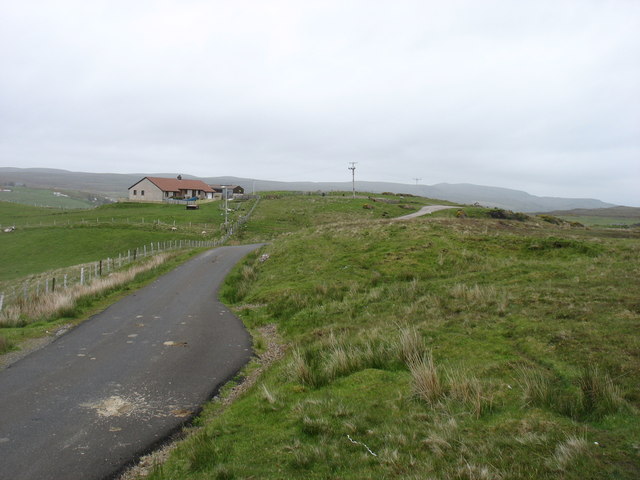
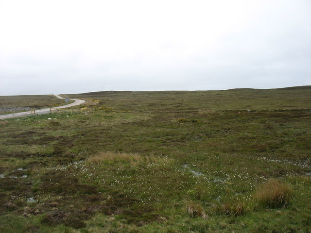
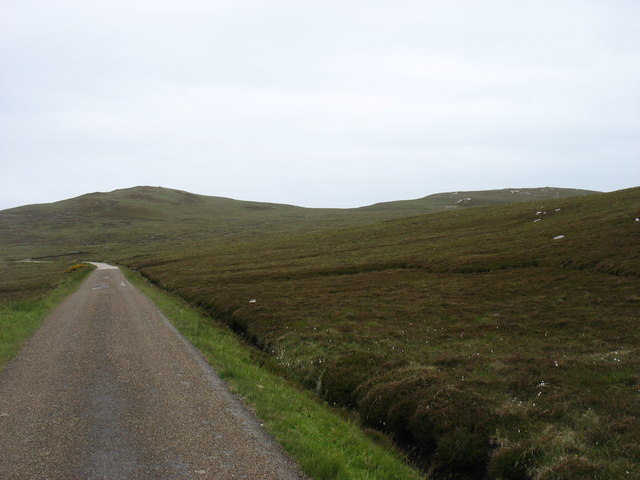
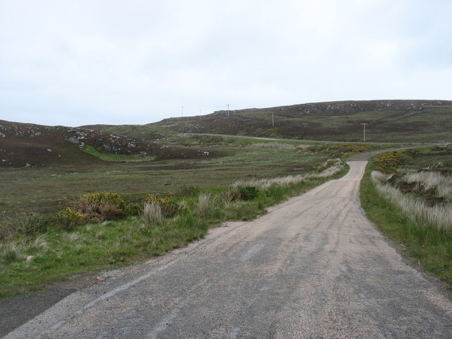
Cnoc Glas is a popular destination for hikers, mountaineers, and outdoor enthusiasts due to its challenging yet rewarding nature. There are several routes to reach the summit, varying in difficulty and length. The most common approach starts from the small village of Rhiconich, where a well-defined path leads up the hillside.

Due to its remote location, Cnoc Glas provides a sense of solitude and tranquility for those who venture to its summit. It is also home to a variety of wildlife, including deer, birds of prey, and rare plant species. Nature lovers can enjoy observing the flora and fauna as they make their way up the hillside.

Overall, Cnoc Glas is a majestic and awe-inspiring hill/mountain that offers a true Scottish Highland experience for outdoor enthusiasts, providing both physical challenges and stunning natural beauty.

If you have any feedback on the listing, please let us know in the comments section below.
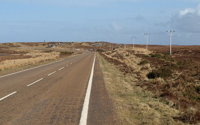
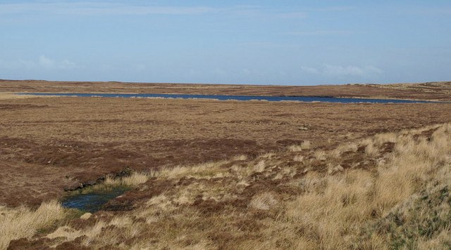
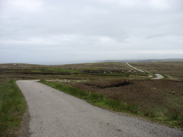
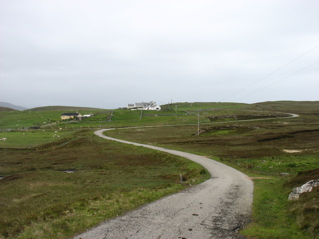
Cnoc Glas Images

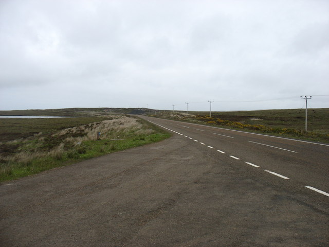
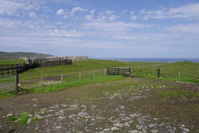
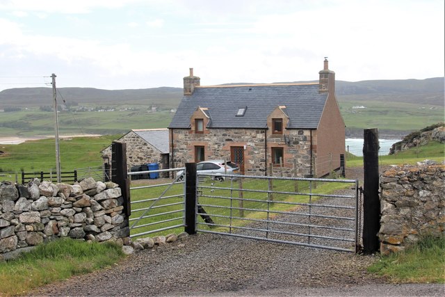
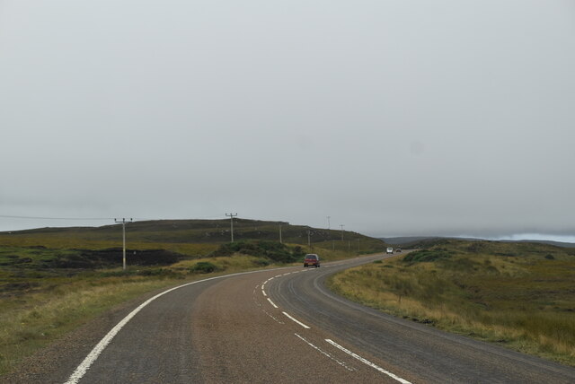
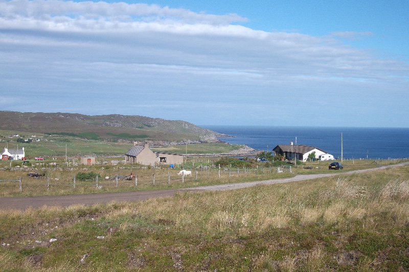
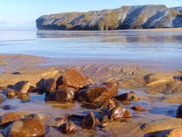
Images are sourced within 2km of 58.571801/-4.0454161 or Grid Reference NC8166. Thanks to Geograph Open Source API. All images are credited.

A836, looking East
A836, looking East
Lochan Ealach Seen across flat moor next to the A836.
Lochan Ealach
Seen across flat moor next to the A836.
The lane to Aultivullin Looking back towards the Strathy Point road. This is not a lane on which you would wish to meet other traffic, as passing places are few and far between.
The lane to Aultivullin
Looking back towards the Strathy Point road. This is not a lane on which you would wish to meet other traffic, as passing places are few and far between.
Aultivullin, Strathy Point This small complex of cottages offers self-catering accommodation. Supplies are some distance away!
Aultivullin, Strathy Point
This small complex of cottages offers self-catering accommodation. Supplies are some distance away!
Hillside above Aultivullin Not very exciting country, but typical of the square.
Hillside above Aultivullin
Not very exciting country, but typical of the square.
Rough country near Strathy Point
The lane to Strathy Point Looking back towards Strathy and the main A836.
The lane to Strathy Point
Looking back towards Strathy and the main A836.
Country by the A836 The road, here with two lanes (though it changes to 'single track with passing places' a few miles ahead), is seen on the left.
Country by the A836
The road, here with two lanes (though it changes to 'single track with passing places' a few miles ahead), is seen on the left.
Country near Strathy Point
Cnoc Glas, 108m, above Brawl The cairn on Cnoc Dubh, 115m, is just visible to the right of the photo.
Cnoc Glas, 108m, above Brawl
The cairn on Cnoc Dubh, 115m, is just visible to the right of the photo.
The country above Aultiphurst
Part of the old A836 Before it was realigned and converted to a two-lane road.
Part of the old A836
Before it was realigned and converted to a two-lane road.
The A836 heads east From here the A836 is a good two-lane road. But to the west (behind the camera) it soon deteriorates to a slow 'single-track road with passing places'.
The A836 heads east
From here the A836 is a good two-lane road. But to the west (behind the camera) it soon deteriorates to a slow 'single-track road with passing places'.
Fank, Fleuchary At the end of one of the spur roads.
Fank, Fleuchary
At the end of one of the spur roads.
Nicely renovated house at Fleuchary Overlooking Armadale Bay.
Nicely renovated house at Fleuchary
Overlooking Armadale Bay.
Summit Cairn, Ben Ainnie A small cairn of stones marking the top of a hill of no great significance in height but still a fine viewpoint. Just not in thick mist!
Summit Cairn, Ben Ainnie
A small cairn of stones marking the top of a hill of no great significance in height but still a fine viewpoint. Just not in thick mist!
NC500 The A836 runs 122 miles from Dornoch Bridge to John O' Groats <a href="https://www.geograph.org.uk/photo/7086916">ND3872 : A836, John O' Groats</a>. Much of it is still single track.
<span class="nowrap"><a title="https://www.sabre-roads.org.uk/wiki/index.php?title=A836" rel="nofollow ugc noopener" href="https://www.sabre-roads.org.uk/wiki/index.php?title=A836">Link</a><img style="margin-left:2px;" alt="External link" title="External link - shift click to open in new window" src="https://s1.geograph.org.uk/img/external.png" width="10" height="10"/></span>
NC500
The A836 runs 122 miles from Dornoch Bridge to John O' Groats ND3872 : A836, John O' Groats. Much of it is still single track. LinkExternal link
A836 The A836 runs 122 miles from Dornoch Bridge to John O' Groats <a href="https://www.geograph.org.uk/photo/7086916">ND3872 : A836, John O' Groats</a>. Much of it is still single track.
<span class="nowrap"><a title="https://www.sabre-roads.org.uk/wiki/index.php?title=A836" rel="nofollow ugc noopener" href="https://www.sabre-roads.org.uk/wiki/index.php?title=A836">Link</a><img style="margin-left:2px;" alt="External link" title="External link - shift click to open in new window" src="https://s1.geograph.org.uk/img/external.png" width="10" height="10"/></span>
A836
The A836 runs 122 miles from Dornoch Bridge to John O' Groats ND3872 : A836, John O' Groats. Much of it is still single track. LinkExternal link
Show me another place!

Cnoc Glas is located at Grid Ref: NC8166 (Lat: 58.571801, Lng: -4.0454161)

Unitary Authority: Highland

Police Authority: Highlands and Islands

What 3 Words

///winemaker.rushed.shapes. Near Reay, Highland

Nearby Locations

Brawl Cnoc Dubh Cnoc Glas

Related Wikis

Aultiphurst

Aultiphurst (Scottish Gaelic: Allt a' Phuirt), in Strathy, Sutherland, is a village in the Scottish HighlandsThe name Aultiphurst is a misspelling of Allt...

Totegan

Totegan is a hamlet in Sutherland, Scotland and is one of the most northerly settlements in mainland Scotland. The nearest main road to the hamlet is the...

Lednagullin

Lednagullin is a village on the south east shore of Armadale Bay in Sutherland, Scottish Highlands and is in the Scottish council area of Highland....

Armadale, Sutherland

Armadale (Scottish Gaelic: Armadal, Scots: Airmadale) is a small village on the north coast of Scotland, in the council area of Highland. The village is...

Strathy

Strathy (from Scottish Gaelic Srathaidh 'place of the strath') is a scattered community in Sutherland in the Scottish Highlands. The settlement emerged...

Portskerra

Portskerra (from Scottish Gaelic Port Sgeire 'skerry harbour') is a hamlet that overlooks Melvich Bay in Sutherland, Highland, Scotland. The village of...

Melvich

Melvich (from Norse Mel Vik – "sand dune bay" – rendered into Scottish Gaelic: A' Mhealbhaich) is a village in the county of Sutherland on the north coast...

Swordly

Swordly (Scottish Gaelic: Suardailigh) is an extremely remote hamlet, located on the Bay of Swordly, on the north coastline of Scotland in Sutherland...

Nearby Amenities

Located within 500m of 58.571801,-4.0454161
Source: PGS
Lat/Long: 58.5757259/-4.0495544
Source: PGS
Lat/Long: 58.5754524/-4.0493581
Source: PGS
Lat/Long: 58.5752891/-4.0494761
Source: PGS
Lat/Long: 58.5750261/-4.0494568
Source: PGS
Lat/Long: 58.5748354/-4.0493559
Source: PGS
Lat/Long: 58.574756/-4.0489332
Source: PGS
Lat/Long: 58.5748628/-4.0486865
Source: PGS
Lat/Long: 58.5747834/-4.0483753
Source: PGS
Lat/Long: 58.5745171/-4.0483861
Source: PGS
Lat/Long: 58.5743241/-4.0484719
Source: PGS
Lat/Long: 58.5738369/-4.0481929
Source: PGS
Lat/Long: 58.5735656/-4.0484504
Source: PGS
Lat/Long: 58.5732845/-4.0483142
Source: PGS
Lat/Long: 58.5732993/-4.0477874
Source: PGS
Lat/Long: 58.5730378/-4.0472365
Source: PGS
Lat/Long: 58.5729944/-4.0473116
Source: PGS
Lat/Long: 58.5726946/-4.0480105
Source: PGS
Lat/Long: 58.5725105/-4.0478496
Source: PGS
Lat/Long: 58.5723321/-4.0477531
Source: PGS
Lat/Long: 58.5722638/-4.0476028
Source: PGS
Lat/Long: 58.5716014/-4.0479387
Source: PGS
Lat/Long: 58.5712764/-4.0491907
Source: PGS
Lat/Long: 58.5709704/-4.0498452
Source: PGS
Lat/Long: 58.5710593/-4.0503816
Source: PGS
Lat/Long: 58.5715833/-4.0512614
Source: PGS
Lat/Long: 58.5709799/-4.0517088
Source: PGS
Lat/Long: 58.5706165/-4.052169
Source: PGS
Lat/Long: 58.5706649/-4.0521948
Source: PGS
Lat/Long: 58.5702632/-4.0531282
Source: PGS
Lat/Long: 58.5701125/-4.0531175
Source: PGS
Lat/Long: 58.5699553/-4.0532677
Brawl
Name Gd: Breitheal
Place: hamlet
Lat/Long: 58.5682234/-4.0474053
Power: pole
Lat/Long: 58.5689323/-4.0466277
Power: pole
Lat/Long: 58.5683645/-4.0466229
Power: pole
Lat/Long: 58.5677501/-4.0466253
The data included in this document is from www.openstreetmap.org. The data is made available under ODbL.

Have you been to Cnoc Glas?

Leave your review of Cnoc Glas below (or comments, questions and feedback).