A' Chrois

Hill, Mountain in Perthshire

Scotland

A' Chrois

Reservoir south-east of Kenmore Beside the scenic hill road from Kenmore to Amulree.
Reservoir south-east of Kenmore Credit: G Laird

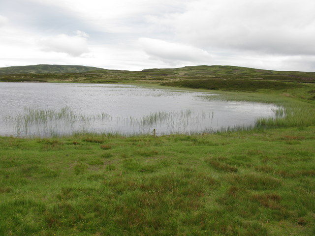
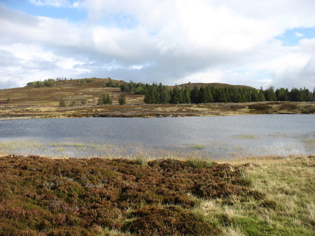
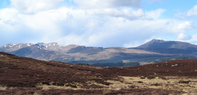
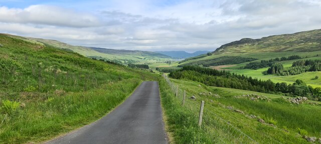
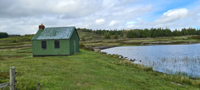
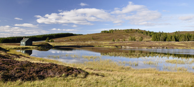
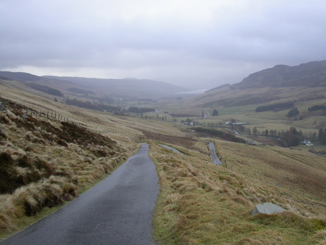
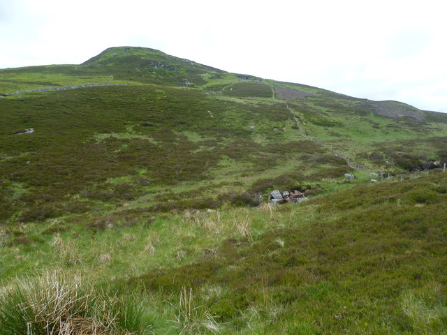
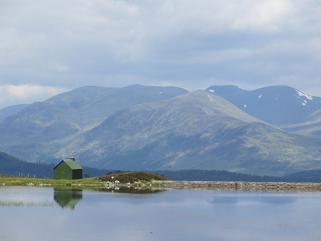
A' Chrois, located in Perthshire, Scotland, is a prominent hill/mountain that stands at an elevation of 712 meters (2,336 feet). It is situated within the Loch Lyon and Loch Tay region, offering breathtaking views of the surrounding landscapes. A' Chrois is part of the Ben Lawers National Nature Reserve, which is renowned for its rich biodiversity and stunning natural beauty.

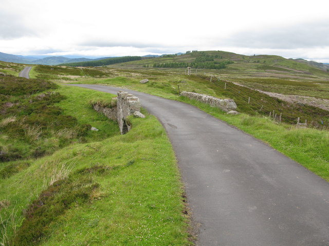
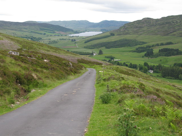
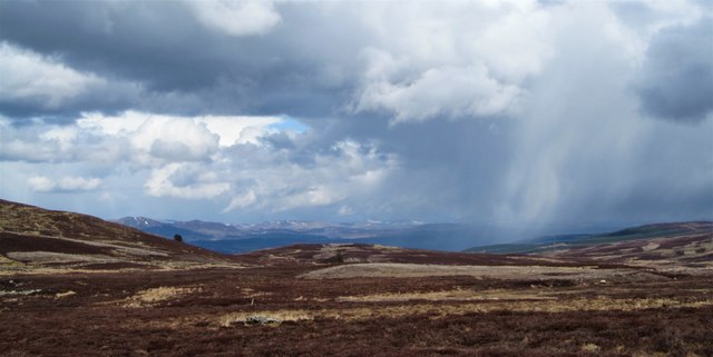
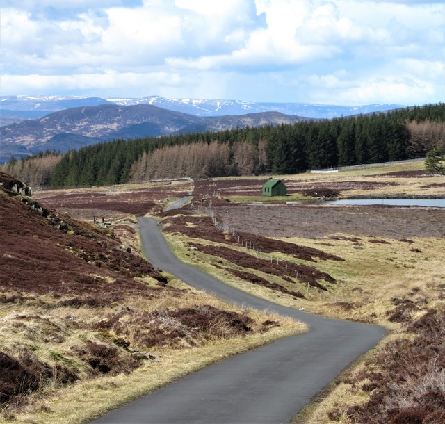
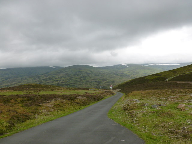
The ascent to A' Chrois is a popular choice for hikers and mountaineers due to its relatively moderate difficulty level. The hill/mountain is accessible from several starting points, including the village of Killin and the Ben Lawers car park. The journey to the summit presents a challenging yet rewarding experience, with a well-defined path leading through heather-covered slopes and rocky terrain.

At the top of A' Chrois, visitors can enjoy panoramic vistas of the surrounding mountains, including Ben Lawers, Meall a' Choire Leith, and Meall Corranaich. On clear days, it is even possible to catch glimpses of Loch Tay and the Trossachs National Park in the distance.

A' Chrois is known for its diverse flora and fauna, with a variety of plant species including heather, bilberry, and crowberry dotting the landscape. Wildlife enthusiasts may also spot red deer, mountain hares, and numerous bird species, such as golden eagles and ptarmigans, during their trek.

Overall, A' Chrois in Perthshire offers outdoor enthusiasts an opportunity to immerse themselves in stunning natural surroundings while enjoying a challenging yet rewarding hike to its summit.

If you have any feedback on the listing, please let us know in the comments section below.
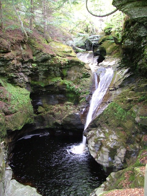
A' Chrois Images

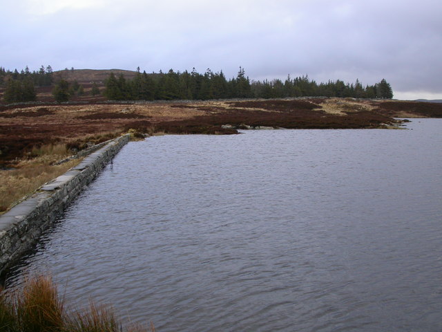
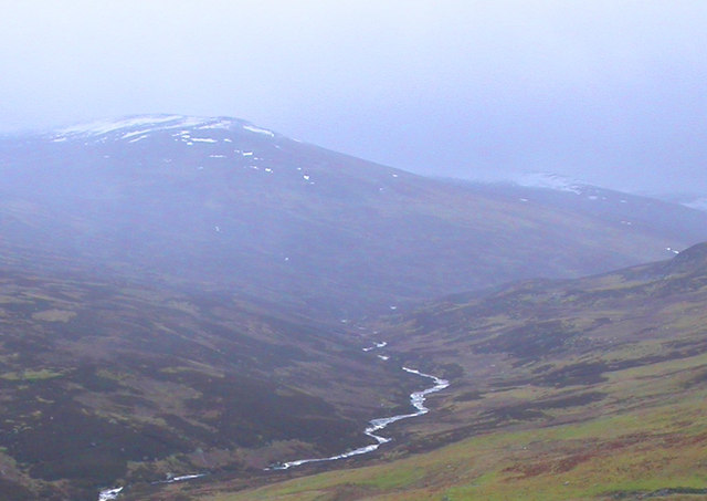
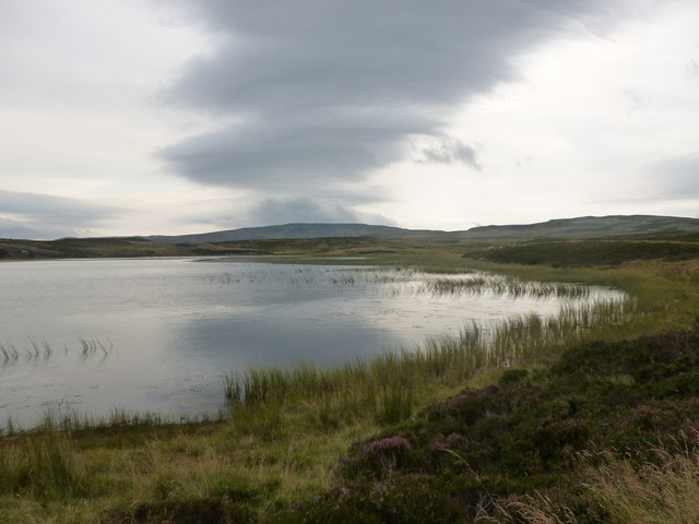
Images are sourced within 2km of 56.555375/-3.9355965 or Grid Reference NN8142. Thanks to Geograph Open Source API. All images are credited.

Reservoir south-east of Kenmore Beside the scenic hill road from Kenmore to Amulree.
Reservoir south-east of Kenmore
Beside the scenic hill road from Kenmore to Amulree.
Small Bridge on the Kenmore to Amulree Road The bridge crosses a small burn in high moorland terrain. This section of the scenic road also forms part of the Rob Roy Way.
A warning sign at the start of the road reminds drivers that this road is not cleared of snow in winter.
Small Bridge on the Kenmore to Amulree Road
The bridge crosses a small burn in high moorland terrain. This section of the scenic road also forms part of the Rob Roy Way. A warning sign at the start of the road reminds drivers that this road is not cleared of snow in winter.
Steep Hill on the Kenmore to Amulree Road Looking towards Glen Quaich and Loch Freuchie.
Steep Hill on the Kenmore to Amulree Road
Looking towards Glen Quaich and Loch Freuchie.
Minor lochan above Kenmore To be precise, this is (or was) a small reservoir: there is a dam off to the left of this photo.
Minor lochan above Kenmore
To be precise, this is (or was) a small reservoir: there is a dam off to the left of this photo.
View towards the Tay valley The heathery moorland that slopes down towards Kenmore and Loch Tay. The skyline is dominated by the sharp peak of Schiehallion.
View towards the Tay valley
The heathery moorland that slopes down towards Kenmore and Loch Tay. The skyline is dominated by the sharp peak of Schiehallion.
Passing shower over the hills A day of clear conditions in the Central Highlands, but also one with occasional showers, like this one here seen in the general direction of Aberfeldy.
Passing shower over the hills
A day of clear conditions in the Central Highlands, but also one with occasional showers, like this one here seen in the general direction of Aberfeldy.
The road to Kenmore This is a favourite little road that follows the quiet valley of Glen Quaich before climbing steeply over the hills towards Kenmore, the higher reaches of the road offering fine views towards the mountains of the central highlands.
The road to Kenmore
This is a favourite little road that follows the quiet valley of Glen Quaich before climbing steeply over the hills towards Kenmore, the higher reaches of the road offering fine views towards the mountains of the central highlands.
Wee Green Bothy Wee green bothy in Glen Quaich.
Wee Green Bothy
Wee green bothy in Glen Quaich.
Looking down Glen Quaich
Reservoir above Kenmore Beside road from Loch Tay to Glen Quaich
Reservoir above Kenmore
Beside road from Loch Tay to Glen Quaich
Lochan above Killin This shallow lochan, which is not named on the map, is provided with an adjacent fisherman's hut.
Lochan above Killin
This shallow lochan, which is not named on the map, is provided with an adjacent fisherman's hut.
The Amulree - Kenmore road, Glen Quaich
Small fishing lochan south of Kenmore
Glen Quaich
Glen Quaich
Reservoir in Glen Quaich Created by damming one of the feeders of the Allt a' Bhealaich stream.
Reservoir in Glen Quaich
Created by damming one of the feeders of the Allt a' Bhealaich stream.
Under Meall a Choire Chreagaich From the Amulree to Kenmore road.
Under Meall a Choire Chreagaich
From the Amulree to Kenmore road.
Kenmore to Amulree road above Glen Quaich Looking towards the headwaters of the River Quaich, with a long wreath of snow still visible on one of the high hillsides.
Kenmore to Amulree road above Glen Quaich
Looking towards the headwaters of the River Quaich, with a long wreath of snow still visible on one of the high hillsides.
Hut and reservoir View towards Carn Mairg.
Hut and reservoir
View towards Carn Mairg.
Show me another place!

A' Chrois is located at Grid Ref: NN8142 (Lat: 56.555375, Lng: -3.9355965)

Unitary Authority: Perth and Kinross

Police Authority: Tayside

What 3 Words

///yard.trumped.curly. Near Aberfeldy, Perth & Kinross

Nearby Locations

A' Chrois

Related Wikis

Glen Quaich

Glen Quaich is a glen in Perth and Kinross and is situated almost midway between Crieff and Aberfeldy. The upper reaches of the glen approach Loch Tay...

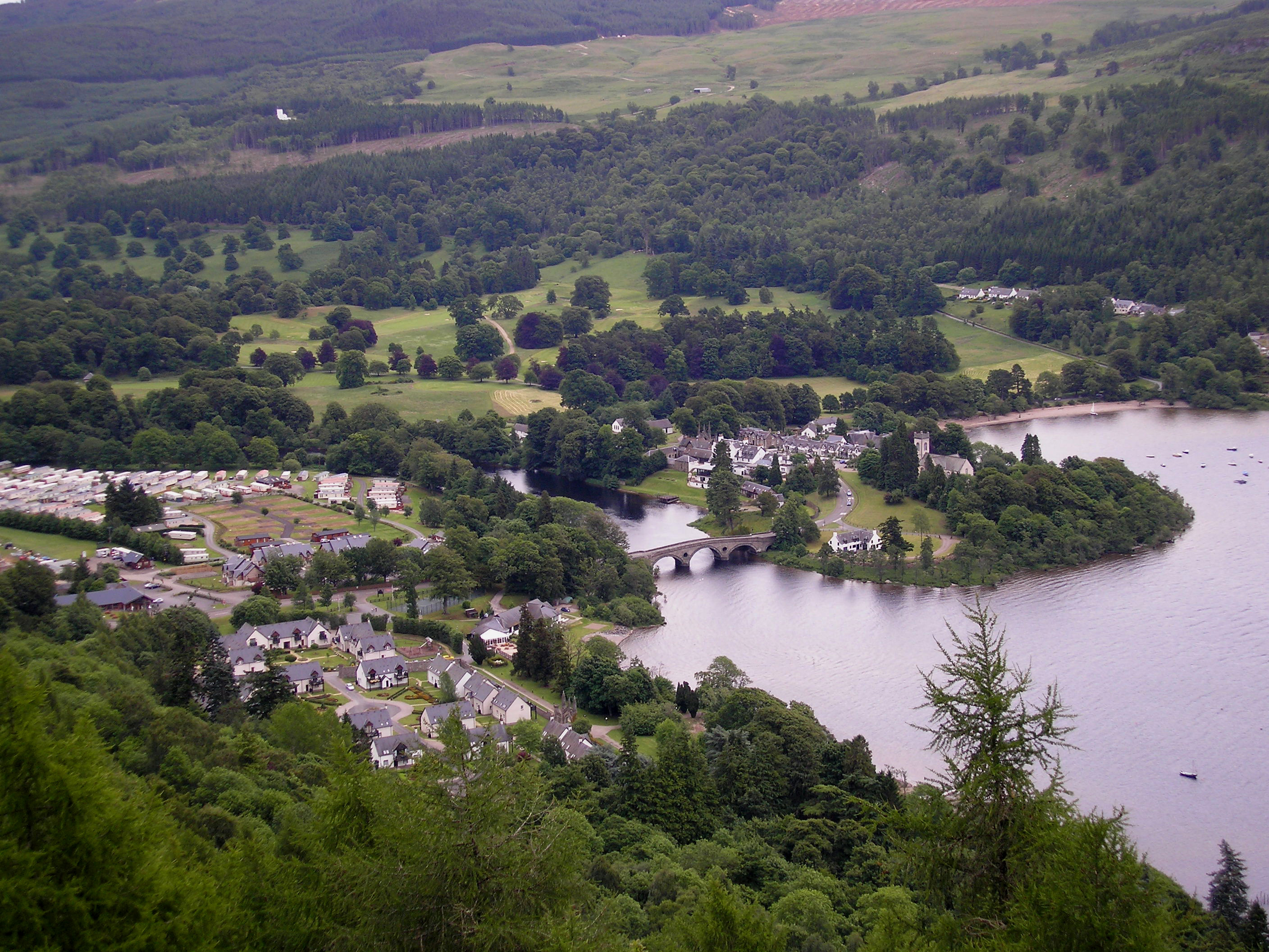
Kenmore, Perth and Kinross

Kenmore (Scottish Gaelic: A' Cheannmhor, IPA:[ˈaˈçaun̴̪auvɔɾ]) is a small village in Perthshire, in the Highlands of Scotland, located where Loch Tay drains...

Loch Hoil

Loch Hoil is a small freshwater lochan located between the shallow hills between Strath Braan and Strath Tay valley's in Perth and Kinross. Aberfeldy is...

Harpswell Cattle Pound

The Harpswell Cattle Pound is a stone enclosure in Harpswell, Maine, United States. It was used to hold stray animals until they could be reunited with...

Croft Moraig Stone Circle

Croft Moraig Stone Circle (also Croftmoraig) is a prehistoric stone circle situated four miles southwest of Aberfeldy, Scotland (grid reference NN79754726...

Falls of Acharn

Falls of Acharn is a waterfall of Scotland. == See also == Acharn Waterfalls of Scotland == References ==

Acharn, Perth and Kinross

Acharn (Scottish Gaelic: Àth a' Chàirn meaning 'Field of the Cairn[s]') is a hamlet in the Kenmore parish of the Scottish council area of Perth and Kinross...

Falls of Moness

Falls of Moness is a waterfall of Scotland. The Falls of Moness located in Aberfeldy, Perthshire, Scotland is a 150m high waterfall tucked away in the...

Have you been to A' Chrois?

Leave your review of A' Chrois below (or comments, questions and feedback).