Bryn-llech
Hill, Mountain in Caernarfonshire
Wales
Bryn-llech
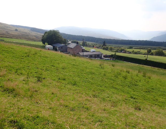
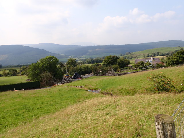
Bryn-llech is a prominent hill/mountain located in Caernarfonshire, Wales. It lies approximately 5 miles northeast of the town of Caernarfon and is part of the Snowdonia National Park. With an elevation of 561 meters (1,841 feet), it offers breathtaking panoramic views of the surrounding landscape.
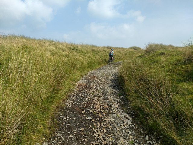
The hill/mountain is characterized by its rugged terrain and steep slopes, which make it a popular destination for hikers and outdoor enthusiasts. The ascent to the summit can be challenging, but the stunning vistas make it well worth the effort.
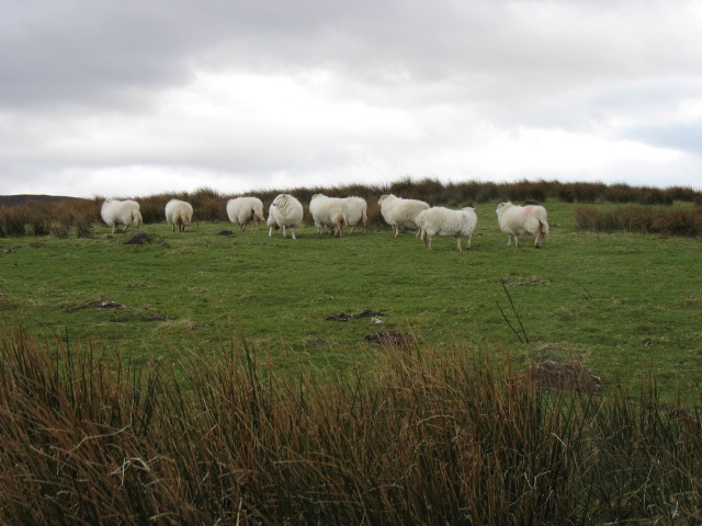
Bryn-llech is known for its diverse flora and fauna. The lower slopes are covered in grasses and heather, while higher up, the landscape transitions into rocky outcrops and scree. The hill/mountain is home to a variety of bird species, including ravens, buzzards, and peregrine falcons.
At the summit, there is a trig point that marks the highest point of Bryn-llech. On clear days, it is possible to see Snowdon, the highest mountain in Wales, as well as other prominent peaks in the Snowdonia range.
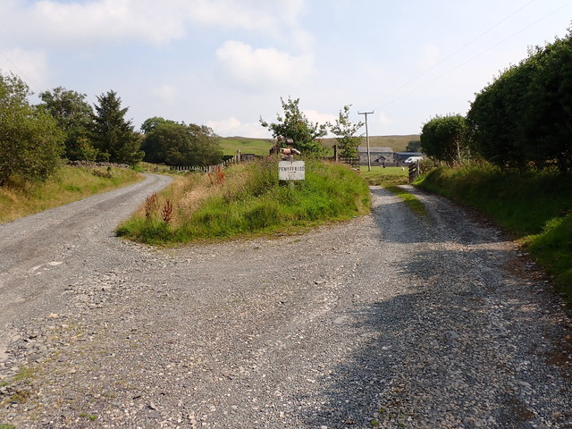
Bryn-llech is easily accessible from nearby towns and villages, with several footpaths leading to its summit. It provides a fantastic opportunity to enjoy the natural beauty of the Snowdonia National Park and experience the thrill of conquering a challenging hill/mountain.
If you have any feedback on the listing, please let us know in the comments section below.
Bryn-llech Images
Images are sourced within 2km of 53.028035/-3.7740046 or Grid Reference SH8149. Thanks to Geograph Open Source API. All images are credited.


Bryn-llech is located at Grid Ref: SH8149 (Lat: 53.028035, Lng: -3.7740046)
Unitary Authority: Conwy
Police Authority: North Wales
What 3 Words
///given.locator.bluff. Near Betws-y-Coed, Conwy
Nearby Locations
Related Wikis

Rhiw Llwyd
Rhiw Llwyd is the name of an early medieval Wales lordship which was created in the Kingdom of Gwynedd in the 12th century for Tomas ap Rhodri ab Owain...

Penmachno
Penmachno is a village in the isolated upland Machno valley, 4 miles (6 km) south of Betws-y-Coed in the county of Conwy, North Wales. The B4406 road runs...

Bro Machno
Bro Machno is a community in Conwy County Borough, in Wales, formed from the former civil parish of Penmachno. It covers the Penmachno Valley, through...

Ysbyty Ifan
Ysbyty Ifan (often formerly anglicised as Yspytty Ifan) is a small, historic village and community in the Conwy County Borough of Wales. The population...
Nearby Amenities
Located within 500m of 53.028035,-3.7740046Have you been to Bryn-llech?
Leave your review of Bryn-llech below (or comments, questions and feedback).