Meall Horn

Hill, Mountain in Sutherland

Scotland

Meall Horn

How to spoil a view These thoughtlessly-located wind-farm towers ruin the view of Loch Horn in an otherwise unspoilt part of Dunrobin Glen.
How to spoil a view Credit: Mick Crawley

Meall Horn is a hill located in the Sutherland region of Scotland. It is part of the Northwest Highlands and stands at an elevation of approximately 413 meters (1,355 feet). Meall Horn is known for its rugged and rocky terrain, offering hikers and climbers a challenging yet rewarding experience.

The hill is surrounded by stunning views of the Scottish Highlands, with panoramic vistas of rolling hills, lochs, and distant mountains. The landscape is characterized by heather-covered moorlands, scattered boulders, and patches of woodland, creating a picturesque setting for outdoor enthusiasts.

Meall Horn is accessible via various hiking trails, with the most popular route starting from the nearby village of Lairg. The hike to the summit takes approximately 2-3 hours, depending on fitness levels and weather conditions. Once at the top, hikers are treated to breathtaking views of the surrounding countryside, making the climb well worth the effort.

Overall, Meall Horn is a popular destination for those seeking a challenging outdoor adventure in the unspoiled beauty of the Scottish Highlands.

If you have any feedback on the listing, please let us know in the comments section below.
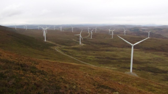
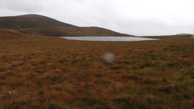
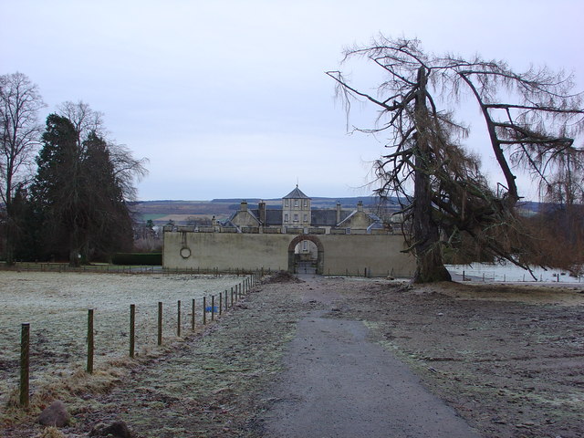
Meall Horn Images

Images are sourced within 2km of 58.040365/-4.0156369 or Grid Reference NC8107. Thanks to Geograph Open Source API. All images are credited.

How to spoil a view These thoughtlessly-located wind-farm towers ruin the view of Loch Horn in an otherwise unspoilt part of Dunrobin Glen.
How to spoil a view
These thoughtlessly-located wind-farm towers ruin the view of Loch Horn in an otherwise unspoilt part of Dunrobin Glen.
Kilbraur Windfarm, Sutherland View from the ridge of Meall Dubh, near Ben Horn.
Kilbraur Windfarm, Sutherland
View from the ridge of Meall Dubh, near Ben Horn.
Kilbraur Wind Farm turbines With Meall Horn as a backdrop.
Kilbraur Wind Farm turbines
With Meall Horn as a backdrop.
Heading towards Kilbraur Farm Looking towards the last turbine at the edge of the wind farm. Strath Brora, ahead, receives some afternoon sunshine.
Heading towards Kilbraur Farm
Looking towards the last turbine at the edge of the wind farm. Strath Brora, ahead, receives some afternoon sunshine.
Summit Cairn on Ben Horn, Sutherland A small pile of stones marking the summit of Ben Horn (520 m, 1706 ft) in east Sutherland, with wintry showers passing over Strath Fleet to the south.
Summit Cairn on Ben Horn, Sutherland
A small pile of stones marking the summit of Ben Horn (520 m, 1706 ft) in east Sutherland, with wintry showers passing over Strath Fleet to the south.
Ben Horn and Brora, Sutherland View off the southeastern shoulder of Ben Horn looking over moorland towards the village of Brora on the east coast of Sutherland.
Ben Horn and Brora, Sutherland
View off the southeastern shoulder of Ben Horn looking over moorland towards the village of Brora on the east coast of Sutherland.
Kilbraur wind farm This wind farm is viewed from the Gordonbush estate where yet another 35 wind turbines are under construction.
Kilbraur wind farm
This wind farm is viewed from the Gordonbush estate where yet another 35 wind turbines are under construction.
Ben Horn Wet heath flanks the southern approach to Ben Horn.  The eastern end of the summit ridge is craggy and affords wonderful views of Strath Brora.
Ben Horn
Wet heath flanks the southern approach to Ben Horn. The eastern end of the summit ridge is craggy and affords wonderful views of Strath Brora.
Loch Horn from Ben Horn Shame about the wind farm
Loch Horn from Ben Horn
Shame about the wind farm
Ben Horn The view from the summit, over Dunrobin Glen, with the Duke of Sutherland's infamous monument on Ben Bhraggie at Golspie in the distance
Ben Horn
The view from the summit, over Dunrobin Glen, with the Duke of Sutherland's infamous monument on Ben Bhraggie at Golspie in the distance
Kilbraur Wind farm viewed from Meall Horn The turbine hubs are 70m high.  The blades are 90m diameter and each turbine generates up to 2,500 kW of power.  Seemingly power out of nothing.
Kilbraur Wind farm viewed from Meall Horn
The turbine hubs are 70m high. The blades are 90m diameter and each turbine generates up to 2,500 kW of power. Seemingly power out of nothing.
View of Meall Horn (hill) from the east
Moorland south of Kilbraur Hill
Loch a' Bhididh
Loch a' Bhididh
Ground to the South of Ben Horn A scar in the peat in the foreground.  View looking north - Ben Horn (520m) is the main hill in the background.
Ground to the South of Ben Horn
A scar in the peat in the foreground. View looking north - Ben Horn (520m) is the main hill in the background.
Confluence on the Scottarie Burn
Sheepfold near Kilbraur in Sutherland Ben Smeorail is the peak in the background.
Sheepfold near Kilbraur in Sutherland
Ben Smeorail is the peak in the background.
The Top Road in Kilbraur Wind Farm, Sutherland On an evening in March
The Top Road in Kilbraur Wind Farm, Sutherland
On an evening in March
Show me another place!

Meall Horn is located at Grid Ref: NC8107 (Lat: 58.040365, Lng: -4.0156369)

Unitary Authority: Highland

Police Authority: Highlands and Islands

What 3 Words

///tables.quail.monkey. Near Golspie, Highland

Nearby Locations

Meall Horn

Related Wikis

Balnacoil

Balnacoil (from Scottish Gaelic Baile na Coille 'settlement of the wood') is a small crofting village, lying in the strath of Brora, one mile west of...

Loch Brora

Loch Brora is a loch in the Golspie parish near the east coast of Sutherland in the Highland council area in Northern Scotland. It is located directly...

Dalreavoch

Dalreavoch (Scottish Gaelic: An Dail Riabhach) is a small crofting hamlet in Rogart in Sutherland, Scottish Highlands and is in the Scottish council...

Battle of Alltan-Beath

The Battle of Alltan-Beath, also known as the Battle of Ailtan-Beath, was a Scottish clan battle said to have taken place in 1542 in the village of Knockarthur...

Nearby Amenities

Located within 500m of 58.040365,-4.0156369
Generator Method: wind_turbine
Generator Source: wind
Generator Type: horizontal_axis
Power: generator
Source: Bing
Lat/Long: 58.0441797/-4.0197525
The data included in this document is from www.openstreetmap.org. The data is made available under ODbL.

Have you been to Meall Horn?

Leave your review of Meall Horn below (or comments, questions and feedback).