The Dod
Hill, Mountain in Dumfriesshire
Scotland
The Dod
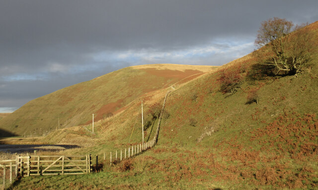
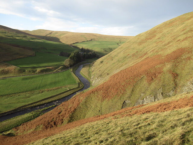
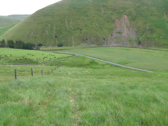
The Dod, located in Dumfriesshire, Scotland, is a prominent hill/mountain that stands at an impressive height of 522 meters (1,713 feet). It is situated within the Moffat Hills range, which is part of the Southern Uplands. The Dod is a popular destination for hikers, walkers, and outdoor enthusiasts due to its accessibility and stunning panoramic views.
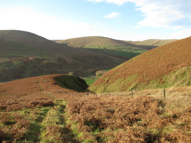
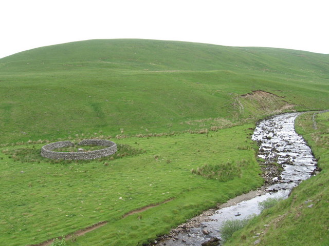
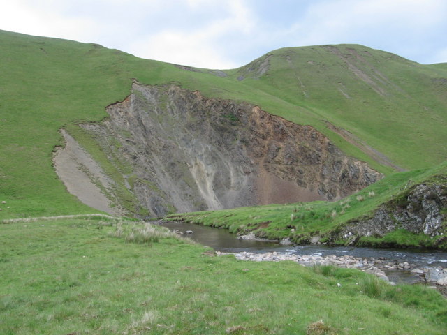
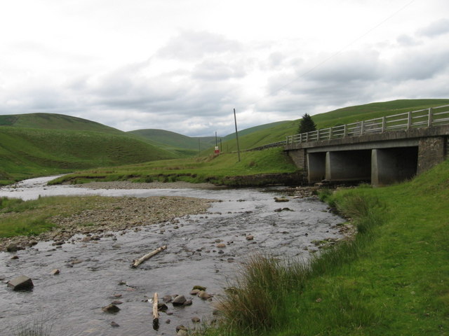
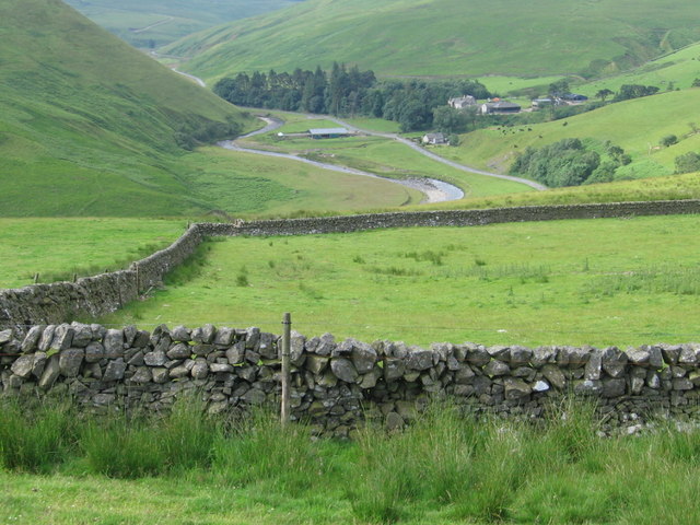
The ascent to the summit of The Dod begins at the small village of Moffat, where a well-marked trail leads to the top. The path is relatively moderate, making it suitable for individuals of various fitness levels. As visitors ascend, they are treated to picturesque scenery, including rolling green hills, tranquil lochs, and vibrant flora.
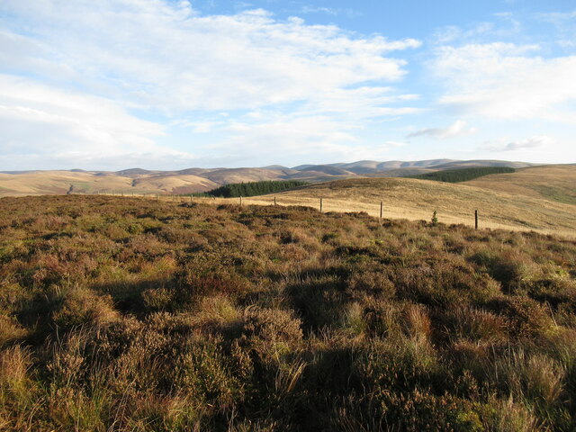
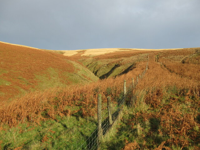
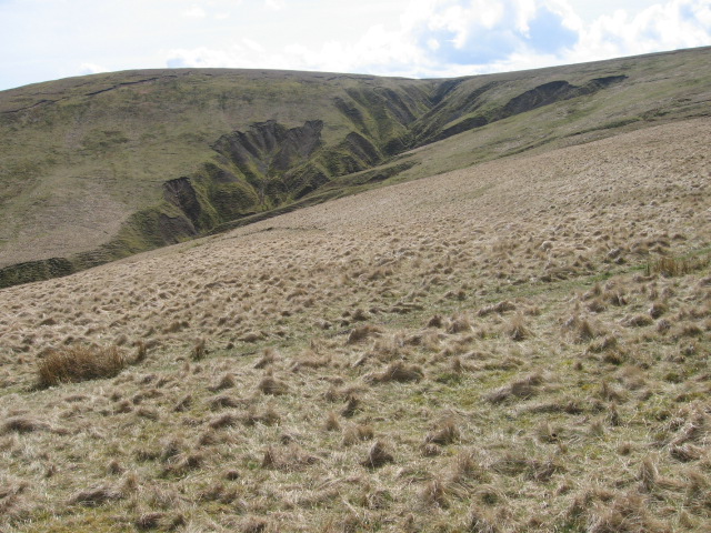
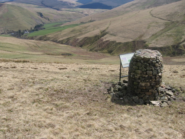
Reaching the summit rewards adventurers with breathtaking vistas that stretch across the surrounding countryside. On clear days, it is possible to see as far as the Lake District in England. The Dod also offers a unique vantage point to witness the changing colors of the landscape during different seasons, with vibrant hues of purple heather in summer and golden shades of foliage in autumn.
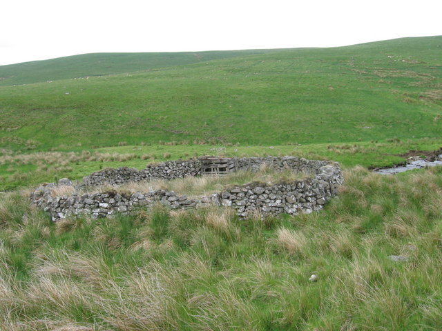
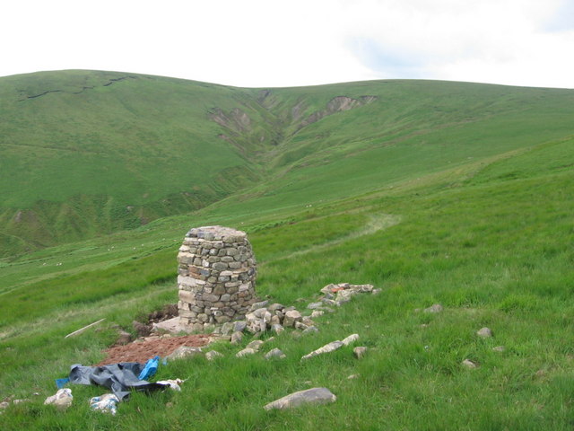
Aside from its natural beauty, The Dod holds historical significance. It is believed that the hill served as a lookout post during ancient times, given its strategic location. As visitors explore the area, they may encounter remnants of ancient settlements, stone circles, or cairns, which add an intriguing element to the overall experience.
Overall, The Dod in Dumfriesshire is a captivating hill/mountain that offers a memorable outdoor adventure for all who visit. With its accessibility, stunning views, and historical significance, it continues to attract nature lovers and history enthusiasts alike.
If you have any feedback on the listing, please let us know in the comments section below.
The Dod Images
Images are sourced within 2km of 55.439114/-3.8825832 or Grid Reference NS8017. Thanks to Geograph Open Source API. All images are credited.


The Dod is located at Grid Ref: NS8017 (Lat: 55.439114, Lng: -3.8825832)
Unitary Authority: Dumfries and Galloway
Police Authority: Dumfries and Galloway
What 3 Words
///shiny.anthems.outbursts. Near Sanquhar, Dumfries & Galloway
Nearby Locations
Related Wikis

Whitecleuch Chain
The Whitecleuch Chain is a large Pictish silver chain that was found in Whitecleuch, Lanarkshire, Scotland in 1869. A high status piece, it is likely to...

Fish Bed Formation
The Fish Bed Formation is a geologic formation in Scotland, United Kingdom. The fluvial to lacustrine sandstones, shales, siltstones and conglomerates...

Holm House and the Crawick Glen
Holm House and the Crawick Glen were originally part of a small estate in the parishes of Kirkconnel and Sanquhar and lay less than a 1 mile (1.6 km) upstream...
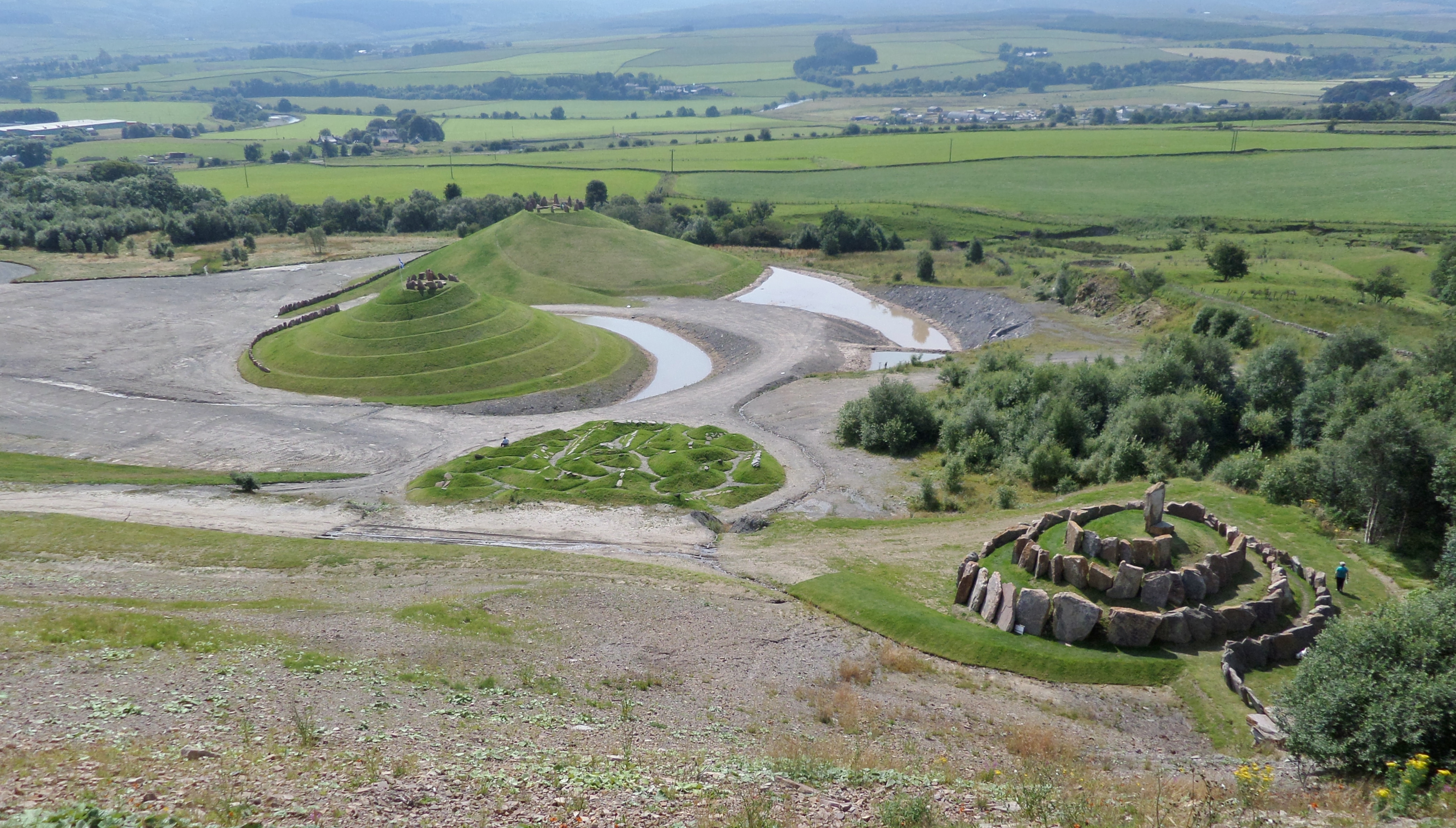
Crawick Multiverse
Crawick Multiverse is a land art project by the landscape architect and designer Charles Jencks near Sanquhar, Dumfries and Galloway. It opened to the...
Nearby Amenities
Located within 500m of 55.439114,-3.8825832Have you been to The Dod?
Leave your review of The Dod below (or comments, questions and feedback).