Corsebank Wood

Wood, Forest in Dumfriesshire

Scotland

Corsebank Wood

By the Crawick Water upstream of Nether Cog Mid-afternoon in late November and the light is already beginning to fade.
By the Crawick Water upstream of Nether Cog Credit: Alan O'Dowd

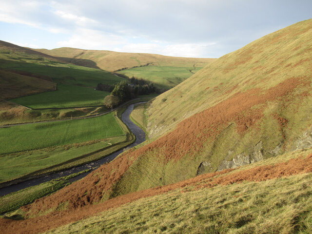
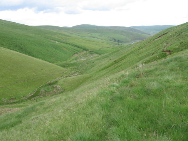
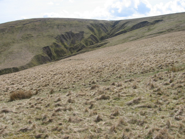
Corsebank Wood is a picturesque forest located in Dumfriesshire, Scotland. Spanning over a vast area, the wood is known for its natural beauty and diverse ecosystem. It is situated near the village of Corsock, providing locals and tourists with a tranquil escape from the bustling city life.

The wood is predominantly composed of broadleaf trees, including oak, beech, and ash, which provide a lush green canopy throughout the year. These trees offer a habitat for various wildlife species, including red squirrels, roe deer, and numerous bird species, making it an ideal spot for birdwatching and wildlife enthusiasts.

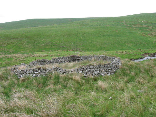
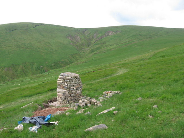
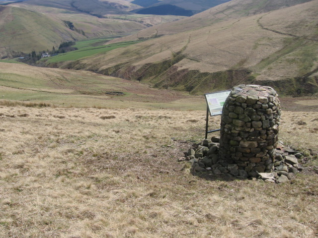
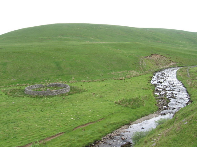
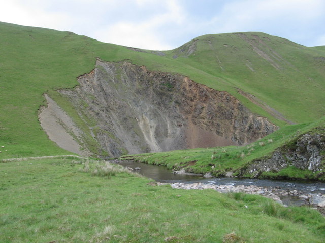
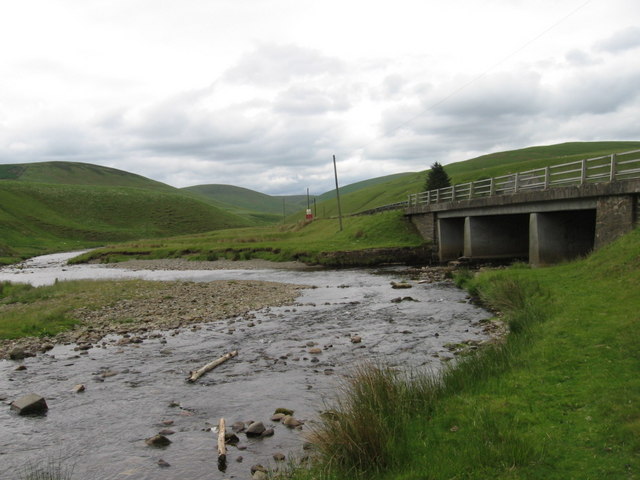
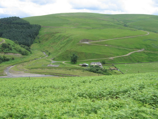
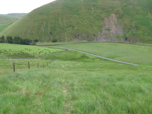
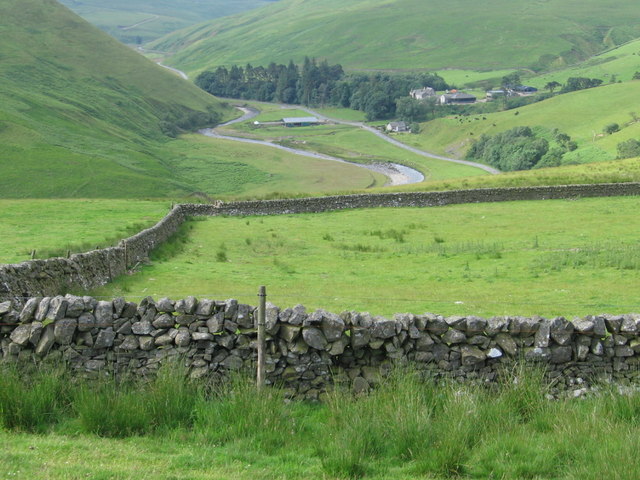
Traversing through the wood, visitors can find a network of well-maintained footpaths that offer stunning views of the surrounding landscape. The paths wind through the forest, allowing visitors to explore the woodland at their own pace. Additionally, the wood is home to a small stream, adding to its natural charm.

Corsebank Wood offers a peaceful and serene environment, making it a popular destination for nature lovers and those seeking solace in nature. The wood is also a great place for outdoor activities such as hiking, picnicking, and photography. A variety of plants and flowers can be found throughout the wood, adding colors and fragrance to the environment.

The management of Corsebank Wood focuses on preserving its natural beauty while providing recreational opportunities for visitors. The wood is accessible year-round and is free to enter, making it an accessible destination for people of all ages.

If you have any feedback on the listing, please let us know in the comments section below.

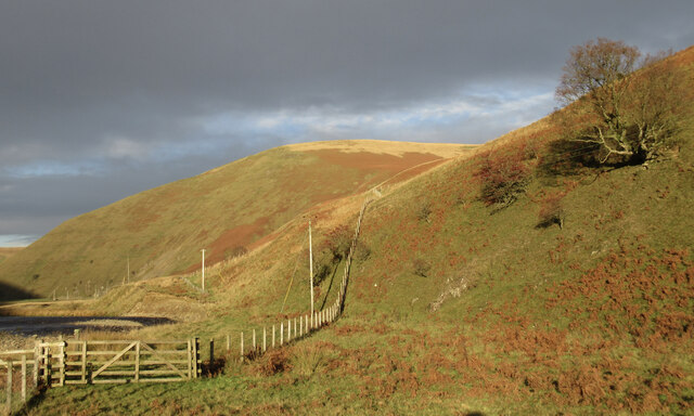
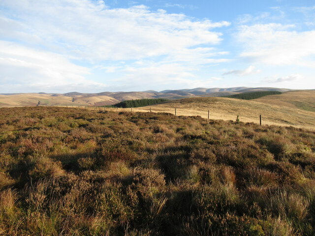
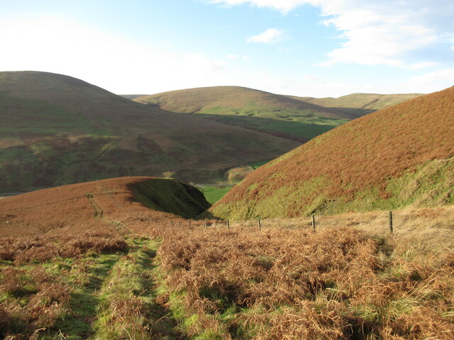
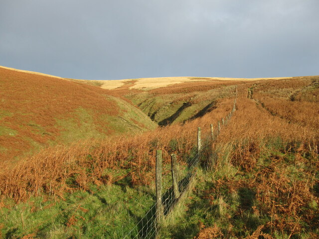
Corsebank Wood Images

Images are sourced within 2km of 55.433705/-3.8883162 or Grid Reference NS8017. Thanks to Geograph Open Source API. All images are credited.

By the Crawick Water upstream of Nether Cog Mid-afternoon in late November and the light is already beginning to fade.
By the Crawick Water upstream of Nether Cog
Mid-afternoon in late November and the light is already beginning to fade.
Approaching Craignorth Hill along the Crawick Water Mid afternoon in late November and the light is already beginning to fade.
Approaching Craignorth Hill along the Crawick Water
Mid afternoon in late November and the light is already beginning to fade.
Brown's Cleuch Brown's Cleuch is a deep, steep-sided ravine on Craignorth Hill, a striking feature among these rolling grassy hills.
Brown's Cleuch
Brown's Cleuch is a deep, steep-sided ravine on Craignorth Hill, a striking feature among these rolling grassy hills.
Heather moorland on Craignorth Hill Looking towards the slightly lower 421m top of this small moorland hill above the Crawick Water, with the Lowther Hills in the distance.
Heather moorland on Craignorth Hill
Looking towards the slightly lower 421m top of this small moorland hill above the Crawick Water, with the Lowther Hills in the distance.
Tracks on Craignorth Hill above Brown's Cleuch A vehicle track on the spur of the hill above the deep ravine of Brown's Cleuch.
Tracks on Craignorth Hill above Brown's Cleuch
A vehicle track on the spur of the hill above the deep ravine of Brown's Cleuch.
The upper reaches of Brown's Cleuch Brown's Cleuch forms a deep ravine in the side of Craignorth Hill, but the angle eases off in this upper part of the cleuch.
The upper reaches of Brown's Cleuch
Brown's Cleuch forms a deep ravine in the side of Craignorth Hill, but the angle eases off in this upper part of the cleuch.
Steep slopes of Craignorth Hill above the Crawick Water A view into the valley of this tributary of the River Nith from the steep hillside beside Brown's Cleuch.
Steep slopes of Craignorth Hill above the Crawick Water
A view into the valley of this tributary of the River Nith from the steep hillside beside Brown's Cleuch.
Sheepfold by Spango Water
Polthistly Burn to Corsebank
On Lamb Knowe beside the route of an old drove road
Towards Castle Hill from Drove Hass
Towards Glenaners Burn and Corsebank from Lamb Knowe The stone cairn and interpretation panel mark the Kirkconnel Parish Heritage Society Geology Trail.
Towards Glenaners Burn and Corsebank from Lamb Knowe
The stone cairn and interpretation panel mark the Kirkconnel Parish Heritage Society Geology Trail.
Sheepfold by Spango Water
Redscar Heugh
Redscar Heugh
Spango Bridge
Spango Bridge
Nether Cog
Nether Cog
B740 road near Corsebank
Enclosure on hillside below Peat Rig
Show me another place!

Corsebank Wood is located at Grid Ref: NS8017 (Lat: 55.433705, Lng: -3.8883162)

Unitary Authority: Dumfries and Galloway

Police Authority: Dumfries and Galloway

What 3 Words

///probable.funny.optimists. Near Sanquhar, Dumfries & Galloway

Related Wikis

Whitecleuch Chain

The Whitecleuch Chain is a large Pictish silver chain that was found in Whitecleuch, Lanarkshire, Scotland in 1869. A high status piece, it is likely to...

Holm House and the Crawick Glen

Holm House and the Crawick Glen were originally part of a small estate in the parishes of Kirkconnel and Sanquhar and lay less than a 1 mile (1.6 km) upstream...
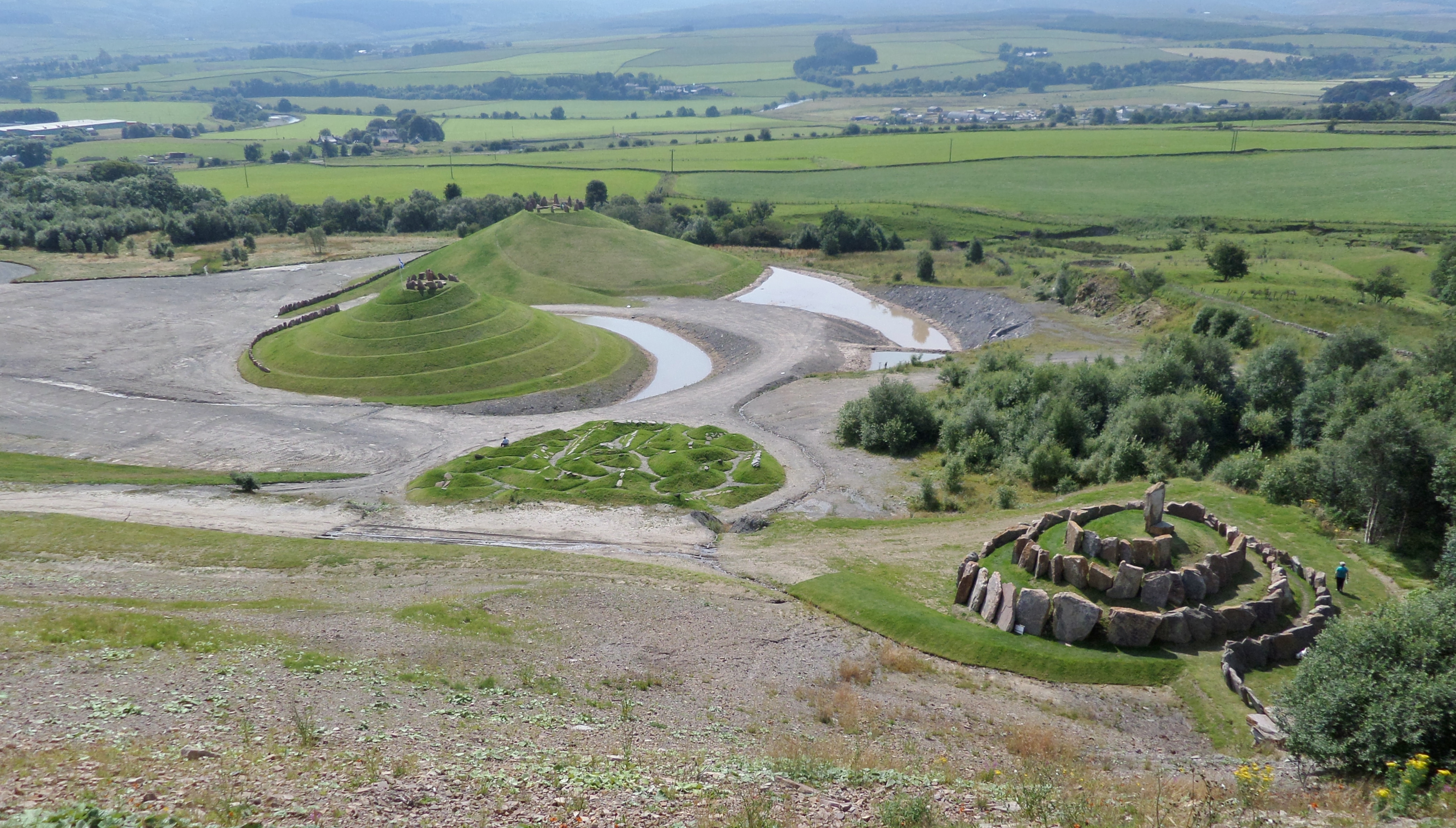
Crawick Multiverse

Crawick Multiverse is a land art project by the landscape architect and designer Charles Jencks near Sanquhar, Dumfries and Galloway. It opened to the...

Crawick Holm

Crawick Holm was a football ground in Sanquhar, Scotland. It was the home ground of Nithsdale Wanderers. == History == Nithsdale Wanderers moved to Crawick...

Nearby Amenities

Located within 500m of 55.433705,-3.8883162
Power: pole
Lat/Long: 55.4295393/-3.8877009
Power: pole
Lat/Long: 55.430217/-3.888418
Power: pole
Lat/Long: 55.4309011/-3.8875087
Power: pole
Lat/Long: 55.4314504/-3.8868052
Power: pole
Lat/Long: 55.4320061/-3.8860949
Power: pole
Lat/Long: 55.4325682/-3.8853462
Power: pole
Lat/Long: 55.4330636/-3.8847151
Power: pole
Lat/Long: 55.4333896/-3.8833692
Power: pole
Lat/Long: 55.4336668/-3.882254
Power: pole
Lat/Long: 55.4339427/-3.8811275
The data included in this document is from www.openstreetmap.org. The data is made available under ODbL.

Have you been to Corsebank Wood?

Leave your review of Corsebank Wood below (or comments, questions and feedback).