A' Chairidh
Hill, Mountain in Perthshire
Scotland
A' Chairidh
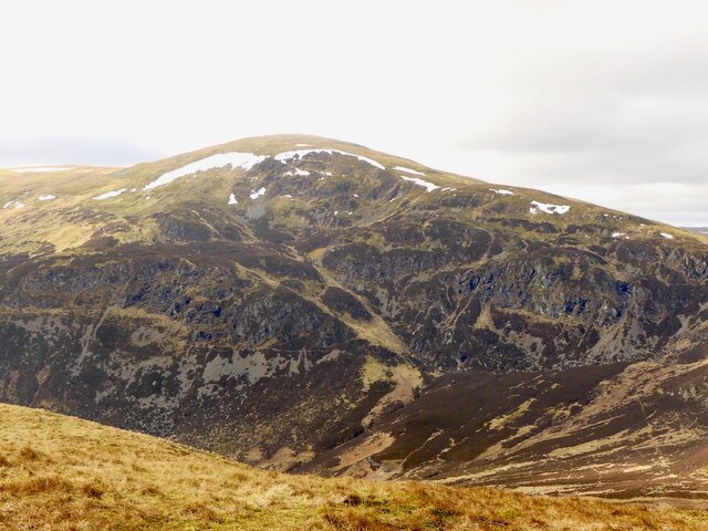
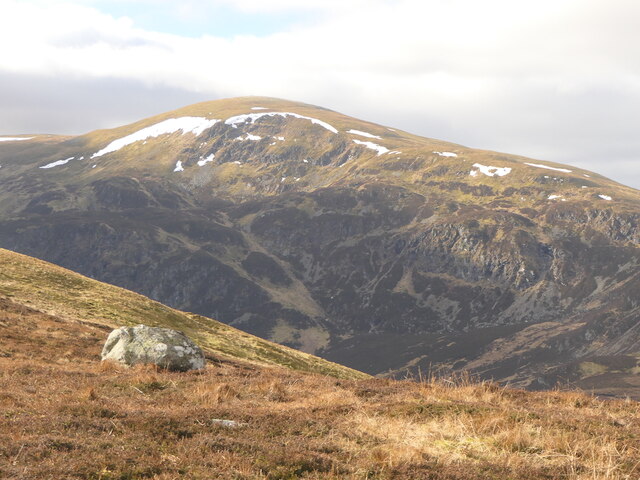
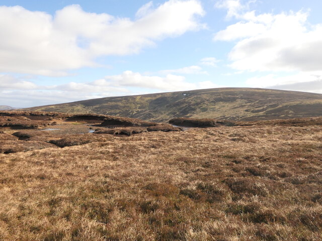
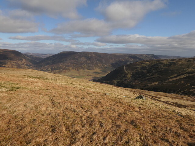
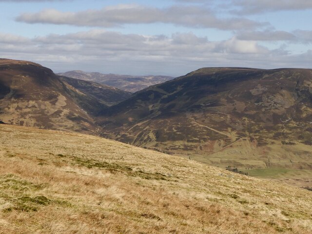
A' Chairidh is a prominent hill located in the region of Perthshire, Scotland. It stands at an elevation of approximately 800 meters (2,625 feet) above sea level, making it a popular destination for hikers and mountaineers seeking stunning panoramic views of the surrounding landscape. The hill is situated within the Cairngorms National Park, renowned for its diverse wildlife and breathtaking natural beauty.
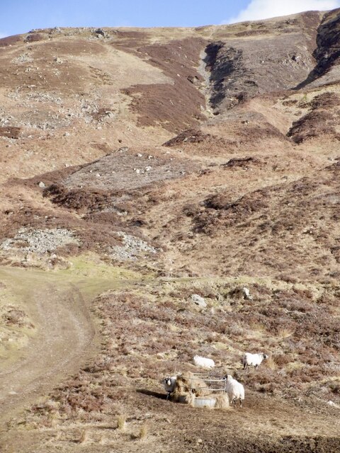
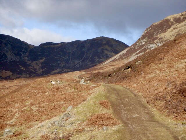
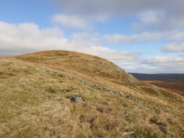
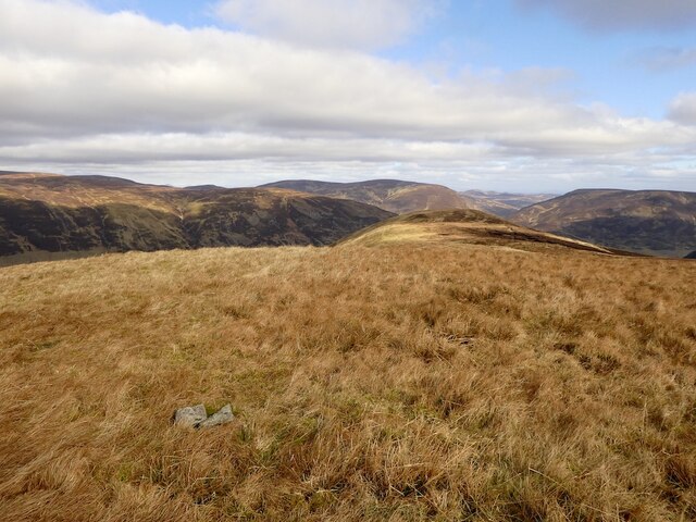
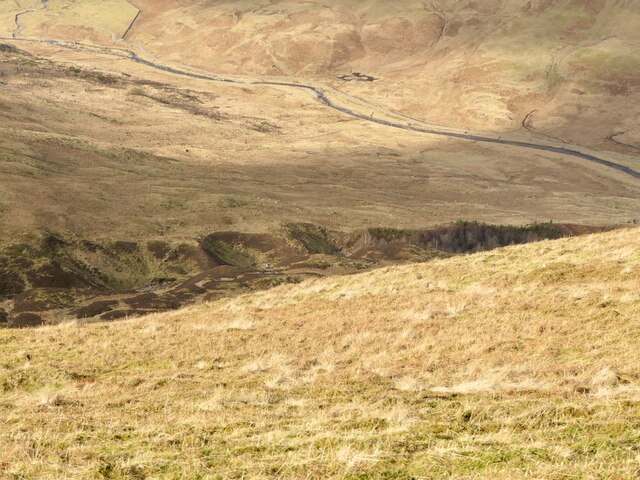
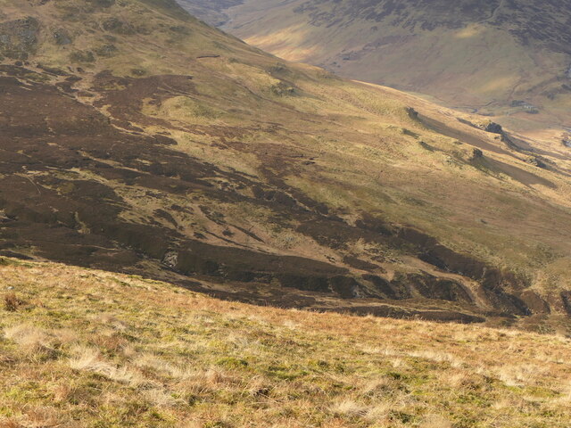
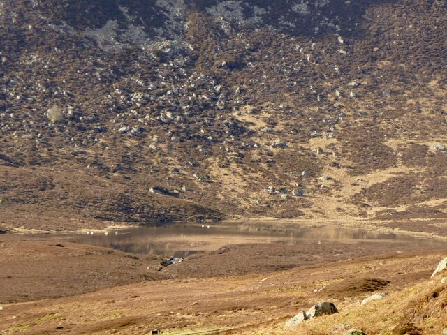
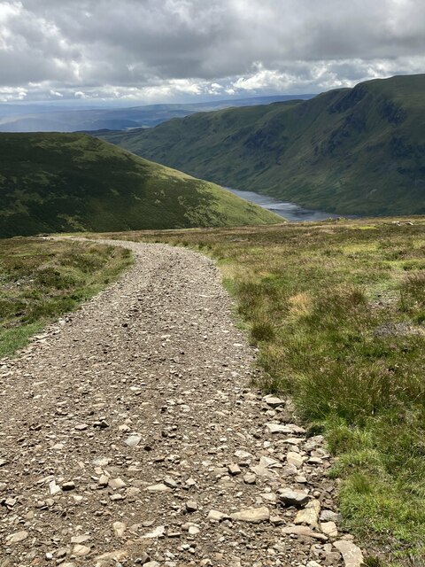
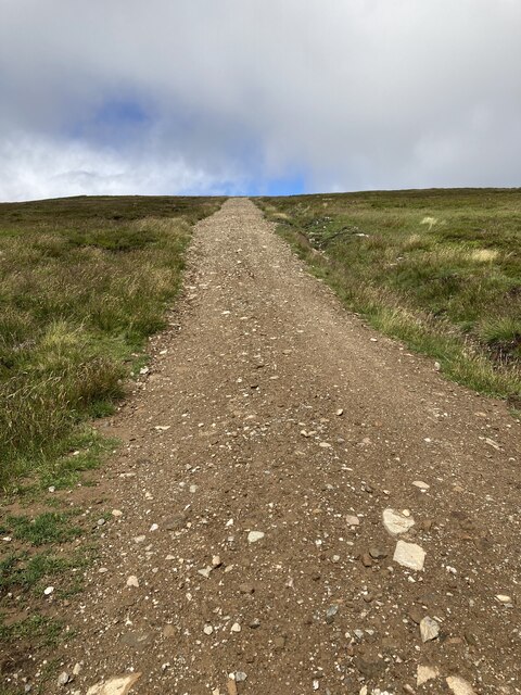
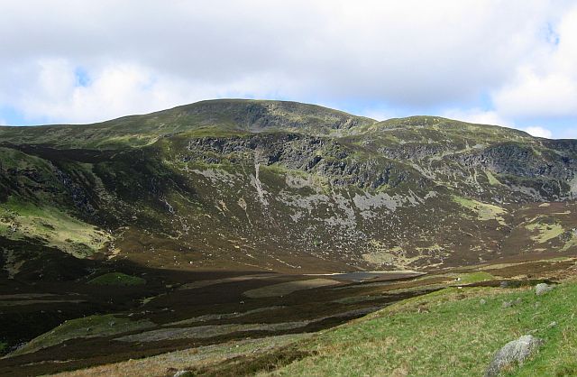
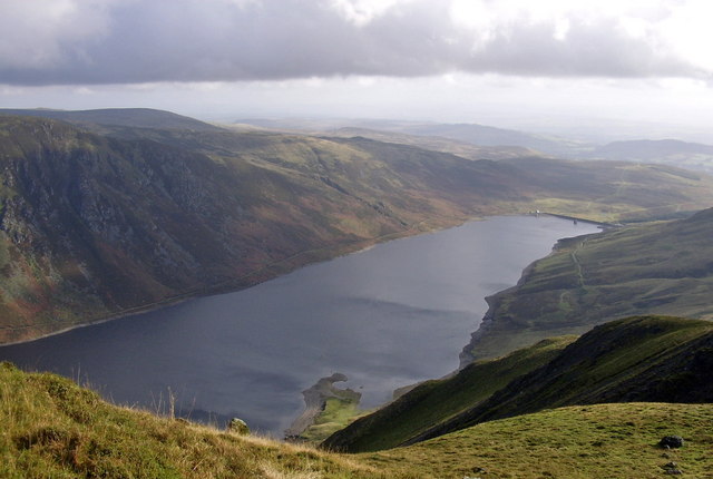
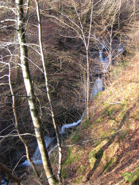
A' Chairidh is characterized by its steep slopes and rocky terrain, which provide a challenging yet rewarding ascent for outdoor enthusiasts. The hill is predominantly composed of granite, giving it a rugged and distinctive appearance. Its summit offers unobstructed vistas of the surrounding mountains and valleys, including the picturesque Loch Tummel.
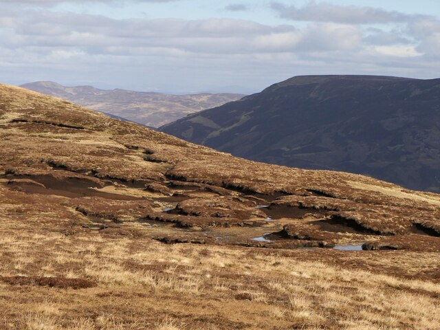
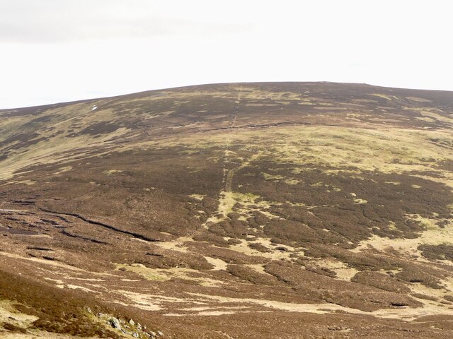
The area surrounding A' Chairidh is rich in flora and fauna, with heather, grasses, and wildflowers covering the lower slopes. The hill is also home to a variety of bird species, including golden eagles, peregrine falcons, and red grouse, making it a popular spot for birdwatching.
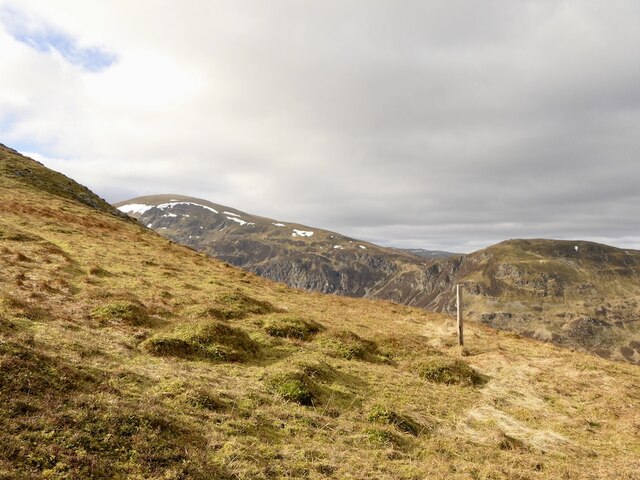
Access to A' Chairidh is possible via several well-marked footpaths, with the most common route starting from the nearby village of Pitlochry. The ascent typically takes a few hours, depending on fitness levels and weather conditions. It is important for visitors to be prepared for changing weather conditions, as Perthshire can experience unpredictable changes in temperature and precipitation.
Overall, A' Chairidh offers outdoor enthusiasts a challenging yet rewarding hiking experience, with its stunning views, diverse wildlife, and rugged terrain making it a must-visit destination for those exploring the Perthshire region.
If you have any feedback on the listing, please let us know in the comments section below.
A' Chairidh Images
Images are sourced within 2km of 56.459347/-3.9570652 or Grid Reference NN7931. Thanks to Geograph Open Source API. All images are credited.
A' Chairidh is located at Grid Ref: NN7931 (Lat: 56.459347, Lng: -3.9570652)
Unitary Authority: Perth and Kinross
Police Authority: Tayside
What 3 Words
///stitch.playfully.depend. Near Comrie, Perth & Kinross
Nearby Locations
Related Wikis
Ben Chonzie
Ben Chonzie or Ben-y-Hone (Scottish Gaelic: Beinn a' Chomhainn, 'mountain of the narrowness', or possibly from Beinn Chòinnich, 'mossy mountain') is a...
Loch Turret
Loch Turret is a large freshwater reservoir on a north-east to south-west orientation, that is located at the head of Glen Turret and 5.39 miles (8.67...

Perthshire
Perthshire (locally: ; Scottish Gaelic: Siorrachd Pheairt), officially the County of Perth, is a historic county and registration county in central Scotland...

Stirling (council area)
The Stirling council area (Scots: Stirlin; Scottish Gaelic: Sruighlea) is one of the 32 council areas of Scotland, and has a population of about 93,470...

Creagan na Beinne
Creagan na Beinne is a hill in the Scottish Highlands lying to the south-east of Loch Tay in the group of rolling hills and moors whose highest point in...

Central Lowlands
The Central Lowlands, sometimes called the Midland Valley or Central Valley, is a geologically defined area of relatively low-lying land in southern Scotland...

Falls of Turret
Falls of Turret is a waterfall of Scotland. == See also == Waterfalls of Scotland == References ==
Falls of Barvick
Falls of Barvick is a waterfall in Scotland. It is 492 feet (150 m) at its highest point and has an average width of 20 feet (6.1 m). It is a cascades...
Have you been to A' Chairidh?
Leave your review of A' Chairidh below (or comments, questions and feedback).