Craigdasher Hill
Hill, Mountain in Dumfriesshire
Scotland
Craigdasher Hill

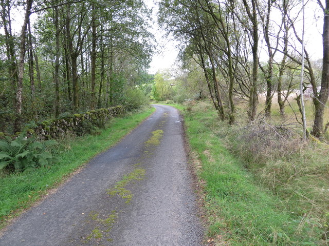
Craigdasher Hill, located in Dumfriesshire, Scotland, is a prominent hill that offers breathtaking panoramic views of the surrounding countryside. Standing at an elevation of approximately 454 meters (1,490 feet), it is classified as a hill rather than a mountain. Despite this, its prominent position and commanding presence make it a popular destination for hikers, nature enthusiasts, and photographers alike.
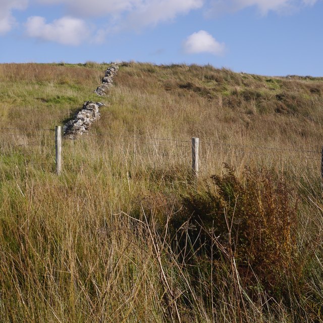
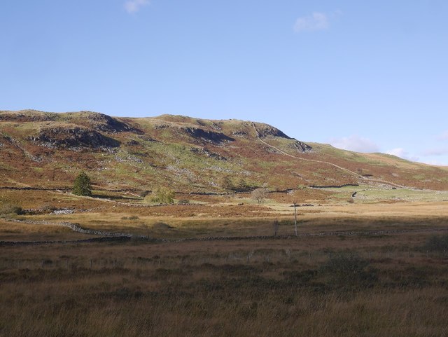
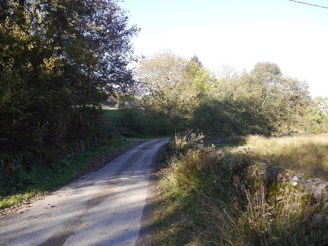
The hill is situated in a rural area, surrounded by rolling green hills and picturesque farmland. Its location provides visitors with a sense of tranquility and a chance to escape the hustle and bustle of city life. The summit of Craigdasher Hill is easily accessible via a well-maintained path, making it an ideal destination for both experienced hikers and those seeking a more leisurely stroll.
Once at the top, visitors are rewarded with breathtaking views that stretch as far as the eye can see. On a clear day, it is possible to see the Solway Firth and even the distant peaks of the Lake District in England. The hill is also home to a variety of wildlife, including birds of prey and deer, which adds to the natural beauty and charm of the area.
Overall, Craigdasher Hill is a hidden gem in Dumfriesshire, offering visitors a chance to connect with nature and experience the beauty of the Scottish countryside. Whether one seeks a challenging hike or a peaceful escape, this hill is sure to leave a lasting impression on all who visit.
If you have any feedback on the listing, please let us know in the comments section below.
Craigdasher Hill Images
Images are sourced within 2km of 55.1224/-3.8910332 or Grid Reference NX7982. Thanks to Geograph Open Source API. All images are credited.


Craigdasher Hill is located at Grid Ref: NX7982 (Lat: 55.1224, Lng: -3.8910332)
Unitary Authority: Dumfries and Galloway
Police Authority: Dumfries and Galloway
What 3 Words
///tourist.swimsuits.solder. Near Thornhill, Dumfries & Galloway
Nearby Locations
Related Wikis

Craigenputtock
Craigenputtock (usually spelled by the Carlyles as Craigenputtoch) is an estate in Scotland where Thomas Carlyle lived from 1828 to 1834. He wrote several...

Dumfries and Galloway
Dumfries and Galloway (Scots: Dumfries an Gallowa; Scottish Gaelic: Dùn Phrìs is Gall-Ghaidhealaibh) is one of the 32 unitary council areas of Scotland...

Glenkiln Sculpture Park
Glenkiln Sculpture Park was a sculpture landscape in the historic county of Kirkcudbrightshire in Dumfries and Galloway, south-west Scotland. After one...

Dunscore railway station
Dunscore (NX858840) was one of the four principal stations on the Cairn Valley Light Railway (CVR) branch, from Dumfries. It served the rural area of...
Crossford railway station
Crossford is a closed station of the Cairn Valley Light Railway branch, from Dumfries. It served the rural area of Crossford in Dumfries and Galloway...
Stepford railway station
Stepford (NX864815) was one of the minor request stop stations on the Cairn Valley Light Railway branch from Dumfries. It served a very rural area in...

Corsock
Corsock (Scottish Gaelic: Corsag) is a village in the historical county of Kirkcudbrightshire, Dumfries and Galloway, south-west Scotland. It is located...
Kirkland railway station
Kirkland railway station (NX810897) was one of the minor stations on the Cairn Valley Light Railway branch, from Dumfries. It served the rural area around...
Nearby Amenities
Located within 500m of 55.1224,-3.8910332Have you been to Craigdasher Hill?
Leave your review of Craigdasher Hill below (or comments, questions and feedback).