Brown Hill

Hill, Mountain in Dumfriesshire

Scotland

Brown Hill

Benchmark at Chanlockfoot Benchmark on the bridge at Chanlockfoot.
Benchmark at Chanlockfoot Credit: Rab McMurdo

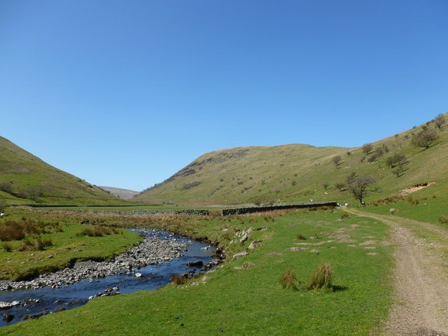
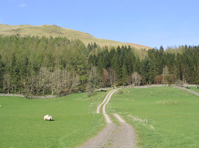
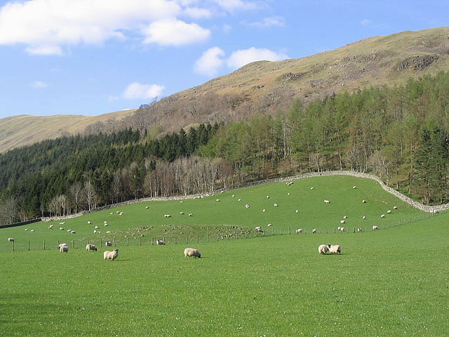
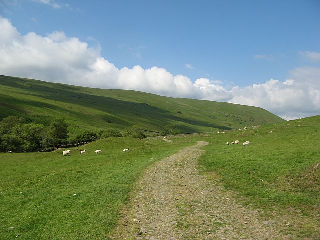
Brown Hill is a small hill located in the county of Dumfriesshire, Scotland. It is part of the Southern Uplands range and stands at an elevation of approximately 304 meters (997 feet). Although not particularly high compared to other peaks in the area, it offers stunning panoramic views of the surrounding countryside.

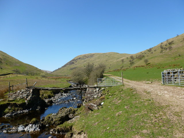
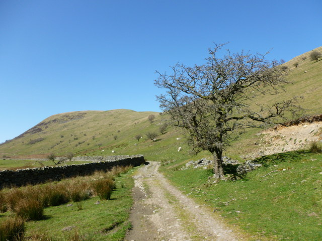
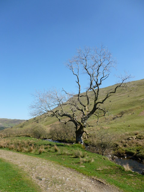
The hill is characterized by its gentle slopes, covered in a mixture of grass and heather, making it a popular destination for walkers and hikers. The ascent to the summit is relatively easy, making it accessible to people of various fitness levels. The well-maintained footpaths ensure a pleasant and safe journey to the top.

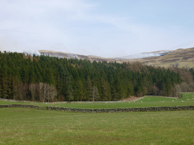
At its peak, Brown Hill provides breathtaking views of the rolling hills and valleys that stretch out in all directions. On a clear day, it is possible to see as far as the Solway Firth and the Lake District National Park to the south.

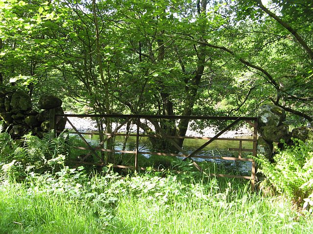
The hill is also home to a diverse range of flora and fauna. The heather-covered slopes attract a variety of bird species, including skylarks and meadow pipits, while the surrounding woodland provides habitat for mammals such as deer and foxes.

Overall, Brown Hill offers a peaceful and picturesque outdoor experience for nature enthusiasts and those seeking a tranquil escape in the beautiful Dumfriesshire countryside.

If you have any feedback on the listing, please let us know in the comments section below.
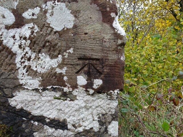
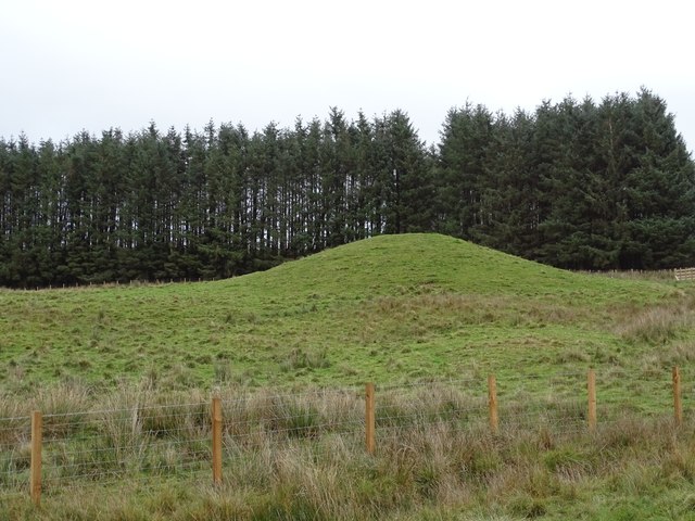
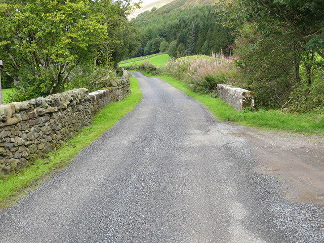
Brown Hill Images

Images are sourced within 2km of 55.270494/-3.8981763 or Grid Reference NX7999. Thanks to Geograph Open Source API. All images are credited.

Benchmark at Chanlockfoot Benchmark on the bridge at Chanlockfoot.
Benchmark at Chanlockfoot
Benchmark on the bridge at Chanlockfoot.
Stablegordon Knowe Stablegordon Knowe, a prominent green mound beside a line of trees.
Stablegordon Knowe
Stablegordon Knowe, a prominent green mound beside a line of trees.
Glenscoben Bridge and road crossing Woodend Burn Looking north-westward.
Glenscoben Bridge and road crossing Woodend Burn
Looking north-westward.
Track near Chanlockfoot Cottages This track follows the glen of the Chanlock Burn.
Track near Chanlockfoot Cottages
This track follows the glen of the Chanlock Burn.
Track and enclosures by the Chanlock Burn The hillside of Craigdasher rises in the background.
Track and enclosures by the Chanlock Burn
The hillside of Craigdasher rises in the background.
Bridge over the Chanlock Burn A rather rickety structure, to say the least.
Bridge over the Chanlock Burn
A rather rickety structure, to say the least.
Gnarled tree in Chanlock Glen The hillside of Craigdasher rises in the background.
Gnarled tree in Chanlock Glen
The hillside of Craigdasher rises in the background.
Gnarled tree by the Chanlock Burn A spell of mild, bright weather has brought out the green in the countryside, but this tree looks like it might never sprout leaves again.
Gnarled tree by the Chanlock Burn
A spell of mild, bright weather has brought out the green in the countryside, but this tree looks like it might never sprout leaves again.
Pasture, forest and moorland, Scaur Glen Above the treeline, some late season muirburn (controlled burning of heather and rough grassland to promote new growth) is taking place.
Pasture, forest and moorland, Scaur Glen
Above the treeline, some late season muirburn (controlled burning of heather and rough grassland to promote new growth) is taking place.
Track through a grazing field A field near Glenscoben Bridge with Holm Wood beyond.
Track through a grazing field
A field near Glenscoben Bridge with Holm Wood beyond.
Livestock farmland Grazing fields to the southeast of Chanlockfoot Farm with Holm Wood behind.
Livestock farmland
Grazing fields to the southeast of Chanlockfoot Farm with Holm Wood behind.
Far Hill and Glendinning Cleuch In the background the Lowther Hills. The V in them, left of centre, is the Dalveen Pass.
Far Hill and Glendinning Cleuch
In the background the Lowther Hills. The V in them, left of centre, is the Dalveen Pass.
Scar Water A rarely opened gate leading to the river.
Scar Water
A rarely opened gate leading to the river.
Chanlockfoot Farm by the Scar Water, they run sheep out on the surrounding hills.
Chanlockfoot
Farm by the Scar Water, they run sheep out on the surrounding hills.
Chanlock glen The glen of the Chanlock Water, with some of the many sheep which graze here.
Chanlock glen
The glen of the Chanlock Water, with some of the many sheep which graze here.
Chanlockfoot Cottages Under Chanlock Rig amongst green pastures.
Chanlockfoot Cottages
Under Chanlock Rig amongst green pastures.
Chanlock Water Road up the glen carrying the Chanlock Water
Chanlock Water
Road up the glen carrying the Chanlock Water
Scar Water road Just upstream of Chanlockhead, between the woods and the Scar Water.
Scar Water road
Just upstream of Chanlockhead, between the woods and the Scar Water.
Show me another place!

Brown Hill is located at Grid Ref: NX7999 (Lat: 55.270494, Lng: -3.8981763)

Unitary Authority: Dumfries and Galloway

Police Authority: Dumfries and Galloway

What 3 Words

///zipped.flippers.elect. Near Thornhill, Dumfries & Galloway

Nearby Locations

Holm Wood Brown Hill

Related Wikis

Grennan Hill

Grennan Hill is the site of an Iron Age hill fort outside Penpont in Dumfries and Galloway, Scotland. == References == Schedule "Grennan Hill, NMRS Number...

Drumlanrig Castle

Drumlanrig Castle is situated on the Queensberry Estate in Dumfries and Galloway, Scotland. The category A listed castle is the Dumfriesshire home of the...

Tynron Doon

Tynron Doon is a multivallate Iron Age hill fort outside the village of Tynron in Dumfries and Galloway, Scotland. It was occupied on and off from the...

Drumlanrig

Drumlanrig (Scottish Gaelic: Druim Lannraig) is a settlement in Dumfries and Galloway, Scotland, which is best known for nearby Drumlanrig Castle. The...

Tynron

Tynron is a village and civil parish in Dumfries and Galloway, south-west Scotland, lying in a hollow of the Shinnel Water, 2 miles (3.2 km) from Moniaive...

Tibbers Castle

Tibbers Castle is a motte-and-bailey castle overlooking a ford across the River Nith in Dumfries and Galloway, Scotland. To the east is the village of...

Penpont

Penpont is a village about 2 miles (3 km) west of Thornhill in Dumfriesshire, in the Dumfries and Galloway region of Scotland. It is near the confluence...

Shinnel Water

Shinnel Water, also spelt Shinnell, is a river in the region of Dumfries and Galloway, Scotland. It rises in the Scaur hills of Tynron Parish in the Southern...

Nearby Amenities

Located within 500m of 55.270494,-3.8981763
Power: pole
Lat/Long: 55.2725041/-3.8912637
Power: pole
Lat/Long: 55.2731205/-3.8920465
Power: pole
Lat/Long: 55.273657/-3.8927317
The data included in this document is from www.openstreetmap.org. The data is made available under ODbL.

Have you been to Brown Hill?

Leave your review of Brown Hill below (or comments, questions and feedback).