Ell Rig
Hill, Mountain in Dumfriesshire
Scotland
Ell Rig
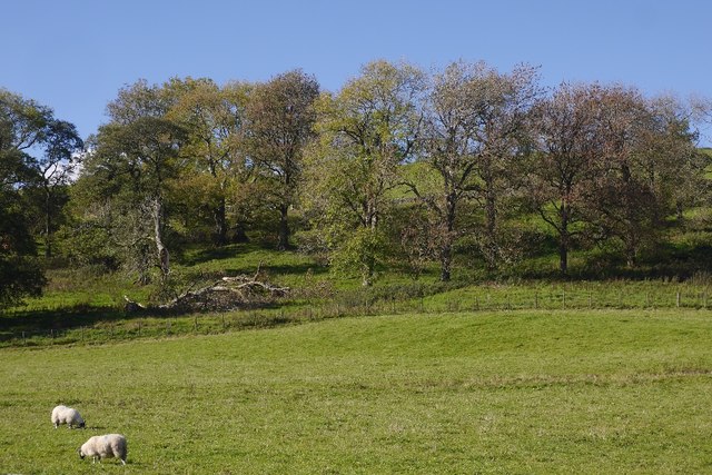
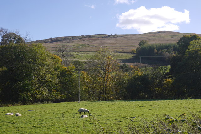
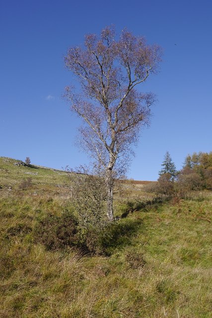
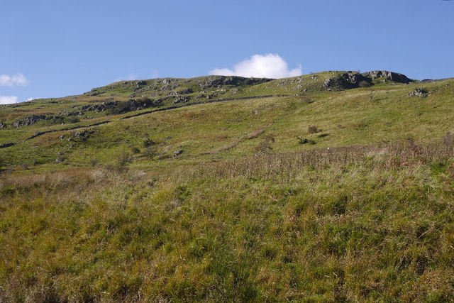
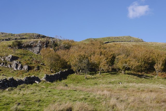
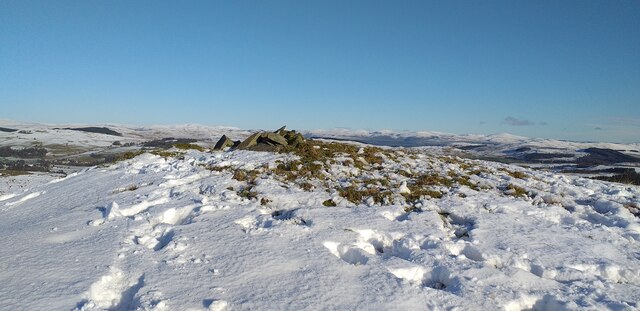
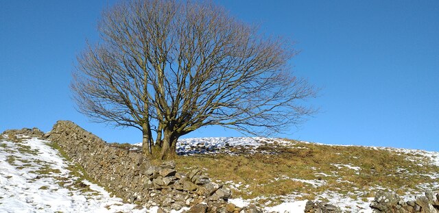
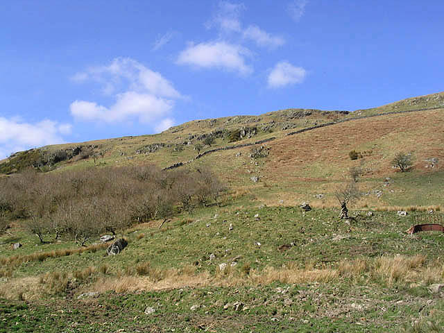
Ell Rig is a hill located in Dumfriesshire, Scotland. It is part of the Southern Uplands range and stands at an elevation of 662 meters (2,172 feet) above sea level. The hill is known for its rugged and rocky terrain, making it a popular destination for hikers and outdoor enthusiasts looking for a challenging climb.
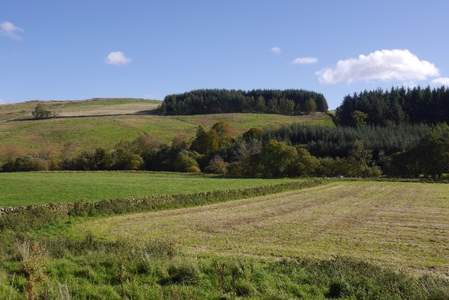
The summit of Ell Rig offers panoramic views of the surrounding countryside, including the rolling hills and valleys of Dumfriesshire. On a clear day, it is possible to see as far as the Solway Firth and the Lake District in England.
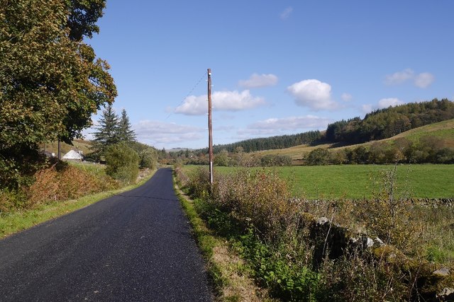
The hill is accessible via several walking routes, with the most common starting point being the village of Durisdeer. The ascent to the summit can be steep in places, but the reward of reaching the top and taking in the stunning scenery makes it well worth the effort.
Ell Rig is also home to a variety of wildlife, including birds of prey such as buzzards and kestrels, as well as sheep and other grazing animals. Visitors to the hill are advised to respect the natural environment and follow the Countryside Code to help preserve this beautiful landscape for future generations to enjoy.
If you have any feedback on the listing, please let us know in the comments section below.
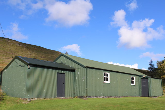
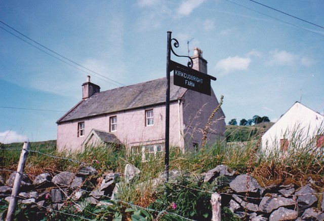
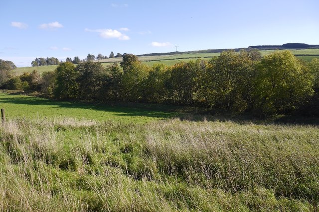
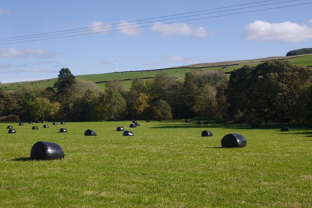
Ell Rig Images
Images are sourced within 2km of 55.169787/-3.9314472 or Grid Reference NX7787. Thanks to Geograph Open Source API. All images are credited.

Ell Rig is located at Grid Ref: NX7787 (Lat: 55.169787, Lng: -3.9314472)
Unitary Authority: Dumfries and Galloway
Police Authority: Dumfries and Galloway
What 3 Words
///servants.liability.daredevil. Near Thornhill, Dumfries & Galloway
Nearby Locations
Related Wikis

Moniaive railway station
Moniaive railway station is the closed station terminus of the Cairn Valley Light Railway (CVR) branch, from Dumfries. It served the rural area of Moniaive...

Moniaive
Moniaive ( 'monny-IVE'; Scottish Gaelic: Am Moine Naomh, "The Holy Moor") is a village in the Parish of Glencairn, in Dumfries and Galloway, southwest...

Crawfordton House
Crawfordton House is a category B listed 19th-century country house, situated close to Moniaive in Dumfriesshire, Scotland. It was operated as Crawfordton...

Cademuir International School
Cademuir International School was a specialist school at Moniaive in Dumfries and Galloway, Scotland. The school, founded by Robert Mulvey in 1990, was...
Nearby Amenities
Located within 500m of 55.169787,-3.9314472Have you been to Ell Rig?
Leave your review of Ell Rig below (or comments, questions and feedback).