Dyffryn-castell

Hill, Mountain in Cardiganshire

Wales

Dyffryn-castell

Road to Nant y Moch reservoir
Road to Nant y Moch reservoir Credit: Alan Hughes

The requested URL returned error: 429 Too Many Requests

If you have any feedback on the listing, please let us know in the comments section below.

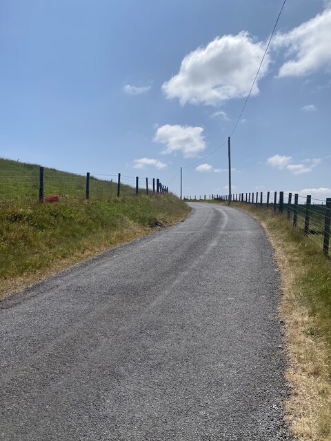
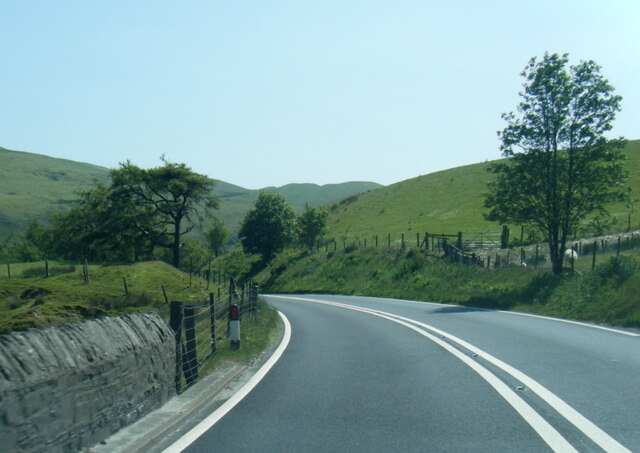
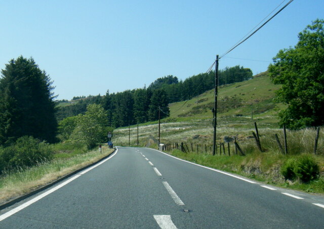
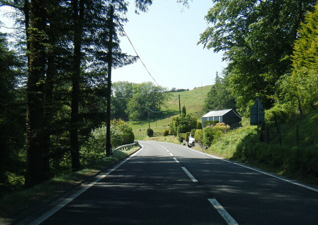
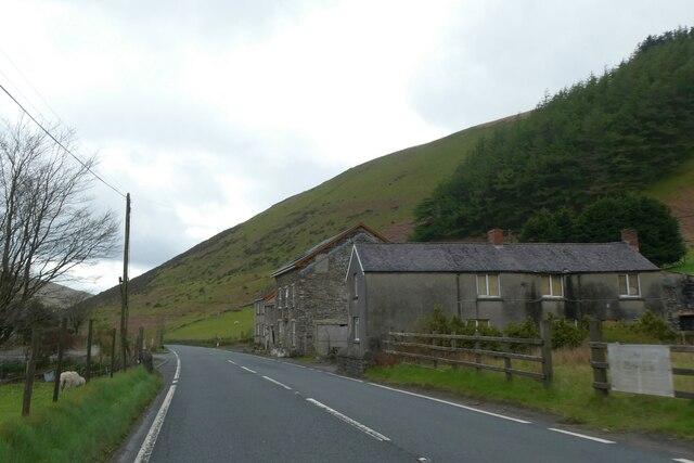
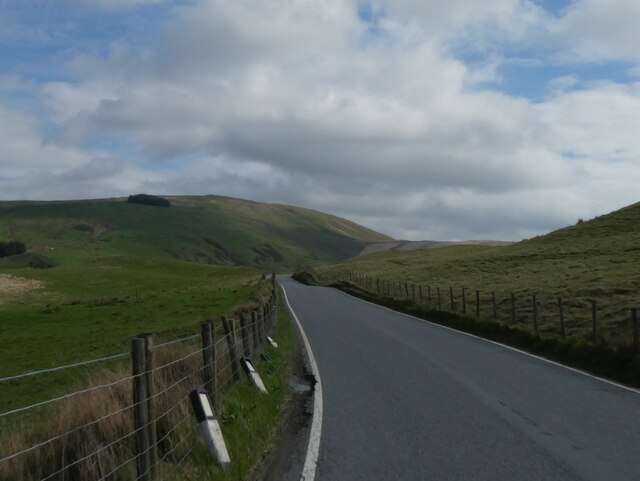
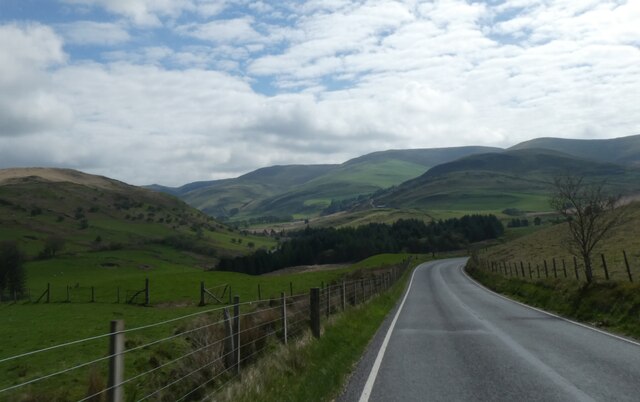
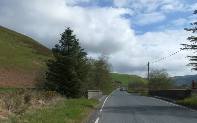
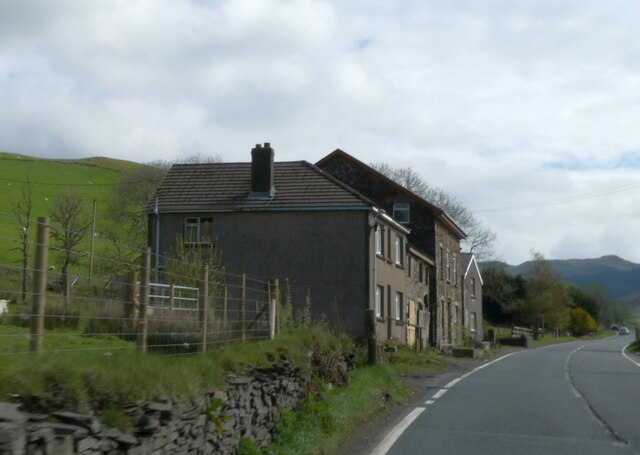
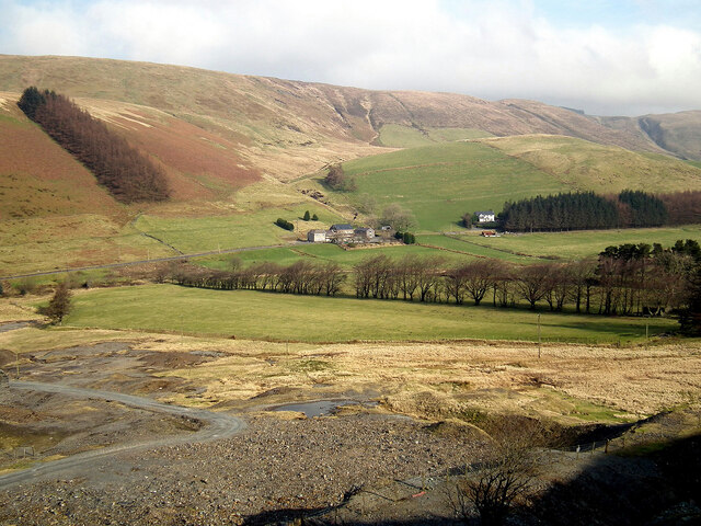
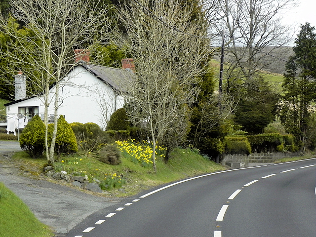
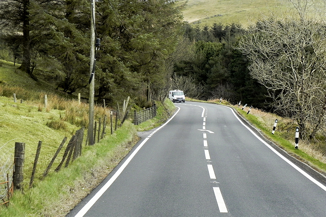
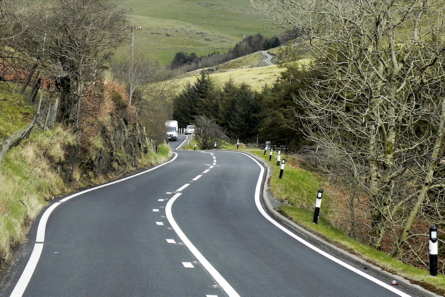
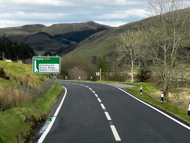
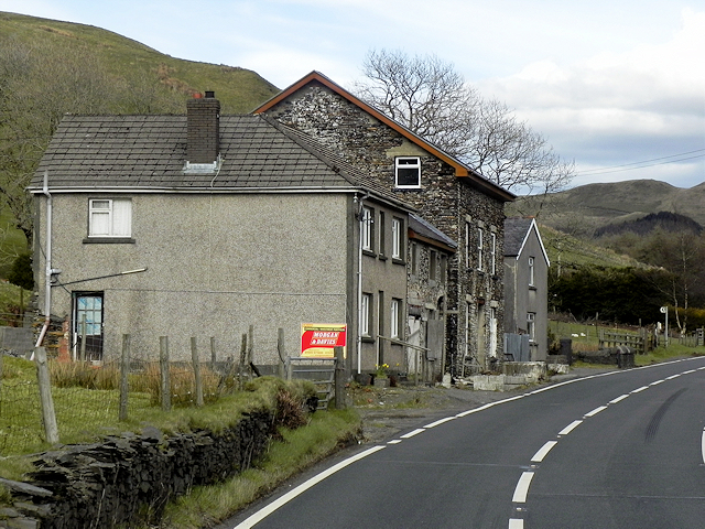
Dyffryn-castell Images

Images are sourced within 2km of 52.421759/-3.8092536 or Grid Reference SN7781. Thanks to Geograph Open Source API. All images are credited.

Road to Nant y Moch reservoir
A44 at Pont Nant Lladron
A44 nears Pont y Gelli
A44 approaching Ponterwyd
A44 in Dyffryn Castell
Road bend at Parcgwyn
B4343 north of Parcgwyn The road follows a contour round the hillside
B4343 north of Parcgwyn
The road follows a contour round the hillside
B4343 between moorland and grassland near Banc Bryn-chwith
Small bridge on the B4343 near Dyffryn Castell
Houses by A44 at  Dyffryn Castell
Houses by A44 at Dyffryn Castell
A view over Dyffryn Castell from the slopes of Fuchs Wen The Dyffryn Castell Hotel can be seen in the centre of the view. It was opened in 1830 as a staging post between Aberystwyth and Rhayader. The hotel was closed in 2010 for extensive refurbishment. Unfortunately, the refurbishment had stopped by the time of the photo and at the time of writing (2024) the hotel remains in a state of disrepair, with no work having been done for over a decade.
A view over Dyffryn Castell from the slopes of Fuchs Wen
The Dyffryn Castell Hotel can be seen in the centre of the view. It was opened in 1830 as a staging post between Aberystwyth and Rhayader. The hotel was closed in 2010 for extensive refurbishment. Unfortunately, the refurbishment had stopped by the time of the photo and at the time of writing (2024) the hotel remains in a state of disrepair, with no work having been done for over a decade.
Icy slopes of Drybedd Drybedd is a lesser hill in the Plynlimon range, rising to 566m.
Icy slopes of Drybedd
Drybedd is a lesser hill in the Plynlimon range, rising to 566m.
House on a Bend near Nant Cwta The A44 is a major road in the United Kingdom that runs for 155 miles from Oxford in southern England to Aberystwyth in west Wales.
<span class="nowrap"><a title="http://www.sabre-roads.org.uk/wiki/index.php?title=A44" rel="nofollow ugc noopener" href="http://www.sabre-roads.org.uk/wiki/index.php?title=A44">Link</a><img style="margin-left:2px;" alt="External link" title="External link - shift click to open in new window" src="https://s1.geograph.org.uk/img/external.png" width="10" height="10"/></span>  SABRE
<span class="nowrap"><a title="https://en.wikipedia.org/wiki/A44_road" rel="nofollow ugc noopener" href="https://en.wikipedia.org/wiki/A44_road">Link</a><img style="margin-left:2px;" alt="External link" title="External link - shift click to open in new window" src="https://s1.geograph.org.uk/img/external.png" width="10" height="10"/></span>  Wikipedia
House on a Bend near Nant Cwta
The A44 is a major road in the United Kingdom that runs for 155 miles from Oxford in southern England to Aberystwyth in west Wales. LinkExternal link SABRE LinkExternal link Wikipedia
A44, Glennydd
A44, Glennydd
Eastbound A44 near Derigalteisen The A44 is a major road in the United Kingdom that runs for 155 miles from Oxford in southern England to Aberystwyth in west Wales.
<span class="nowrap"><a title="http://www.sabre-roads.org.uk/wiki/index.php?title=A44" rel="nofollow ugc noopener" href="http://www.sabre-roads.org.uk/wiki/index.php?title=A44">Link</a><img style="margin-left:2px;" alt="External link" title="External link - shift click to open in new window" src="https://s1.geograph.org.uk/img/external.png" width="10" height="10"/></span>  SABRE
<span class="nowrap"><a title="https://en.wikipedia.org/wiki/A44_road" rel="nofollow ugc noopener" href="https://en.wikipedia.org/wiki/A44_road">Link</a><img style="margin-left:2px;" alt="External link" title="External link - shift click to open in new window" src="https://s1.geograph.org.uk/img/external.png" width="10" height="10"/></span>  Wikipedia
Eastbound A44 near Derigalteisen
The A44 is a major road in the United Kingdom that runs for 155 miles from Oxford in southern England to Aberystwyth in west Wales. LinkExternal link SABRE LinkExternal link Wikipedia
A44 Mountain Road East of Ponterwyd The stretch of the A44 between Capel Bangor and Llangurig is hilly with many bends as it climbs over/through part of the Cambrian Mountains.
A44 Mountain Road East of Ponterwyd
The stretch of the A44 between Capel Bangor and Llangurig is hilly with many bends as it climbs over/through part of the Cambrian Mountains.
A44 Mountain Road towards Llangurig The stretch of the A44 between Capel Bangor and Llangurig is hilly with many bends as it climbs over/through part of the Cambrian Mountains. The sign is giving advance notice of the junction with the B4343 which descends steeply to the right (south) towards Devil's Bridge.
A44 Mountain Road towards Llangurig
The stretch of the A44 between Capel Bangor and Llangurig is hilly with many bends as it climbs over/through part of the Cambrian Mountains. The sign is giving advance notice of the junction with the B4343 which descends steeply to the right (south) towards Devil's Bridge.
Dyffryn-castell A small settlement on the A44 mountain road between Ponterwyd and Llangurig.
Dyffryn-castell
A small settlement on the A44 mountain road between Ponterwyd and Llangurig.
Show me another place!

Dyffryn-castell is located at Grid Ref: SN7781 (Lat: 52.421759, Lng: -3.8092536)

Unitary Authority: Ceredigion

Police Authority: Dyfed Powys

What 3 Words

///refrain.sprinting.bloomers. Near Cwmystwyth, Ceredigion

Related Wikis

Blaenrheidol

Blaenrheidol is a community in the county of Ceredigion, North Wales. It lies in the Cambrian Mountains of Mid Wales, approximately 12 miles (19 km) east...

Y Glog (mountain)

Y Glog or Draws Drum is a mountain situated in Ceredigion, Wales. It stands at an elevation of 574 metres (1883 feet) above sea level and is located a...

Ponterwyd

Ponterwyd (Welsh pronunciation: [pɔntˈerʊi̯d]) is a village in Ceredigion, Wales. It lies in the Cambrian Mountains of Mid Wales, approximately 12 miles...

Y Garn (Plynlimon)

Y Garn is a subsidiary summit of Pen Pumlumon Fawr and the fourth highest peak on the Plynlimon massif, a part of the Cambrian Mountains in the county...

Nearby Amenities

Located within 500m of 52.421759,-3.8092536
Post Box
Collection Times: Mo-Sa 11:00
Post Box Design: waggon_top
Post Box Mounting: telegraph_pole
Post Box Type: lamp
Ref: SY23 179
Royal Cypher: GVIR
Royal Cypher Wikidata: Q33102169
Lat/Long: 52.4190633/-3.8040858
The data included in this document is from www.openstreetmap.org. The data is made available under ODbL.

Have you been to Dyffryn-castell?

Leave your review of Dyffryn-castell below (or comments, questions and feedback).