Parishholm Hill

Hill, Mountain in Lanarkshire

Scotland

Parishholm Hill

The Douglas Water
The Douglas Water Credit: Chris Wimbush

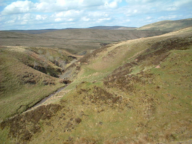
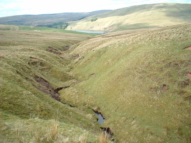
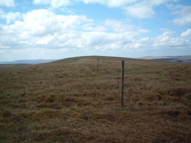
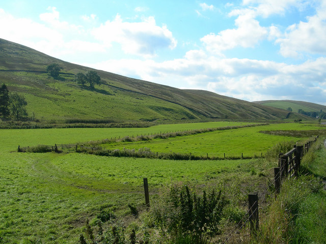
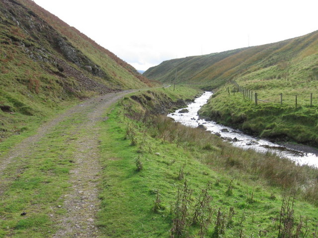
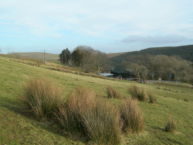
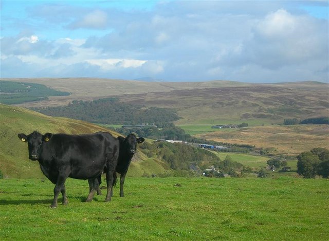
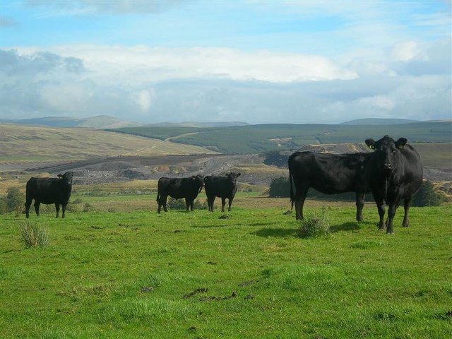
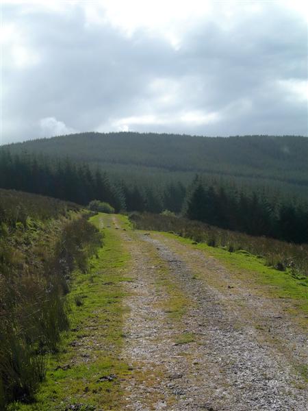
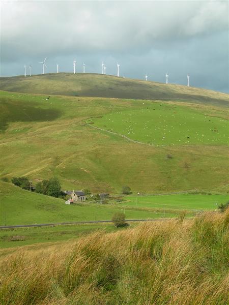
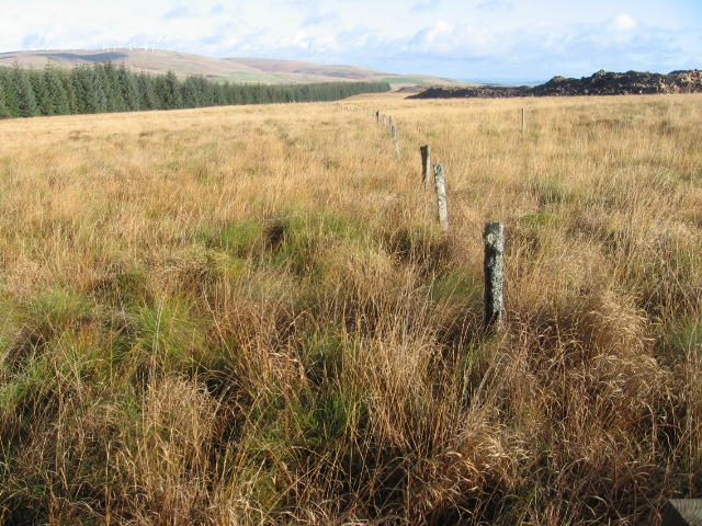
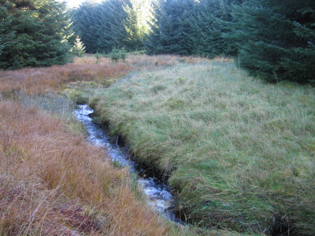
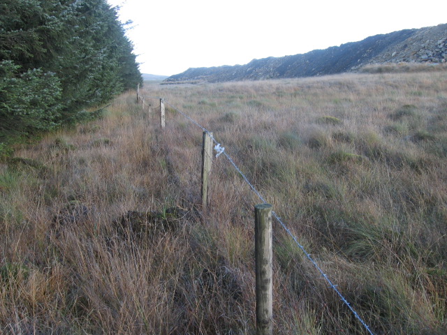
Parishholm Hill is a prominent landmark located in Lanarkshire, Scotland. Rising to an elevation of approximately 500 meters, this hill offers stunning panoramic views of the surrounding countryside. The hill is covered in lush greenery, with a variety of plant and animal species making their home on its slopes.

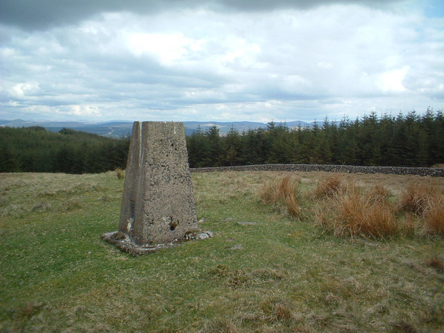
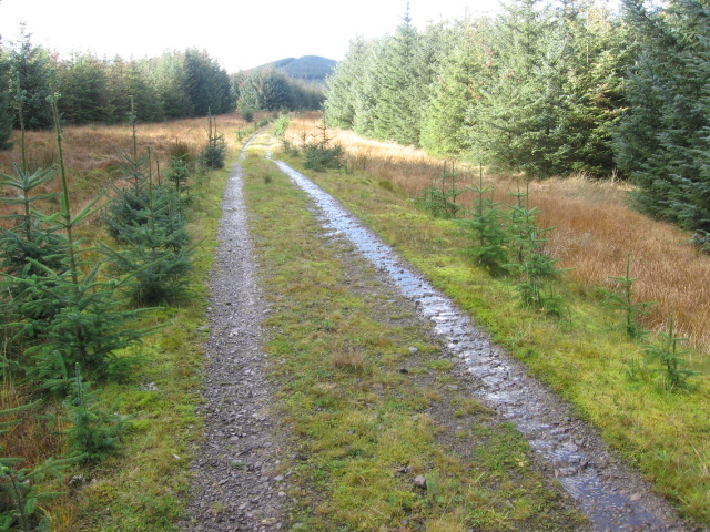
Parishholm Hill is a popular destination for hikers and outdoor enthusiasts, with a network of trails crisscrossing its rugged terrain. The hill provides a challenging but rewarding climb for those looking to test their fitness levels and enjoy the beauty of the Scottish countryside.

At the summit of Parishholm Hill, visitors are treated to breathtaking views of the rolling hills, forests, and farmland that stretch out below. On a clear day, it is possible to see for miles around, making it a perfect spot for photography and taking in the natural beauty of Lanarkshire.

Overall, Parishholm Hill is a must-visit destination for anyone looking to experience the beauty and tranquility of the Scottish countryside. Its natural charm and stunning views make it a cherished spot for both locals and visitors alike.

If you have any feedback on the listing, please let us know in the comments section below.

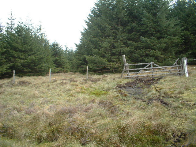
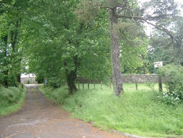
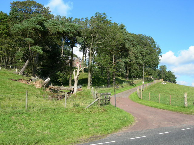
Parishholm Hill Images

Images are sourced within 2km of 55.52375/-3.9489641 or Grid Reference NS7727. Thanks to Geograph Open Source API. All images are credited.

The Douglas Water
The Douglas Water
Ree Burn, Glenbuck Loch visible behind
Trig point on Parishholm Hill
Urit Hill
Urit Hill
Old gate and firebreak into the forest
Parish Holm
Parish Holm
Debog Farm Well sheltered by its protective trees, Debog lies on the southern slopes of Shiel Hill, overlooking Douglas Water
Debog Farm
Well sheltered by its protective trees, Debog lies on the southern slopes of Shiel Hill, overlooking Douglas Water
Douglas Water Valley Looking W up the Douglas Water valley.  Here the stream skirts the edge of Parishholm Hill.
Douglas Water Valley
Looking W up the Douglas Water valley. Here the stream skirts the edge of Parishholm Hill.
Track by Monks Water
Debog Farm Looking down from the hill grazing towards the farmstead.
Debog Farm
Looking down from the hill grazing towards the farmstead.
Field With A View Cattle on improved grazing land near Glespin.  In the background: the A70 and the headquarters of a local haulage company.
Field With A View
Cattle on improved grazing land near Glespin. In the background: the A70 and the headquarters of a local haulage company.
Cattle And Coal Cattle grazing on improved farmland.  In the background: Glentaggart Open Cast Coal Site.
Cattle And Coal
Cattle grazing on improved farmland. In the background: Glentaggart Open Cast Coal Site.
Farm Track This track follows the high ground between Douglas Water and Carmacoup Burn, on its way to Parishholm Hill.
Farm Track
This track follows the high ground between Douglas Water and Carmacoup Burn, on its way to Parishholm Hill.
Monksfoot Farm This view shows the older farm buildings and the A70 on the valley floor, with both rough and improved grazing land on the hillside.  The wind turbines (55m high) in the background are located on Common Hill, and are part of Hagshaw windfarm.
Monksfoot Farm
This view shows the older farm buildings and the A70 on the valley floor, with both rough and improved grazing land on the hillside. The wind turbines (55m high) in the background are located on Common Hill, and are part of Hagshaw windfarm.
Chapel Hill towards forest and opencast coal site
A tributary of Carmacoup Burn
Between forest and opencast mine
Forest track towards Parishholm Hill
Show me another place!

Parishholm Hill is located at Grid Ref: NS7727 (Lat: 55.52375, Lng: -3.9489641)

Unitary Authority: South Lanarkshire

Police Authority: Lanarkshire

What 3 Words

///badly.class.lamenting. Near Douglas, South Lanarkshire

Nearby Locations

Parishholm Hill

Related Wikis

Inches railway station

Inches railway station co-served the hamlet of Glespin, South Lanarkshire, Scotland, from 1874 to 1964 on the Muirkirk Branch. == History == The station...

Glenbuck

Glenbuck (Scottish Gaelic: Gleann Buic) is a small, remote village in East Ayrshire. It is nestled in the hills 3 miles (5 km) east of Muirkirk, East Ayrshire...

Glenbuck railway station

Glenbuck railway station served the village of Glenbuck in Ayrshire, Scotland. == Opening == The Caledonian Railway extended a line from Douglas to Muirkirk...

Glespin

Glespin is a hamlet in South Lanarkshire, Scotland. It is on the A70, east of Muirkirk and west of Douglas. == Notable people == Footballer Bobby Crawford...

Have you been to Parishholm Hill?

Leave your review of Parishholm Hill below (or comments, questions and feedback).