Ellrig Moss
Downs, Moorland in Dumfriesshire
Scotland
Ellrig Moss
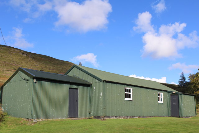
Ellrig Moss is a remarkable area located in Dumfriesshire, Scotland. Spread across several acres, this captivating landscape presents a unique blend of downs and moorland, making it a must-visit destination for nature enthusiasts.
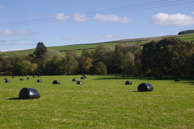
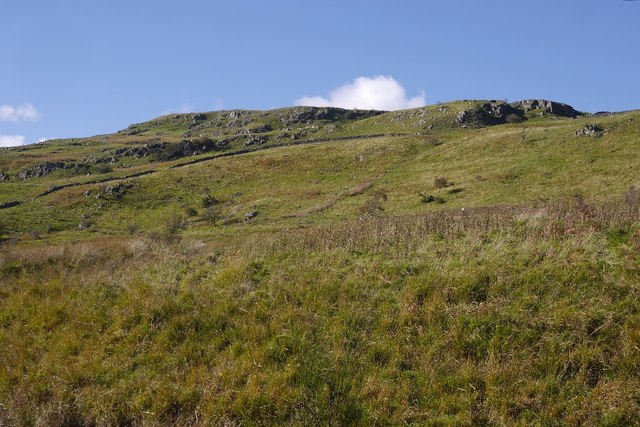
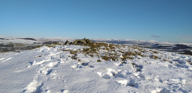
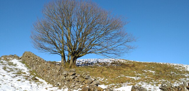
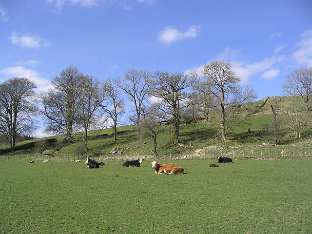
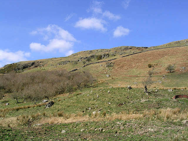
The downs of Ellrig Moss are characterized by gently sloping hills covered in lush green grasses. These open spaces offer breathtaking panoramic views of the surrounding countryside, with rolling hills stretching as far as the eye can see. The downs are home to a diverse range of plant and animal species, including heather, bracken, and various grasses, providing a rich habitat for wildlife.
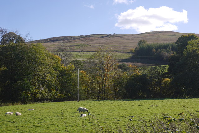
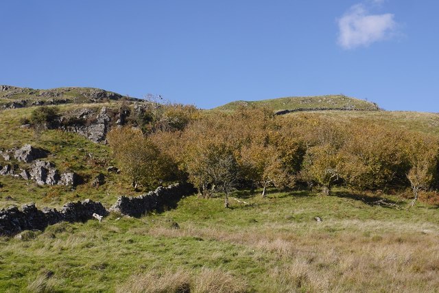
Moving deeper into Ellrig Moss, visitors will encounter the enchanting moorland. This part of the landscape is characterized by extensive stretches of wet, peaty ground, interspersed with patches of heather and other hardy vegetation. The moorland is a haven for birdwatchers, as it attracts a wide variety of avian species, including curlews, lapwings, and red grouse.
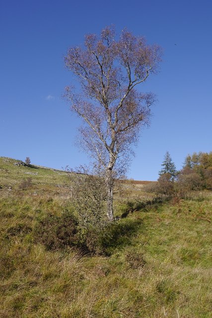
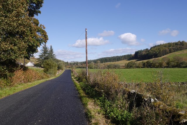
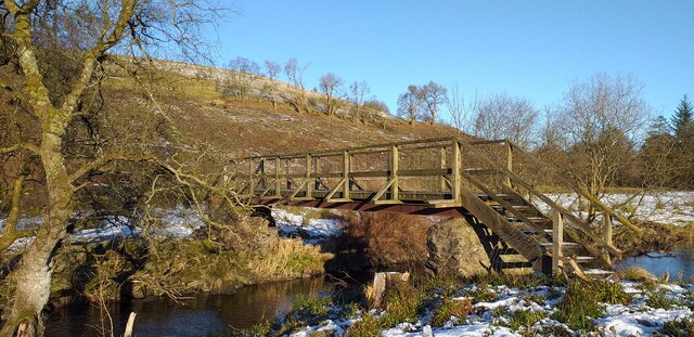
Nature lovers can explore Ellrig Moss by following the well-maintained walking trails that wind through the area. These paths offer an excellent opportunity to observe the diverse flora and fauna up close, as well as to appreciate the tranquility and natural beauty of this unspoiled wilderness.
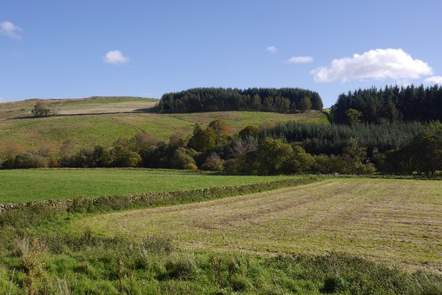
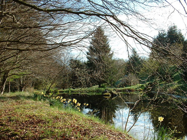
Ellrig Moss, Dumfriesshire, is a captivating landscape that showcases the natural beauty of downs and moorland. With its stunning vistas, diverse wildlife, and peaceful atmosphere, it is a destination that will leave visitors with lasting memories.
If you have any feedback on the listing, please let us know in the comments section below.
Ellrig Moss Images
Images are sourced within 2km of 55.165719/-3.9318 or Grid Reference NX7787. Thanks to Geograph Open Source API. All images are credited.


Ellrig Moss is located at Grid Ref: NX7787 (Lat: 55.165719, Lng: -3.9318)
Unitary Authority: Dumfries and Galloway
Police Authority: Dumfries and Galloway
What 3 Words
///seabirds.rents.moguls. Near Thornhill, Dumfries & Galloway
Nearby Locations
Related Wikis

Moniaive railway station
Moniaive railway station is the closed station terminus of the Cairn Valley Light Railway (CVR) branch, from Dumfries. It served the rural area of Moniaive...

Moniaive
Moniaive ( 'monny-IVE'; Scottish Gaelic: Am Moine Naomh, "The Holy Moor") is a village in the Parish of Glencairn, in Dumfries and Galloway, southwest...

Crawfordton House
Crawfordton House is a category B listed 19th-century country house, situated close to Moniaive in Dumfriesshire, Scotland. It was operated as Crawfordton...

Cademuir International School
Cademuir International School was a specialist school at Moniaive in Dumfries and Galloway, Scotland. The school, founded by Robert Mulvey in 1990, was...

Craigdarroch
"Craigdarroch, An Accessory to Murder" is an expansion set for the board game Kill Doctor Lucky Craigdarroch is a house near Moniaive, Dumfries and Galloway...
Kirkland railway station
Kirkland railway station (NX810897) was one of the minor stations on the Cairn Valley Light Railway branch, from Dumfries. It served the rural area around...

Glencairn, Dumfries and Galloway
Glencairn is an ecclesiastical and civil parish in Dumfries and Galloway, Scotland. == Location == According to John Bartholomew's 1887 Gazetteer of the...

Craigenputtock
Craigenputtock (usually spelled by the Carlyles as Craigenputtoch) is an estate in Scotland where Thomas Carlyle lived from 1828 to 1834. He wrote several...
Nearby Amenities
Located within 500m of 55.165719,-3.9318Have you been to Ellrig Moss?
Leave your review of Ellrig Moss below (or comments, questions and feedback).