Meikle Hill

Hill, Mountain in Perthshire

Scotland

Meikle Hill

Field, Dunblane Not yet built upon but one lane of the old A9 was closed and there was some Heras fencing up. Something may be happening.
Field, Dunblane Credit: Richard Webb

The requested URL returned error: 429 Too Many Requests

If you have any feedback on the listing, please let us know in the comments section below.
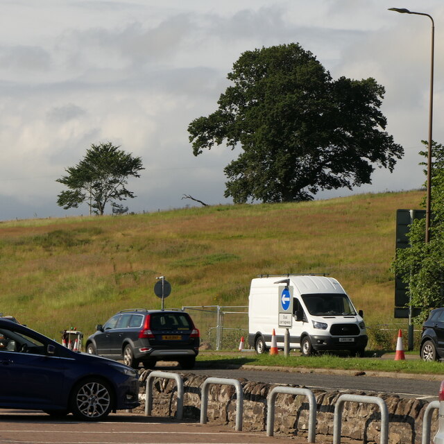
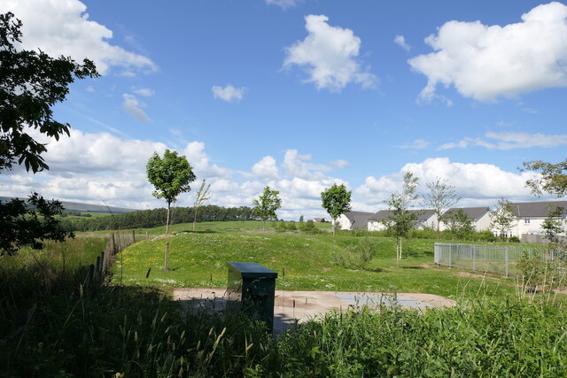
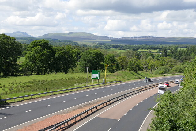
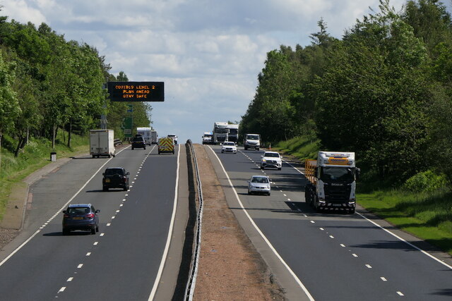
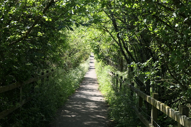
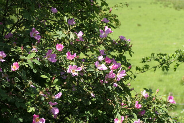
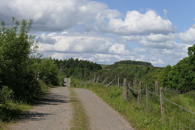
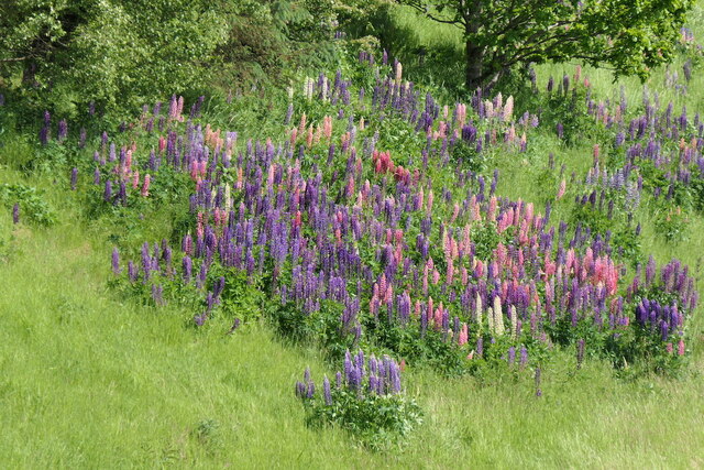
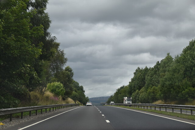
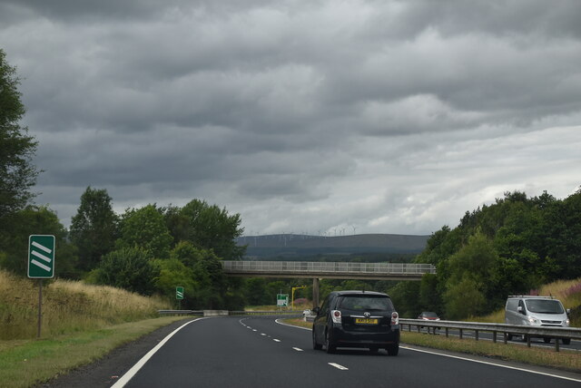
Meikle Hill Images

Images are sourced within 2km of 56.169147/-3.9823163 or Grid Reference NS7799. Thanks to Geograph Open Source API. All images are credited.

Field, Dunblane Not yet built upon but one lane of the old A9 was closed and there was some Heras fencing up. Something may be happening.
Field, Dunblane
Not yet built upon but one lane of the old A9 was closed and there was some Heras fencing up. Something may be happening.
Culdee Grove, Dunblane View from Old Doune Road. There is still a lot of land between the edge of town and the bypass that has not yet been built upon.
Culdee Grove, Dunblane
View from Old Doune Road. There is still a lot of land between the edge of town and the bypass that has not yet been built upon.
A9 Dunblane bypass With average speed camera.
A9 Dunblane bypass
With average speed camera.
A9 Dunblane bypass Covid-19 warning on the variable sign.  By this time the levels had lost all connection with reality.
A9 Dunblane bypass
Covid-19 warning on the variable sign. By this time the levels had lost all connection with reality.
Old Doune Road Descent from the bridge over the A9 towards Dunblane High School's playing field.
Old Doune Road
Descent from the bridge over the A9 towards Dunblane High School's playing field.
Roses, Old Doune Road
Road off Old Doune Road Connects Old Doune Road with the A820 and provides vehicular access to Dunblane High School's playing fields.
Road off Old Doune Road
Connects Old Doune Road with the A820 and provides vehicular access to Dunblane High School's playing fields.
Lupins beside the A9
A9, Dunblane bypass The A9 is a strategic link between the Highlands of Scotland and the Central Belt. It runs 279 miles from junction 5 of the M9 at Polmont to Scrabster. Originally it ran from Edinburgh.
<span class="nowrap"><a title="https://www.sabre-roads.org.uk/wiki/index.php?title=A9" rel="nofollow ugc noopener" href="https://www.sabre-roads.org.uk/wiki/index.php?title=A9">Link</a><img style="margin-left:2px;" alt="External link" title="External link - shift click to open in new window" src="https://s1.geograph.org.uk/img/external.png" width="10" height="10"/></span>
A9, Dunblane bypass
The A9 is a strategic link between the Highlands of Scotland and the Central Belt. It runs 279 miles from junction 5 of the M9 at Polmont to Scrabster. Originally it ran from Edinburgh. LinkExternal link
Footbridge over A9 The A9 is a strategic link between the Highlands of Scotland and the Central Belt. It runs 279 miles from junction 5 of the M9 at Polmont to Scrabster. Originally it ran from Edinburgh.
<span class="nowrap"><a title="https://www.sabre-roads.org.uk/wiki/index.php?title=A9" rel="nofollow ugc noopener" href="https://www.sabre-roads.org.uk/wiki/index.php?title=A9">Link</a><img style="margin-left:2px;" alt="External link" title="External link - shift click to open in new window" src="https://s1.geograph.org.uk/img/external.png" width="10" height="10"/></span>
Footbridge over A9
The A9 is a strategic link between the Highlands of Scotland and the Central Belt. It runs 279 miles from junction 5 of the M9 at Polmont to Scrabster. Originally it ran from Edinburgh. LinkExternal link
M & S Foodhall Supermarket near the outskirts of Dunblane.
M & S Foodhall
Supermarket near the outskirts of Dunblane.
The A9 Seen from a lay-by beside the A9 at Dunblane.
The A9
Seen from a lay-by beside the A9 at Dunblane.
Lay-by on the A9 A lay-by beside the A9 at Dunblane.
Lay-by on the A9
A lay-by beside the A9 at Dunblane.
Row OS Surface Block
Location of Row OS Surface Block
Hillside Farm Steading Part of the original Hillside Farm which was converted into houses in 2000
Hillside Farm Steading
Part of the original Hillside Farm which was converted into houses in 2000
Biggins Farm
Biggins Farm
Allan water Downstream view from B8033 bridge over Allan water
Allan water
Downstream view from B8033 bridge over Allan water
Show me another place!

Meikle Hill is located at Grid Ref: NS7799 (Lat: 56.169147, Lng: -3.9823163)

Unitary Authority: Stirling

Police Authority: Forth Valley

What 3 Words

///pace.owls.huddling. Near Dunblane, Stirling

Related Wikis

Keir House

Keir House is a large country house near Stirling in central Scotland. It is located in the parish of Lecropt, 2.5 kilometres (1.6 mi) north-west of Bridge...

Lecropt

Lecropt (Leac Croit in Gaelic) is a rural parish lying to the west of Bridge of Allan, Scotland. The population of the parish of Lecropt is estimated to...

Duckburn Park

Duckburn Park was a football ground in Dunblane, Scotland. It was the home ground of Dunblane and Dunblane Rovers, and hosted a single Scottish Football...

Dunblane

Dunblane (, Scottish Gaelic: Dùn Bhlàthain) is a small town in the council area of Stirling in central Scotland, and inside the historic boundaries of...

Nearby Amenities

Located within 500m of 56.169147,-3.9823163
Power: pole
Lat/Long: 56.1679282/-3.9830098
Power: pole
Lat/Long: 56.1684243/-3.9824869
Power: pole
Lat/Long: 56.1688517/-3.9820895
Power: pole
Lat/Long: 56.1691405/-3.9809536
Power: pole
Lat/Long: 56.1693455/-3.980119
Power: pole
Lat/Long: 56.1694945/-3.9796756
Power: pole
Lat/Long: 56.169802/-3.9788326
Power: pole
Lat/Long: 56.1701059/-3.9780273
Power: pole
Lat/Long: 56.1708582/-3.9772868
Material: wood
Power: pole
Lat/Long: 56.1713228/-3.9768392
Power: pole
Lat/Long: 56.1717223/-3.9758895
Power: pole
Lat/Long: 56.1709467/-3.9762493
Material: wood
Power: pole
Lat/Long: 56.1704867/-3.9755402
The data included in this document is from www.openstreetmap.org. The data is made available under ODbL.

Have you been to Meikle Hill?

Leave your review of Meikle Hill below (or comments, questions and feedback).