Holmhead Hill

Hill, Mountain in Kirkcudbrightshire

Scotland

Holmhead Hill

Gravestones on north side of church at Corsock The small church at Corsock lies outside the village, south-east of it, and alongside the A712.
The green building beside it is a church hall of lower architectural merit but doubtless of value to the local community.
Gravestones on north side of church at Corsock Credit: Trevor Littlewood

The requested URL returned error: 429 Too Many Requests

If you have any feedback on the listing, please let us know in the comments section below.

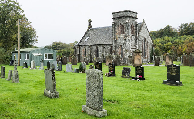
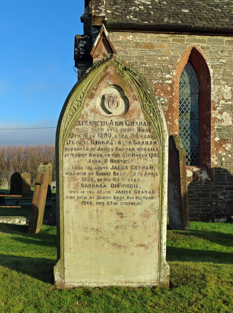
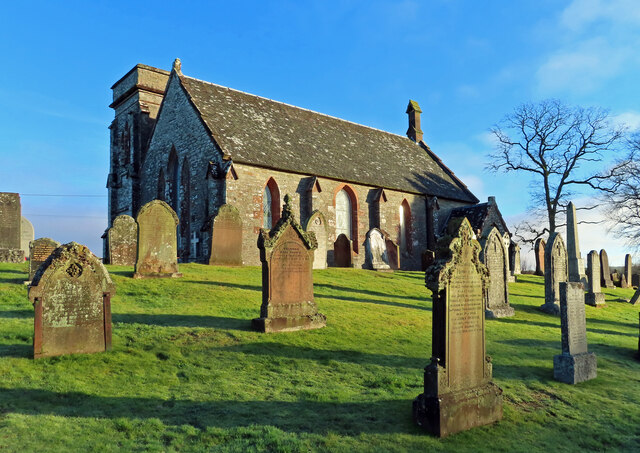
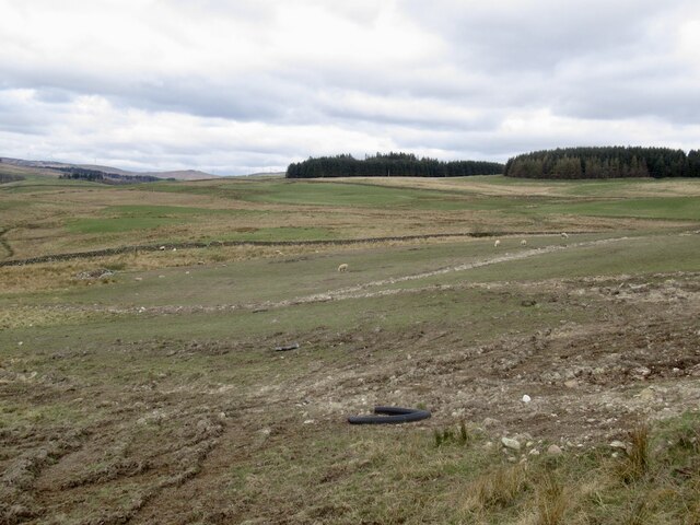
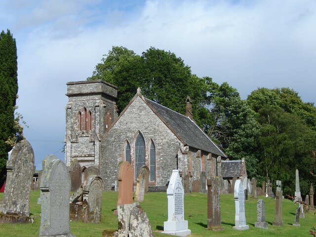
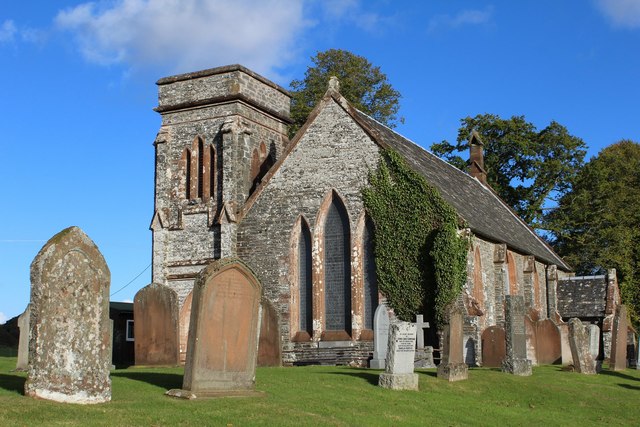
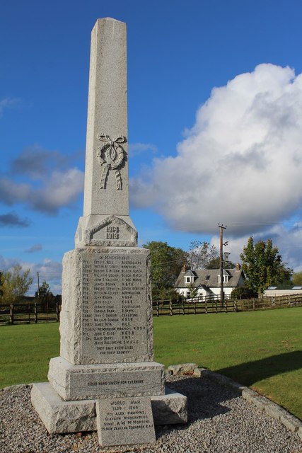
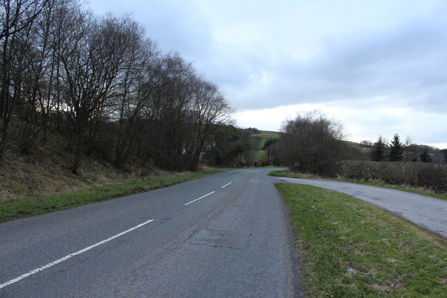
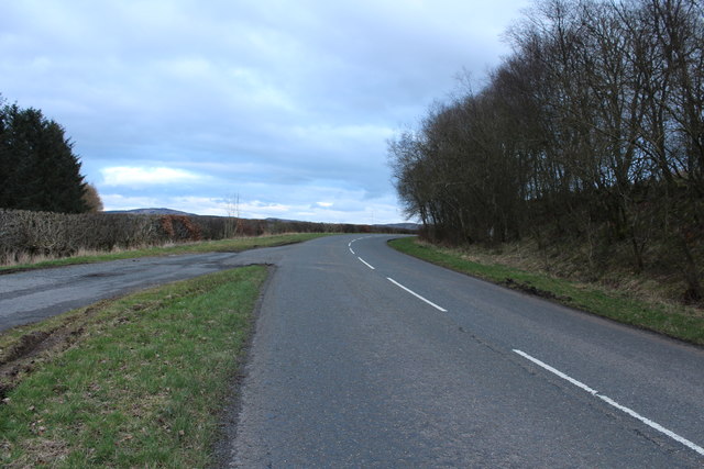
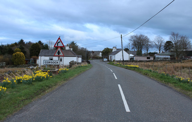
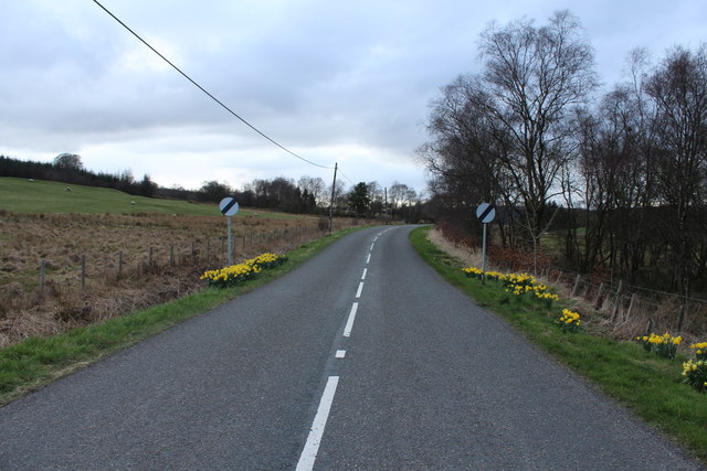
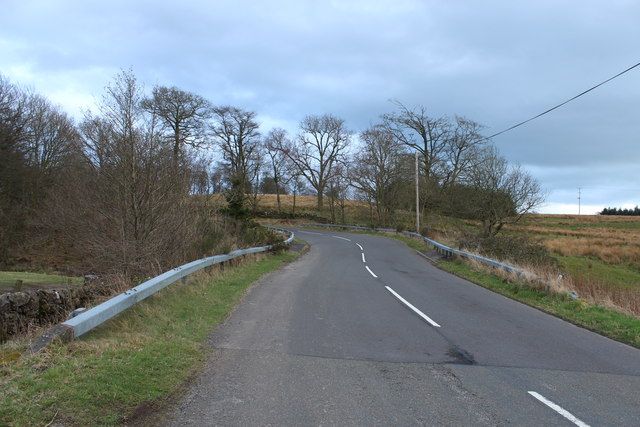
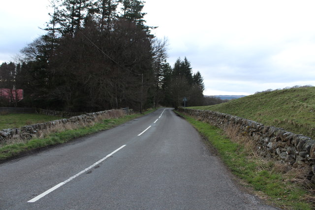
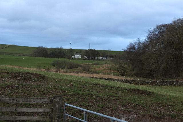
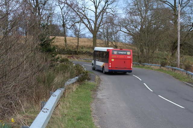
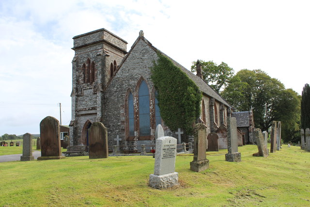
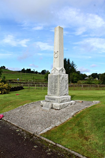
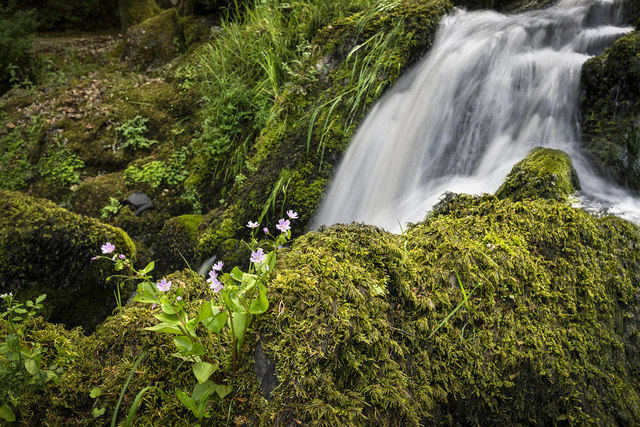
Holmhead Hill Images

Images are sourced within 2km of 55.06574/-3.9284043 or Grid Reference NX7676. Thanks to Geograph Open Source API. All images are credited.

Gravestones on north side of church at Corsock The small church at Corsock lies outside the village, south-east of it, and alongside the A712.
The green building beside it is a church hall of lower architectural merit but doubtless of value to the local community.
Gravestones on north side of church at Corsock
The small church at Corsock lies outside the village, south-east of it, and alongside the A712. The green building beside it is a church hall of lower architectural merit but doubtless of value to the local community.
Corsock & Kirkpatrick Durham graveyard There seems to be a local custom of recording the place of death on the old headstones. This one marks the burial place of the Graham family, all of whom died at Sunny Brae. The stone records the sad story of a 6-month-old child’s death in 1892, with her parents reaching their eighties in 1932 and 1946. No other children are recorded on the stone.
Corsock & Kirkpatrick Durham graveyard
There seems to be a local custom of recording the place of death on the old headstones. This one marks the burial place of the Graham family, all of whom died at Sunny Brae. The stone records the sad story of a 6-month-old child’s death in 1892, with her parents reaching their eighties in 1932 and 1946. No other children are recorded on the stone.
Corsock & Kirkpatrick Durham Church A winter view of the building which dates from 1839.
Corsock & Kirkpatrick Durham Church
A winter view of the building which dates from 1839.
Rough pasture, Cairny Hill
Corsock and Kirkpatrick Durham church and churchyard, Corsock
Corsock & Kirkpatrick Durham Church Category B-listed. Built 1839.
Corsock & Kirkpatrick Durham Church
Category B-listed. Built 1839.
Corsock War Memorial
A712 at Langtoo Bank
The A712 to Crocketford
Arriving at Corsock
Arriving at Corsock
Road to Balmaclellan
A712 at Drumhumphry Bridge
A712 to Corsock
A712 to Corsock
Farmland at Drumhumphry
Stagecoach Bus at Drumhumphry Bridge
Corsock and Kirkpatrick Durham Church
Corsock War Memorial
Corsock House Garden <span class="nowrap"><a title="https://flic.kr/p/28aqrwa" rel="nofollow ugc noopener" href="https://flic.kr/p/28aqrwa">Link</a><img style="margin-left:2px;" alt="External link" title="External link - shift click to open in new window" src="https://s1.geograph.org.uk/img/external.png" width="10" height="10"/></span>
Corsock House Garden
Show me another place!

Holmhead Hill is located at Grid Ref: NX7676 (Lat: 55.06574, Lng: -3.9284043)

Unitary Authority: Dumfries and Galloway

Police Authority: Dumfries and Galloway

What 3 Words

///conveying.bubbles.flatten. Near Castle Douglas, Dumfries & Galloway

Related Wikis

Corsock

Corsock (Scottish Gaelic: Corsag) is a village in the historical county of Kirkcudbrightshire, Dumfries and Galloway, south-west Scotland. It is located...

Glenlair House

Glenlair, near the village of Corsock in the historical county of Kirkcudbrightshire, in Dumfries and Galloway, was the home of the physicist James Clerk...

Dumfries and Galloway

Dumfries and Galloway (Scots: Dumfries an Gallowa; Scottish Gaelic: Dùn Phrìs is Gall-Ghaidhealaibh) is one of the 32 unitary council areas of Scotland...

Kilquhanity School

Kilquhanity School was one of several free schools to have been established in the United Kingdom in the twentieth century. Others include Sands School...

Nearby Amenities

Located within 500m of 55.06574,-3.9284043
Power: pole
Lat/Long: 55.062625/-3.9327586
Power: pole
Lat/Long: 55.0668976/-3.9359432
Power: pole
Lat/Long: 55.0666591/-3.9347832
Power: pole
Lat/Long: 55.0663003/-3.9329774
The data included in this document is from www.openstreetmap.org. The data is made available under ODbL.

Have you been to Holmhead Hill?

Leave your review of Holmhead Hill below (or comments, questions and feedback).