Standingstone Hill

Hill, Mountain in Kirkcudbrightshire

Scotland

Standingstone Hill

Blackford Bridge The remaining visible parapet of Blackford Bridge crossing Blackford Burn on the old A711, left when it was straightened.
Blackford Bridge Credit: Jon Alexander

Standingstone Hill is a prominent hill located in Kirkcudbrightshire, Scotland. Situated near the town of Gatehouse of Fleet, the hill is part of the larger Galloway Hills range. Standingstone Hill stands at an elevation of approximately 309 meters (1,014 feet) above sea level.

The hill derives its name from a large standing stone that can be found near its summit. The stone is believed to date back to the Bronze Age and is thought to have had some ceremonial or religious significance to the ancient inhabitants of the area.

The hill itself is characterized by its gentle slopes and grassy terrain, making it a popular destination for hikers and nature enthusiasts. The summit offers breathtaking panoramic views of the surrounding countryside, including the picturesque landscape of Galloway Forest Park and nearby Loch Ken.

Standingstone Hill is home to a diverse range of flora and fauna, with heather, gorse, and bracken covering its slopes. Birdwatchers may spot a variety of species, including buzzards, kestrels, and peregrine falcons soaring overhead. The hill also supports a population of red deer and roe deer.

Access to Standingstone Hill is relatively easy, with several footpaths and trails leading to the summit. The area is well-maintained and offers ample parking facilities for visitors. Whether one is seeking a leisurely walk or a more challenging hike, Standingstone Hill provides a stunning natural setting for outdoor enthusiasts to explore.

If you have any feedback on the listing, please let us know in the comments section below.

Standingstone Hill Images

Images are sourced within 2km of 54.823995/-3.916738 or Grid Reference NX7649. Thanks to Geograph Open Source API. All images are credited.

Blackford Bridge The remaining visible parapet of Blackford Bridge crossing Blackford Burn on the old A711, left when it was straightened.
Blackford Bridge
The remaining visible parapet of Blackford Bridge crossing Blackford Burn on the old A711, left when it was straightened.
Farm Track by Standingstone Burn Farm track running parallel with Standingstone Burn.
Farm Track by Standingstone Burn
Farm track running parallel with Standingstone Burn.
Approaching Stockmoss Smithy A short way south of the A711 road.
Approaching Stockmoss Smithy
A short way south of the A711 road.
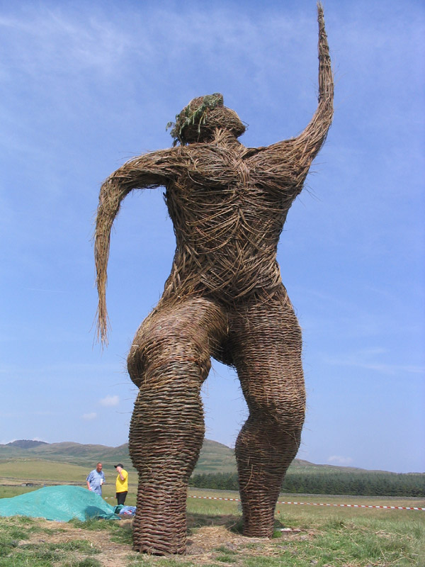
A Wicker Man A sculpture of a wicker man, next to the road, between Dundrennan and Auchencairn.
A Wicker Man
A sculpture of a wicker man, next to the road, between Dundrennan and Auchencairn.
The Wickerman Festival field An annual Wickerman Festival is held in this field. Apart from the many, many bands, the highlight is when the Wickerman is burnt at midnight on the Saturday. This year's dates are 22nd and 23rd July 2011. Suie Hill is in the distance.
The Wickerman Festival field
An annual Wickerman Festival is held in this field. Apart from the many, many bands, the highlight is when the Wickerman is burnt at midnight on the Saturday. This year's dates are 22nd and 23rd July 2011. Suie Hill is in the distance.
Looking east on the A711 This view is taken from the gateway into the Wickerman Festival field. Burnside Bridge can be seen in the middle distance.
Looking east on the A711
This view is taken from the gateway into the Wickerman Festival field. Burnside Bridge can be seen in the middle distance.
Looking west on the A711 This view is taken from the gateway into the Wickerman Festival field.
Looking west on the A711
This view is taken from the gateway into the Wickerman Festival field.
Layby and viewpoint Viewpoint
Layby and viewpoint
Viewpoint
The Wickerman Every summer [usually July] the Wickerman is burnt and a new one replaces the old.
The Wickerman
Every summer [usually July] the Wickerman is burnt and a new one replaces the old.
In the Wickerman field, looking northeast
In the Wickerman field, looking northwest
The edge of the Wickerman field
Looking towards a mast on Standingstone hill The field, in the foreground, is the Wickerman field.
Looking towards a mast on Standingstone hill
The field, in the foreground, is the Wickerman field.
Looking across the A711 The view is taken from the gateway into the Wickerman field.
Looking across the A711
The view is taken from the gateway into the Wickerman field.
Looking south across the A711 This is the view from the entrance to the Wickerman field.
Looking south across the A711
This is the view from the entrance to the Wickerman field.
Viewpoint and information plaque This viewpoint and lay-by was created when the A711 was straightened.
Viewpoint and information plaque
This viewpoint and lay-by was created when the A711 was straightened.
Lay-by looking southwest This used to be the A711 before it was straightened.
Lay-by looking southwest
This used to be the A711 before it was straightened.
Lay-by off the A711 looking north This lay-by was once the A711 before the road was straightened.
Lay-by off the A711 looking north
This lay-by was once the A711 before the road was straightened.
Show me another place!

Standingstone Hill is located at Grid Ref: NX7649 (Lat: 54.823995, Lng: -3.916738)

Unitary Authority: Dumfries and Galloway

Police Authority: Dumfries and Galloway

What 3 Words

///shifting.plugs.insert. Near Kirkcudbright, Dumfries & Galloway

Nearby Locations

Standingstone Hill

Related Wikis

Wickerman Festival

The Wickerman Festival was an annual music festival held near Auchencairn in Dumfries and Galloway, Scotland. Dubbed "Scotland's Alternative Music festival...

Dundrennan

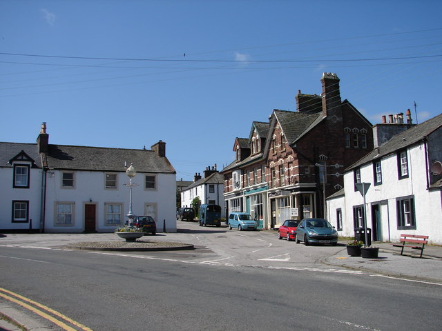
Dundrennan (Gaelic: Dun Droighnein) is a village Dumfries and Galloway, Scotland, about 5 miles (8 km) east of Kirkcudbright. Its population is around...

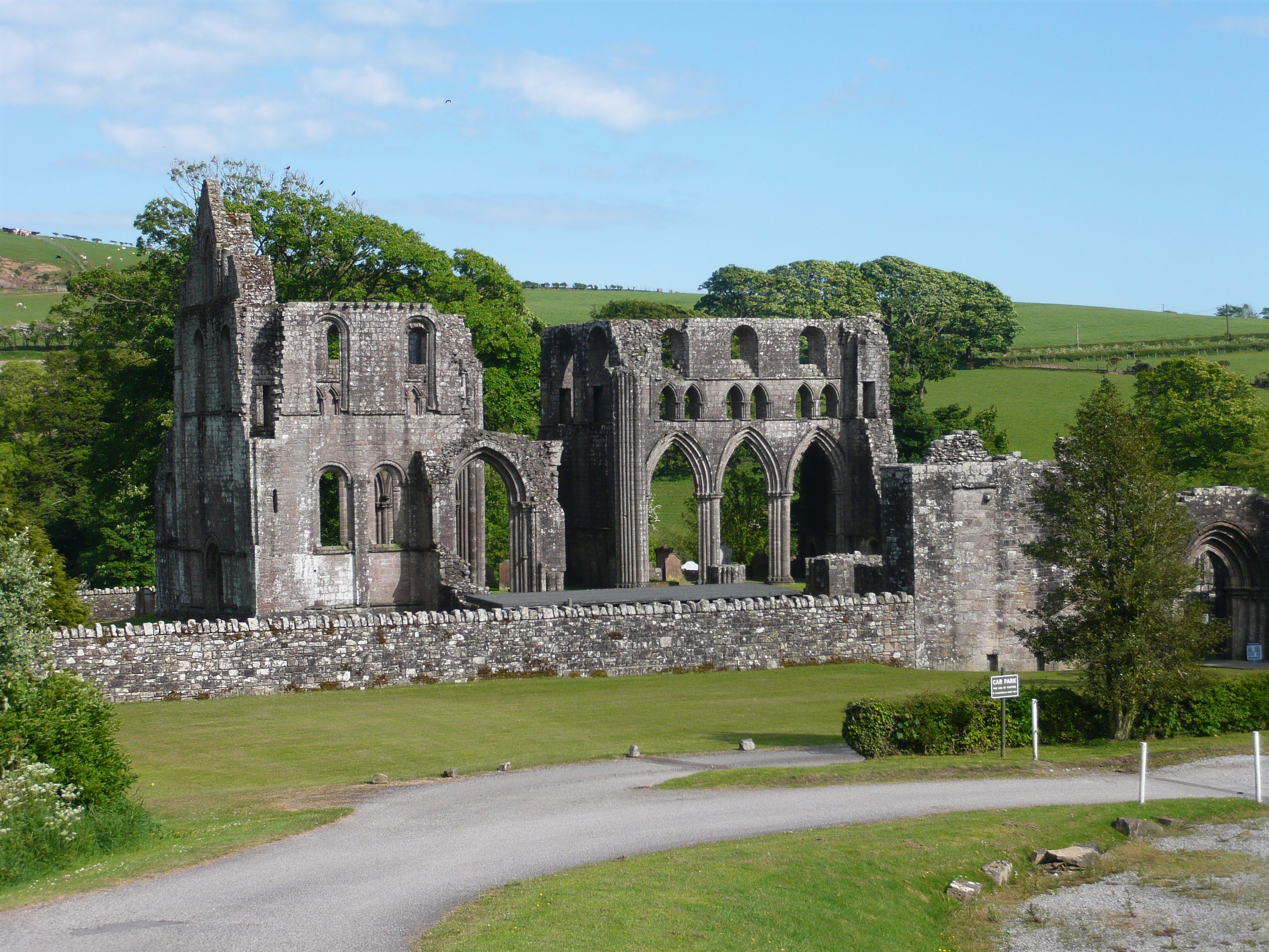
Dundrennan Abbey

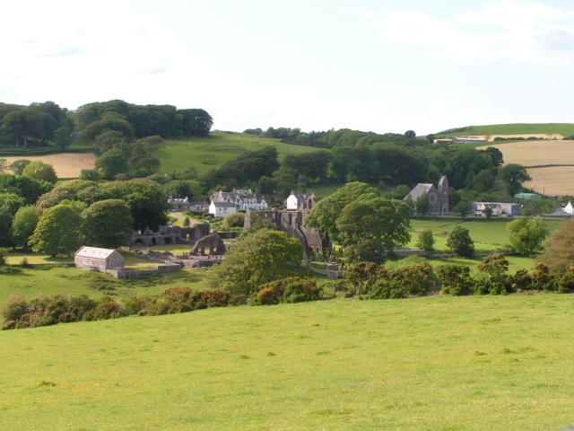
Dundrennan Abbey, in Dundrennan, Scotland, near to Kirkcudbright, was a Cistercian monastery in the Romanesque architectural style, established in 1142...

Auchencairn

Auchencairn ([ɔxən'kʰɛ:(r)n]) is a village in the historical county of Kirkcudbrightshire in the Dumfries and Galloway region of Scotland. It is located...

Urr Water

Urr Water or River Urr (arc. River Orr) is a river in which flows through the counties of Dumfriesshire and Kirkcudbrightshire in southwest Scotland....

Orchardton Castle

Orchardton Castle overlooks the Solway Coast. Built in the 1880s, this is a Grade B listed property formerly known as Orchardton House. Built around a...

Dundrennan Range

Dundrennan Range is a weapons testing range on the Solway Firth, near Kirkcudbright in Dumfries and Galloway, in south west Scotland, it is part of the...

High Banks cup and ring markings

The High Banks cup and ring markings are a series of Neolithic or Bronze Age carvings on an outcrop of rock near High Banks farm, 3 km SE of Kirkcudbright...

Nearby Amenities

Located within 500m of 54.823995,-3.916738
Barrier: entrance
Lat/Long: 54.8255653/-3.9108928
Power: pole
Lat/Long: 54.8199755/-3.9155693
Power: pole
Lat/Long: 54.8203079/-3.914664
Power: pole
Lat/Long: 54.8207106/-3.9134998
Power: pole
Lat/Long: 54.8210166/-3.9126904
Power: pole
Lat/Long: 54.821281/-3.9119405
Power: pole
Lat/Long: 54.8217081/-3.9107742
Power: pole
Lat/Long: 54.8197534/-3.9154458
Power: pole
Lat/Long: 54.821904/-3.9125927
Power: pole
Lat/Long: 54.8223372/-3.9130537
Power: pole
Lat/Long: 54.8227681/-3.9134935
Power: pole
Lat/Long: 54.8231891/-3.9139162
Power: pole
Lat/Long: 54.8238904/-3.9146385
The data included in this document is from www.openstreetmap.org. The data is made available under ODbL.

Have you been to Standingstone Hill?

Leave your review of Standingstone Hill below (or comments, questions and feedback).