Wee Cairny Hill

Hill, Mountain in Kirkcudbrightshire

Scotland

Wee Cairny Hill

Gravestones on north side of church at Corsock The small church at Corsock lies outside the village, south-east of it, and alongside the A712.
The green building beside it is a church hall of lower architectural merit but doubtless of value to the local community.
Gravestones on north side of church at Corsock Credit: Trevor Littlewood

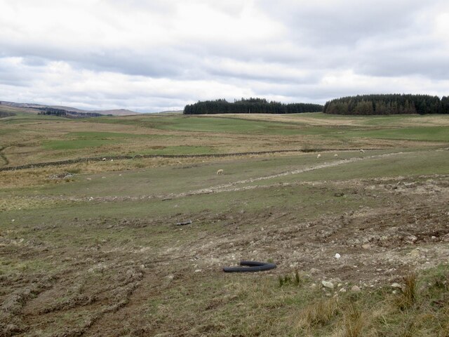
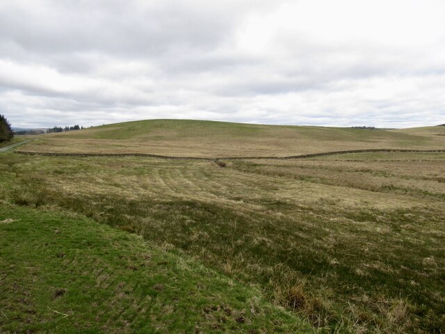
Wee Cairny Hill, located in Kirkcudbrightshire, is a prominent hill and natural landmark in southwestern Scotland. Situated near the village of Gatehouse of Fleet, it forms part of the Galloway Hills range, which is known for its diverse and stunning landscapes.

Wee Cairny Hill stands at an elevation of approximately 310 meters (1,017 feet) above sea level, making it a modest hill compared to its neighboring peaks. However, what it lacks in height, it compensates with breathtaking views of the surrounding countryside. From its summit, visitors can admire panoramic vistas that encompass rolling green hills, picturesque farmland, and the sparkling waters of the Solway Firth.

The hill is covered in a mixture of heather, grasses, and scattered shrubs, providing habitat for various wildlife species. It is not uncommon to encounter birds such as peregrine falcons, kestrels, and buzzards soaring above, adding to the charm of the area.

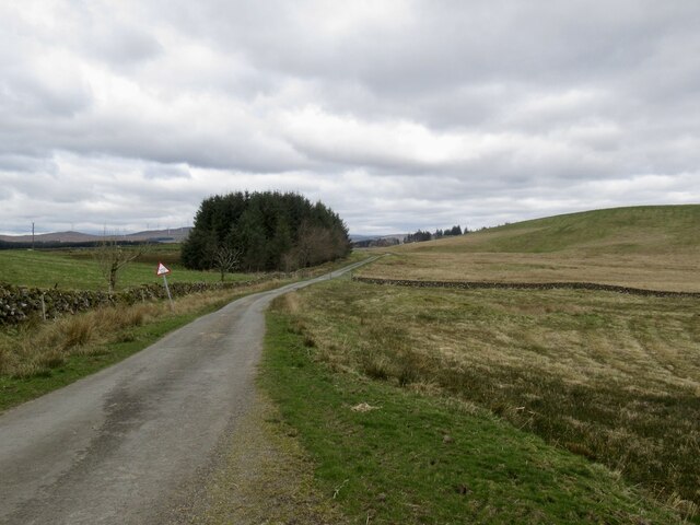
Wee Cairny Hill is a popular destination for outdoor enthusiasts and hikers, offering a range of trails and footpaths that cater to different skill levels. Whether undertaking a leisurely stroll or a more challenging hike, visitors can immerse themselves in the tranquility of the Scottish countryside while enjoying the beauty of Wee Cairny Hill.

Overall, Wee Cairny Hill is a delightful natural landmark in Kirkcudbrightshire, offering visitors the opportunity to connect with nature, appreciate stunning scenery, and enjoy outdoor activities in a picturesque setting.

If you have any feedback on the listing, please let us know in the comments section below.

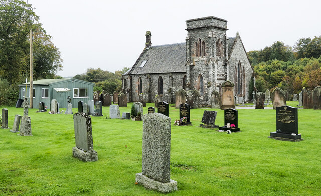
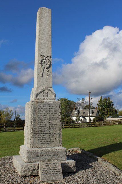
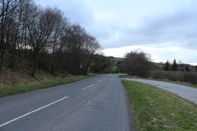
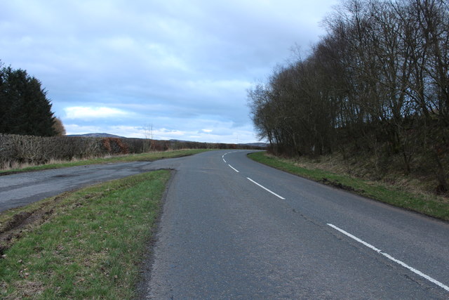
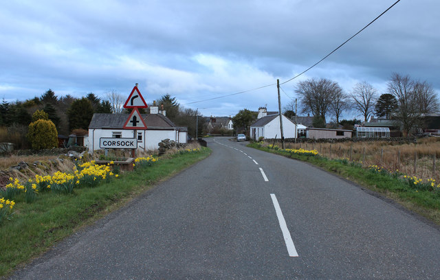
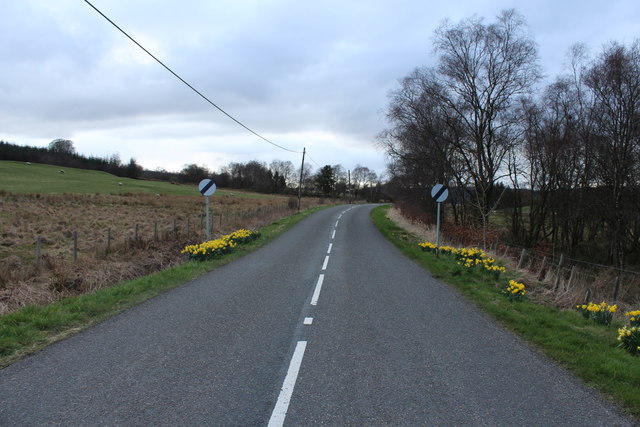
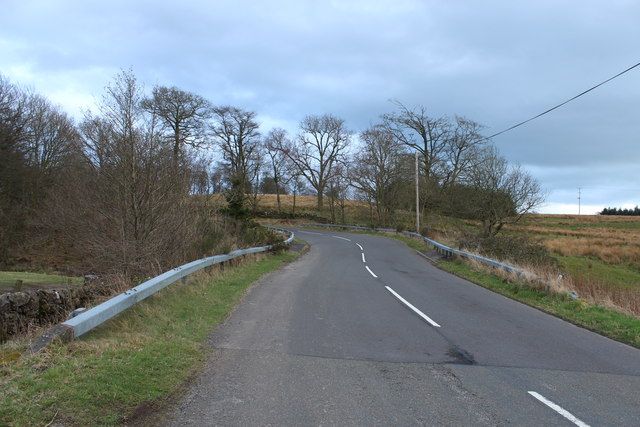
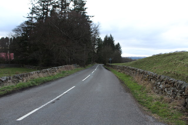
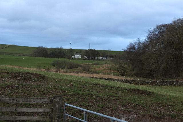
Wee Cairny Hill Images

Images are sourced within 2km of 55.071259/-3.9351387 or Grid Reference NX7676. Thanks to Geograph Open Source API. All images are credited.

Gravestones on north side of church at Corsock The small church at Corsock lies outside the village, south-east of it, and alongside the A712.
The green building beside it is a church hall of lower architectural merit but doubtless of value to the local community.
Gravestones on north side of church at Corsock
The small church at Corsock lies outside the village, south-east of it, and alongside the A712. The green building beside it is a church hall of lower architectural merit but doubtless of value to the local community.
Corsock & Kirkpatrick Durham graveyard There seems to be a local custom of recording the place of death on the old headstones. This one marks the burial place of the Graham family, all of whom died at Sunny Brae. The stone records the sad story of a 6-month-old child’s death in 1892, with her parents reaching their eighties in 1932 and 1946. No other children are recorded on the stone.
Corsock & Kirkpatrick Durham graveyard
There seems to be a local custom of recording the place of death on the old headstones. This one marks the burial place of the Graham family, all of whom died at Sunny Brae. The stone records the sad story of a 6-month-old child’s death in 1892, with her parents reaching their eighties in 1932 and 1946. No other children are recorded on the stone.
Corsock & Kirkpatrick Durham Church A winter view of the building which dates from 1839.
Corsock & Kirkpatrick Durham Church
A winter view of the building which dates from 1839.
Rough pasture, Cairny Hill
Rough pasture,  Upper Barr
Rough pasture, Upper Barr
Road, Upper Barr It sports a fine collection of potholes, some marked with cones.
Road, Upper Barr
It sports a fine collection of potholes, some marked with cones.
Corsock and Kirkpatrick Durham church and churchyard, Corsock
Corsock & Kirkpatrick Durham Church Category B-listed. Built 1839.
Corsock & Kirkpatrick Durham Church
Category B-listed. Built 1839.
Corsock War Memorial
A712 at Langtoo Bank
The A712 to Crocketford
Arriving at Corsock
Arriving at Corsock
Road to Balmaclellan
A712 at Drumhumphry Bridge
A712 to Corsock
A712 to Corsock
Farmland at Drumhumphry
Stagecoach Bus at Drumhumphry Bridge
Corsock and Kirkpatrick Durham Church
Show me another place!

Wee Cairny Hill is located at Grid Ref: NX7676 (Lat: 55.071259, Lng: -3.9351387)

Unitary Authority: Dumfries and Galloway

Police Authority: Dumfries and Galloway

What 3 Words

///throats.doctor.handsets. Near Castle Douglas, Dumfries & Galloway

Related Wikis

Corsock

Corsock (Scottish Gaelic: Corsag) is a village in the historical county of Kirkcudbrightshire, Dumfries and Galloway, south-west Scotland. It is located...

Dumfries and Galloway

Dumfries and Galloway (Scots: Dumfries an Gallowa; Scottish Gaelic: Dùn Phrìs is Gall-Ghaidhealaibh) is one of the 32 unitary council areas of Scotland...

Glenlair House

Glenlair, near the village of Corsock in the historical county of Kirkcudbrightshire, in Dumfries and Galloway, was the home of the physicist James Clerk...

Craigenputtock

Craigenputtock (usually spelled by the Carlyles as Craigenputtoch) is an estate in Scotland where Thomas Carlyle lived from 1828 to 1834. He wrote several...

Nearby Amenities

Located within 500m of 55.071259,-3.9351387
Power: pole
Lat/Long: 55.0681858/-3.9403918
Power: pole
Lat/Long: 55.0686217/-3.9390386
Power: pole
Lat/Long: 55.0691821/-3.9372986
Power: pole
Lat/Long: 55.0697344/-3.9355905
Power: pole
Lat/Long: 55.0702538/-3.9350041
Power: pole
Lat/Long: 55.0707695/-3.9344454
Power: pole
Lat/Long: 55.0713412/-3.9337677
Power: pole
Lat/Long: 55.0719287/-3.9331006
Power: pole
Lat/Long: 55.0677795/-3.9385902
Power: pole
Lat/Long: 55.0673903/-3.9384288
Power: pole
Lat/Long: 55.067136/-3.937152
Power: pole
Lat/Long: 55.0668976/-3.9359432
The data included in this document is from www.openstreetmap.org. The data is made available under ODbL.

Have you been to Wee Cairny Hill?

Leave your review of Wee Cairny Hill below (or comments, questions and feedback).