Urit Hill
Hill, Mountain in Lanarkshire
Scotland
Urit Hill
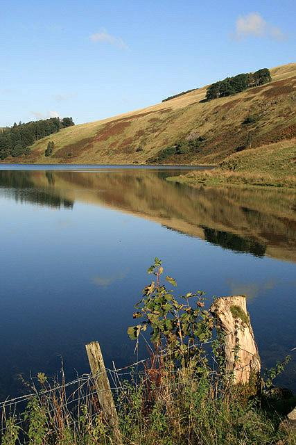
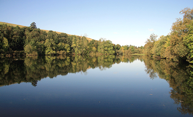
Urit Hill, also known as Urit Mountain, is a prominent geographical feature located in the county of Lanarkshire, Scotland. Situated in the southern part of the county, it forms part of the wider Southern Uplands range. Urit Hill stands at an elevation of approximately 499 meters (1,637 feet), making it one of the highest points in the area.
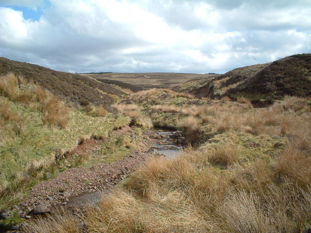
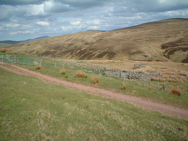
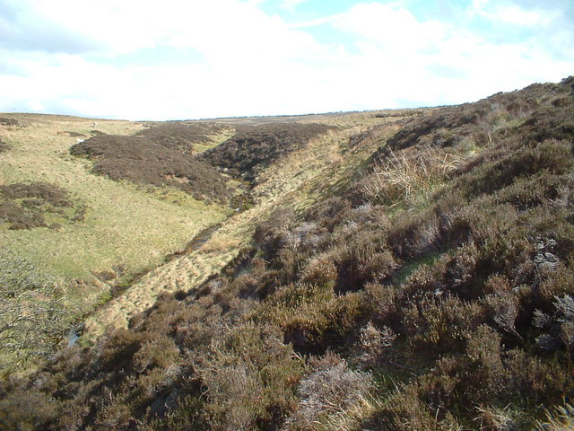
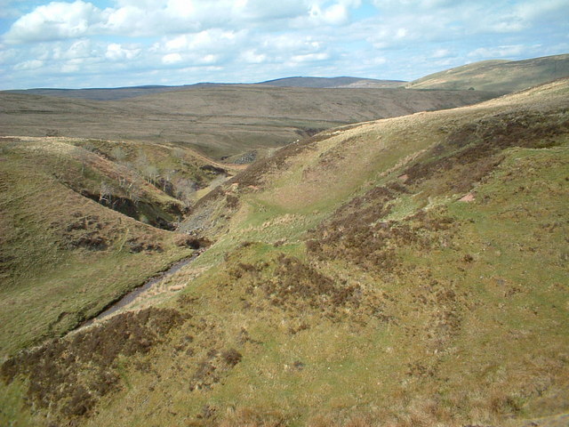
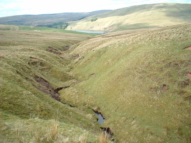
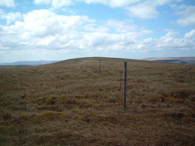
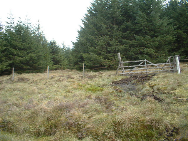
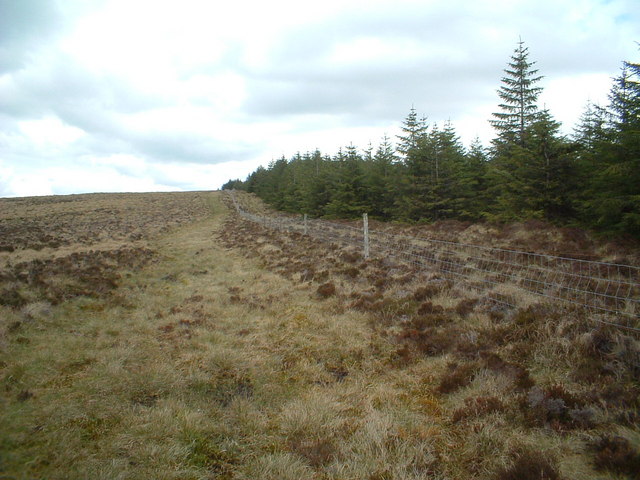
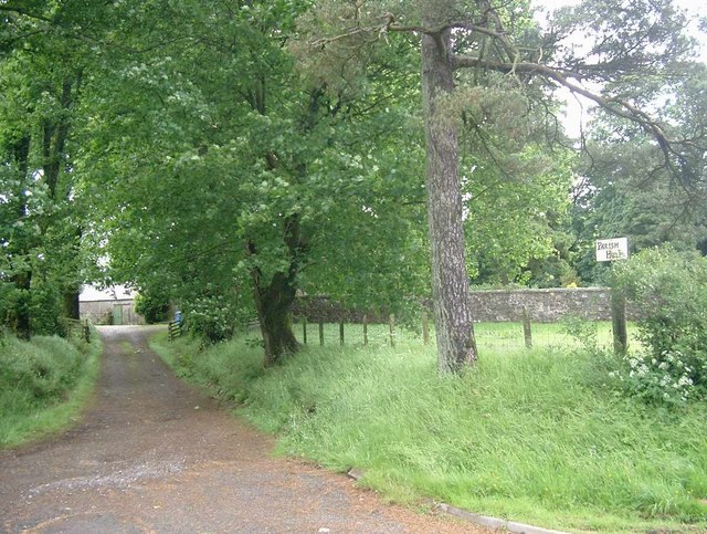
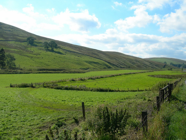
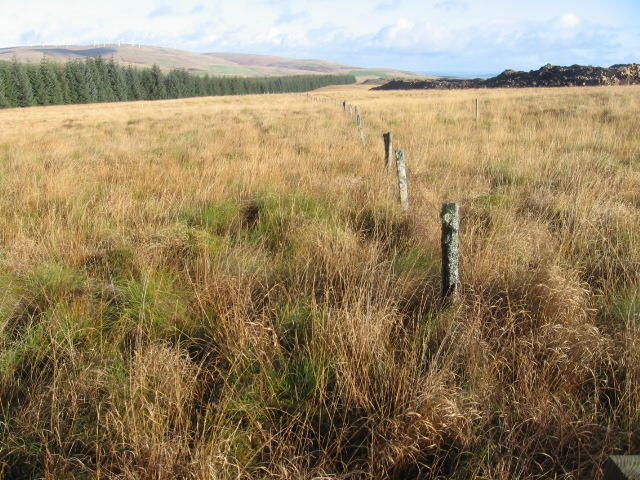
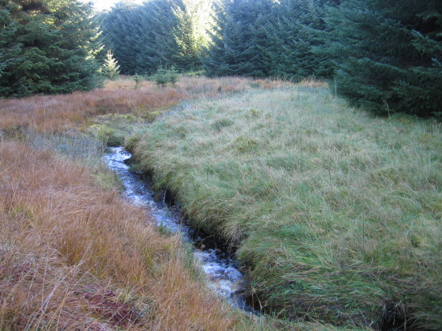
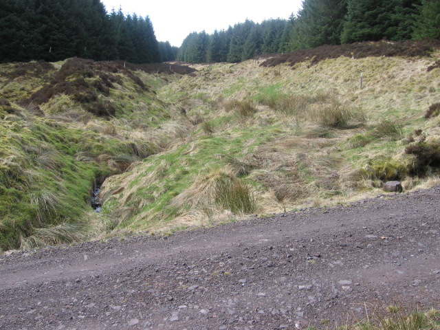
The mountain is characterized by its gently sloping sides and a rounded summit. Its slopes are covered in dense vegetation, primarily consisting of heather, grasses, and scattered patches of woodland. The area surrounding Urit Hill is predominantly rural, with a few scattered farms and small settlements nearby.
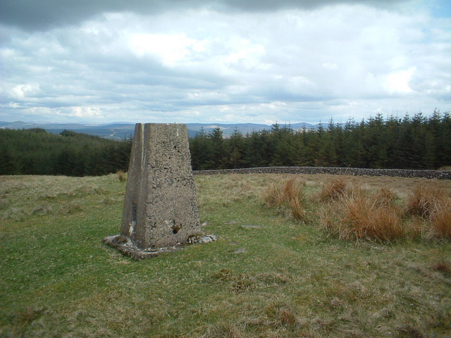
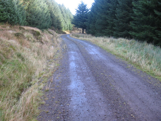
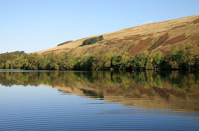
From the summit of Urit Hill, visitors are rewarded with breathtaking panoramic views of the surrounding countryside. On clear days, it is possible to see as far as the neighboring counties of Ayrshire and Dumfriesshire. The hill is a popular destination for hikers and nature enthusiasts, offering a variety of walking trails and paths for all levels of ability.
In addition to its natural beauty, Urit Hill also holds historical significance. The area is rich in archaeological remains, including several Bronze Age burial mounds and ancient settlements. These remnants provide important insights into the region's past and attract archaeologists and history enthusiasts.
Urit Hill, with its stunning landscapes, diverse flora, and historical significance, serves as a remarkable destination for those seeking outdoor exploration and a deeper understanding of Lanarkshire's natural and cultural heritage.
If you have any feedback on the listing, please let us know in the comments section below.
Urit Hill Images
Images are sourced within 2km of 55.516555/-3.9628006 or Grid Reference NS7626. Thanks to Geograph Open Source API. All images are credited.
Urit Hill is located at Grid Ref: NS7626 (Lat: 55.516555, Lng: -3.9628006)
Unitary Authority: South Lanarkshire
Police Authority: Lanarkshire
What 3 Words
///held.then.crockery. Near Muirkirk, East Ayrshire
Nearby Locations
Related Wikis

Glenbuck
Glenbuck (Scottish Gaelic: Gleann Buic) is a small, remote village in East Ayrshire. It is nestled in the hills 3 miles (5 km) east of Muirkirk, East Ayrshire...

Glenbuck railway station
Glenbuck railway station served the village of Glenbuck in Ayrshire, Scotland. == Opening == The Caledonian Railway extended a line from Douglas to Muirkirk...
Inches railway station
Inches railway station co-served the hamlet of Glespin, South Lanarkshire, Scotland, from 1874 to 1964 on the Muirkirk Branch. == History == The station...
Fish Bed Formation
The Fish Bed Formation is a geologic formation in Scotland, United Kingdom. The fluvial to lacustrine sandstones, shales, siltstones and conglomerates...
Nearby Amenities
Located within 500m of 55.516555,-3.9628006Have you been to Urit Hill?
Leave your review of Urit Hill below (or comments, questions and feedback).