Tun Hill
Hill, Mountain in Kirkcudbrightshire
Scotland
Tun Hill
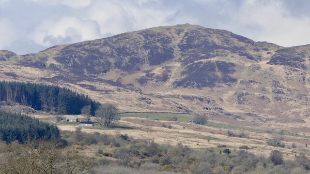
Tun Hill is a prominent hill located in the historical county of Kirkcudbrightshire, Scotland. Situated in the southern part of the county, it is part of the Galloway Hills range. Tun Hill stands at an elevation of approximately 280 meters (918 feet) above sea level, making it a notable landmark in the region.
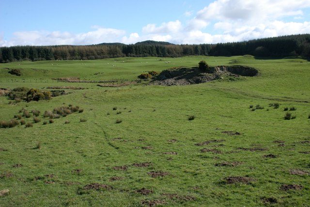
The hill is characterized by its gently sloping sides covered in heather and grass, offering a picturesque view of the surrounding countryside. It is a popular destination for hikers and nature enthusiasts, who enjoy its relatively easy ascent and the breathtaking vistas it provides. From the top, visitors can admire the rolling hills, valleys, and the expansive view of the nearby villages and towns.
Tun Hill is rich in historical significance, as it was once believed to be the site of a prehistoric hill fort. Archaeological evidence suggests that the fortification may have existed during the Iron Age, serving as a defensive structure for the local inhabitants. However, further research is required to confirm these findings.
Today, Tun Hill remains a beloved natural landmark in Kirkcudbrightshire, attracting visitors from far and wide. Its tranquil surroundings and captivating scenery make it an ideal spot for a leisurely walk, a picnic, or simply a moment of reflection. Whether it's for recreational purposes or a desire to connect with nature, Tun Hill offers an enjoyable experience for all who venture to its summit.
If you have any feedback on the listing, please let us know in the comments section below.
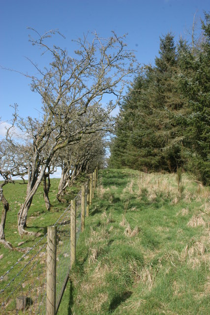
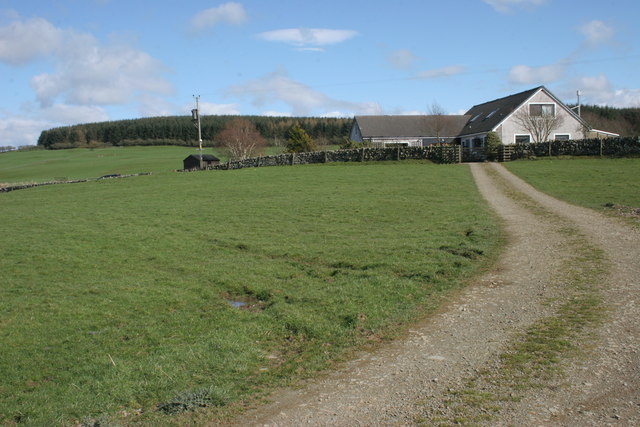
Tun Hill Images
Images are sourced within 2km of 54.875264/-3.9314692 or Grid Reference NX7655. Thanks to Geograph Open Source API. All images are credited.
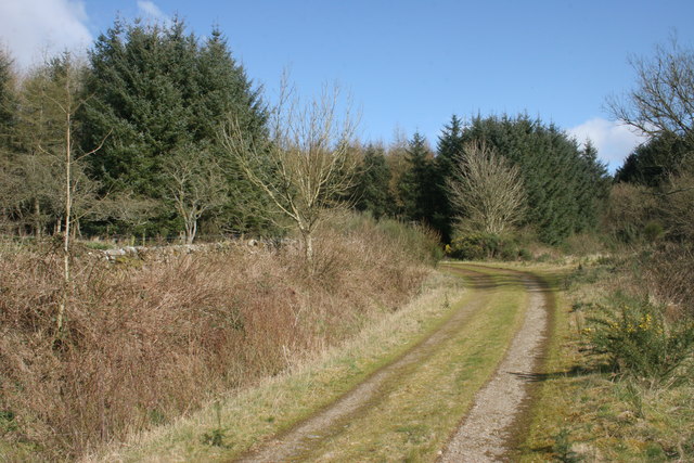
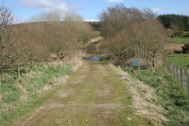
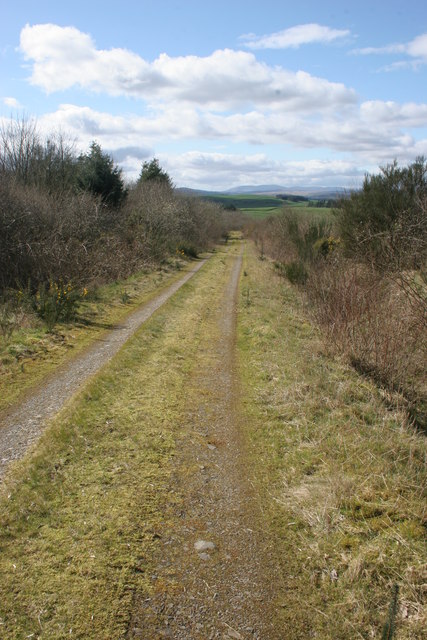
![Airieland Forest sign and beaters Sign at the entrance to Airieland Forest. See [<a title="https://www.geograph.org.uk/photo/4901150" href="https://www.geograph.org.uk/photo/4901150">Link</a>] for a wider view.](https://s3.geograph.org.uk/geophotos/04/90/11/4901155_f46a7fba.jpg)
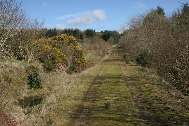
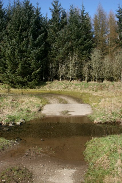
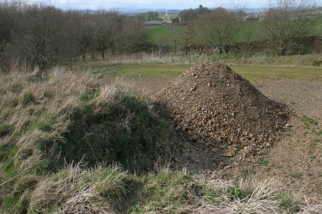
![Airieland Burn Looking towards the ford [<a title="https://www.geograph.org.uk/photo/4901182" href="https://www.geograph.org.uk/photo/4901182">Link</a>] on the track.](https://s1.geograph.org.uk/geophotos/04/90/11/4901173_6515a3ee.jpg)


Tun Hill is located at Grid Ref: NX7655 (Lat: 54.875264, Lng: -3.9314692)
Unitary Authority: Dumfries and Galloway
Police Authority: Dumfries and Galloway
What 3 Words
///daunted.composed.anthems. Near Castle Douglas, Dumfries & Galloway
Nearby Locations
Related Wikis

Airieland
Airieland is a farm in the historical county of Kirkcudbrightshire, in the Scottish council area of Dumfries and Galloway. It is found 3 miles (5 km) south...

Gelston Castle
Gelston Castle, located near Castle Douglas in Kirkcudbrightshire in Dumfries and Galloway, Scotland, was built by Sir William Douglas of Castle Douglas...

Orchardton Castle
Orchardton Castle overlooks the Solway Coast. Built in the 1880s, this is a Grade B listed property formerly known as Orchardton House. Built around a...

Auchencairn
Auchencairn ([ɔxən'kʰɛ:(r)n]) is a village in the historical county of Kirkcudbrightshire in the Dumfries and Galloway region of Scotland. It is located...

Threave Gardens
Threave Garden and Estate is a series of gardens owned and managed by the National Trust for Scotland, located near Castle Douglas in the historical county...

Bridge of Dee, Galloway
Bridge of Dee, Galloway is a settlement on the River Dee, Galloway. It lies on the A75 just west of Castle Douglas, and north-east of Kirkcudbright. The...

Bridge of Dee railway station
Bridge of Dee railway station served the settlement of Bridge of Dee, Dumfries and Galloway, Scotland from 1864 to 1949 on the Kirkcudbright Railway....

Carlingwark Loch
Carlingwark Loch is a small freshwater loch in the historical county of Kirkcudbrightshire, Dumfries and Galloway, Scotland lying just south of Castle...
Nearby Amenities
Located within 500m of 54.875264,-3.9314692Have you been to Tun Hill?
Leave your review of Tun Hill below (or comments, questions and feedback).