Sìdhean Clais an Uanain

Hill, Mountain in Sutherland

Scotland

Sìdhean Clais an Uanain

Ruin at Knockarthur, Sutherland A ruined stone byre by the minor road at Knockarthur, between Golspie and Rogart, Scottish Highlands.
Ruin at Knockarthur, Sutherland Credit: Andrew Tryon

Sìdhean Clais an Uanain is a hill located in Sutherland, Scotland. It stands at an elevation of 486 meters (1,594 feet) above sea level and is part of the Northwest Highlands Geopark. The hill is known for its rugged and rocky terrain, with steep slopes and craggy outcrops.

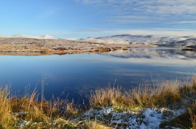
Sìdhean Clais an Uanain offers stunning panoramic views of the surrounding landscape, including the nearby Loch Shin and the Dornoch Firth. The hill is a popular destination for hikers and outdoor enthusiasts, who come to enjoy the challenging ascent and the breathtaking vistas from the summit.

The area surrounding Sìdhean Clais an Uanain is rich in biodiversity, with a variety of plant and animal species calling the hill home. Visitors may spot red deer, golden eagles, and other wildlife during their hike.

Overall, Sìdhean Clais an Uanain is a picturesque and rewarding destination for those looking to explore the natural beauty of the Scottish Highlands. Its rugged landscapes and stunning views make it a must-visit for outdoor enthusiasts and nature lovers alike.

If you have any feedback on the listing, please let us know in the comments section below.

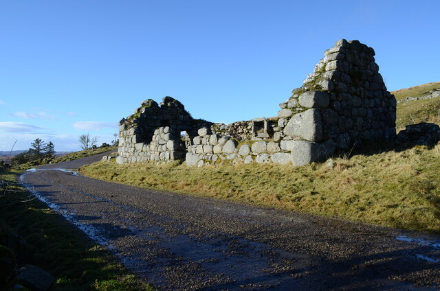
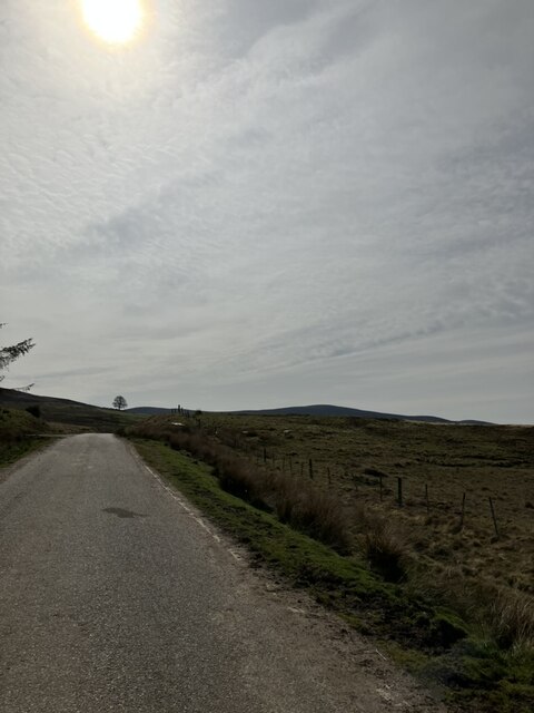
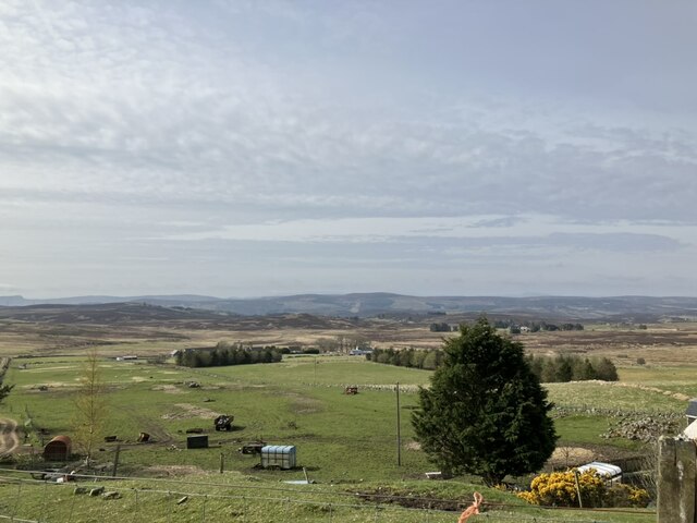
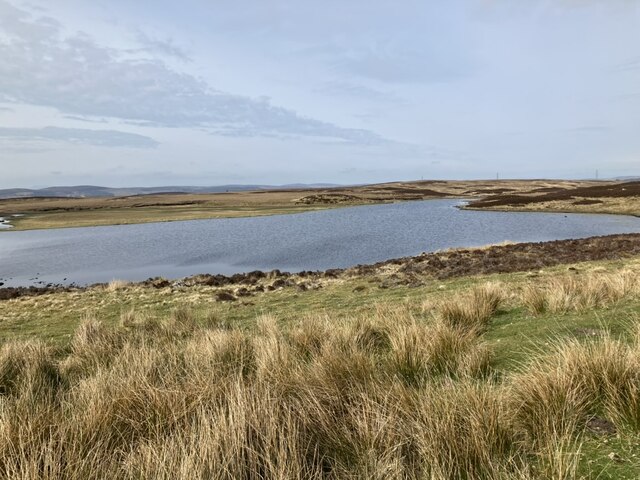
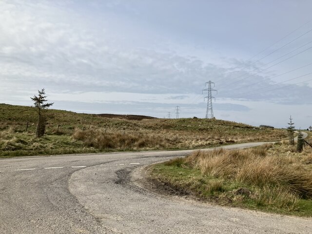
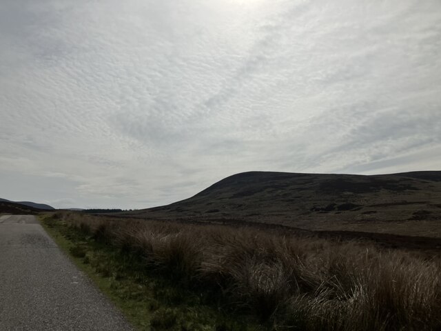
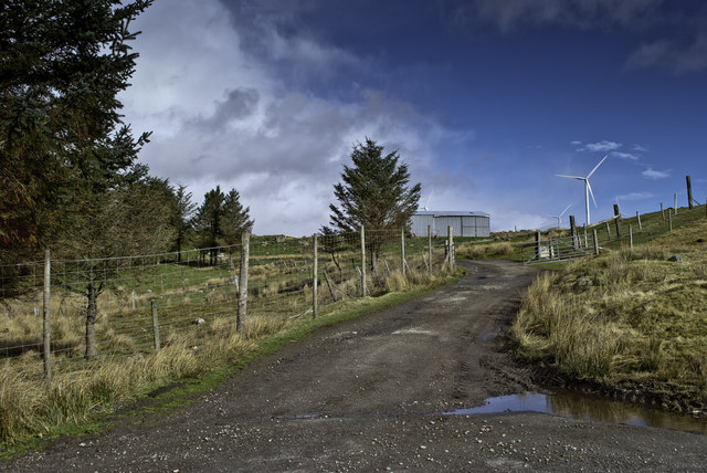
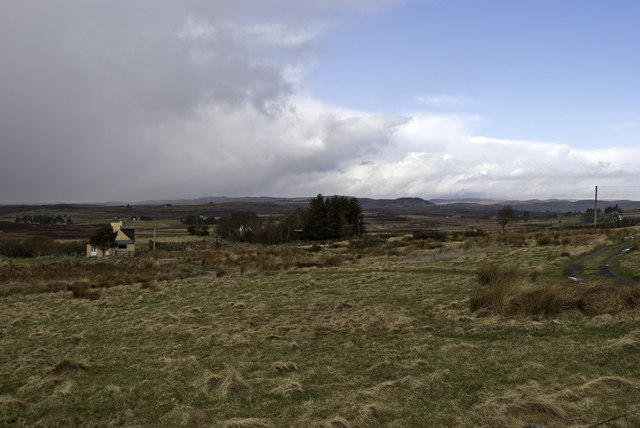
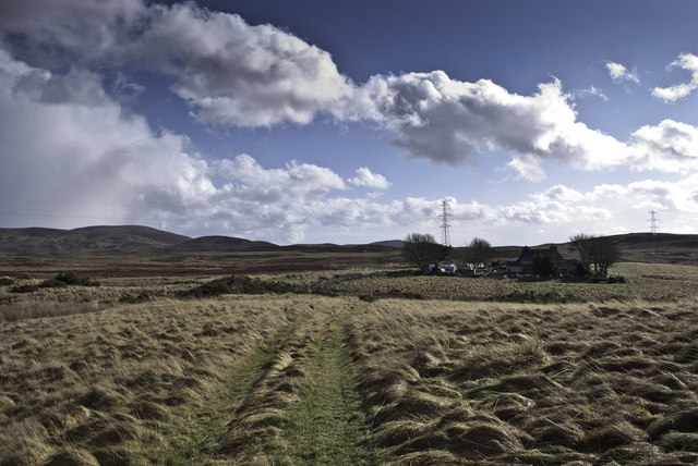
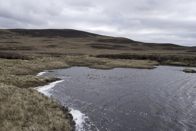
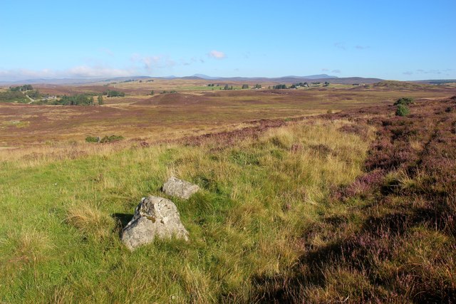
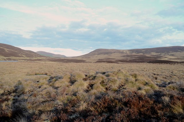
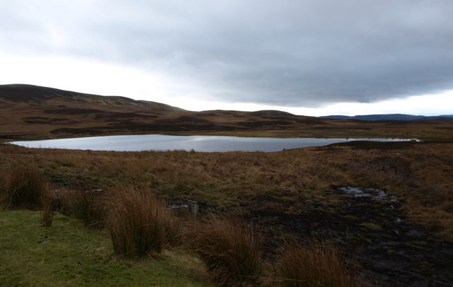
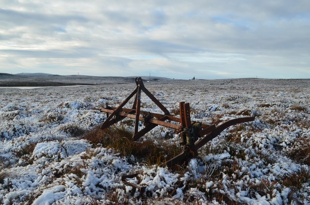
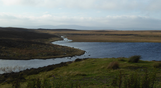
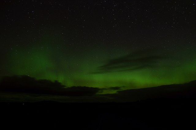
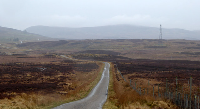
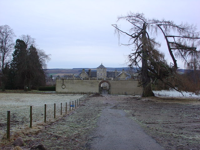
Sìdhean Clais an Uanain Images

Images are sourced within 2km of 58.017992/-4.0996744 or Grid Reference NC7605. Thanks to Geograph Open Source API. All images are credited.

Ruin at Knockarthur, Sutherland A ruined stone byre by the minor road at Knockarthur, between Golspie and Rogart, Scottish Highlands.
Ruin at Knockarthur, Sutherland
A ruined stone byre by the minor road at Knockarthur, between Golspie and Rogart, Scottish Highlands.
Road to Loch Farlary
Minor road at Knockarthur
Loch Farlary
Loch Farlary
Junction on minor road
View from road at Loch Farlarly
Farlary access Kilbruar windfarm beyond
Farlary access
Kilbruar windfarm beyond
Achork Croft
Achork Croft
Croft beyond Achork
Croft beyond Achork
Where Feith Ruadh enters Loch Farlary
Moorland above Strath Fleet at Rogart
Flat Moorland South of Loch Farlary View east over wet, boggy moorland towards the top of Dunrobin Glen.
Flat Moorland South of Loch Farlary
View east over wet, boggy moorland towards the top of Dunrobin Glen.
Loch Farlary Viewed from the minor road running through Dunrobin Glen.
Loch Farlary
Viewed from the minor road running through Dunrobin Glen.
Abandoned Plough near Loch Salachaidh This piece of rusting farm equipment appears to be an old plough which, judging by the nearby scars on the moorland (not in photo), may have been used for peat cutting.
Abandoned Plough near Loch Salachaidh
This piece of rusting farm equipment appears to be an old plough which, judging by the nearby scars on the moorland (not in photo), may have been used for peat cutting.
Loch Salachaidh, Sutherland Upland scenery in the north of Britain - view east over Loch Salachaidh towards the hill Beinn Lunndaidh (446 m, 1463 ft).  The green hull of an abandoned rowing boat is just visible among the heather on the opposite shore.  The Loch is around 180 m (590 ft) above sea level.  Surprisingly, the Gaelic 'Salachaidh' translates - according to local sources - to something like dirty water.
Loch Salachaidh, Sutherland
Upland scenery in the north of Britain - view east over Loch Salachaidh towards the hill Beinn Lunndaidh (446 m, 1463 ft). The green hull of an abandoned rowing boat is just visible among the heather on the opposite shore. The Loch is around 180 m (590 ft) above sea level. Surprisingly, the Gaelic 'Salachaidh' translates - according to local sources - to something like dirty water.
Loch Farlary, eastern end Fèith Ruadh enters the loch here.
Loch Farlary, eastern end
Fèith Ruadh enters the loch here.
Aurora Borealis in Sutherland, UK View of the Aurora Borealis (Northern Lights) at Farlary in Sutherland.  Photos of the aurora are rarely, if ever, faithful to the true appearance of the phenomena as it would be seen by the naked eye.  The vividness and brightness of the colours tend to be enhanced by digital cameras, whilst the subtle fluorescent 'presence' is lost.  This photo (to which some slight digital sharpening has also been applied) is no exception, and whilst it does slightly exaggerate some aspects, it does not in my opinion overstate the beauty of this stunning display.
Aurora Borealis in Sutherland, UK
View of the Aurora Borealis (Northern Lights) at Farlary in Sutherland. Photos of the aurora are rarely, if ever, faithful to the true appearance of the phenomena as it would be seen by the naked eye. The vividness and brightness of the colours tend to be enhanced by digital cameras, whilst the subtle fluorescent 'presence' is lost. This photo (to which some slight digital sharpening has also been applied) is no exception, and whilst it does slightly exaggerate some aspects, it does not in my opinion overstate the beauty of this stunning display.
Road from Knockarthur to Farlary The road then continues on to Dunrobin Glen.
Road from Knockarthur to Farlary
The road then continues on to Dunrobin Glen.
Show me another place!

Sìdhean Clais an Uanain is located at Grid Ref: NC7605 (Lat: 58.017992, Lng: -4.0996744)

Unitary Authority: Highland

Police Authority: Highlands and Islands

What 3 Words

///bonds.rashers.notch. Near Golspie, Highland

Related Wikis

Battle of Alltan-Beath

The Battle of Alltan-Beath, also known as the Battle of Ailtan-Beath, was a Scottish clan battle said to have taken place in 1542 in the village of Knockarthur...

Rogart

Rogart ( ROH-gart, Scottish Gaelic: Sgìre Raoird or Raoghard, meaning "great enclosed field") is a small village in Sutherland, Highland, Scotland. The...

East Langwell

East Langwell is a small, remote crofting settlement in Rogart, Sutherland, Scottish Highlands and is in the Scottish council area of Highland.West Langwell...

Dalreavoch

Dalreavoch (Scottish Gaelic: An Dail Riabhach) is a small crofting hamlet in Rogart in Sutherland, Scottish Highlands and is in the Scottish council...

Nearby Amenities

Located within 500m of 58.017992,-4.0996744
Sìdhean Clais an Uanain
Place: locality
Lat/Long: 58.0186469/-4.1007302
The data included in this document is from www.openstreetmap.org. The data is made available under ODbL.

Have you been to Sìdhean Clais an Uanain?

Leave your review of Sìdhean Clais an Uanain below (or comments, questions and feedback).