Farlary
Settlement in Sutherland
Scotland
Farlary
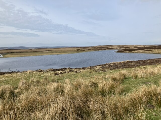
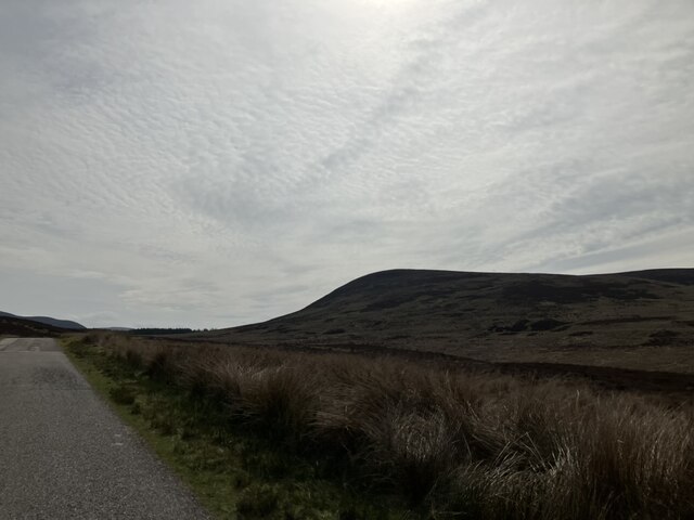
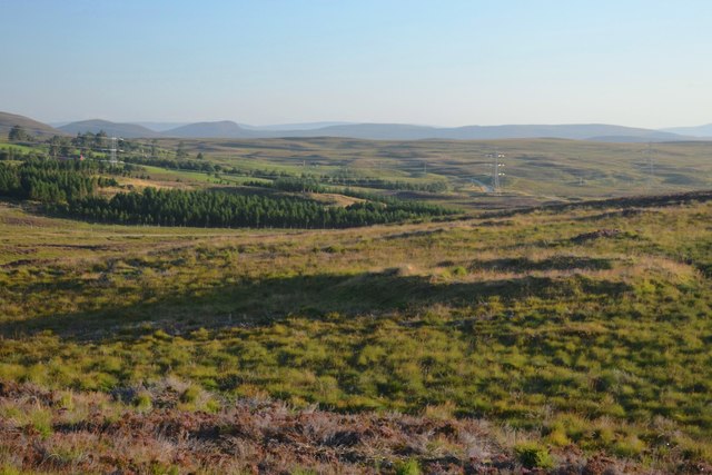
Farlary is a small village located in the county of Sutherland, in the northern part of Scotland. Situated in the Highland region, Farlary is surrounded by breathtaking natural beauty, with stunning landscapes of rolling hills, vast moorlands, and picturesque lochs.
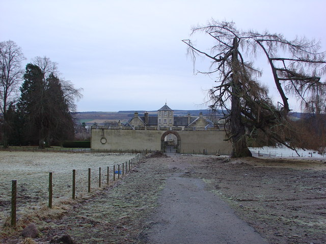
The village itself is characterized by its quaint and traditional Scottish charm. It is made up of a collection of stone cottages, some of which date back several centuries. The local architecture reflects the region's rich history and heritage.
Farlary is a close-knit community with a population of approximately 200 residents. The villagers are known for their warm hospitality and friendly nature, making it an inviting place for visitors. Agriculture and farming are important economic activities in the area, with sheep farming being particularly prominent.
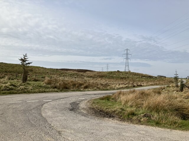
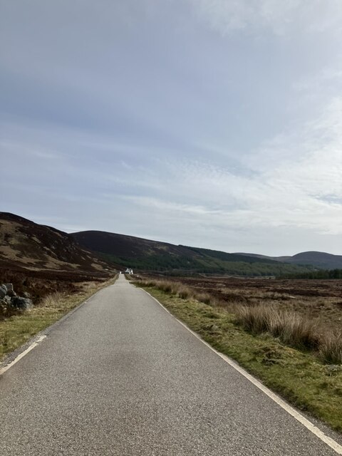
The village is well-connected to the surrounding areas through a network of roads, making it easily accessible for tourists. The nearby town of Dornoch, renowned for its stunning beaches and historic cathedral, is only a short drive away.
Outdoor enthusiasts will find plenty to do in Farlary and its surroundings. The area offers numerous opportunities for hiking, cycling, and fishing. Additionally, the nearby Dornoch Firth provides a haven for birdwatchers and wildlife enthusiasts.
Farlary offers a peaceful and tranquil setting, away from the hustle and bustle of city life. Its stunning natural landscapes, rich history, and welcoming community make it an ideal destination for those seeking a true Scottish Highland experience.
If you have any feedback on the listing, please let us know in the comments section below.
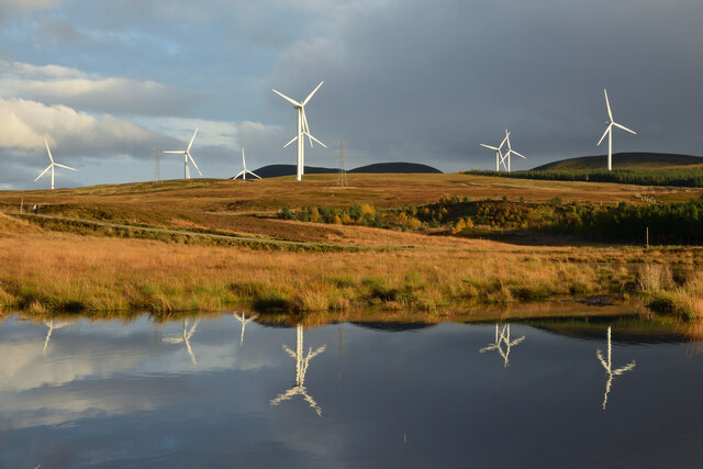
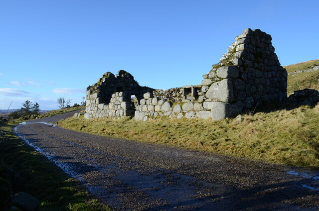
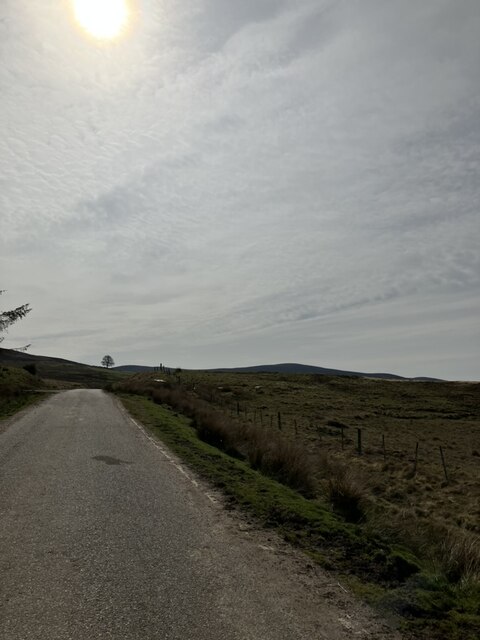
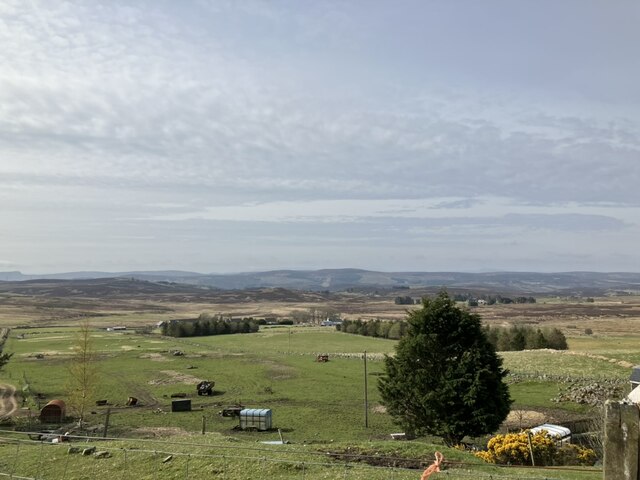
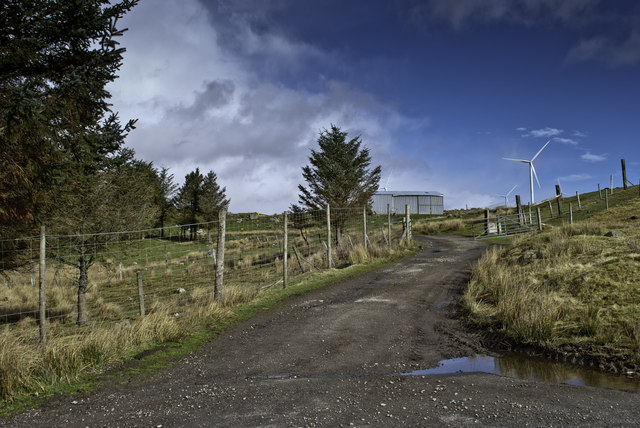
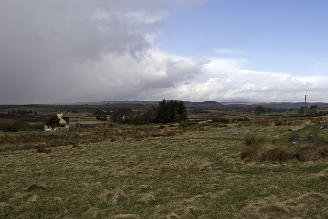
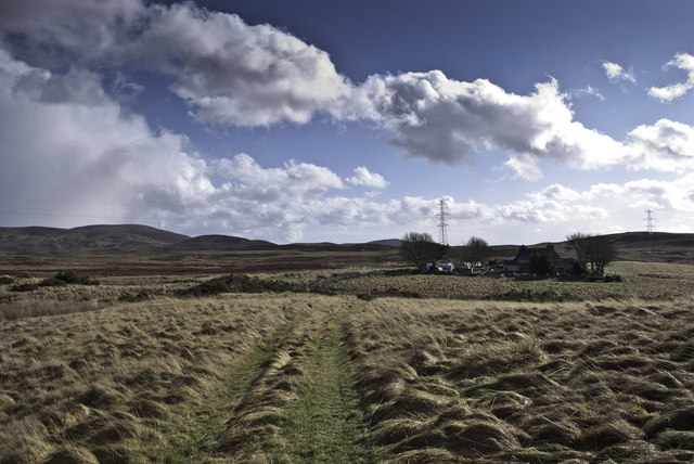
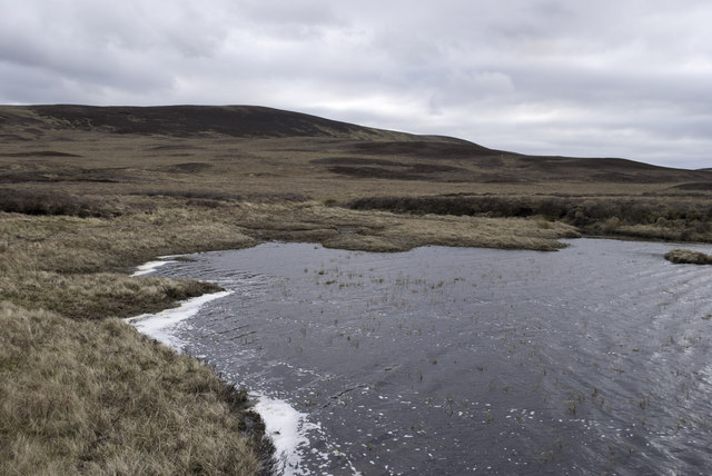
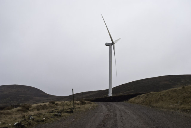
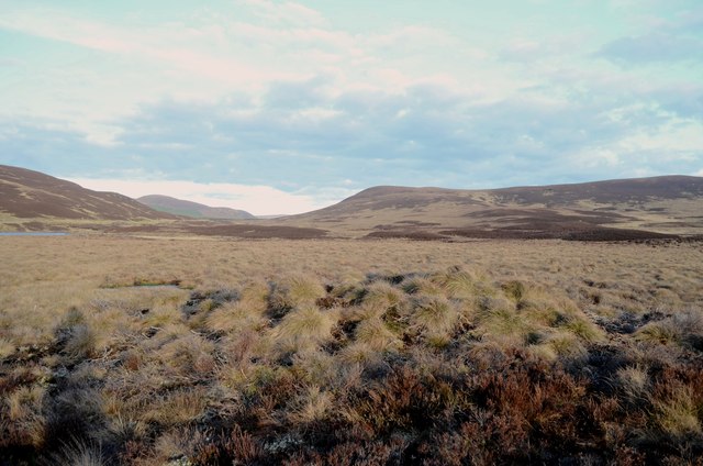
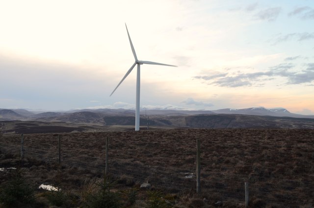
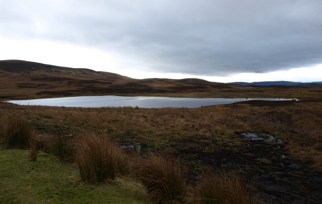
Farlary Images
Images are sourced within 2km of 58.024495/-4.0877278 or Grid Reference NC7605. Thanks to Geograph Open Source API. All images are credited.

Farlary is located at Grid Ref: NC7605 (Lat: 58.024495, Lng: -4.0877278)
Unitary Authority: Highland
Police Authority: Highlands and Islands
What 3 Words
///expanded.polar.freezers. Near Golspie, Highland
Nearby Locations
Related Wikis
Battle of Alltan-Beath
The Battle of Alltan-Beath, also known as the Battle of Ailtan-Beath, was a Scottish clan battle said to have taken place in 1542 in the village of Knockarthur...

Dalreavoch
Dalreavoch (Scottish Gaelic: An Dail Riabhach) is a small crofting hamlet in Rogart in Sutherland, Scottish Highlands and is in the Scottish council...

Rogart
Rogart ( ROH-gart, Scottish Gaelic: Sgìre Raoird or Raoghard, meaning "great enclosed field") is a small village in Sutherland, Highland, Scotland. The...
East Langwell
East Langwell is a small, remote crofting settlement in Rogart, Sutherland, Scottish Highlands and is in the Scottish council area of Highland.West Langwell...
Nearby Amenities
Located within 500m of 58.024495,-4.0877278Have you been to Farlary?
Leave your review of Farlary below (or comments, questions and feedback).