Craigbuie Hill
Hill, Mountain in Dumfriesshire
Scotland
Craigbuie Hill
The requested URL returned error: 429 Too Many Requests
If you have any feedback on the listing, please let us know in the comments section below.
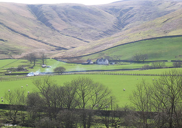
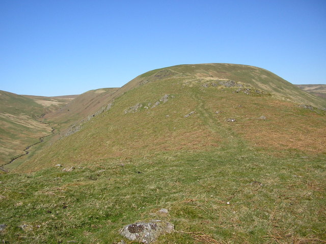
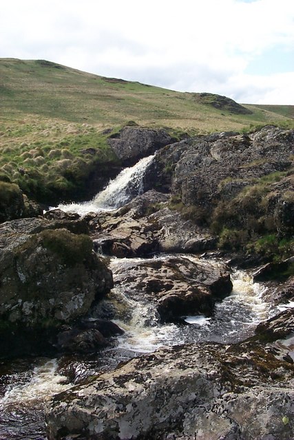
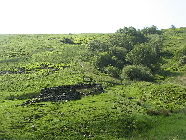
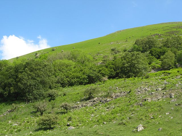
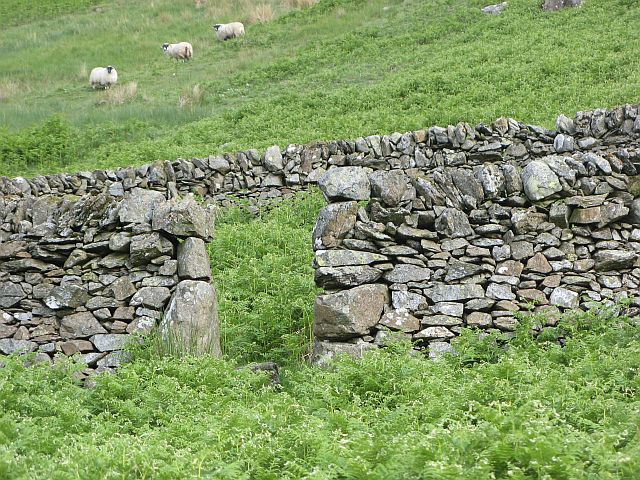
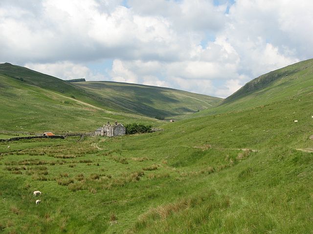
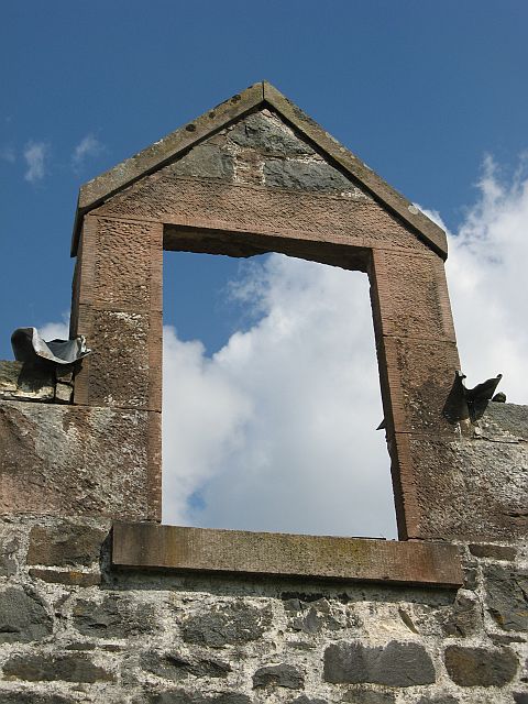
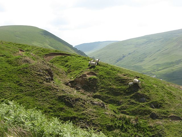
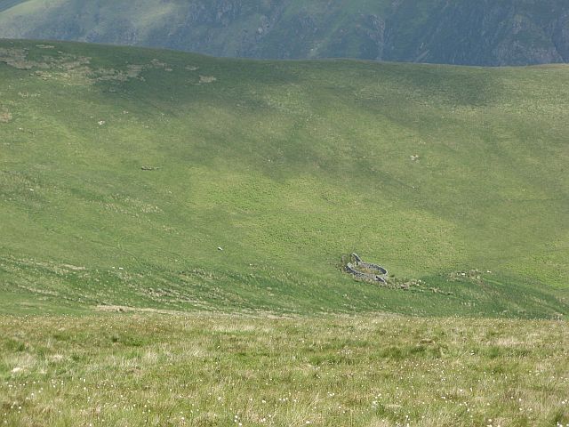
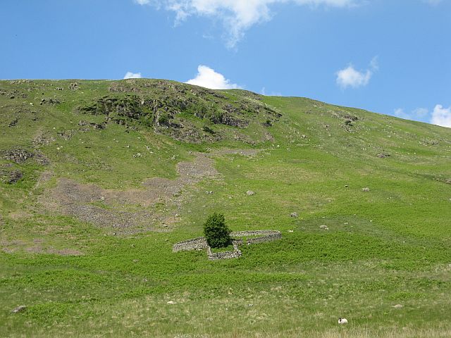
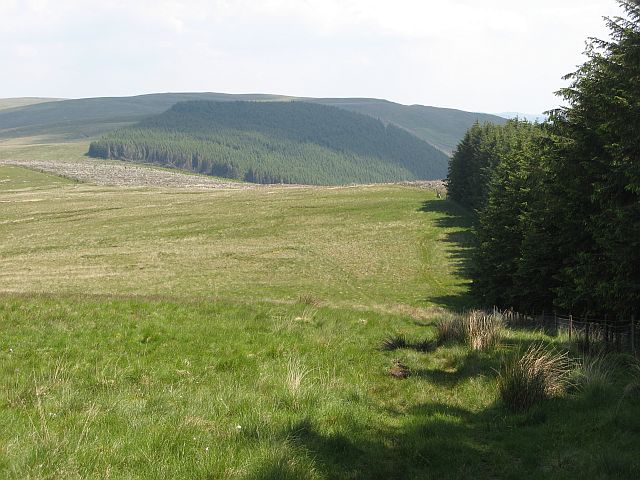
Craigbuie Hill Images
Images are sourced within 2km of 55.28666/-3.9692935 or Grid Reference NS7500. Thanks to Geograph Open Source API. All images are credited.


Craigbuie Hill is located at Grid Ref: NS7500 (Lat: 55.28666, Lng: -3.9692935)
Unitary Authority: Dumfries and Galloway
Police Authority: Dumfries and Galloway
What 3 Words
///crackled.bleaching.disposal. Near Sanquhar, Dumfries & Galloway
Nearby Locations
Related Wikis

Carsphairn and Scaur Hills
The Carsphairn and Scaur Hills are the western and eastern hills respectively of a hill range in the Southern Uplands of Scotland. Ordnance Survey maps...

Sanquhar Castle
Sanquhar Castle, now a ruin, was built in the 13th century; the ruins are situated north east of Dumfries overlooking the River Nith. Situated on the southern...

Mennock
Mennock is a small village or hamlet which lies 2 miles (3.2 km) south-east of Sanquhar on the A76, in Dumfriesshire, in the District Council Region of...

Mennock Lye Goods Depot
Mennock Lye Goods Depot or Mennock Siding was a railway freight facility located off the A76 in the hamlet of Mennock that lies circa two miles (three...
Have you been to Craigbuie Hill?
Leave your review of Craigbuie Hill below (or comments, questions and feedback).