Butterdon Hill
Hill, Mountain in Devon Teignbridge
England
Butterdon Hill
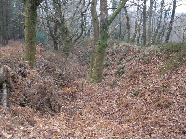
Butterdon Hill is a prominent hill located in the county of Devon, England. Rising to an elevation of 369 meters (1,211 feet), it is situated in the southern part of the Dartmoor National Park, near the village of Harford. Although referred to as a hill, it is often classified as a mountain due to its height and distinct prominence in the landscape.
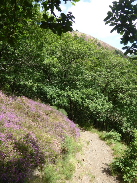
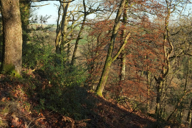
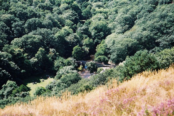
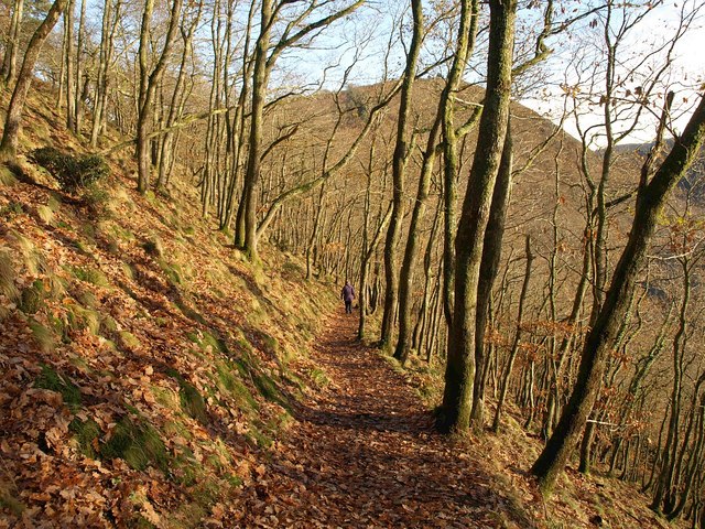
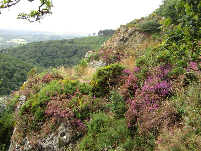
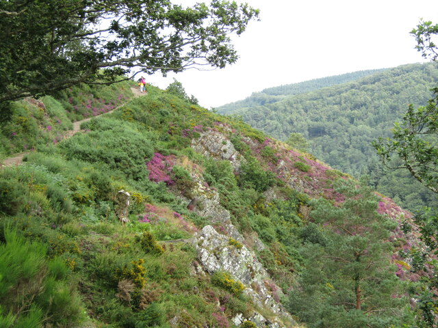
The hill is known for its rugged and rocky terrain, typical of the Dartmoor region. It is primarily composed of granite, which gives it a distinctive appearance and contributes to its popularity among hikers, climbers, and nature enthusiasts. The summit of Butterdon Hill offers panoramic views of the surrounding countryside, including the moorland, valleys, and tors that make up Dartmoor National Park.
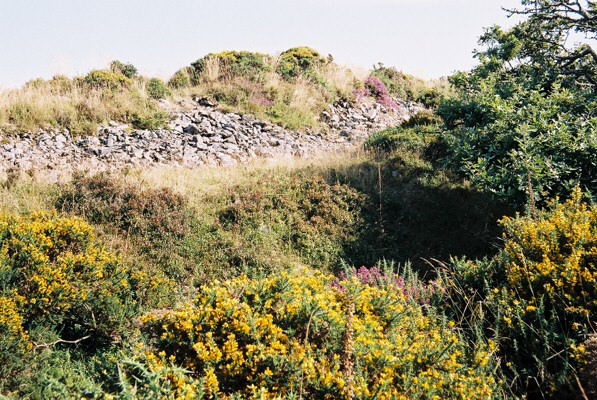
The hill is also home to a variety of flora and fauna, including heather, gorse, and bilberry plants. It provides a habitat for several bird species, such as skylarks and stonechats, as well as small mammals like rabbits and voles. The area is rich in archaeological sites, with evidence of prehistoric settlements, stone circles, and burial mounds dotting the landscape.
Butterdon Hill is a popular destination for outdoor activities, with numerous walking trails and paths leading to its summit. It attracts visitors throughout the year, offering opportunities for exploration, photography, and experiencing the natural beauty of the Devon countryside.
If you have any feedback on the listing, please let us know in the comments section below.
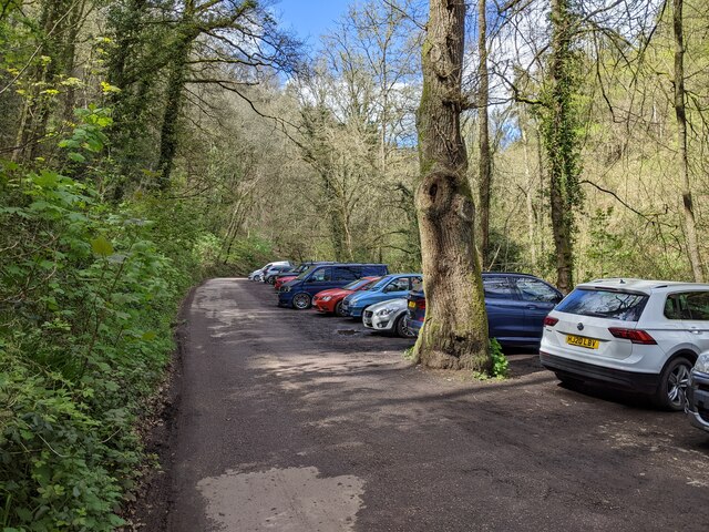
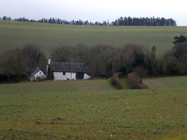
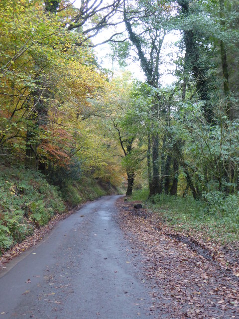
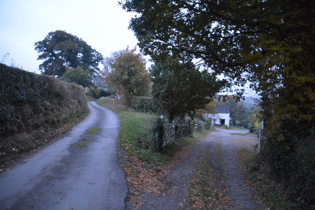
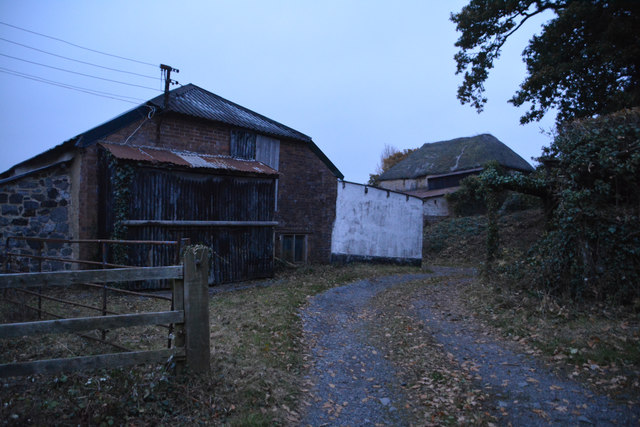
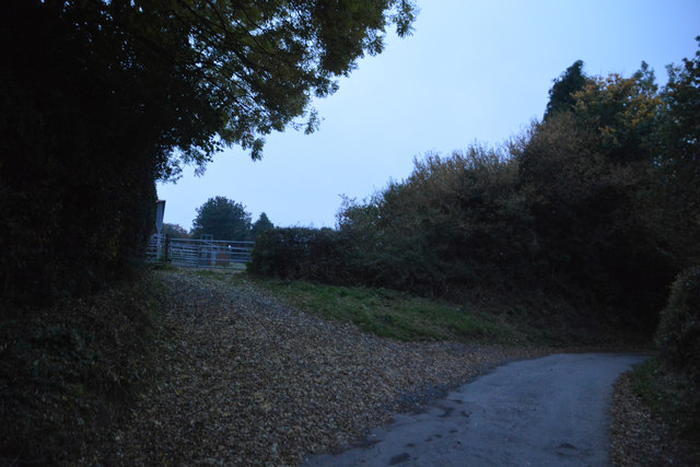
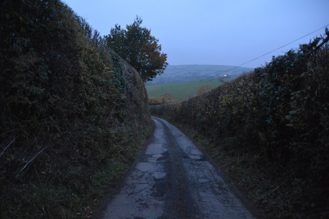
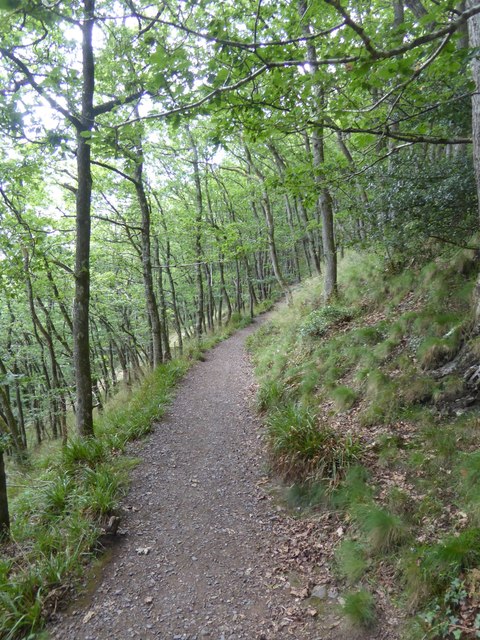
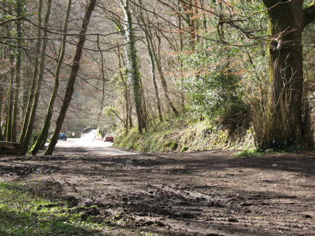
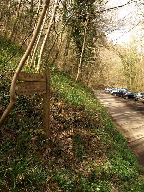
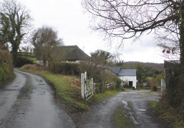
Butterdon Hill Images
Images are sourced within 2km of 50.682137/-3.7704909 or Grid Reference SX7588. Thanks to Geograph Open Source API. All images are credited.
Butterdon Hill is located at Grid Ref: SX7588 (Lat: 50.682137, Lng: -3.7704909)
Administrative County: Devon
District: Teignbridge
Police Authority: Devon and Cornwall
What 3 Words
///evolves.degrading.trout. Near Moretonhampstead, Devon
Nearby Locations
Related Wikis
Cranbrook Castle
Cranbrook Castle is an Iron Age Hill fort occupying a commanding hilltop just to the south of and overlooking the Teign valley in Devon. It is 337 metres...
Prestonbury Castle
Prestonbury Castle is an Iron Age Hill fort on the north east edge of Dartmoor in Devon, England. Situated on a massive hilltop some 240 metres above sea...
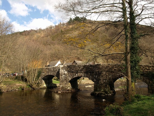
Fingle Bridge
Fingle Bridge is a 17th-century stone arch bridge carrying an unclassified road over the River Teign near Drewsteignton, within Dartmoor National Park...
Wooston Castle
Wooston Castle is an Iron Age Hill fort situated on the edge of a hill overlooking the Teign Valley in Devon some 200 metres above sea level, only 3 km...
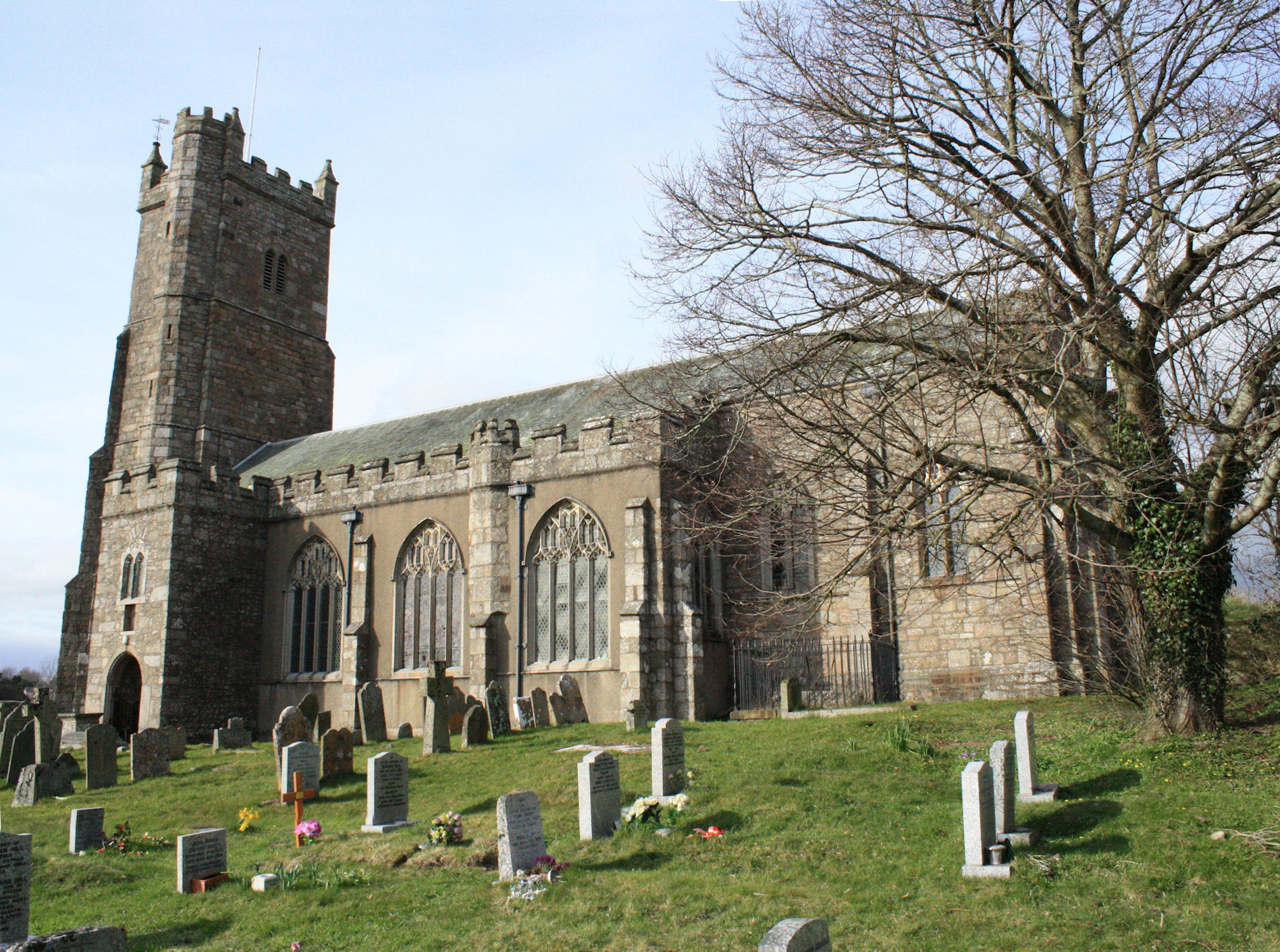
St Andrew's Church, Moretonhampstead
St Andrew's Church, Moretonhampstead is a Grade I listed parish church in the Church of England Diocese of Exeter in Moretonhampstead, Devon. == History... ==
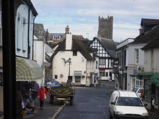
Moretonhampstead
Moretonhampstead is a market town, parish and ancient manor in Devon, situated on the north-eastern edge of Dartmoor, within the Dartmoor National Park...

Drewsteignton
Drewsteignton is a village, civil parish and former manor within the administrative area of West Devon, England, also lying within the Dartmoor National...
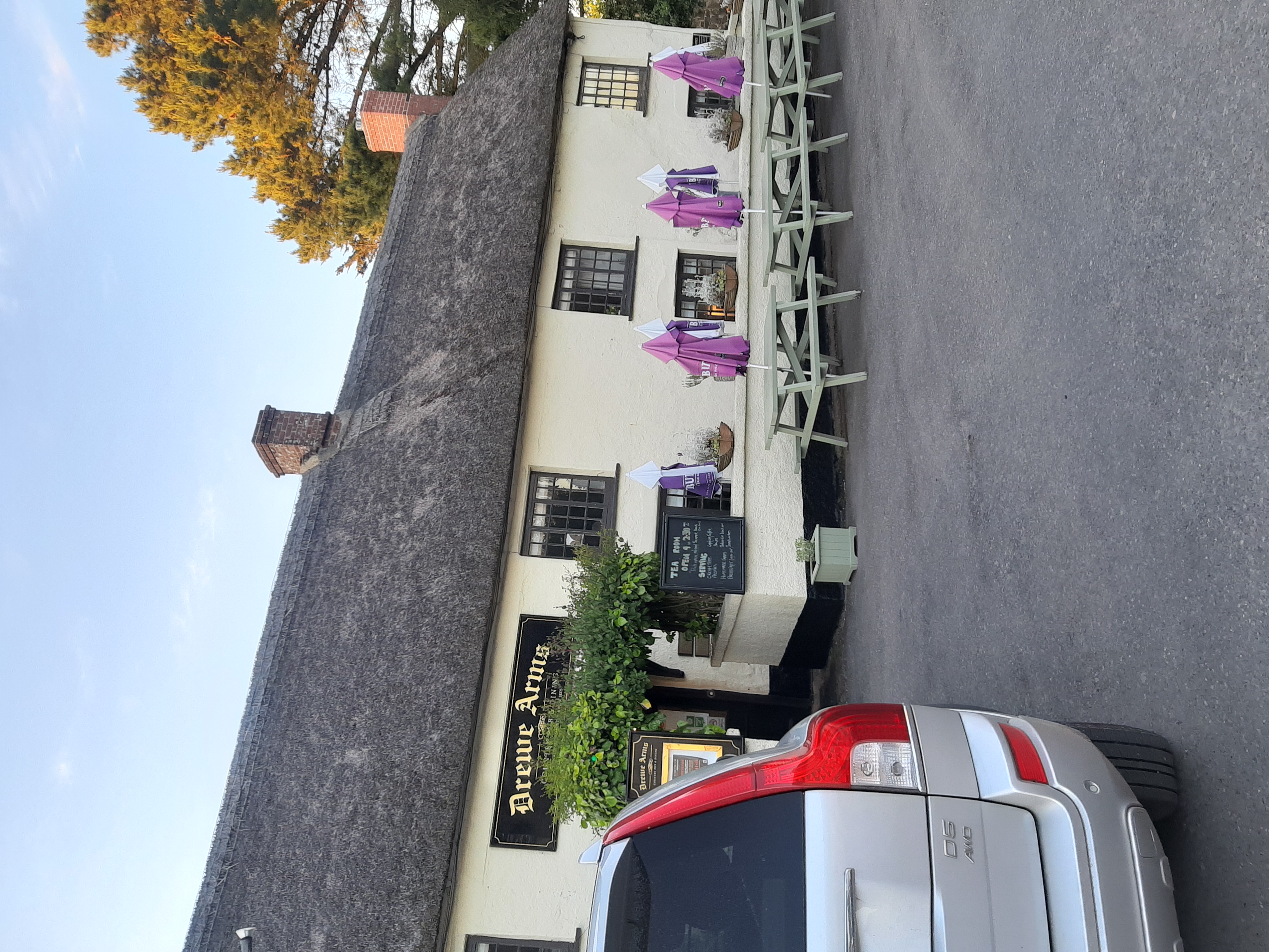
Drewe Arms, Drewsteignton
The Drewe Arms is a Grade II* listed public house on the north side of The Square in Drewsteignton, Devon. Built in the 17th century, the building was...
Nearby Amenities
Located within 500m of 50.682137,-3.7704909Have you been to Butterdon Hill?
Leave your review of Butterdon Hill below (or comments, questions and feedback).