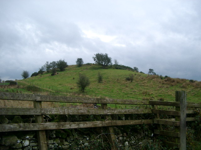
Mill Hill

Hill, Mountain in Kirkcudbrightshire

Scotland

Mill Hill

Glenlochar Barrage At the bottom of Loch Ken, the barrage controls the volume of water feeding into Tongland Loch further downstream, the daily storage for Tongland Power Station, the last in the chain of the Galloway Hydros.  The barrage is operated remotely from the control centre at Glenlee Power Station.
Glenlochar Barrage Credit: Paul Hookway

The requested URL returned error: 429 Too Many Requests

If you have any feedback on the listing, please let us know in the comments section below.
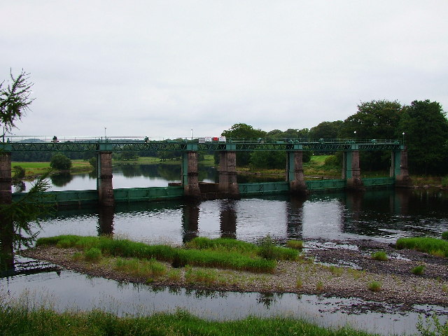
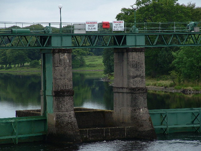
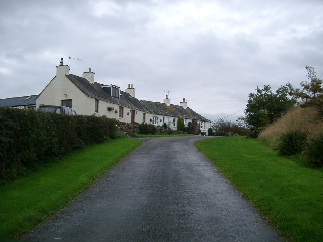
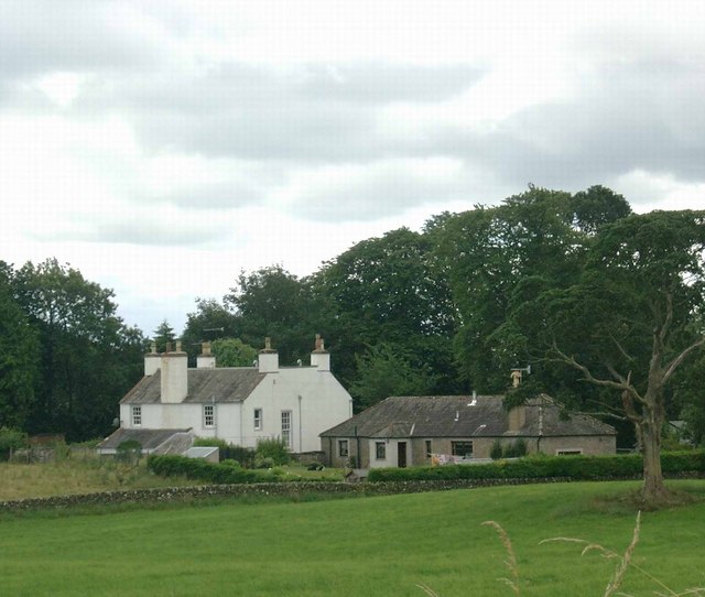
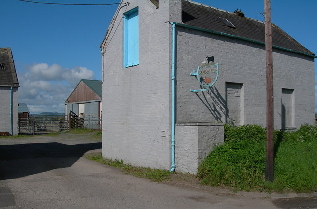
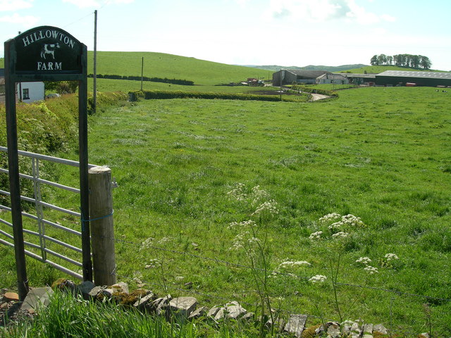
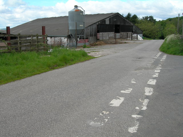
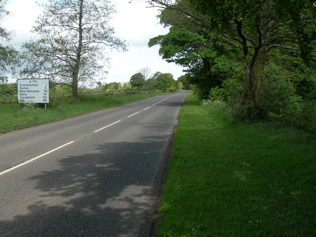
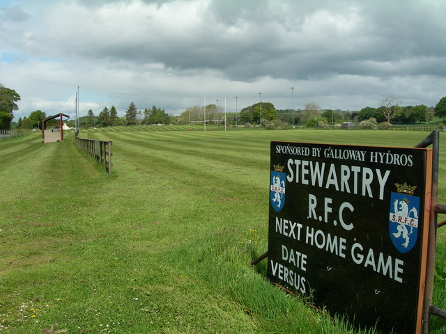
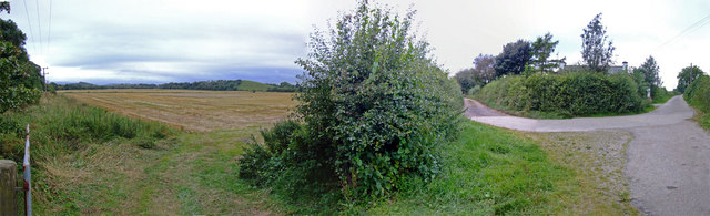
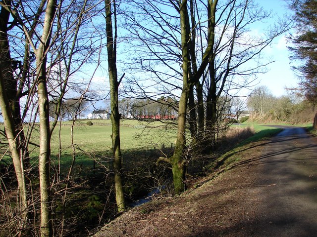
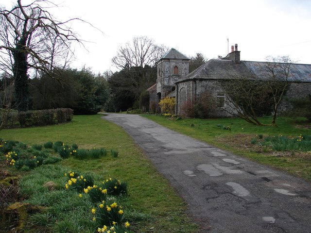
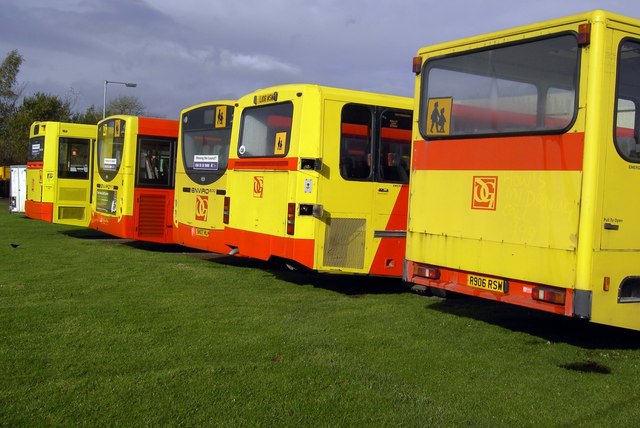
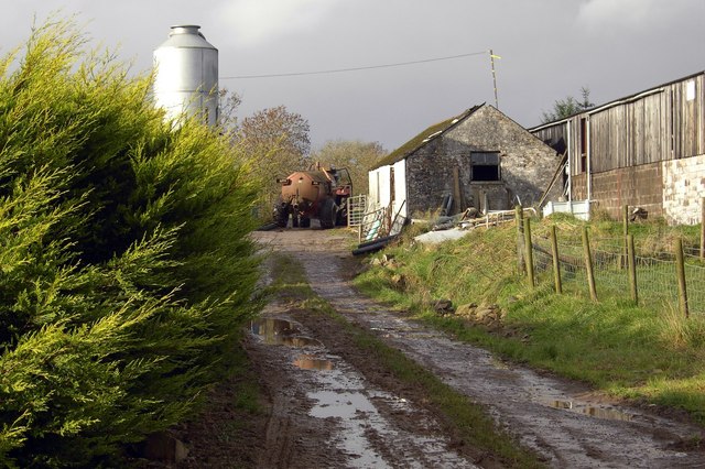
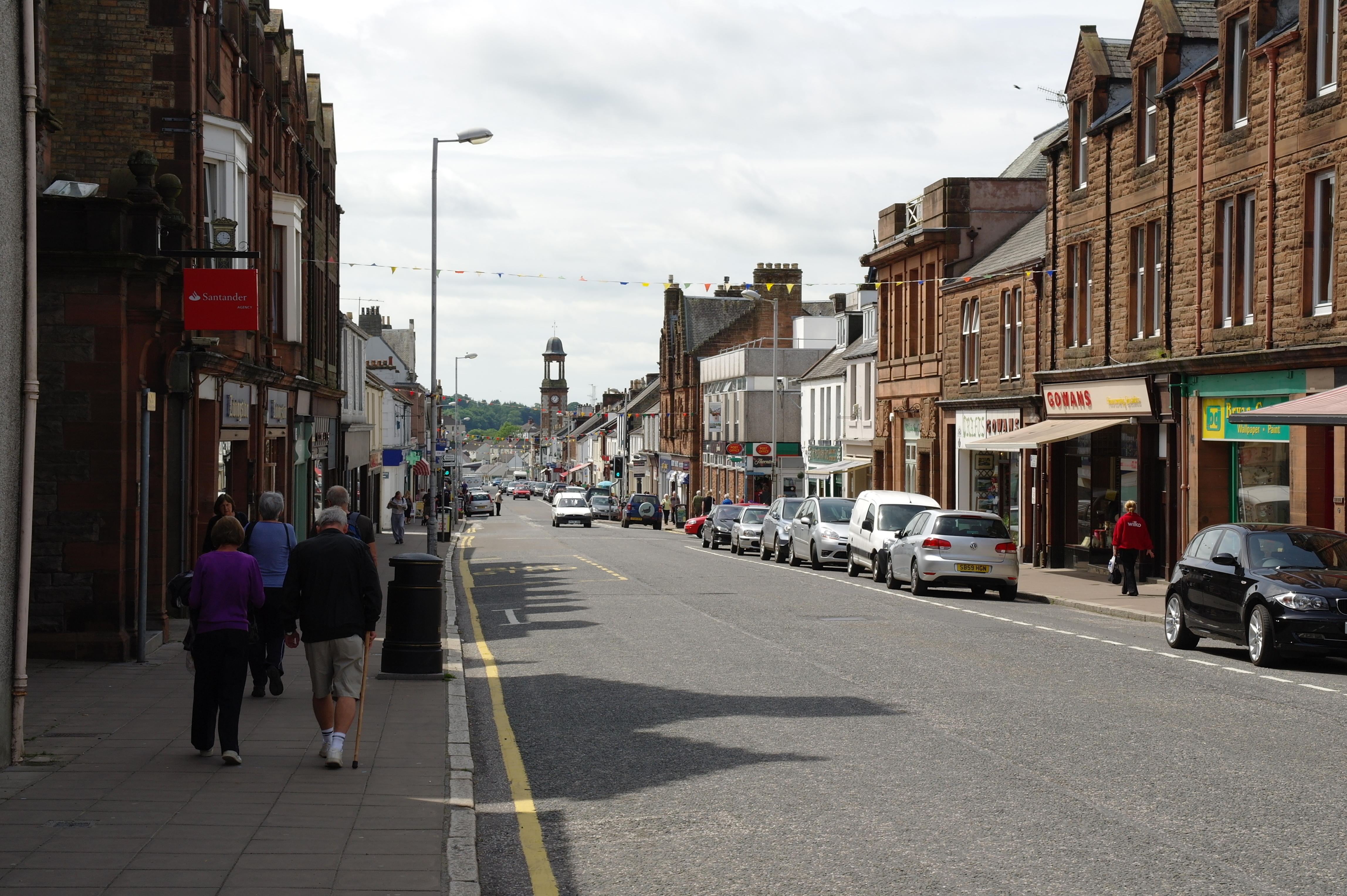
Mill Hill Images

Images are sourced within 2km of 54.960063/-3.9535462 or Grid Reference NX7564. Thanks to Geograph Open Source API. All images are credited.

Glenlochar Barrage At the bottom of Loch Ken, the barrage controls the volume of water feeding into Tongland Loch further downstream, the daily storage for Tongland Power Station, the last in the chain of the Galloway Hydros.  The barrage is operated remotely from the control centre at Glenlee Power Station.
Glenlochar Barrage
At the bottom of Loch Ken, the barrage controls the volume of water feeding into Tongland Loch further downstream, the daily storage for Tongland Power Station, the last in the chain of the Galloway Hydros. The barrage is operated remotely from the control centre at Glenlee Power Station.
Glenlochar Barrage
Glenlochar Barrage
Hill Fort near Crossmichael called Crofts Mote on the OS 1:25000, near Croft farm
Hill Fort near Crossmichael
called Crofts Mote on the OS 1:25000, near Croft farm
Houses, Ringanwhey taken on the by road between Crossmichael and old Bridge of Urr
Houses, Ringanwhey
taken on the by road between Crossmichael and old Bridge of Urr
Knockgill near B797 at Ernminzie It's not named on the 1:25000, so I hope someone local can identify it. Between Erminzie and Ellislade near Valleyfield Bridge close to the B795, though taken from the by road to the north.
Good news - one of our number supplied the name from 1st edn OS 6" - thanks for that.
Knockgill near B797 at Ernminzie
It's not named on the 1:25000, so I hope someone local can identify it. Between Erminzie and Ellislade near Valleyfield Bridge close to the B795, though taken from the by road to the north. Good news - one of our number supplied the name from 1st edn OS 6" - thanks for that.
Dunjarg House
Dunjarg House
Farm buildings at Sandfield
Ernmenzie
Ernmenzie
Hillowton Farm
Hillowton Farm
Farm buildings and junction at Crofts
A713 North West of Townhead of Greenlaw
Stewartry Rugby Club Fairly new ground and clubhouse which doesn't yet appear on map.
Stewartry Rugby Club
Fairly new ground and clubhouse which doesn't yet appear on map.
Farm Road Access road to Blairmichael Hill & old Castle earth works, near Wheatcroft Farm
Farm Road
Access road to Blairmichael Hill & old Castle earth works, near Wheatcroft Farm
Wheatcroft Farm, access road Gated road to the left
Wheatcroft Farm, access road
Gated road to the left
Meikle Ernambrie View toward Meikle Ernambrie from a coppice on the Burnbrae-Kilnotrie lane.
Meikle Ernambrie
View toward Meikle Ernambrie from a coppice on the Burnbrae-Kilnotrie lane.
Danevale Park Stables The C19 stables has a central doocot tower over the entrance to courtyard. The original Victorian Danevale Park House was demolished and replaced.
Danevale Park Stables
The C19 stables has a central doocot tower over the entrance to courtyard. The original Victorian Danevale Park House was demolished and replaced.
School buses School buses in Dumfries and Galloway.
School buses
School buses in Dumfries and Galloway.
Knockallan Farm Knockallan farm near Castle Douglas.
Knockallan Farm
Knockallan farm near Castle Douglas.
Show me another place!

Mill Hill is located at Grid Ref: NX7564 (Lat: 54.960063, Lng: -3.9535462)

Unitary Authority: Dumfries and Galloway

Police Authority: Dumfries and Galloway

What 3 Words

///tolerates.cascade.crypt. Near Castle Douglas, Dumfries & Galloway

Nearby Locations

Mill Hill

Related Wikis

Abbey Yard

Abbey Yard is a location in Dumfries and Galloway, Scotland. Abbey Yard is near Glenlochar in the historical county of Kirkcudbrightshire in the Dumfries...

Glenlochar

Glenlochar (Gd: Gleann Lochair) is a hamlet on the western bank of the River Dee in the parish of Balmaghie in the historical county of Kirkcudbrightshire...

Castle Douglas High School

Castle Douglas High School is a comprehensive state school situated in Castle Douglas in the historical county of Kirkcudbrightshire. It has approximately...

A75 road

The A75 is a primary trunk road in Scotland, linking Stranraer and its ferry ports at Cairnryan with the A74(M) at Gretna, close to the border with England...

Nearby Amenities

Located within 500m of 54.960063,-3.9535462
Power: pole
Lat/Long: 54.9600777/-3.9462564
Power: pole
Lat/Long: 54.9598591/-3.9472315
Power: pole
Lat/Long: 54.9596542/-3.9475841
Power: pole
Lat/Long: 54.9594785/-3.9488312
Power: pole
Lat/Long: 54.9592992/-3.950108
Power: pole
Lat/Long: 54.9591089/-3.9514868
Power: pole
Lat/Long: 54.9589449/-3.9526509
Power: pole
Lat/Long: 54.9587552/-3.9539979
Power: pole
Lat/Long: 54.9584258/-3.9551982
Power: pole
Lat/Long: 54.958066/-3.9565302
Power: pole
Lat/Long: 54.9576903/-3.9579281
Power: pole
Lat/Long: 54.9575012/-3.9591858
Power: pole
Lat/Long: 54.9593773/-3.9466239
Power: pole
Lat/Long: 54.9586783/-3.9469808
Power: pole
Lat/Long: 54.958288/-3.9523429
Power: pole
Lat/Long: 54.9576586/-3.9520519
Power: pole
Lat/Long: 54.9569499/-3.9516971
Power: pole
Lat/Long: 54.9564168/-3.9523259
Power: pole
Lat/Long: 54.9559276/-3.9528719
Power: pole
Lat/Long: 54.958549/-3.9582808
Power: pole
Lat/Long: 54.9593407/-3.9586441
Power: pole
Lat/Long: 54.9600176/-3.958763
Power: pole
Lat/Long: 54.960697/-3.9588947
Power: pole
Lat/Long: 54.9613813/-3.9590286
Power: pole
Lat/Long: 54.9622424/-3.9592007
Power: pole
Lat/Long: 54.9592419/-3.9588799
Power: pole
Lat/Long: 54.9590309/-3.9594067
Power: pole
Lat/Long: 54.9588637/-3.9598125
Power: pole
Lat/Long: 54.9586344/-3.9603989
Power: pole
Lat/Long: 54.9590431/-3.960913
The data included in this document is from www.openstreetmap.org. The data is made available under ODbL.

Have you been to Mill Hill?

Leave your review of Mill Hill below (or comments, questions and feedback).